


The River Aire and the Dales Highway- LONGER WEEKEND WALK
Sat 14th Nov 2026
Walk Details:
Event Type
Group Walk
Region
Northern England
Local Group
West Lancashire
Distance
17ml.
Start Time
9am
Route
Start point North Street Car Park, Gargrave, BD23 3RN
https://what3words.com/less.discusses.skinny
https://maps.app.goo.gl/v59QVn7Pafe6ATqx8
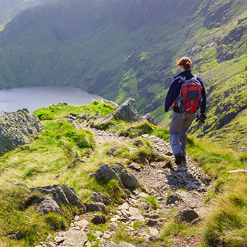
The walk will be a 16–17 mile circular route from Gargrave. The route will initially follow the Pennine Way, over fields and along the banks of the River Aire, towards Malham with views of Malham Cove in the distance. Before Malham we will turn off, passing Janet’s Foss and then onto the road. There is a short tarmac section uphill towards Weets Cross & Weets Top trig point. This is the highest climb on the route.
The route then follows the Dales Highway down towards Winterburn Reservoir before cutting back across farmland, finishing with a short road section back to the carpark.
General Notes
Total elevation is around 2000ft. The terrain is mixed with some slippery limestone but predominantly on well-defined bridleway tracks and across fields. There are likely to be some puddles and muddy fields following heavy rain.
Hope to see you on Saturday
Contact
Jane Godsland
Email
Start

Finish
Entry Details:
Cost
Maps:
You can use the interactive controls to zoom in and out and to move around the map, or click on a marker for more info. (interactive map help)
Contains Ordnance Survey data © Crown copyright and database right 2016.
© OpenStreetMap contributors under Open Database Licence.
Rights of way data from selected Local Authorities.
Large scale digital mapping is provided by John Thorn.
© OpenStreetMap contributors under Open Database Licence.
Rights of way data from selected Local Authorities.
Large scale digital mapping is provided by John Thorn.
Accommodation within 20 km of this Event:
Hostel Accommodation
Hostel Accommodation
Bunk House
12 km
Hostel Accommodation
14 km
Bunk House
Hostel Accommodation
Camping Barn
Group Accommodation
Hostel Accommodation
19 km
Hostel Accommodation
Walkers are Welcome