


Lancashire Way Northern Loop
 Day 1 of the Third part of the Lancashire Way – the Northern Loop – 21st March 2019
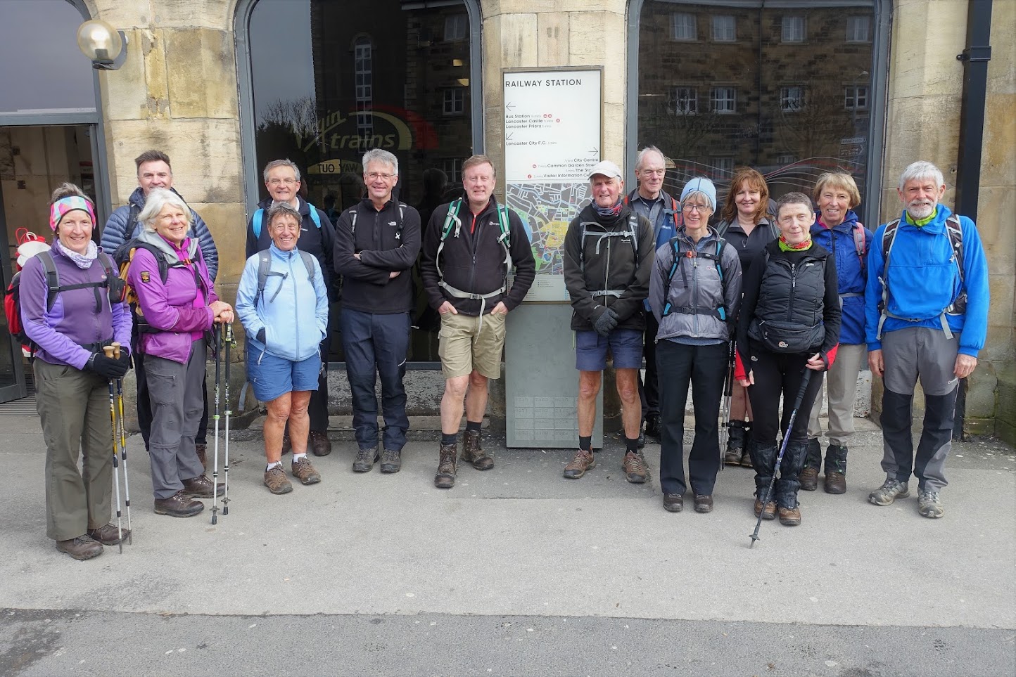
The first day of the Northern Loop had an unfortunate start with traffic chaos in Lancaster, which delayed the arrival of a number of us, including myself as leader. Not the best start but everyone still seemed to be in good humour.
The day was to be split into two parts. The first part of the Lancashire Way to be walked would only be about 9 miles. The reason for this is that there is a section of the Way from Abbeystead to Wray/Hornby which is 17/19 miles over the Northern Bowland Fells, with considerable ascent, and a day which cannot really be split. The distance to Abbeystead is just over 24 miles, which would be too much for one days walking so there was no alternative other than to complete this in two days. I concluded that the best way of doing this was a short first day from Lancaster to Galgate and to supplement this with a walk around Lancaster, the historic county town of Lancashire, to learn something of its past.
So, having explained this, we set off from New Quay to St Georges Quay to discover how the River Lune brought the first real wealth to the city. Unfortunately, the Captured African’s Sculpture brought into sharp focus were some of this wealth came from – the Slave trade, with around 29,000 slaves transported by Lancaster ships before the abolition of slavery in 1807. The port of Lancaster was indeed the fourth largest port in Britain from 1750 to 1780 and hence the well-preserved Customs House and many of the original warehouses.
From here it was back in time to firstly the remains of Roman Baths, and then up to Lancaster Priory and the Castle, which had been the centre of the city for centuries. The Castle is part of the Duchy of Lancaster and I tried to explain the history behind how Queen Elizabeth II, as our current Sovereign, came to acquire the title of the Duke of Lancaster and associated wealth today of around £0.5 billion.
Whilst some of Lancaster’s past may be considered shameful, the City and its inhabitants did seem to try and make amends for this with examples of philanthropy such as the Dispensary and the Storey Institute on Castle Hill. Onward past the oldest house in Lancaster, the Judges House from 1640 to more recent buildings emphasising the City’s heritage such as the Lancaster Joint Stock Bank and Co-op on Church Street, to the old Town Hall and Library in Market Square. The former houses a free Museum which includes an impressive Roman Mile Stone.
Then on to Dalton Square, with the Queen Victoria Memorial in its centre, with four lions at each corner guarding the Queen and four friezes symbolising the ideals of Truth, Justice, Wisdom and Freedom. On each side are images of the great and the good through the Victorian era, with just two ladies. The statue was donated to the city by Lord Ashton, who was also responsible for the Town Hall behind and of course the Ashton Memorial, in Williamson Park, which was to be our next stop. The climb up to the park took in Lancaster Boys Grammar School, which has been in existence since 1235, and the Cathedral.
The Ashton Memorial, which we are all very familiar with from afar, is certainly a very impressive and substantial structure up close. From here back down in to Lancaster to the Castle but not before a brief walk along the Lancaster Canal and my opportunity to talk about its history including its fly boats and the industry and wealth that it brought including cotton mills such as the one at White Cross.
And so finally, after lunch by the castle, we could make the short walk to Lancaster Railway Station to begin the Lancashire Way. Today would be quite a simple walk and was probably need after all that history and all those dates. We head back down to the River Lune and then follow the Lancashire Coastal Way down the Lune to Glasson using the old railway track for much of the route. At Glasson the view point just above the port, with its great panorama, provides an excuse for a final rest before heading along the Glasson branch of the Lancaster Canal to Galgate, where we could catch a bus back into Lancaster to pick up the cars.
Length of walk – approx. 7 hours – 15 miles. Ascent 998 ft.
Photos can be seen 'here'
For more details see Stages 29 and 30 on www.lancashireway.com
 Day 2 of the Third part of the Lancashire Way – the Northern Loop – 28st March 2019
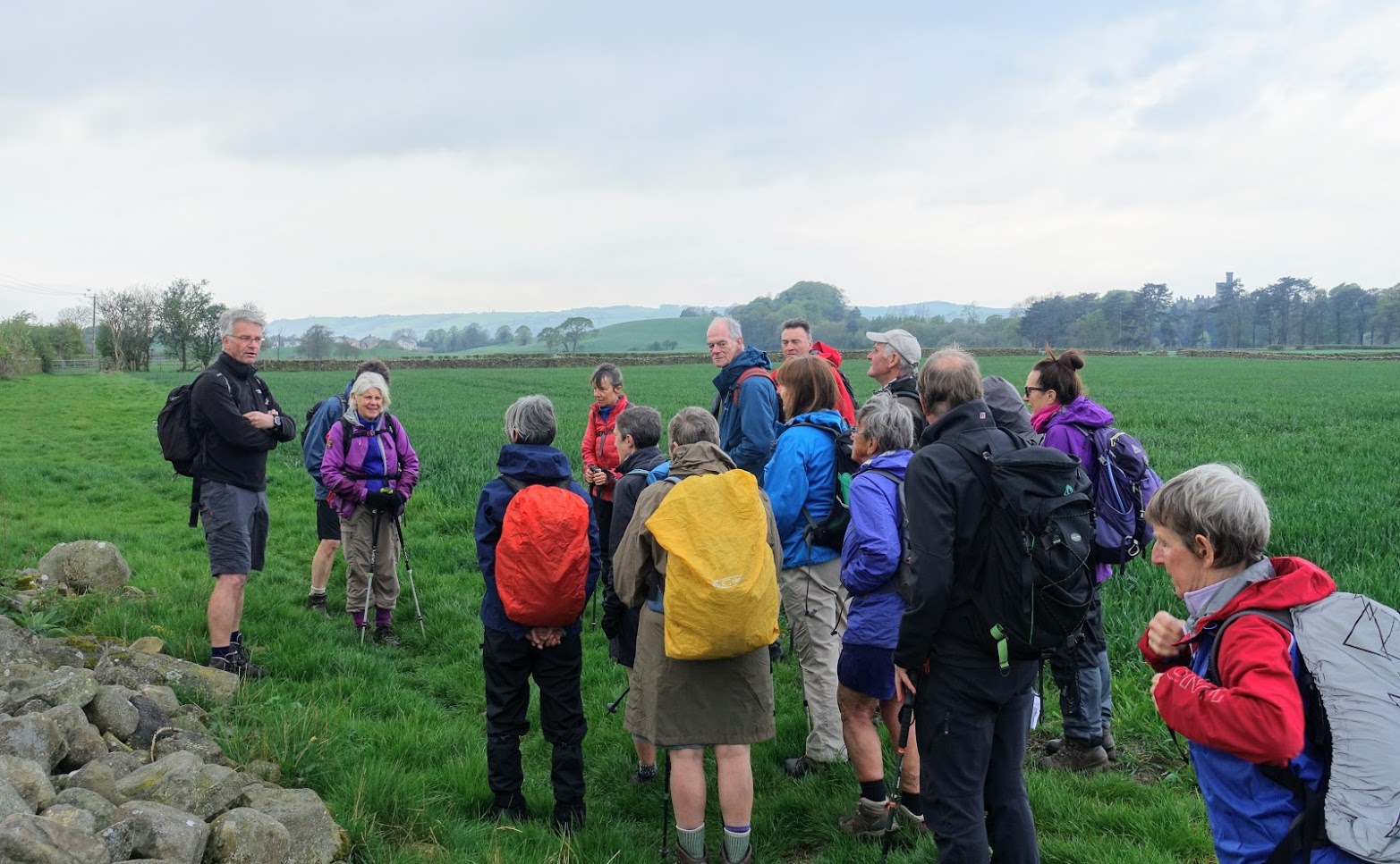
The day started well without any traffic problems for once and therefore we all met up on time in Abbeystead at 9am and then we performed the car share transfer to the start of the walk in Galgate. And it got even better with a largely sunny day bringing out the very best of this part of Lancashire.
A short walk to the junction of the Glasson Branch of the Lancaster Canal near Galgate to pick up the Lancashire Way was followed by around four miles of towpath walking south along the canal to Cabus Nook, where we could then head east to the village of Scorton. Four miles of canal may be too much for some, but this part of the walk does make its way through some lovely rolling countryside and there was the odd heron and swan as well to add interest. Then across the A6 and the River Wyre and into Scorton for a drink’s break in the children play area.
We needed the break before the climb up to the summit of Nicky Nook with great views all round and we met up with a future LDWA member en route – a nine-day old baby aided by very brave parents. Then down into the Grizedale valley with its reservoir and lovely woods before stopping at Grizedale Bridge for lunch.
It was then north along the road followed by the footpath which skirts the bottom of Harrisend Fell to Foxhouses Brook. There are more great view from here in particular the ridge of Northern Bowland Fells ahead from Clougha to Ward’s Stone, our destination for next week. Let’s hope that the weather and visibility is just as good then.
From here the Lancashire Way takes one of its many detours and heads back down into Street to take up the Wyre Way all the way into Abbeystead. We firstly followed the river into Dolphinholme and then we climbed up above the valley through lovely green pastures with many newly born lambs before dropping back down to the river through more pretty woods.
Then a brief stop to look at the memorial plaque commemorating the death of those killed in the 1984 Abbeystead water pump house explosion before crossing the Wyre for the last time by the newly refurbished cast iron foot bridge by the Abbeystead Reservoir. This makes for one of the best views in Lancashire, in my opinion, with the water creating lovely patterns as it cascades over the circular weir, the water of the reservoir behind and then Ward’s Stone as the far background. I am looking forward to seeing Brian’s photographs as I am sure he will do this justice.
And then the final walk through woods back to the cars parked next to the river by Stoops Bridge in Abbeystead. The Wrye is a lovely river set in a beautiful valley and made the perfect end to the day’s walk.
Length of walk – approx. 6.5 hours – 16.5 miles. Ascent 1,805 ft.
Photos can be seen 'here'.
For more details see Stages 30, 31 and 32 on www.lancashireway.com
 Day 3 of the Third part of the Lancashire Way – the Northern Loop – 4th April 2019
The day began with an early start of 8.30am to catch a coach from the end point of the village of Wray to the beginning of the day’s walk in Abbeystead. The revised parking location of the car park behind the Methodist Church worked a treat – thanks to Glyn who clearly has friends in higher places than me.
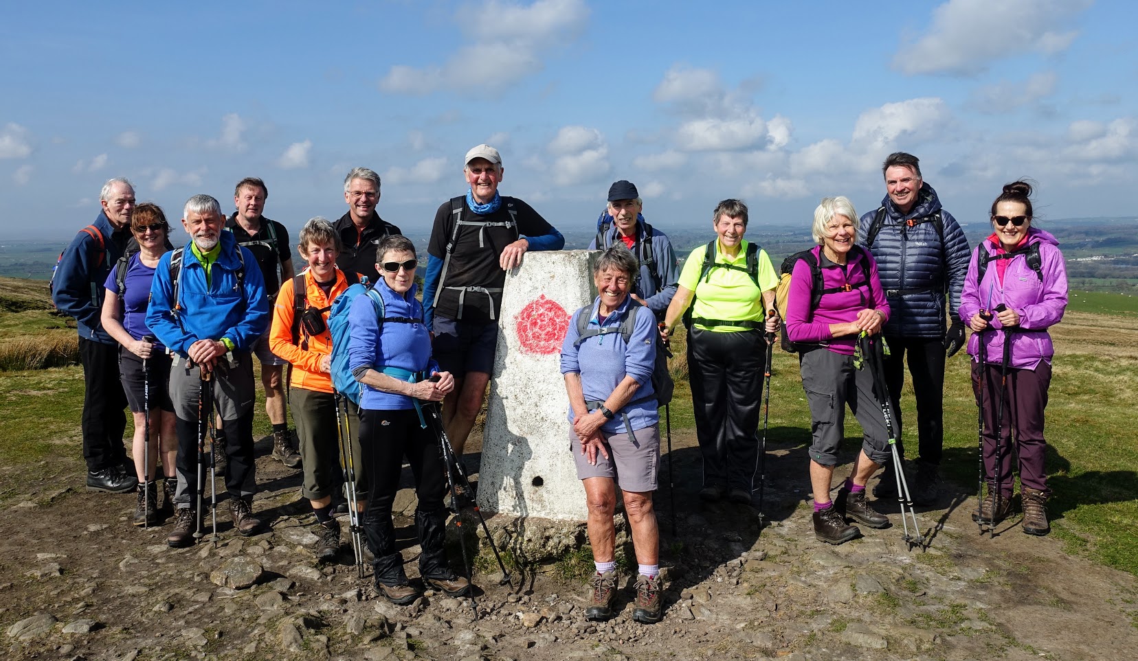
We began walking at around 9.15am in Abbeystead with a short amble along the Wyre before heading onto open access land and the Bowland Fells to the north. The next hour or so is a constant climb up to the ridge that runs along the Northern Bowland Fells from Clougha in the west to Wolfhole Crag in the east. Initially we used one of the good access tracks but once we reached the top we then turned east along the boggy, wet, and today, a snow covered path that heads up to summit of Ward’s Stone. We had a deserved break just below the summit in the lee of the hill away from a very cold easterly wind, which was with us most the day and unfortunately in our faces for much of the initial part of the day. However, there was no rain and we had patches of warm sun from time to time and the views all around were improving.
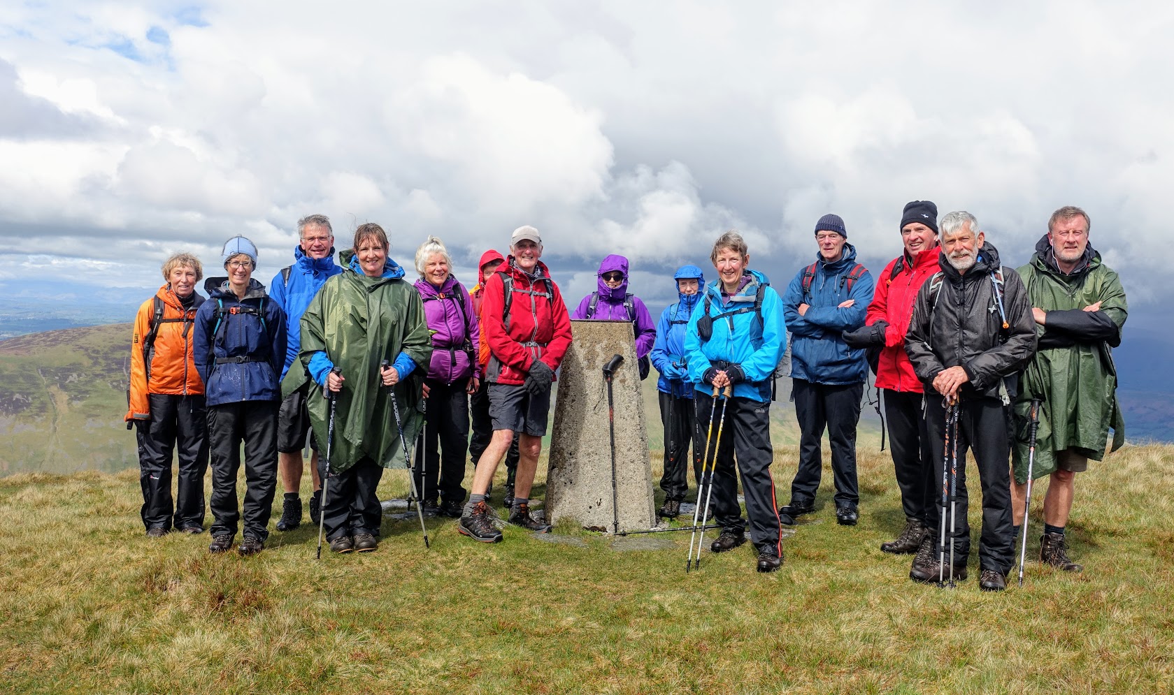
Then it was the short walk to the first of two trig points which mark the two highest points on the plateaux top that is Ward’s Stone, which, as we all know by now, is the second highest point in Lancashire at 561m. From here we followed the boundary fence east to another access track up from Tarnbrook where we had lunch in the lee of a peat hag. From here it is a steady climb up to next trig point, which marks the summit of Wolfhole Crag at just 527m. Whilst the wind was still biting, the views had improved further with the distinct “big end” of Pendle Hill and the Southern Bowland Fells visible to the south, whilst to the north we could see our destination of Day 5 – Gragareth, the highest point in Lancashire, and its only mountain, sandwiched between Barbondale to the West and the snow topped Three Peaks of Yorkshire to the east.
We then descended to the Hornby/Salter Road to a point that is less than half a mile from part of the Central Loop of the Lancashire Way and so if you wished you could combine both Loops into one continuous long-distance walk. However, I do not think I will have too many volunteers for this feat! The walk along the track to Salter Farm was helped by the wind which was now behind us and that constant great view north and west of snow topped peaks including Ingleborough and even some of the Lakeland Fells.
The final part of the day involves the descent down the Roeburn valley to our finish in Wray, which begins with the waterfalls of Harter Beck and then for ease, after a fairly hard day’s walking, makes use of the quiet road on the eastern side of the valley. And still no rain to spoil the day inspite of the brooding black clouds around us.
Length of walk – approx. 7.5 hours – 18 miles. Ascent 2,141 ft.
Photos can be seen 'here'
For more details see Stages 33 on www.lancashireway.com
 Day 4 of the Third part of the Lancashire Way – the Northern Loop – 25th April 2019
Having had a break for the last two Thursdays and as a result having missed what looked like two of the best days weather this year so far, I woke to a weather forecast that promised significant and heavy rain showers. This would be such a shame as the day’s walk takes in a lovely part and not well known part of Lancashire with several pretty villages, which can be appreciated all the more in the sun!
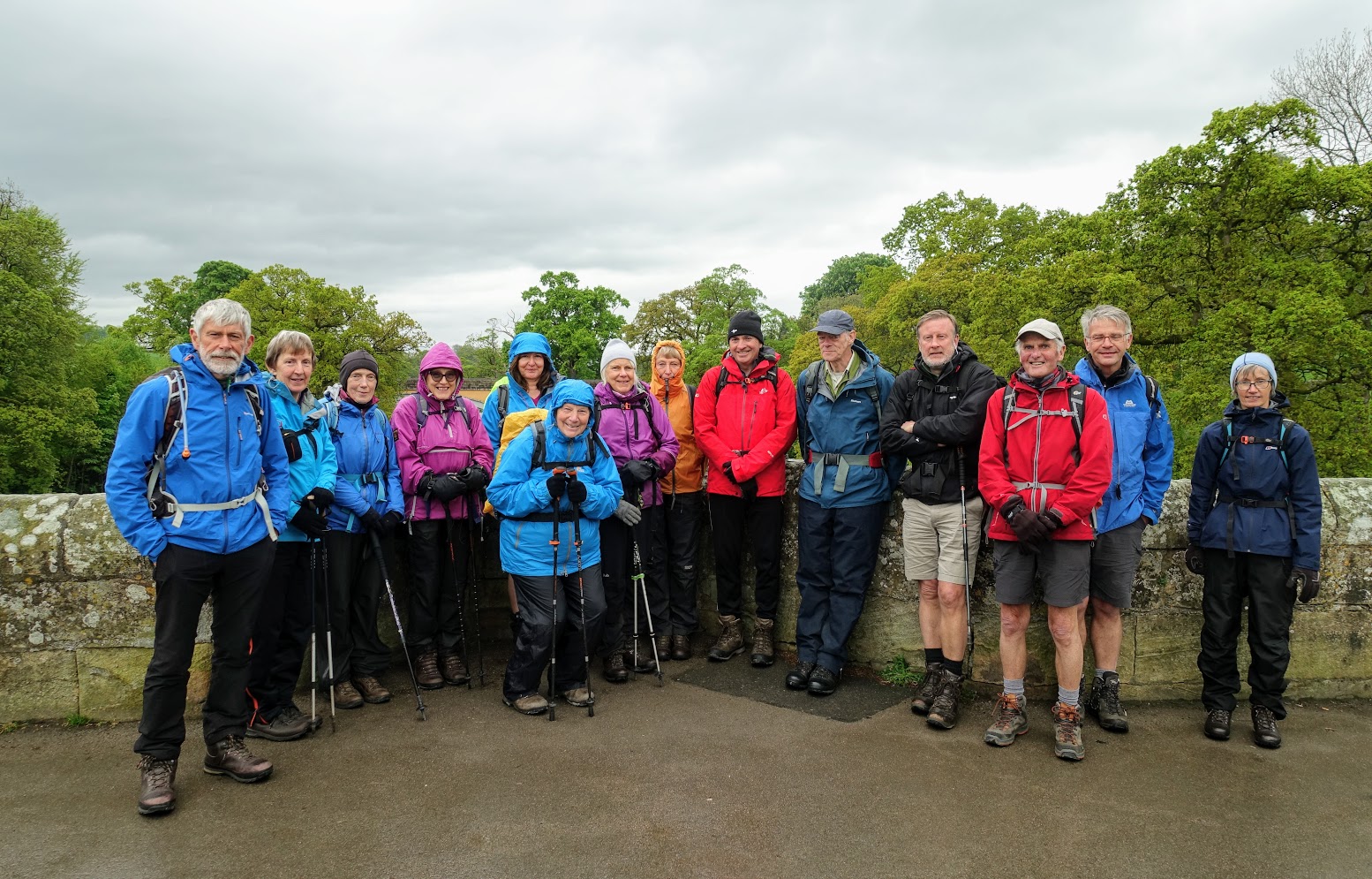
The day began by catching a coach from Cowan Bridge to the start in Wray but not before a few issues over parking behind the Tea Rooms next to Village Hall, which resulted in a reluctant move of all our cars to the Church car park about a quarter of a mile away.
So a slighty later start than planned at almost 10am from Wray, which was preparing for its annual Scarecrow competition as it is the Scarecrow Village of Lancashire. The first part of the walk crosses fields to the next village of Hornby, with its prominent castle on the other side of the River Wenning. We crossed the river and then took a wide arc around the village by continuing west along the Wenning and then turning north following the River Lune to the Loyn Bridge.
A brief drink’s stop in the wood by the bridge gave us the opportunity to view the first of many bluebells on todays walk. And then on with the walk again after explaining that in two more days walking time we will be on the opposite side of the bridge having walked all the way up the eastern Lune valley to then return to the same point by the western bank of the river – but this is unavoidable if we are to climb to the top of Lancashire’s only mountain – Gragareth, which could now be clearly seen to the north.
So we followed the flood plain of the Lune north for about two miles making use of the flood embankment but trying to avoid the herds of cows and trees and branches brought down by floods and then it was into the village of Melling. This is one of my favourite villages in Lancashire and it was a shame that it was a little too early to stop here for lunch. So on we went to the next village of Wrayton, which provide a nice grassy spot for this. We arrived in sunshine but to the south the clouds were beginning to look dark and ominous – it looked like the rains were on their way after a relatively pleasant morning.
The next part of the walk takes in an unavoidable and sometimes busy road section as we use the road bridge over the River Greta (the only crossing in Lancashire!) and then the road into Tunstall past Thurland Castle. We then turned right into Church Lane and stopped off at St John’s church, which has two fascinating stories associated with it. The first is a beautiful old painting, which still hangs proudly in the church and which featured on the BBC programme “Fake or Fortune” and proved to be a masterpiece by the Renaissance painter Francesco Montemazzano. It is great to see that it is still available for all to see in the church. The second is the fact that this was the church that the Bronte sisters attended when they attended school in Cowan Bridge almost 3 miles away, which they had to walk every Sunday regardless of the weather. This and the poor conditions in the school appear to have contributed to the deaths of the two of the sisters and was probably instrumental in the fictional school called Lowood and cruel Headmaster Mr Brocklehurst in Charlotte Bronte’s famous novel Jane Eyre.
Just after our visit to the church we encountered our first rain shower, but it is brief and we then follow the Bronte walk for about 1.5 miles to the Roman Road near Cowdber Farm and then its off to the A65 near Hipping Hall. At this point we could have returned to the cars but in an effort to shorten next week’s strenuous and lengthy day’s walk we start Stage 35 by walking an extra two miles to Fellside Barn up a lovely old lane past Leck Hall and with an abundance of bluebells in the adjacent woods. Behind us the valley was filled with black clouds and very heavy rain but we were still in sunshine, which accompanied us back on the final mile and a half back down to the cars - how fortunate we had been and hopefully we will be equally as luck next week, when we climb to the very top of Lancashire and beyond.
Length of walk – approx. 6 hours – 15 miles. Ascent 1,139 ft.
Photos can be seen 'here'
For more details see Stages 33/34/35 on www.lancashireway.com
Day 5 of the Third part of the Lancashire Way – the Northern Loop – 2nd May 2019
 The day began with a complicated car share from the Devils Bridge in Kirby Lonsdale to the start of the days walk from Fellside Barn part way up Leck Fell. These exercises all seem easier on paper but finally we were all ready to begin the days walk at about 9.30am with the addition of Chris, who appeared again, as if my magic!
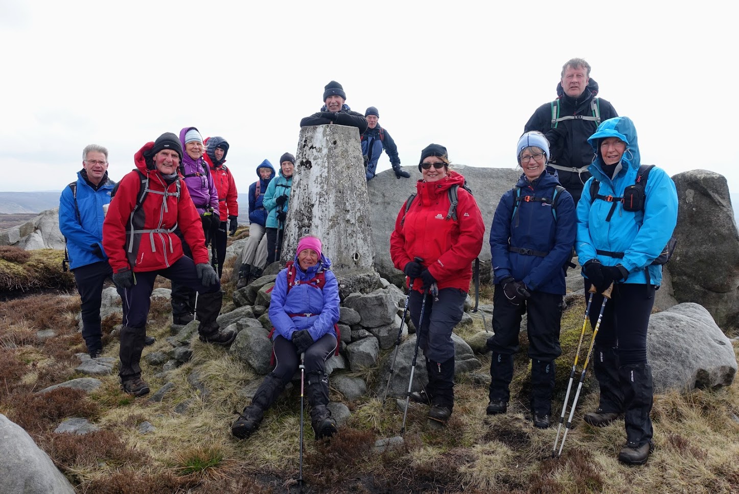
So, a straight climb to the top of Gragareth, which has been our ultimate destination since the beginning of Northern Loop in Lancaster. The highest point in Lancashire, and the county’s only mountain, at 627m high and is reached via the Leck Fell road, the many cairns just above Leck Fell House including the Three Men of Gragarth. Unfortunately, when we reach the trig point at the top, we are largely in mist and although the weather does give occasional glimpses of the surroundings my fear is that we will spend much of the day missing the fantastic views that this walk gives.
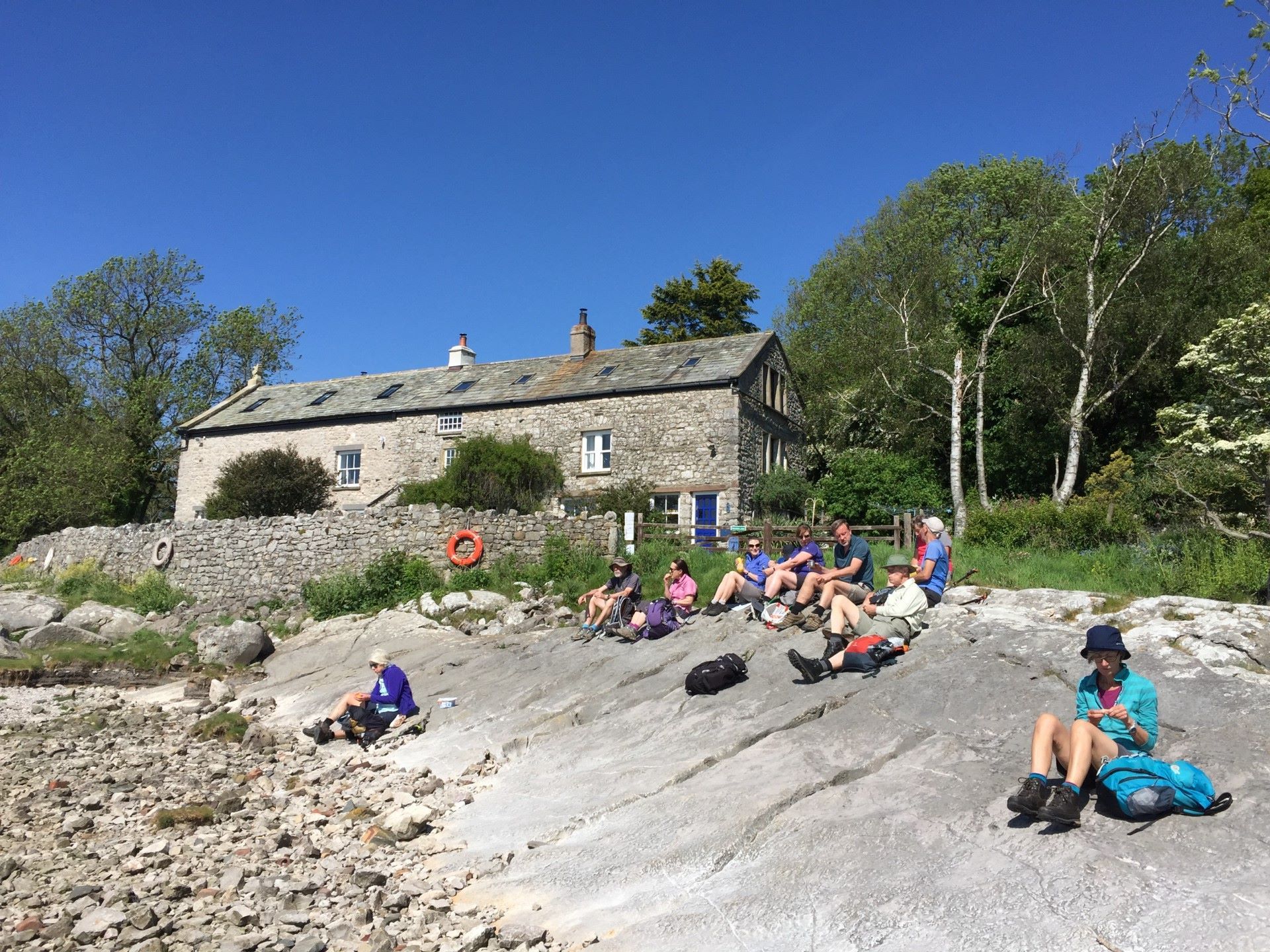
Then to the boundary wall for a well-earned break, which unfortunately had to be taken over the wall in Yorkshire, which was more sheltered. Then back again in Lancashire to follow the boggy path by the boundary wall all the way to the County Stone, where Lancashire finally runs out and there is no option but to cross into Cumbria. But the good news was that the cloud had lifted and Whernside, Ingleborough to the east and Barbondale and the Lakeland Fells to the West and Morecambe Bay to the south were largely visible. However, it was not for long as we then got caught in a very heavy shower but by the time we had got to the trig point at Crag Hill, via Great Coum (687m – the high point of the day), the sun was out again and we started to dry off. It was just after twelve noon, so it seemed like a good place to rest and have lunch with views all around. To the south it was lovely and sunny but to the north there were ominous black clouds and torrential rain over the Howgills. We all kept our fingers crossed that they stayed to the north!
Suitably rested we then descended towards Bullpot but before we got there, we took a detour across Casterton Fell to Ease Gill via the potholers well marked path. Down into valley were the river descends over a waterfall and then under ground to leave the valley dry downstream. We are now back in Lancashire, if we remained on the left bank that is, and then it is down the river bed for about a mile, peering into the odd potholers cave entrance, to pick up the main path again by the “Kirk”. Here we heard, and then saw, my first Cuckoo of the Spring – a good omen perhaps, as the weather was still holding up.
Then down the Leck Beck valley into the village of Leck, through some of the most beautiful woods with an abundance of bluebells and flowering wild garlic, and on to the A65. Here we had the only history of the day as we stopped by the school that the Bonte sisters had attended in Cowan Bridge and was the model for the fictional school of Lowood in the famous novel Jayne Eyre.
The last part of the day is a simple amble down Leck Beck and then through fields to Whoop Hall, followed by a short but unavoidable section along the A65 before a final descent through fields back to Devils Bridge. Unfortunately, we have just crossed back into Cumbria, as this is the only way across the River Lune and our return south next week.
Length of walk – approx. 7 hours – 15 miles. Ascent 1,900 ft.
Photos can be seen 'here'
For more details see Stage 35 on www.lancashireway.com and http://www.lancashireway.com/stage-35
Day 6 of the Third part of the Lancashire Way – the Northern Loop – 9th May 2019
Another early start, but after two car parks and a coach trip we arrived at Devil’s Bridge in Kirby Lonsdale to begin the long days walk at round 9.30am. It was a grey cloudy day and rain threatened.
The walk begins with a five mile stretch along the very edge of the River Lune to the village of Arkholme, where we had a short break in the grounds of the lovely St John The Baptist church, with the remains of a “motte” castle in its grounds. Then we continued south along the Lune including some lovely woods, but perhaps one too many stiles, to the Loyn Bridge, where we finally say goodbye to this great river and headed inland to the village of Gressingham.
Lunch was had in the churchyard but there was no duck on the menu today! We then climbed out of the village and joined the quiet road toward the village of Aughton, with great views across the valley and back to hills of last week, including the distinctive peak of Ingleborough.
The route then turns west across numerous fields, and again too may stiles with a large group, on the way to the village of Over Kellet, where we finally get our first view of the sea and Morecambe Bay. Another short break on the well kept village green and then more fields to Capernwray, where we joined the Lancaster canal to pick up our pace for the next two miles to Tewitfield – the end of the navigable part of the canal.
There followed a short stretch along the disused part of the canal known as the Northern Reaches before heading under the M6 on to Yealand Conyers. Our climb to the top of the limestone ridge above Yealand is rewarded by another brief break and what I think is one of the best views in Lancashire (evidenced by several benches!) looking down to Leighton Hall and then over the Moss to Arnside and Morecambe Bay.
The final part of the day is a 2.5 mile section down past the Hall and across the Nature Reserve to the visitor centre and then past the Railway station ( the starting point for next week’s final leg) and up the road to collect the cars at Eaves Wood car park. It was now just after 6 o’clock – a long days walk, with perhaps too many stiles, but some really pleasant sections and we had manged on the whole to avoid any real rain, although we never really saw the sun all day.
Length of walk – approx. 9 hours – 21 miles. Ascent 1,200 ft.
Photos can be seen here
For more details see Stage 36 to 39 on www.lancashireway.com and
http://www.lancashireway.com/stage-36
http://www.lancashireway.com/stage-37
http://www.lancashireway.com/stage-38
http://www.lancashireway.com/stage-39
Day 7/Final Day of the Third part of the Lancashire Way – the Northern Loop – 16th May 2019
 We met in Lancaster at the railway station, which is the beginning and end of the Northern Loop and caught the train up to Silverdale – a mere 16 minute journey but one that would take about 8 hours on the return by foot.
The good news was that the glorious weather of earlier in the week was still with us – warm, sunny and a largely blue sky. The walk begins with the end of Stage 39 from the station into the centre of the village of Silverdale. From here we head through this pretty village up to Silverdale Cove, past Victoria Wood’s old house, which ever one it was. The Cove is the most north westerly point of Lancashire and is the start of the Lancashire Coastal Way, which we will follow for most of the day. Unusually the tide was in so we had to take the route across the fields at the top of the cliffs back into Silverdale. From there it is south along the road, past Gibraltar Farm and Lindeth Tower, where Elizabeth Gaskell wrote her novel Ruth. On to Jack’s Scout with great views along the coast and then past Jenny Brown’s Point for our first stop on the shore near to the smelting chimney. Our break was accompanied by shortbread biscuits, decorated with the Lancashire Way boot, made by Ann who unfortunately could not make it today.
Then it was across the valley and up to the top of Warton Crag – the only notable climb of the day. From here, with its height, are some of the very best views of Morecambe Bay, including the Lakeland Fells and even our old friend Ingleborough to the east. A careful descent and then into the village of Warton for lunch in the church yard. This unassuming village has a great history, evidenced by its 14th century Rectory, hidden away from the road and the fact that the descendants of the first President of the USA came from here. Inside the church you will find details and of course the pub next door is called the George Washington.
Out of the village and back on to the Lancashire Coastal Way. This section is not great but as we head south along the coastline it begins to improve as the marches give way to pebbly beaches and the never-ending sand across the bay, for the water has now retreated. A brief stop at Red Bank farm so that Jean can buy the biggest ice cream possible is followed by a trig point at just 21m above sea level. Then back along the coast to Hest Bank and a pebbly section to pick the road and promenade into Morecambe.
At the start of the walk I had explained that the ending of the Northern Loop had caused a dilemma. I had considered taking the canal from Hest Bank into Lancaster, which would have involved walking over the Lune Aqueduct, one of the wonders of the canal world. But such an important part of Lancashire’s heritage is the seaside town that so many Lancastrian’s would flock to during their brief summer holidays or just on a day trip. And Morecambe is, after Blackpool, probably the most famous of these seaside resorts and so the route continues along the Coast into the town. And it does not disappoint, with those magnificent views to our right as we head south along the promenade. If you have not been to Morecambe for some time, then choose a nice day and I am sure you will not be disappointed because money has been spent renovating the town giving it a renaissance, which will be truly completed if plans for an Eden Project on the front come to fruition. We stop for a final break on the Stone Jetty, which is one of my favourite places in Lancashire sitting looking across the Bay towards the peaks of the Lake District.
Just four miles left back to Lancaster, which unfortunately is along a very straight and busy cycleway, through the urban suburbs of Morecambe and then Lancaster. But it is over relatively quickly and before we know it, the River Lune is there on our right. A climb up and over the high Railway Bridge gets us to the other side and then it’s the final stretch along St George’s Quay, up to the Priory and behind the Castle to the Railway Station.
So we are finished – just over 110 miles of walking, plus our history walk around Lancaster, over seven days. Thanks to all who joined me on this third part of the Lancashire Way – I hope you enjoyed it as much as I did. In my opinion it is probably the best of the three loops with great beauty and so much variety – from a mountain to coast and great rivers and villages between.
For more Photos please click 'here'
A huge thank you to Brian for the hundreds of great photographs that he has taken, which truly brings the walk to life.
Length of walk – approx. 8 hours – 20 miles. Ascent 800 ft.
For more details see Stage 39 to 42 on www.lancashireway.com and
http://www.lancashireway.com/stage-39
http://www.lancashireway.com/stage-40
http://www.lancashireway.com/stage-41
http://www.lancashireway.com/stage-42


