


Lancashire Way Eastern Loop
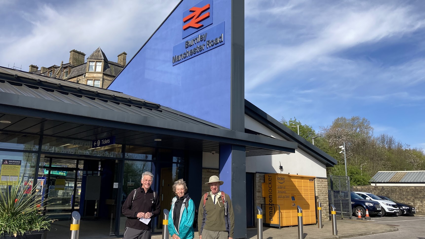
Thursday 21 April 2022 LANCASHIRE WAY EASTERN LOOP DAY 1
Walk Leader: Neil Harwood
Distance: 16 miles
Weather: a chilly easterly breeze especially in the morning but sunshine all day
The Eastern Loop of the Lancashire way begins and ends in Burnley – the capital of East Lancashire? From the Manchester Road railway station, we quickly pick up the Leeds Liverpool canal. Whilst not always pretty it has great industrial heritage, known as the Weavers Triangle with remains of the Wharfe, Toll House and various mills. The 0.5km long Gannow tunnel briefly interrupts our progress along the canal and then it’s a quick walk through a residential part of the outskirts of Burnley.
We then turn off the Padiham road and we are into the country, well the grounds of the estate of Gawthorpe Hall, which is our first short stop. It is a beautiful building set by the River Calder and probably one of the best historical houses in Lancashire. The route then picks up the Burnley Way following the Calder upstream and then its on to the Pendle Way with a short climb up to the village of Higham. There are great views on the way and the lovely village of Higham is the perfect stop for a quick drinks break.
We continue to follow the Pendle Way as far as Newchurch and the grounds of St Mary’s church with its “Nutters” grave is the perfect spot for lunch in the sun. The next stop is Clarion House, the only remaining Independent Labour house in the country dating back to 1912. No time sit on the many new benches to take in the view and it is only open on Sundays these days. From here its through the very pretty village of Roughlee stopping to look at the relatively new Alice Nutter statue complete with daffodils in her chained hands. Over the stepping stones and on to Barrowford making sure we took in the views back to Pendle and north to Blacko Tower.
From the Heritage Centre in Barrowford we make a quick detour to cross the Higherford packhorse bridge that dates from the 16th Century and then it back on the canal at the Barrowford locks - not more canals I hear you think! But this is short lived walk as the towpath ends at the entrance of the Foulridge tunnel and we are forced to go “over land”. But this gives us the excuse of taking in the picturesque Lower Foulridge reservoir, which provides the canal with it’s high demand for water. Then into Foulridge itself but no chance to look around as it is straight to the bus stop just in time to catch the 15.19 fast “Wizz” bus back to Burnley. So we are back before 4pm – a quick 7.5 hour round trip and a 16 mile walk with lots of interest and perfect weather too.
Photos can be seen 'here'

Thursday 28 April 2022 LANCASHIRE WAY EASTERN LOOP DAY 2
DAY 2 – Stage 3 to 5 - Foulridge (GR 888 423) to Laneshaw Bridge (GR 922 407) via Barnoldswick and Earby.
Walk Leader: Neil Harwood
Distance: 17 miles
Weather: a cool and grey cloudy day but no rain
The walk began in Foulridge passing the old Wharfe at the northern entrance to the Foulridge tunnel on the Leeds Liverpool canal. After about a mile on the towpath we came off at Bridge 149 to begin our climb up to Weets Hill via the statues at Duck Pond Farm. There are probably few stranger sights on any walk in Lancashire but they make a great foreground for views north into Yorkshire.
After a quick stop on the bench near the summit of Weets Hill taking in the great views, we use the Pendle Way to descend into the town of Barnoldswick. The route then comes off the Pendle Way to explore parts of the town on the Steam and Stream Heritage Walk. Outside the Bancroft Mill, we get talking to a volunteer who then promptly invites us into to view the two engines. A magnificent sight and we all make a note to come back on one of the Sundays when it is officially open to the public.
We then pick up the canal again and follow it north to take lunch at Greenberfield, which is the highest point on the canal. From here the locks start their descent into Yorkshire, which is only half a kilometer from here. In fact, on the next section of the walk we do briefly transgress into Yorkshire on the outskirts of Thornton-in-Craven. Then we begin our walk south as the Lancashire Way spends the next 30 miles or so following first the border with Yorkshire and then Greater Manchester to the town of Whitworth, which is most SE point in the county of Lancashire. Our first stop on this trek is the village of Earby with its old Grammar school and Youth Hostel with memories for some.
The Pendle Way provides a good route back to Laneshaw Bridge which is the end of the day. We miss the outskirts of Kelbrook and I spend a some time replacing Lancashire Way signs, which have been removed on this section! Someone here does not like them? Highlights of this final section include the daffodils in the garden of Harden Clough Farm and views from Knarrs Hill. We finish just before 4pm and it is just a ten minute drive to recover one of the cars in Foulridge.
Photos can be seen 'here'
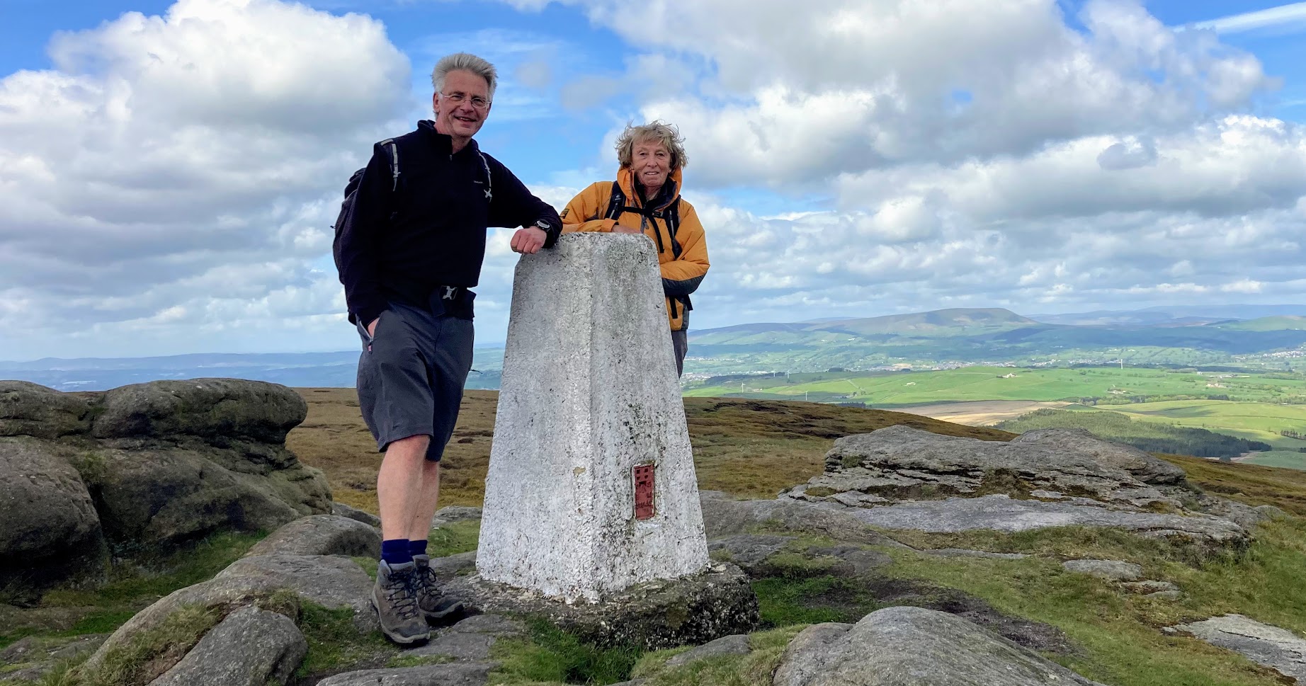 Thursday 12 May 2022 LANCASHIRE WAY EASTERN LOOP DAY 3
DAY 3 – Stage 6 to 8 - Laneshaw Bridge (GR 922 407) to Cliviger Gorge via Wycoller, Lad Low and Hurstwood.
Walk Leader: Neil Harwood
Number on walk: 3
Distance: 17 miles
Weather: a cold strong wind but often sunny
We all managed to find the meeting point at Ratten Clough and then it was a drive to the start at Laneshaw Bridge, 30 minutes away. Unfortunately it was a cold and grey day but we were lucky as it quickly brightened up,
First stops are the lovely village of Wycoller and then up to the panoptican called the Atom. My two companions had not been here for years, which I really could not believe. Too much time practicing for their Hundreds!
Then its on to the Pennine Bridleway (PB) for a while before coming off for the steep climb up to the summit of Lad Low accompanied by the song of a nearby cuckoo. There were great views from this summit which at 517m high is one of the seven highest in Lancashire.
Back down to the PB and we continue south to the Thursden valley. Lunch in the pretty woods was accompanied by numerous butterflies.
It is a steep climb out of the Thursden valley and then south over the moors before dropping down to the reservoir and village of Hurstwood. A quick look around some of the properties, including Spenser House with its literary links and its off again. The next mile or two is dominated by the “hushings” before exiting on to the Causeway. The route then takes us through Coal Clough Wind Farm, with its huge turbines making the most of the strong wind, which had been with most of the day.
The final section takes us along the southern edge of the Cliviger Gorge with great views into Yorkshire just down the valley and in particular Stoodley Pike. It is then just a short decent down to the road and back to the cars at a respectable time of 4.15pm.
I am also learning lots about the wildlife on these walks in particular the birds. Last week we saw a Little Owl and this week curlews, lapwings at close quarters, a great crested Grebe, a dipper to name but a few. Thanks to both Jaqui and Brian.
Photos can be seen 'here'

Friday 20 May 2022 LANCASHIRE WAY EASTERN LOOP DAY 4
DAY 4 – Stage 9 to 10 - Cliviger Gorge to Edenfield via Whitworth and Scout Moor.
Walk Leader: Neil Harwood
Number on walk: 3
Distance: 18 miles
Weather – wind, cloudy, sometimes sunny and some short spells of rain. What you expect of Lancashire!
The day started with the bad news that Brian, one of my regular Lancashire Way walkers and resident photographer of the walk, could not attend. Fortunately we were being joined by Ian, another Hundreder. The logistics were not simple today but we all found the cross roads in Burnley and then took one car to the start at Ratten Clough, which is where we had ended the previous week.
The day begins with a steep climb south out of the Cliviger Gorge more or less along the boundary with Yorkshire. There are good views down the valley with Stoodley Pike still visible and it is clear why it is called a “gorge”. It’s origin is apparently due to glacial meltwater erosion at the end of the last ice age. After the climb we pass over into Rossendale and pick up the Rossendale Way, which we follow along the ridge above the Spodden valley on and off to the village of Whitworth.
We have a quick stop in Whitworth to view the historic Square and the tale of the Doctors’ and their trail. We now change direction and having headed south for around 30 miles we turn west and climb back out of the Spodden valley up to Rooley Moor.
Still on the Rossendale Way we join up with the Pennine Bridleway (PB) with its cobbled track, which I believe was once a railway taking stone down into the valley from the quarries further on. A quick detour up to Top of Leach, the highest point in Rossendale at 474m, and Cowpe Lowe, is followed by the climb up to Scout Moor via Waugh’s Well. Fortunately, that is the end of the climbing for that day with a total ascent of just over 2,500ft.
It is then a decent down to the A680 and then on to the end of the walk on A56 near to the Duckworth Arms. But the day does not end there. We now had to get back to Burnley and our cars via two buses. A brief wait and the 681 service arrives to take us to Rawtenstall where unfortunately we have just missed the onward Witches Way service and the next bus is not for another 25 minutes. This gives us an opportunity for a quick wander around the town, which is surprisingly pleasant with a cobbled main street and great shops. The Friday afternoon traffic slows us down a little but we are back to the cars before six o’clock.
Photos can be seen 'here'
 Thursday 26 May 2022 LANCASHIRE WAY EASTERN LOOP DAY 5
DAY 4 – Stage 11 to 13 - Edenfield to Haslingden Grane via the Peel Monument and the Wayoh, Jumbles and Entwistle Reservoirs.
Walk Leader – Neil Harwood
Number on walk – 3
Distance – 20 miles
Weather – very wet in the morning but got better and by mid afternoon the rain had stopped and the sun was shining at the finish!
There are two car parks on Haslingden Grane – Clough Head and Calf Hey – and I had not been clear with my instructions so I was waiting at one and my walkers at another but we sorted it out and then took one of the cars to the Duckworth Arms near Edenfield, which is only about 7 minutes away and is where we finished last week.
Unfortunately, the weather was foul with heavy rain all morning. But with the full kit on we began the 20 miles of walking. The route begins with the Irwell River, the Stubbins Estate and then Buckden Woods, which is normally a very pleasant climb back out of the valley up on to Holcombe Moor but not today! We then turn south and head over the border into Greater Manchester to the Peel Monument. At 128 feet high, it is a great sight across this part of the Eastern Loop but it as the Manchester Guardian put it, it is “not a specimen of architectural beauty”.
A quick stop and then it is back into Lancashire via Harcles Hill and on to the Pilgrim’s Cross and then Bull Hill. The trig point on Bull Hill currently has a painting tied to it of poppies and soldiers. Not a water colour fortunately but a poignant reminder of those who have given their lives for this country. Its then down to Black Moss, which must be one of the wettest and boggiest stretches of path in Lancashire and today it lived up to its reputation. The morning ended with the decent down to Crowthorn, with its many buildings built by the National Children’s Home that dates back to 1872, and then on to Edgworth.
I was looking for shelter for lunch and we decided upon the warmth of the White Horse pub, which graciously allowed us to eat our sandwiches inside. I think our drowned rat appearance helped in their decision but we were much appreciative.
Stage 12 follows which is a walk in itself and almost ends up where we started. It takes in the three Reservoirs named above, Turton Towers and Cheetham Close. It is just over six miles long and as well as the earlier morning section uses parts of the Two Crosses and Red Rose 50 routes so is familiar to many in parts . The trig point on Cheetham Close is only 1,077ft high but does give great views in all directions including our last view of the Peel Monument.
The last section of the day heads up the Broadhead valley to another trig point on Hog Lowe Pike, before a steep decent down to the Calf Hey Reservoir. By this point the sun had appeared and we had finally dried out after that awful morning. It was a shame because it is an excellent walk but this is East Lancashire and the weather is not always kind.
Anyway just one day to go! Lets hope for a sunny ending.
Photos can be seen - HERE
For full details of the route please click here


