


Original Amble: Sat 24th March
 Leader:- Doreen & Gareth
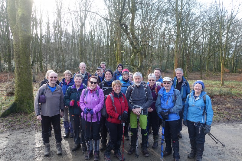
Number on walk:- 19
Distance:- 21 miles
Weather:- Sunny and dry
In 1982 when the Amble was first planned as an event, and before the days of Gps’s and open access, routes were measured on the maps using a piece of cotton thread. Although the Amble was said to be 21 miles most people considered it to be between 19 and 20 miles.
The walk ascends Rivington Pike by a slightly different route than currently and then it crosses Rivington Moor directly to reach Winter Hill TV station. This can be a wet, boggy way across and not recommended in poor visibility. The original descent starts from the trig point and drops down quite steeply to Wards reservoir before walking through Belmont to pick up the route we use nowadays, still over wet tussocky ground and under the pylons to the Entwistle checkpoint where today we were met by John Evenden who was doing some back-up for us.
Leaving Entwistle the route again differs, the original going round the reservoir and through the woods to reach the A666 and ascending a rough track before descending over uneven ground ,crossing the footbridge, and climbing up to the white sink (still there after 36 years) and continuing round to the Mildred Barker seat before coming down to reach the Tockholes Road and the ruins of Hollinshead Hall.
We were met once more at Piccadilly by John and were glad of the refreshments before we commenced the boggy climb up Great Hill. Until the final ¾ mile the route stays the same as the present one but comes back to the Great House Barn a different way.
We had a good group of 19 going round and there was a lot of laughter and banter despite the rough and wet terrain which made it hard work in a lot of places and the GPS’s all came to around 21.5 miles so making the original mileage correct.
To see photos press 'here' and 'here'


