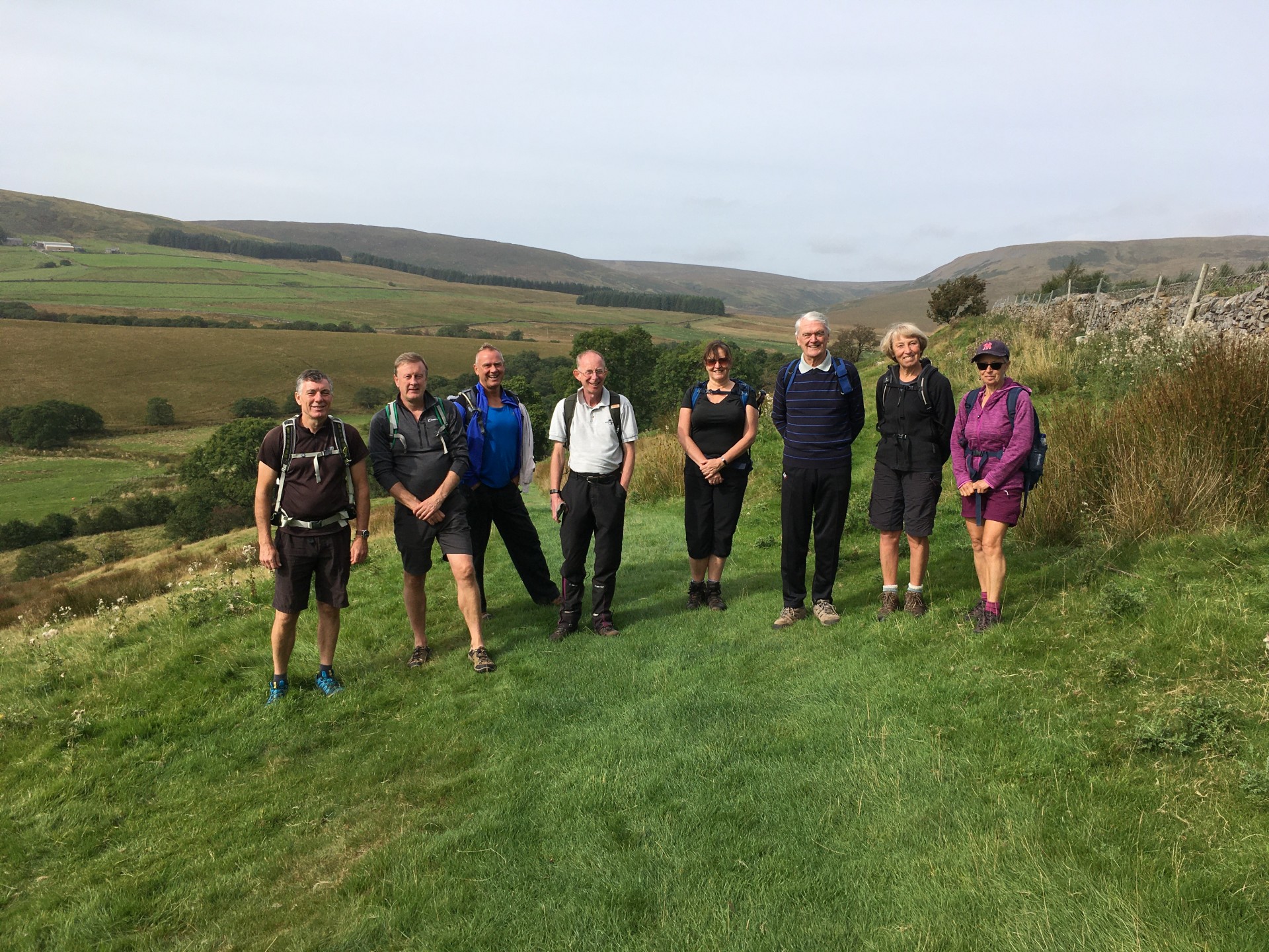
Slaidburn

Walk leader: John Clarke
Number walking: 9
Distance: 11 Miles
Weather: The weather for the entirety of the walk was dry, sunny and clear which showed off a beautiful part of the region to its best.
Start/ finish point. Slaidburn Village center
From the center of Slaidburn the walk headed north across the fields to Holmehead Bridge then followed the River Hodder to Hammerton Hall. Once past the Hall the route took us onto the eastern bank of Stocks Reservoir which was followed through to Gisburn Forest. The lakeside path through the Forest was followed until the lunch stop by the ruins of New House which over looks the upper stretches of The River Hodder.
After lunch the Hodder was crossed and the path that runs along the western bank of the reservoir was followed until the embankment forming the southern tip of the reservoir was reached. The access road to the reservoir was then taken, after a very short section along the Bentham Road the path to Shay House was taken, upon reaching Croasdale Brook the path leading south through the fields was taken back to Slaidburn.


