


THE FAIR TRADE WAY
The Fair Trade Way.
The Fair Trade Way is a 90 mile walk of six stages. It starts appropriately in Garstang, the world's first fair trade town and finishes in Keswick, linking fair trade towns on the way. For details see www.fairtradeway.org.uk/the-walks/
Stage 1. Garstang to Lancaster
Thursday 28th. February 2013
Not a cloud in the sky and the promise of a beautiful day. What a way to start our series of walks!
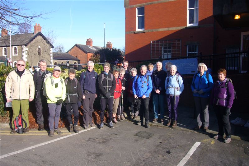 |
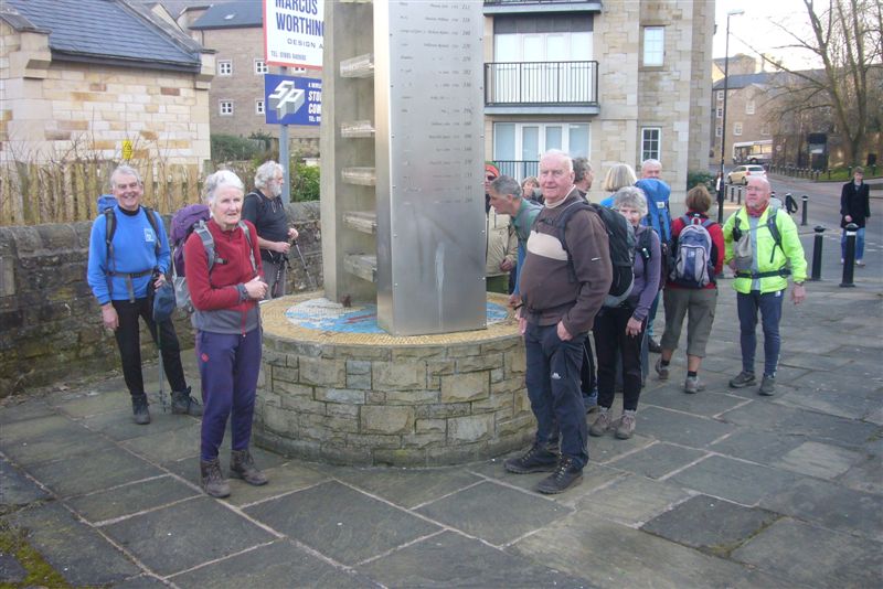
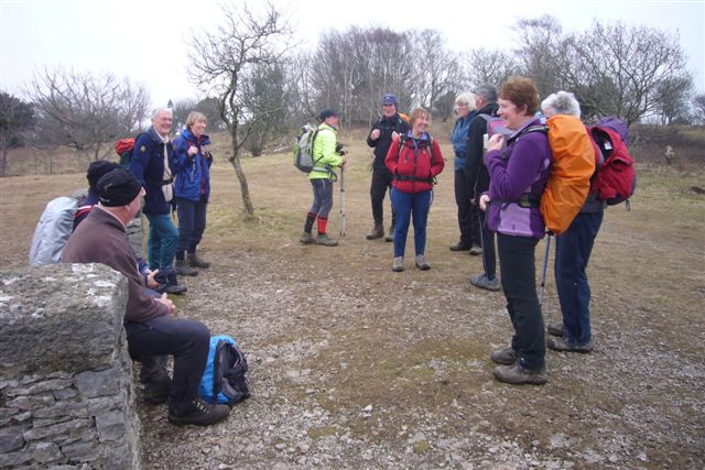
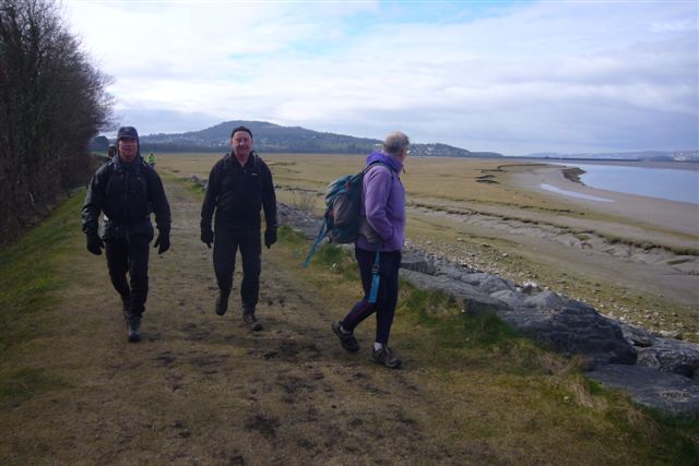
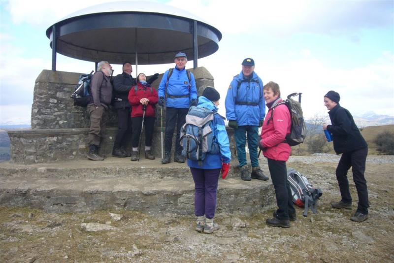
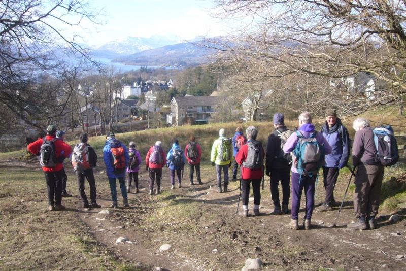
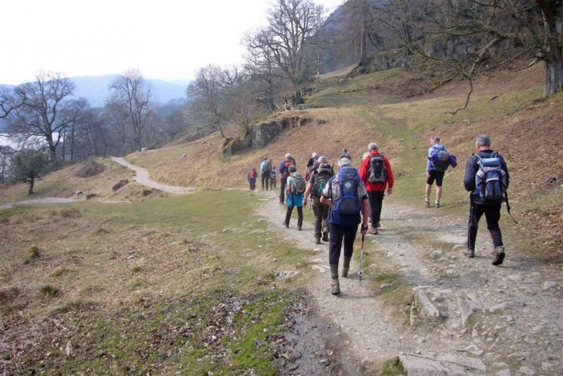
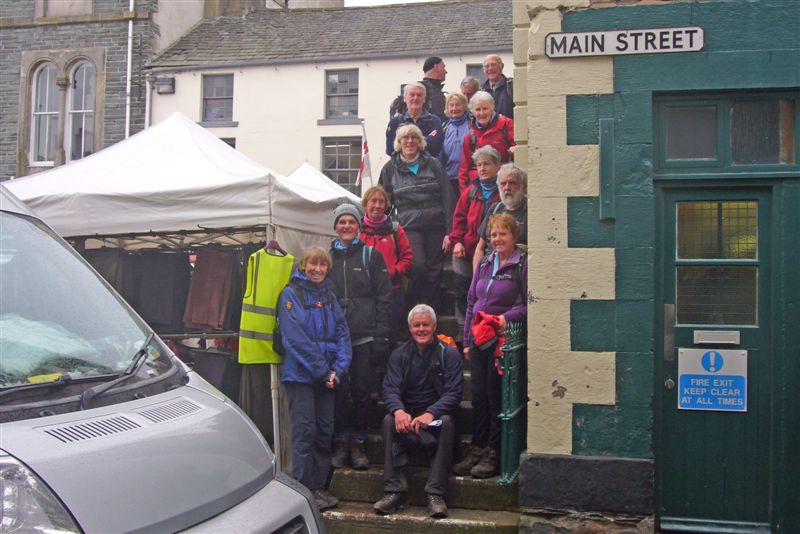
START LINE UP
Starting at the Fig Tree Cafe in Garstang we headed south, out of town and joined the towpath of the Lancaster Canal, which we followed for the next 7 miles. To many of us long sections of canal walking aren't the most interesting, but with a lively chat going on between our group of 18, pleasant rural scenery on either side and glorious sunshine, who could complain?
 |
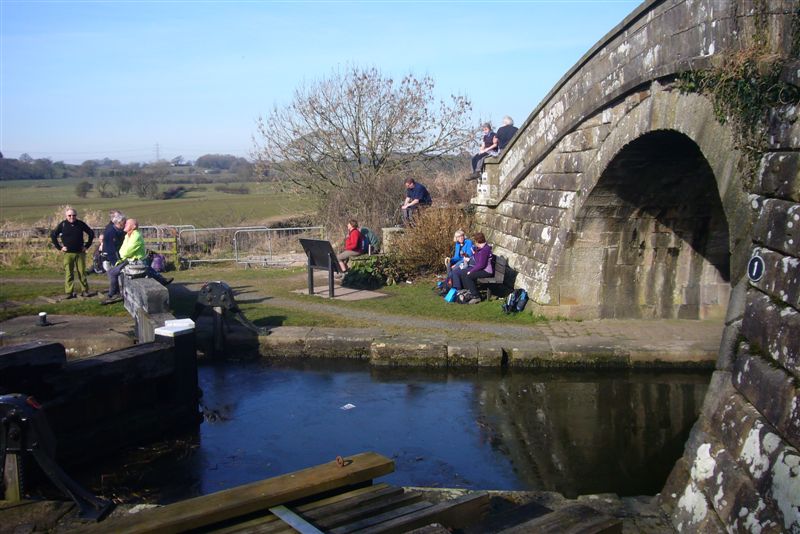 |
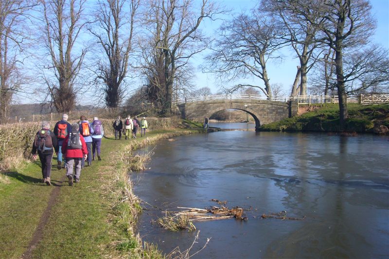
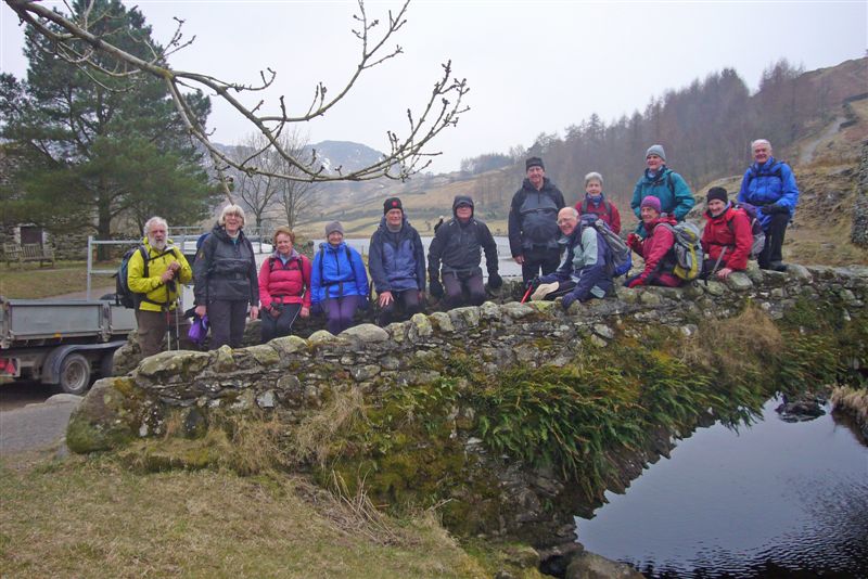
LANCASTER CANAL GLASSON DOCK CANAL TURN
Our lunch stop was at the point where the Glasson branch of the canal heads west to the marina and port of Glasson. How nice it was, after so much rain and cold this winter, to be able to sit there comfortably soaking up the late winter sun.
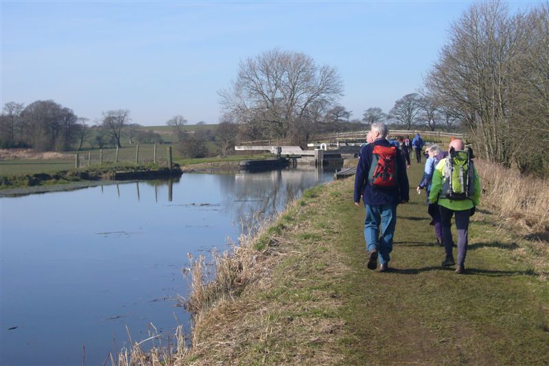
Our route then took us along this branch of the canal, but instead of carrying on along the towpath to the marina, as many of us thought would have been better, the route joined the main road which then took us into Condor Green.
 |
GLASSON CANAL
The next section of the walk went along the old railway track all the way to Lancaster. Again not very interesting walking. Fortunately there were gaps in the hedgerows giving us views over the Lune estuary and as we came into Lancaster there was interest in the renovated buildings along the waterfront. Shades of the past, when both raw cotton and slaves were landed here.
 |
SLAVE TRADE MEMORIAL
The end of stage 1 is at the "Captured Africans' Slave Trade Memorial", where we paused for photos and congratulated ourselves at having made a successful start to our walk as a whole. It wasn't the end of the day though, as we had still to make our way the short distance to the bus station and take the bus back to Garstang.
The website shows the walk as being 15 miles. Our GPS's recorded nearer 16 miles, but with very easy going all the way, this didn't seem to matter.
Stage 2. Lancaster to Arnside
Thursday 7th. March 2013
Rain was falling and visibility poor. Not the sort of morning we were hoping for, as most of our group met in Arnside and walked down to the station to catch the early train to Lancaster. From Lancaster Station, Jaqui took us down through an old part of the City to the "Captured Africans' Slave Trade Memorial", the end of our walk the week before and our start point for the day.
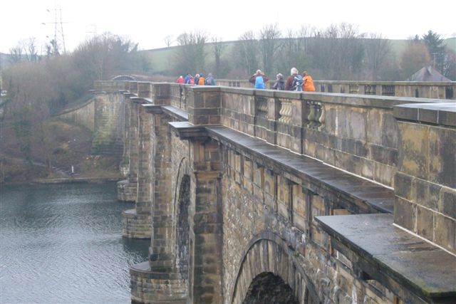 |
LUNE AQUADUCT
The first section of our walk followed the River Lune upstream, mainly along the line of a disused railway, now a path and cycle track. This took us to the very impressive Lune Aqueduct. Built 200 years ago and designed by John Rennie, this feat of civil engineering not only served it's primary purpose of taking the canal, it was also a statement to all and sundry of the prosperity that abounded in Lancaster at that time.
Once up the steps taking us onto the Aqueduct, we crossed it and followed the towpath northwards to Hest Bank, where we left the canal and headed down to the shore. Fortunately by now all traces of rain had disappeared and it kept fine for the rest of the day.
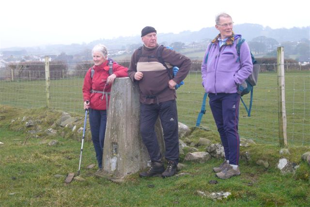 |
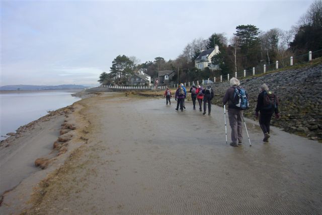
TRIG POINT ABOVE THE SHORE LINE
The section from Hest Bank follows the shore, along the Lancashire Coastal Path and not only is it muddy in places, it also requires careful planning as the path can become impassable at high tide.
After a stop for a bite to eat, we left the coast and passed through the outskirts of Carnforth, from where we took the road which led us into Warton. Here is where the ancestors of George Washington lived and to mark the fact, on the 4th. July each year, the church flies the Stars and Stripes. The grave of Elizabeth and Thomas Washington is in the graveyard against the east wall of the church.
 |
 |
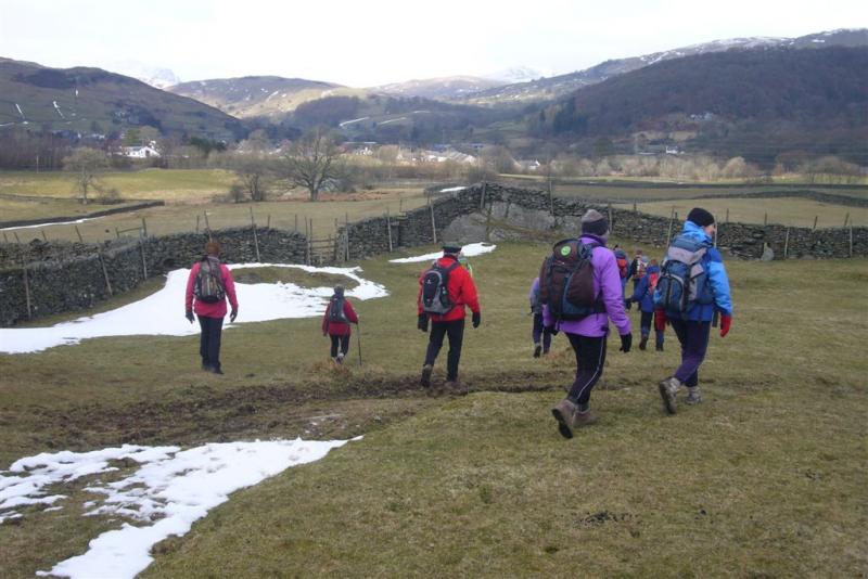
LUNCH STOP ABOVE LEIGHTON HALL SEAT ON ARNSIDE KNOTT
Our next stop was at a lovely viewpoint overlooking the stately looking Leighton Hall. From there we headed downhill past the Hall and along the path through the bird sanctuary at Leighton Moss to the visitor centre. We were now in an excellent walking area, although at times we felt the walk planners could have taken better options in their choice of route. That didn't take away our enjoyment though, as we headed out through Eaves Wood to Arnside Tower and up onto Arnside Knott. Another super viewpoint this. All that was left now was a pleasant walk off the hill and into Arnside and the finish of Stage 2, at the pier.
 |
 |
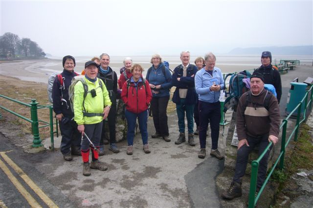
ARNSIDE PIER A WELCOME DRINK
A few of us then retired to take in the delights of the Fighting Cocks, which very nicely rounded off a good day out.
There were 15 on the walk which clocked in at around 17 miles.
Stage 3 - Arnside to Kendal
Thursday 14th. March 2013
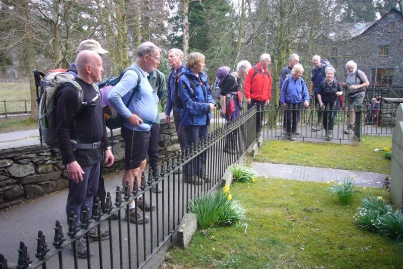
 |
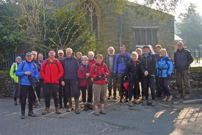
START AT ARNSIDE PIER
 |
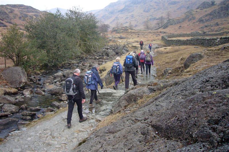
 |
RIVER KENT
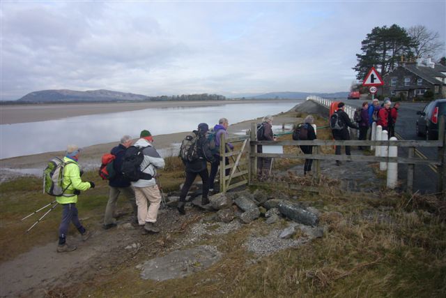
In contrast to the previous stage, todays weather forecast was for a bright start but turning wet later. At least the forecasters had the first part right, as we congregated at Arnside Pier for the start of today's stage. In sunshine and under clear skies we made our way, out of Arnside and over the station footbridge and onto the disused railway track, which follows the coast as far as Storth. Certainly under the conditions, with fine views over the Kent Estuary and Northwards to the Lake District, this is a far better option than going along the narrow road described in the route description.
 |
LEAVING THE COAST AT STORTH
Leaving the coast at Storth, we headed up through the village and onto a woodland path, which took us to a track that led us into Haverbrack. From there we crossed a minor road and into the Deer Park belonging to Dallam Tower. Very fine walking this. Close cropped grass underfoot, fallow deer grazing peacefully to our right, Dallam Tower to our left and views of the snow capped Lakes Hills ahead, what could be better?
 |
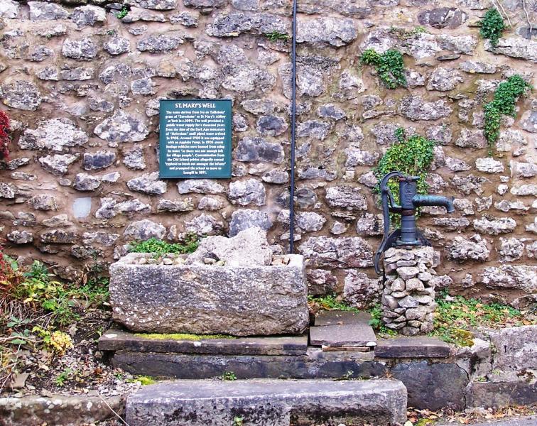 |
HEVERSHAM CHURCH St. MARY'S WELL
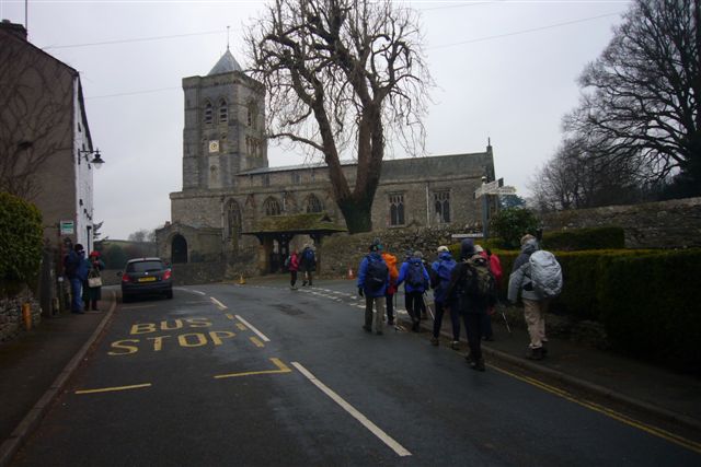
Not being pressed for time on this short stage, we took a break for coffee at the ancient bridge, which crosses the river at the point where we were to leave the Deer Park and enter Milnethorpe. It's only when you're walking through old towns like Milnethorpe, with plaques seemingly on every street corner, do you realise just how much history these places store. Similarly as we made our way a little later through Heversham, we were to ponder the history of the 1000 year old St. Mary's Well, which until piped water arrived in 1908, was the sole water supply for the village.
 |
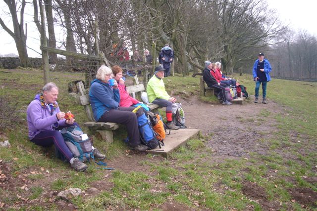
LUNCH STOP
Just North of Heversham we arrived at Leven's Bridge. Turning right, with the ancient Levens Hall behind us, we then entered and made our way through the Deer Park belonging to the hall. It was here we had a leisurely lunch overlooking the River Kent, with a herd of black fallow deer nervously watching us from above.
Once out of the park, we headed back to the River, which we followed for a while, before heading upwards through farmland to the now disused and filled in Kendal Canal. There is a move to re-open this section, but only an optimist could realistically expect this to happen during our lifetimes. Just west of Natland we dropped back to the River, which at this point provides some very interesting scenery, then headed along it's West bank, all the way into Kendal.
By now it was raining steadily, which made us quicken our pace and hasten past the many points of interest Kendal had to offer us. At least they'll be there to ponder over on another day.
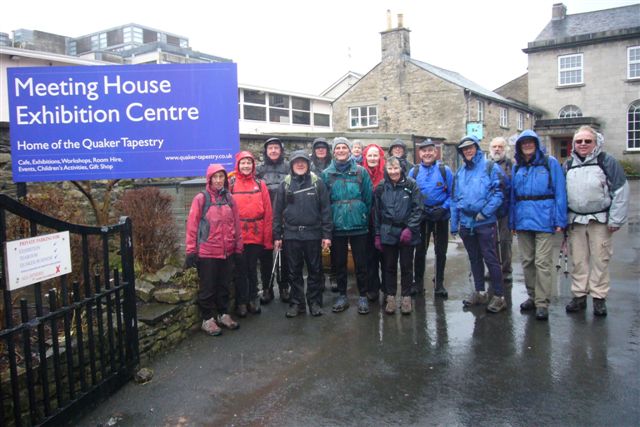 |
QUAKER MEETING HOUSE
All that was left now was to find our finish point for the day at the Quaker's Meeting House, take a few photos, then while away a couple of hours to the time when our bus would to take us back to our cars in Arnside.
This stage at 13 miles is the shortest of the 6 stages on The Fair Trade Way. Nevertheless the scenery for the greater part is excellent and there is a lot of interesting history en route. Very much appreciated by our 16 strong group.
Stage 4 - Kendal to Bowness
Thursday 28th. March 2013
On a point to point walk, it's always better if cars can be parked at the end of the walk, rather than at the start. This way the walk isn't having to be paced to meet a deadline for public transport at the finish. For this reason, today we parked in Bowness, took taxis to Windermere and the bus from Windermere to our starting point in Kendal.
 |
 |
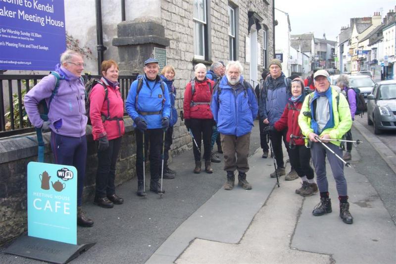
START IN KENDAL THE DOME ON SCOUT SCAR
A cold east wind was blowing as we left the Quaker's Meeting House and headed up hill, west out of Kendal, over the by-pass and up onto Scout Scar. Fine scenery all round, although eyes were more focussed on the Lake District Fells, plastered in snow from a heavy fall a few days earlier. From there we made our way northwards along the ridge, and although it's slightly off route, we detoured slightly to take in the summit cairn on Cunswick Scar. We then headed down hill along a mixture of woodland paths and field paths to Ashes Lane, which we followed, until eventually we had to leave it and branch off into Staveley.
 |
 |
FIELD PATH INTO STAVELEY DALES WAY OUT OF STAVELEY
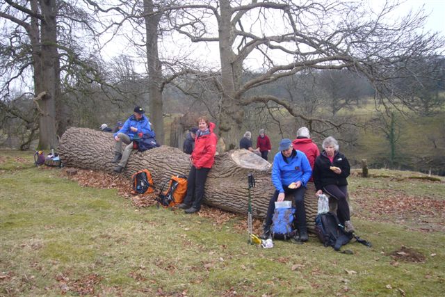
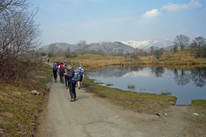
With a huge high pressure system to the North of the British Isles, the weather was very settled and although there was the slight risk of an isolated snow flurry, we knew we were in for a dry day, with a cold east wind, but otherwise a mixture of cloud and sunny spells. Therefore as we headed west, out of Staveley, the wind was now behind us and with the sunny spells becoming longer and more frequent, the temperature seemed to suddenly rise a few degrees. Shortly after joining the Dales Way, we took advantage of the conditions and had a leisurely lunch break alongside a small area of woodland.
 |
 |
SNOW CAPPED LAKE DISTRICT FELLS LOOKING DOWN OVER BOWNESS
AND LAKE WINDERMERE
The whole of the day's walk, apart from maybe the problem of negotiating a large group of walkers out of Kendal, had been excellent. The paths were good, conditions underfoot had been perfect and the scenery as fine as you would get anywhere. And so it continued as we walked, still on the Dales Way, all the way to our finishing point for the day, at the grave of the African slave Rasselas Belfield, in the churchyard of St. Martin's Church in Bowness.
Certainly, under the conditions, a very good stage this and much enjoyed by all 16 on the walk.
Stage 5. Bowness to Grasmere.
Wednesday 10th. April 2013
The first problem this Stage presented us with was, how could we park in Grasmere and Ambleside and find transport to get us to our start point in Bowness? Bus times just weren't convenient. They were also very expensive. In the end we chose to use taxis, which were very efficient and a fraction of the cost of using the bus.
 |
START POINT AT ST. MARTIN's CHURCH, BOWNESS
Starting from St. Martin's Church in Bowness, we headed out of the town and made our way to the Windermere Ferry. Taking this, we crossed the Lake and, keeping off the road where possible, we followed marked paths to Far Sawrey and then on to Near Sawrey. Now very much in the area made famous by once being home to Beatrix Potter, we left the road and headed North. First along bridle paths to one of the author's favourite haunts at Moss Eccles Tarn. and then on to our morning coffee stop overlooking Wise Een Tarn.
 |
ON LATTERBARROW
Duly refreshed, our walk took us through a forested area along a series of bridle paths and paths to the summit of Latterbarrow. Although it was a beautiful Spring day, it was a pity that from this fine viewpoint, the Lake District Fells were somewhat obscured by a hazy mist. Dropping down off Latterbarrow we had a short section of road, before heading through rough farmland to the next feature at Bletham Tarn. Shortly after this our stomachs told us it was time for lunch, which we took on a stoney bank bathed in warm sunshine. By now many of us were wishing we'd been brave enough at the start to have brought our shorts along.
 |
UN-NAMED TARN NEAR HOLMESHEAD FARM
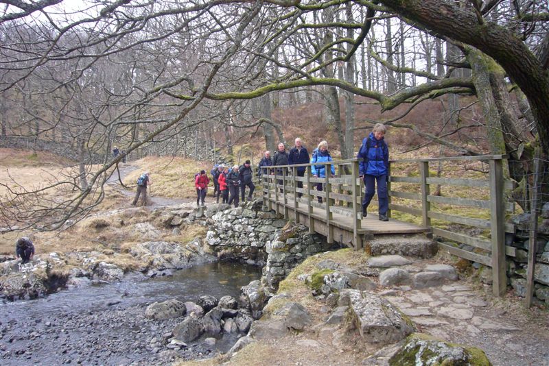
After lunch twisting paths led us through a pleasant section of woodland, past a slate quarry and onto a quiet section of road, which we followed to Skelwith Bridge. It was here we had to find our climbing legs again, to take us steeply uphill towards Loughrigg Tarn and over Loughrigg Fell, before dropping down Fox Ghyll to Pelter Bridge and Rydal.
 |
COFFIN ROUTE ABOVE RYDAL WATER
Turning right in Rydal, our route (or rather our legs) took us steeply uphill past Rydal Church, then pleasantly overlooking Rydal Water along the coffin route to Grasmere. This was arguably the nicest section of a walk that all day had passed through the type of scenery that makes the English Lake District famous world wide.
 |
END OF STAGE 5. WORDSWORTH's GRAVE, GRASMERE
Our walk ended at William Wordsworth's grave, in the grounds of St. Oswald's Church, Grasmere. Another super stage, in lovely weather and much enjoyed by our 21 strong group.
Stage 6. Grasmere to Keswick.
Thursday 11th. April 2013
The day before, on Stage 5, the weather had been glorious all day long. According to the weather forecast it wasn't to be so for today's walk, with cloud cover all day and rain expected later. The question was, how much later? At least as we gathered for our start in Grasmere, in front of St. Oswalds Church, it was still fine. And so it continued as we headed northwards, up into Far Easedale, to a point just below Greenup Edge, where we had our first stop of the day for coffee.
 |
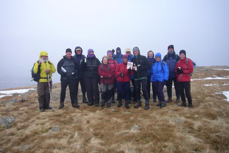 |
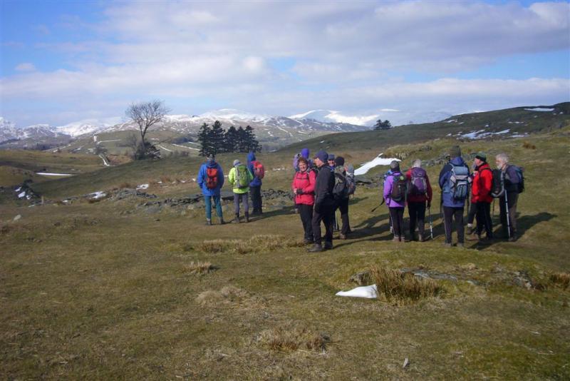
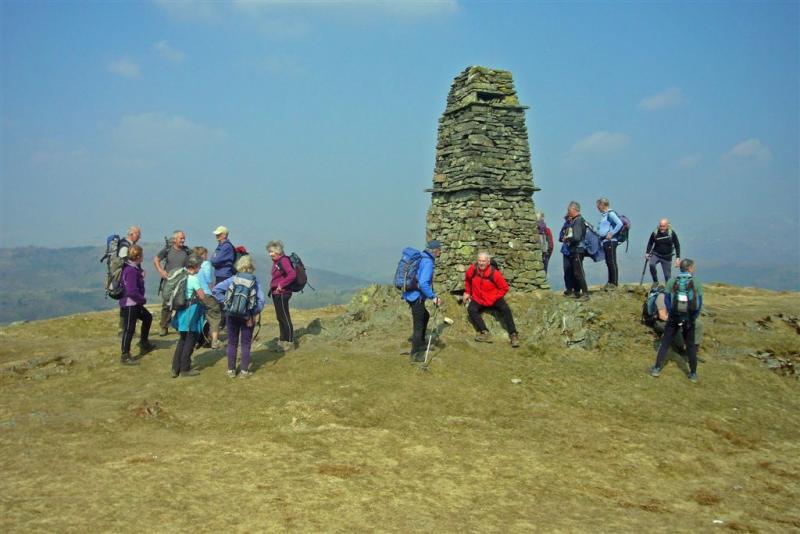
HEADING UP TOWARDS FAR EASEDALE CELEBRATIONS ON ULSCARF
Our way ahead was, in places, made more difficult by snow patches, the aftermath of a heavy snowfall a couple of weeks or so earlier. Nevertheless the path was easy enough to follow and we made it to our highpoint of the whole walk, the summit of Ulscarf, without encountering any problems. It was here on Ulscarf that we joined in a celebration as two of our members celebrated, in one case three completions of 'The Wainwrights' and the other two completions. Amazing how much a nip of the unlikely mixture of brandy and Wainwright beer, raised the level of merriment and chatter. Conditions on top were far from perfect, with a cold wind and a hazy atmosphere, which restricted our views somewhat. But at least the rain was holding off and our climbing legs were given respite as we headed down to our lunch stop, sheltered from the wind, below Standing Crag.
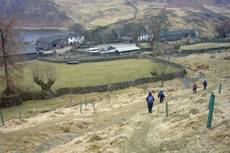 |
 |
DROPPING DOWN INTO WATENDLATH PACKHORSE BRIDGE IN WATENDLATH
The path taking us past Blea Tarn, over Long Moss towards Watendlath, isn't very distinct in places and could require careful navigation in misty conditions. As it was, short/medium range visibility was good and on the day didn't present any problems. On the ridge overlooking Watendlath we converged with another path and as we headed down to Watendlath, we had fine views over both the village and the tarn.
 |
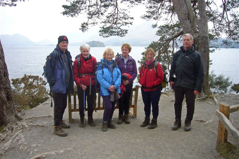 |
CROSSING WATENDLATH BECK FRIAR's CRAG AND DERWENTWATER
In Watendlath some of us went into the little cafe for a brew, while others drained the remnants of their flasks and drink bottles, near the picturesque old packhorse bridge spanning the outlet from the Tarn. On good paths our route followed, then re-crossed Watendlath Beck taking us eventually to Surprise View. As had occured several times over the last couple of days, hazy conditions spoiled our view from here. The same happened again, a little later at the much pictured Ashness Bridge and again as we walked along the shore of Derwentwater to the normally fine viewpoint at Friar's Crag. It was now only a short stroll, past the boat landings and through the busy streets of Keswick to our journey's end at the Moot Hall in Keswick. It now started to rain - we couldn't have timed it better!
 |
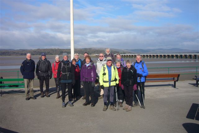
JOURNEY's END. MOOT HALL IN KESWICK
This ends another excellent day on which we walked 14.5 miles, thus completing the last stage of our journey..
Conclusion. The Fair Trade Way is a fine and varied long distance path that goes better as it heads North. We were blessed with good weather, and considering the time of year, good conditions underfoot. For anyone wanting to do the walk, in either a series of day walks or over six consecutive days, there are good public transport links between start and finish points. Beware as you head Northwards, both car parking and bus fares can be very expensive. (What must overseas visitors think of us?). There is also an abundance of accomodation en route. The official route description lacks detail and I would very much recommend it is downloaded onto the 1:25,000 map before starting each leg.
Thanks to all who came along with us and joined in our walk.
CLICK TO SEE MULTIPLE PHOTOGRAPHS FROM STAN BRADSHAW


