


Yorkshire and Back 31.7.22
Sunday 31 July 2022 JOINT WALK WITH EAST LANCS – YORKSHIRE AND BACK
Walk Leader – Neil Harwood
Number on walk – 11
Distance – 22 miles
Weather –miserable dank day in East Lancashire. In the clouds to begin with, but it improved hour by hour and we had full sunshine and blue skies by the end of the day.
It was a very miserable start to the day at Hurstwood. The clouds were low and it did not look like it would change soon. But we started off in good spirits and headed north to the Gorple Road via the Hurstwood Reservoir. The unique landscape around here of “hushings”, remains from searching for limestone, looked vey eerie in the low cloud. We then headed east and after only two and a half miles from the start we reached the border with Yorkshire.
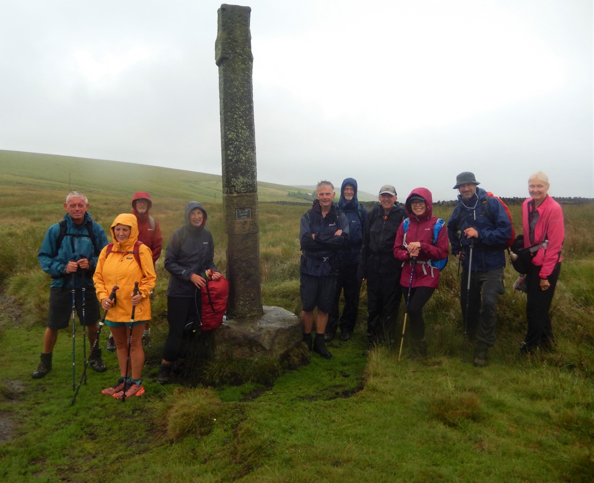
Shortly after this we came off and descended to the Upper Gorple Reservoir. Unfortunately, the grass on this section was long and wet from the nights rain and impossible to avoid as it frequently overhangs the path. And so our soggy start to the day began! The next section up to the disused property called Raistrick Greave was similarly wet with huge ferns in parts so by the time we got to Reaps Cross our boots were full of water. Not a great start – spirits were sagging and the photos from here show this!
But the clouds were beginning to clear and we could now begin to see the views including the Lower Gorple Reservoir just below. From Reaps Cross there is a very short climb up to the trig point on Standing Stone Hill, but I still have not seen the Stone! Down to the Pennine Way, with its welcomed flagged path before we descend into Hebdendale via Clough Head and the National Trust car park for Hardcastle Crags. On to Gibson Mill for caffeine and toilets, but it is too early for lunch.
We follow the river path, now re-open after repairs, up the valley, which is a beautiful section of the walk. It is the better alternative to following the valley on the other side via the Crags, in my opinion. We then begin to climb out of the valley and eventually exit the woods back on to the moors. At 12.30pm we stop for lunch overlooking the valley.
We are only 9 miles in so 13 to go and I am beginning to worry about how long this will take. But we pick up pace with some road sections up to the Widdop Reservoir. We skirt around the reservoir the long way via the Pennine Bridleway and the Burnley Way to give views across the valley. Another road section and back into Lancashire. Shortly after we come off the road and turn NE to follow the good grassy track and then path to the top of Boulsworth Hill and it’s trig point at the point called Lad Law. At 517m high it is one of only seven points above 500m in Lancashire and it gives some of the best views around. And it is now dry and the sun is shinning across Colne and Pendle Hill in the distance. We have a quick rest after the hard climb and then it is a steep descent to the Pennine Bridleway/Bronte Way. We turn left and begin the return back to Hurstwood, six miles or so away.
We leave the PBW in the Thursden valley but continue along the Bronte Way and a lovely section along Thursden Brook. The last but short climb of the day gives us more stunning views as we are now in full sunshine. The last section of the walk is a welcome stroll along a track and then quiet roads to Swinden. One final detour off the road takes us past Lee Green Reservoir into the woods through which Swinden Water flows. We then look out the stepping stones across the stream to follow the path into Worsthorne, a village familiar to many from past LDWA walks. One final section of the Burnley Way takes back into the centre of Hurstwood. It is 5.30pm, so a respectable time of 8.5 hours for a 22 mile walk. I need not have worried after all. Hopefully, that initial wet soggy hour or two is now a distant memory. Time to go and listen to the Lionesses on the radio and then watch them clinch victory in extra time!


