


Cowan Bridge, May 27th
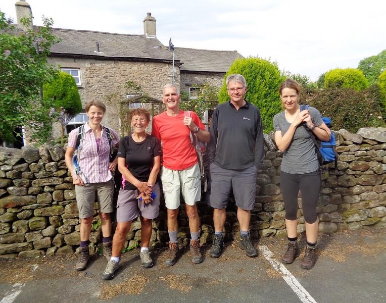
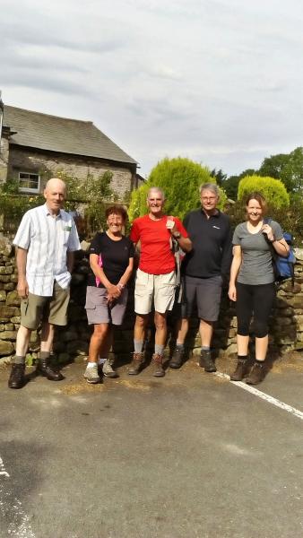
Five from the group waiting for Ishy to arrive Peter, our leader, is on the left
Hopefully the weather forecast would prove wrong for the seven walkers who set off from Cowan Bridge at the start of this walk led by Peter Smith, a new leader for our group but who has led walks for the Pendle Walking Festival previously. Thunderstorms and lightning were forecast for later in the day but it was dry and warm as we passed through Ireby en-route to Masongill from where we began our long ascent of Gragareth, nowadays the highest mountain in Lancashire at 627m. Eventually we reached the trig point and then continued along the ridge to Green Hill, Great Coum, 687m and Crag Hill,682m. The ridge wall forms the boundary between Lancashire and Yorkshire and half a mile after Green Hill Peter pointed out the County Stone which separates the 3 counties of Lancashire, Yorkshire and Cumbria.
The wind was playing up a bit so we dropped down a little and took our lunch by a few rocks. It was a long, off-piste, descent through rough ground and heather bashing before we arrived at the Barbondale Road in not quite the right place that Peter had intended but by now the weather had turned just as forecast and the rains came, the thunder came, and then the lightning followed.A decision was made to continue along the road before turning left on the track to Bullpot farm where we had an afternoon stop, some of us putting more waterproofs on as the rain was pelting it down by now.
After leaving here we followed the path to Ease Gill Kirk and the final few miles of our walk followed Leck Beck to get back to the cars, having dried out somewhat, at 5.15pm and although we missed out the Middleton Fells we still did a quite tough 19 miles.
Doreen
To see the other photos please press Here then click on the first photo followed by clicking on the arrow on the right hand side.


