


TUESDAY SOCIAL WALK
Tue 17th May 2022
Walk Details:
Event Type
Group Walk
Region
Northern England
Local Group
West Lancashire
Distance
13ml.
Start Time
10.00
Route
(13 miles. Start 10.00. Blackburn Road, Wheelton, in the general area of the old police station, which is just up from the Red Lion pub, PR6 8EP is the closest postcode. SD598211. Ample parking on Blackburn Road)
Start and Finish
Entry Details:
Cost
Walk Report
Walk Leader John Clarke Distance 14.2 miles The walk commenced on Blackburn Road in the center of Wheelton village in the area of the old police station. A path was then taken from Blackburn Road through woodland to Copthurst Lane then onto The Leeds to Liverpool canal by the Top Lock public house. The canal which was busy with ducklings and goslings was then followed in the general direction of Blackburn until the village of Withnell Fold was reached. Here the group left the canal and walked through the historic village before crossing the A674 and climbing up Oakmere Avenue where at the top a short coffee break was taken to take in the views across the county to the coast. The group then dropped down along School Lane into Brinscall where the path by the side of the lodge at the rear of the swimming baths was taken. On reaching the point the goit emerges the path by the side of Hatch Brook up through the Brinscall Plantation was taken onto Well Lane. Well Lane was followed onto Withnell Moor and ultimately to the summit of Great Hill. Just before reaching the summit a relatively rare summer visitor to the area was spotted in the form of a male Wheatear. Lunch was taken just off the summit, the then refreshed group took the path across to Round Loaf where a relatively little used path down to Moor Road, Anglezarke was taken. Another relatively lightly used path to the side of Anglezarke Reservoir was taken. The group the travelled through the woods by the side of the reservoir to the Watermans Cottage on Moor Road before climbing over Healey Nab. The group descended from the Nab by the side of Black Brook which was crossed before passing Primrose Cottage. The path to Heapey Road was then taken, this was crossed and a path through fields which passes beneath the embankment of the now disused Chorley to Blackburn railway was taken. This was followed through to Chapel Lane in Heapey, the lane then being followed back down into Wheelton village. Weather on the walk was dry and warm, though quite windy on the more exposed sections on Great Hill.Other Files
GPX
A GPX file of the above route may be downloaded by clicking the link below.
Note: GPX files of Group Walks are created by LDWA Group members, and may be downloaded only by other LDWA members. They should not be made available outside the LDWA, and are used at members' own risk.
Login to Download (Members Only)You can use the interactive controls to zoom in and out and to move around the map, or click on a path or a marker for more info. (interactive map help)
You can use the interactive controls to zoom in and out and to move around the map, or click on a path or a marker for more info. (interactive map help)
Contains Ordnance Survey data © Crown copyright and database right 2016.
© OpenStreetMap contributors under Open Database Licence
Rights of way data from selected Local Authorities
Large scale digital mapping is provided by John Thorn
At high zoom levels the route is indicative only.
© OpenStreetMap contributors under Open Database Licence
Rights of way data from selected Local Authorities
Large scale digital mapping is provided by John Thorn
At high zoom levels the route is indicative only.
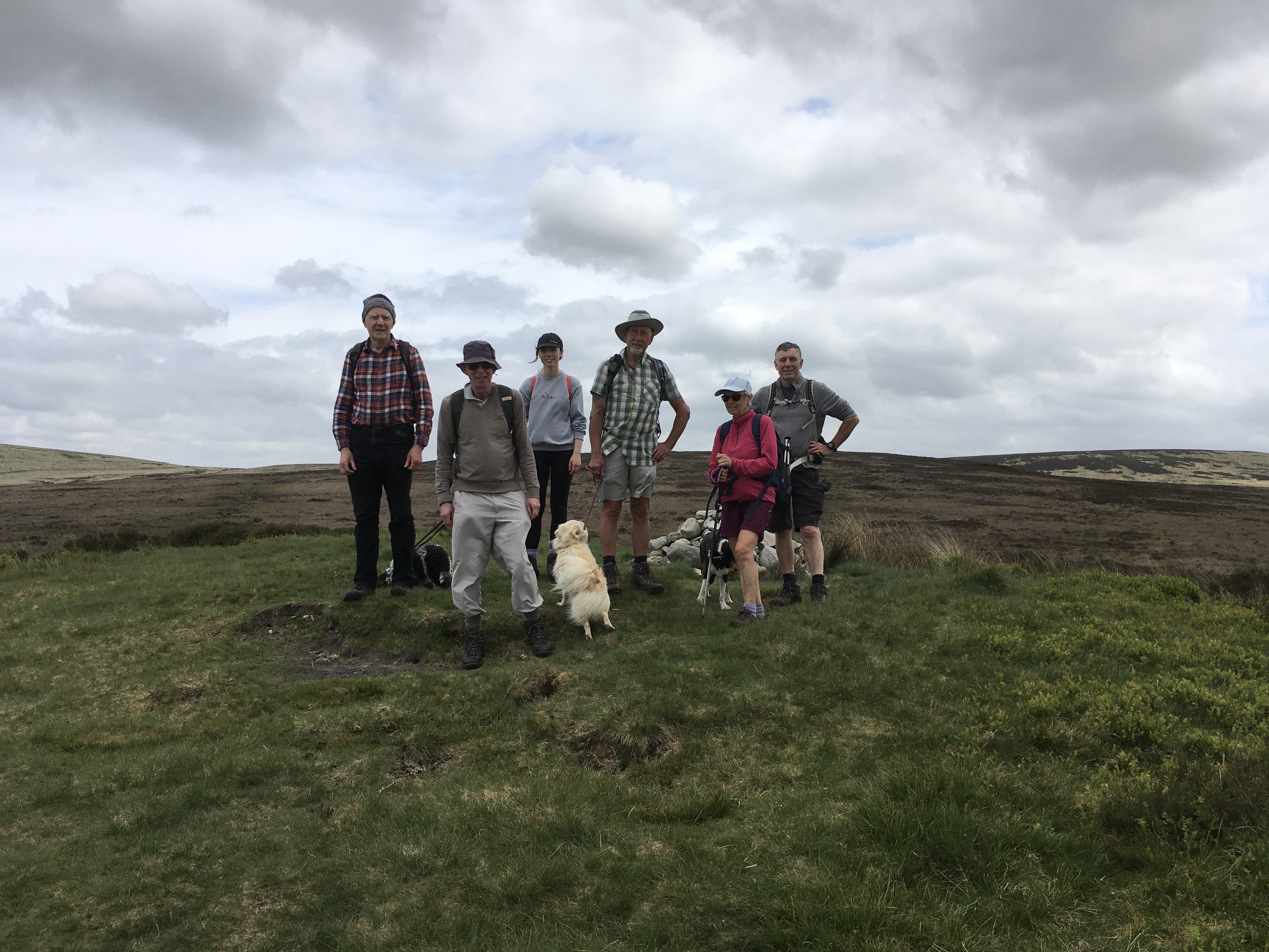
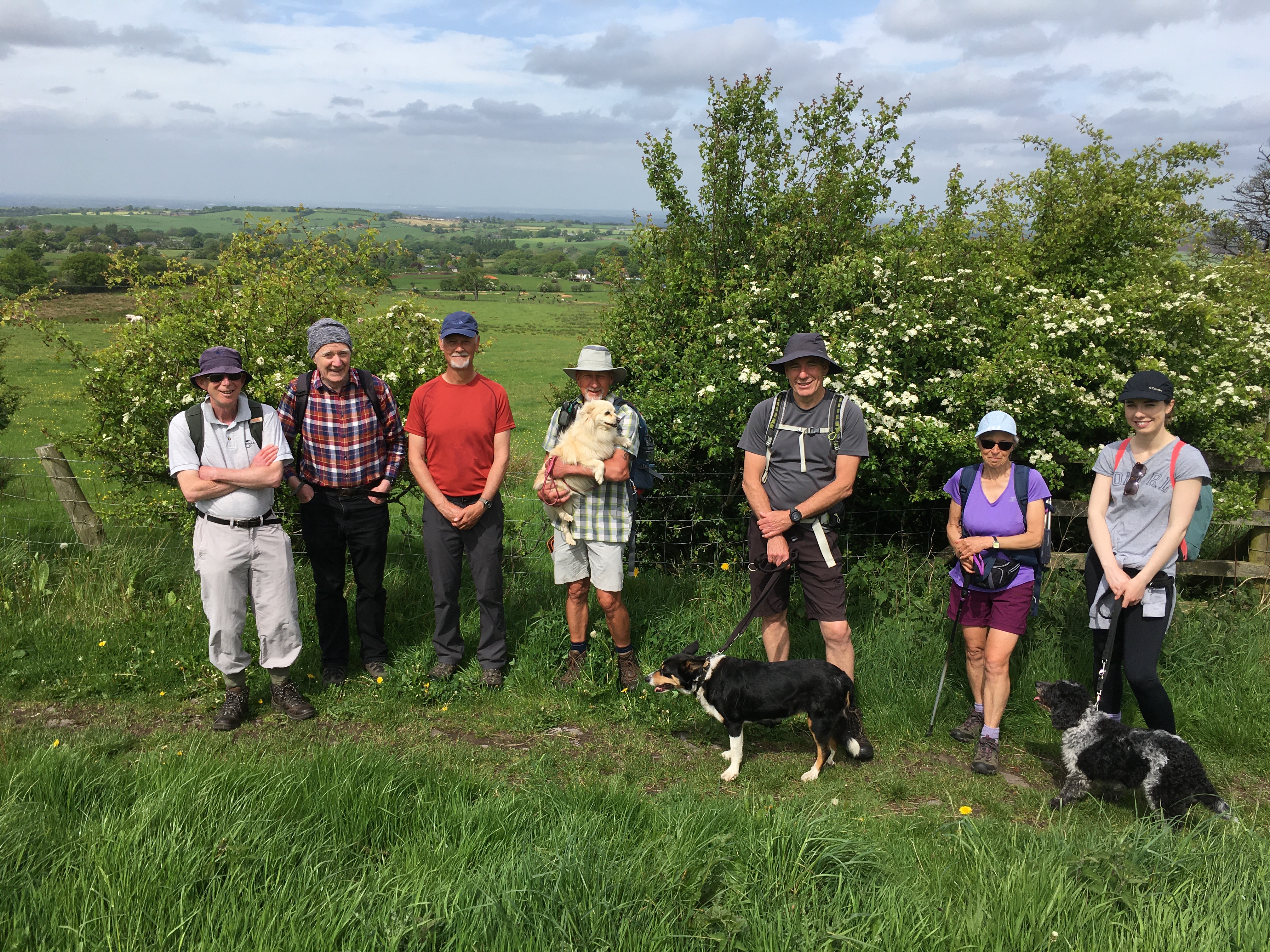
Gallery
Maps:
You can use the interactive controls to zoom in and out and to move around the map, or click on a marker for more info. (interactive map help)
Contains Ordnance Survey data © Crown copyright and database right 2016.
© OpenStreetMap contributors under Open Database Licence.
Rights of way data from selected Local Authorities.
Large scale digital mapping is provided by John Thorn.
© OpenStreetMap contributors under Open Database Licence.
Rights of way data from selected Local Authorities.
Large scale digital mapping is provided by John Thorn.


