


Hebden
Sat 8th Apr 2023
Walk Details:
Via disused mines to Grassington, Burnsall, Skyreholme, Trollers Gill and Grimwith Reservoir
Entry Details:
Walk Report
NOTE THIS IS FOR DEMONSTRATION PURPOSES FOR THE NORTH YORKSHIRE GROUP'S COMMITTEE.Walk Report: A walk report can be added here - either as free format text or an uploaded file (docx, pdf or txt).
GPX track: If a GPX track is uploaded it should be an accurate record of the route actually taken, and that the public has a right to be there and that this right is given by rights of way, by open access land, or by permission (of a long-standing or statutory nature). As can be seen the GPX file automatically shows up as a "zoomable" map of the route. Only LDWA members can download the GPX file.
Photos: These can be uploaded separately or they could already be in the website "gallery" (which is where photos were originally loaded in order to present them as part of the walk reports that we used to publish).
Other Files
GPX
A GPX file of the above route may be downloaded by clicking the link below.
Note: GPX files of Group Walks are created by LDWA Group members, and may be downloaded only by other LDWA members. They should not be made available outside the LDWA, and are used at members' own risk.
Login to Download (Members Only)You can use the interactive controls to zoom in and out and to move around the map, or click on a path or a marker for more info. (interactive map help)
You can use the interactive controls to zoom in and out and to move around the map, or click on a path or a marker for more info. (interactive map help)
© OpenStreetMap contributors under Open Database Licence
Rights of way data from selected Local Authorities
Large scale digital mapping is provided by John Thorn
At high zoom levels the route is indicative only.
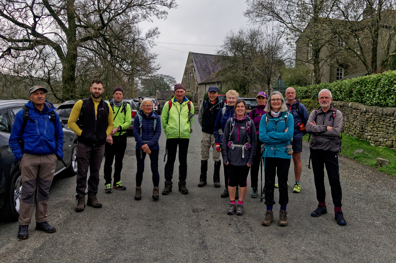
Gallery
Maps:
You can use the interactive controls to zoom in and out and to move around the map, or click on a marker for more info. (interactive map help)
© OpenStreetMap contributors under Open Database Licence.
Rights of way data from selected Local Authorities.
Large scale digital mapping is provided by John Thorn.


