


SSW6 Stratford to Liverpool Street
Wed 29th Jun 2022
Walk Details:
Event Type
Group Walk
Region / Area
Southern England / London
Local Group
London
Distance
6ml.
Start Time
18:00
Route
Stratford Underground Station - Westfield exit, on Montfichet Road
Route: Across Victoria Park to Bethnal Green, on through Weavers Fields, along Brick Lane and into Spitalfields, finishing at Liverpool St station
Web Site
Start
Finish
Entry Details:
Cost
Walk Report
SSW6: Stratford to Liverpool Street, Wednesday 29th June 20226 walkers, 6.5 miles - leader Pete Colley
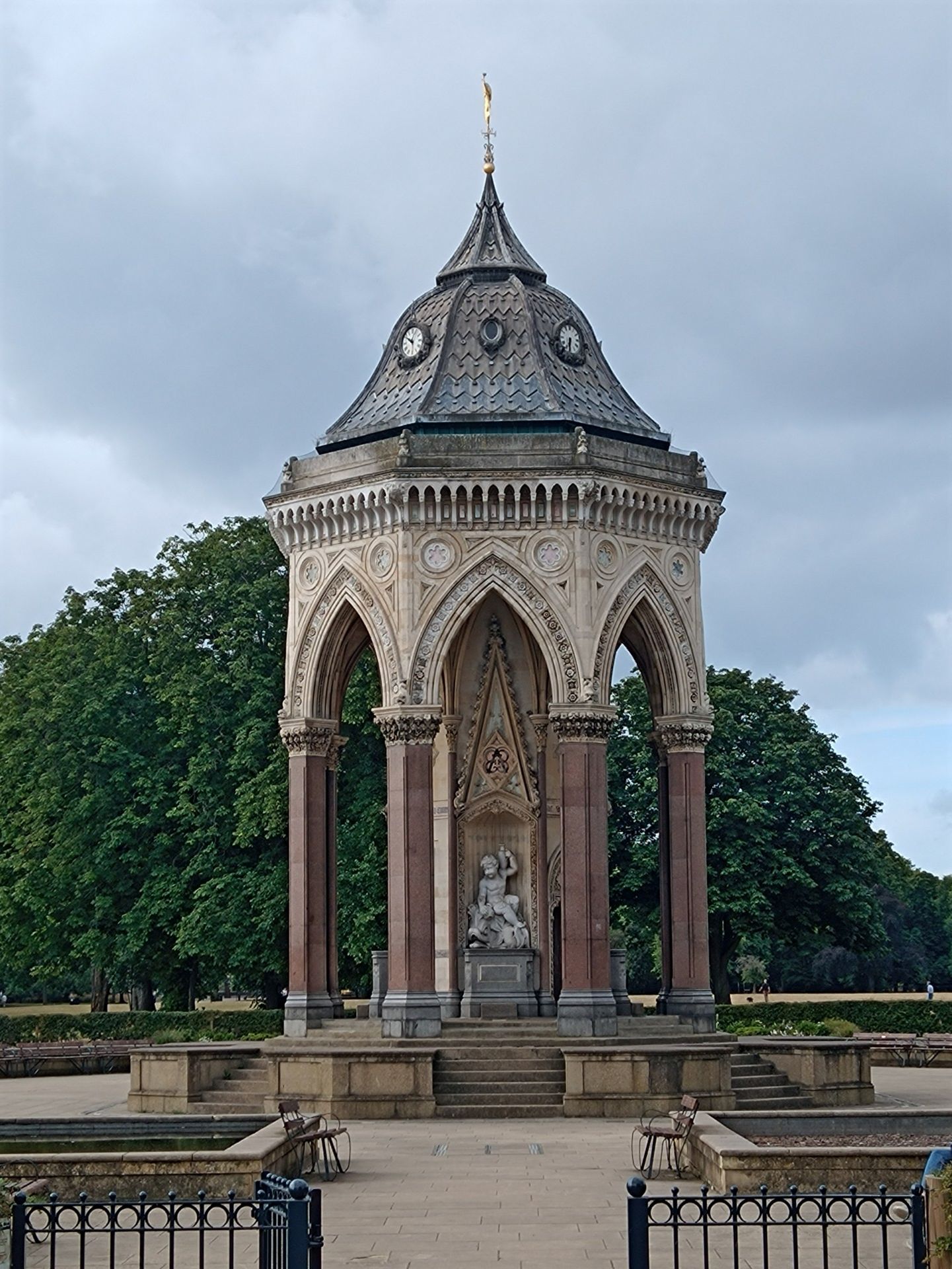
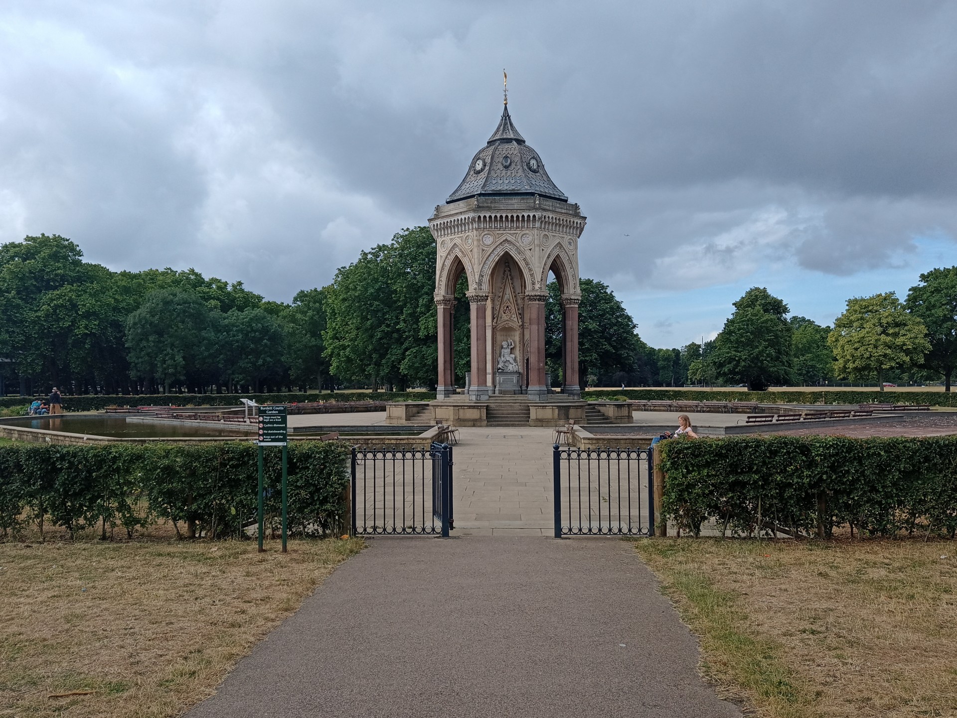
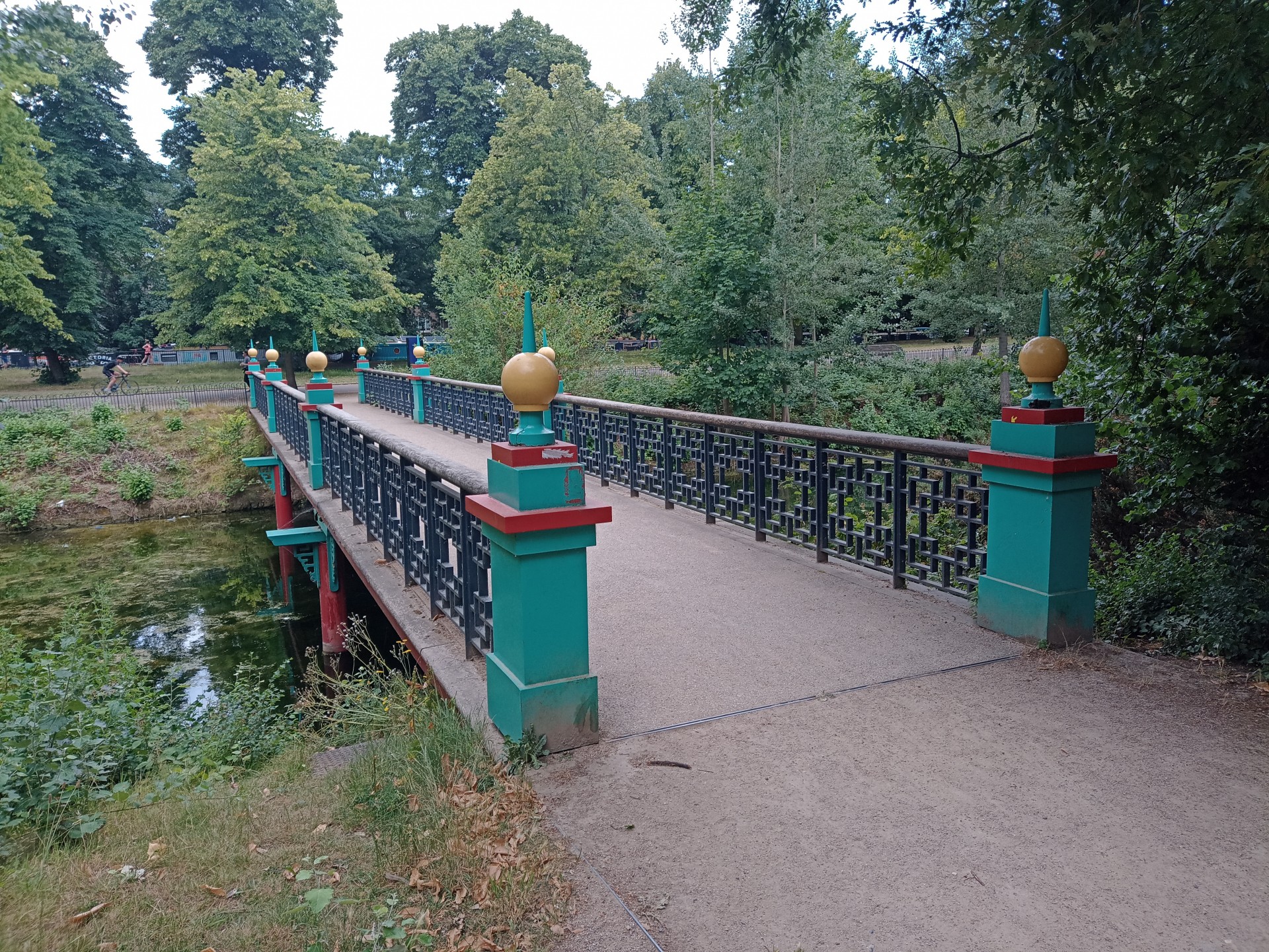
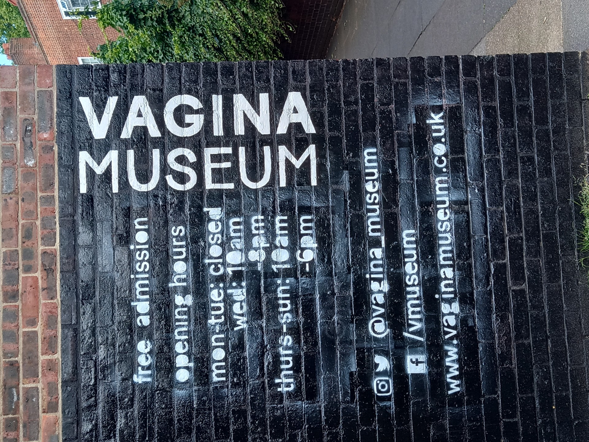
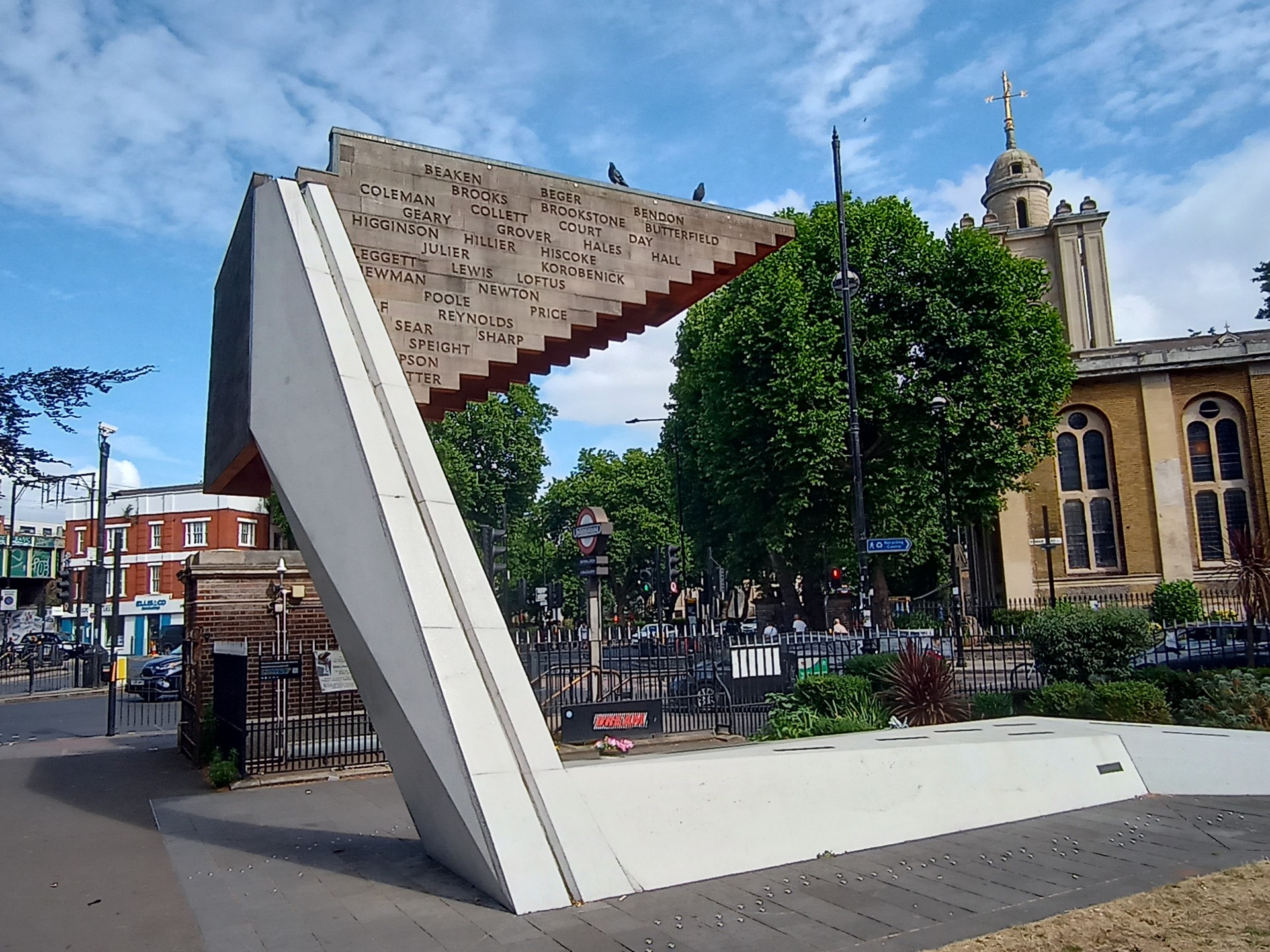
Another route out of the Olympic Park and into Victoria Park, passing its Boating Lake, English Garden, the Burdett-Coutts Drinking Fountain and the Chinese Pagoda on our way through. The magnificent London Chest Hospital was hidden behind hoardings as another landmark is converted into flats - on past the Vagina Museum to Bethnal Green and the Stairway to Heaven memorial to the 173 people who lost their lives in a tube station fire during an air raid in 1943.
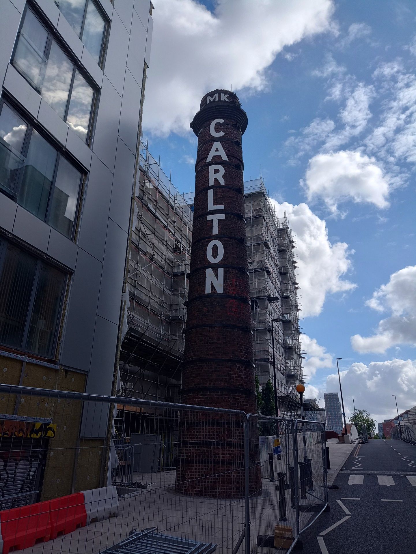
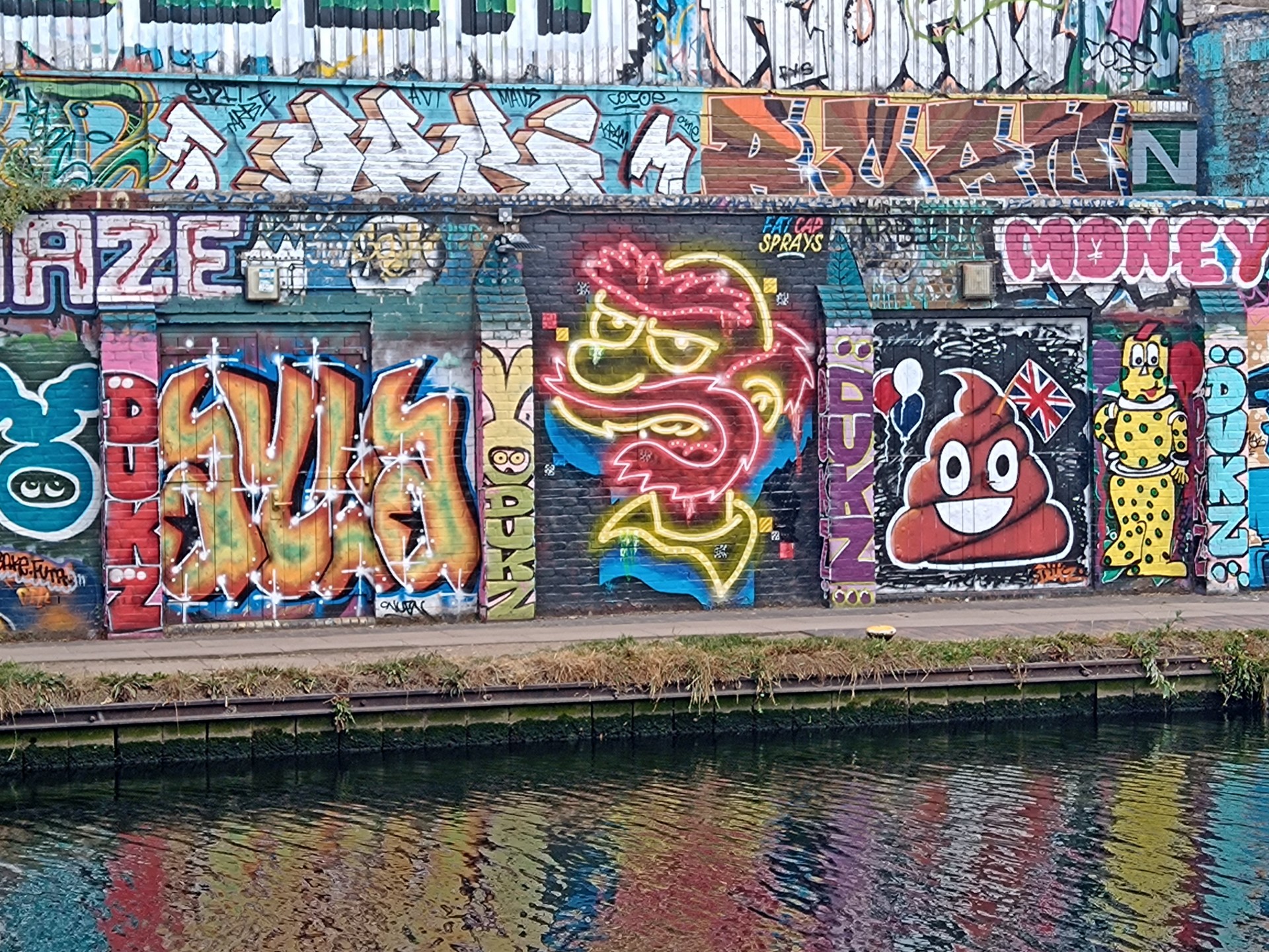
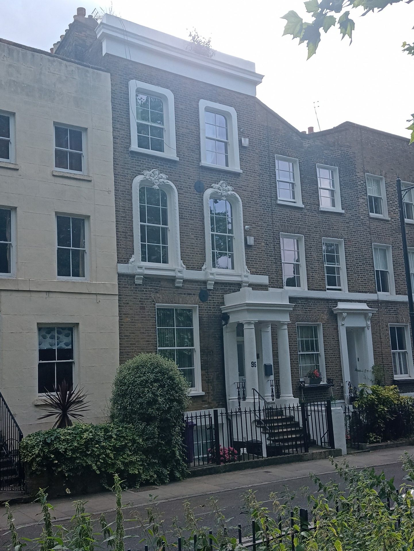
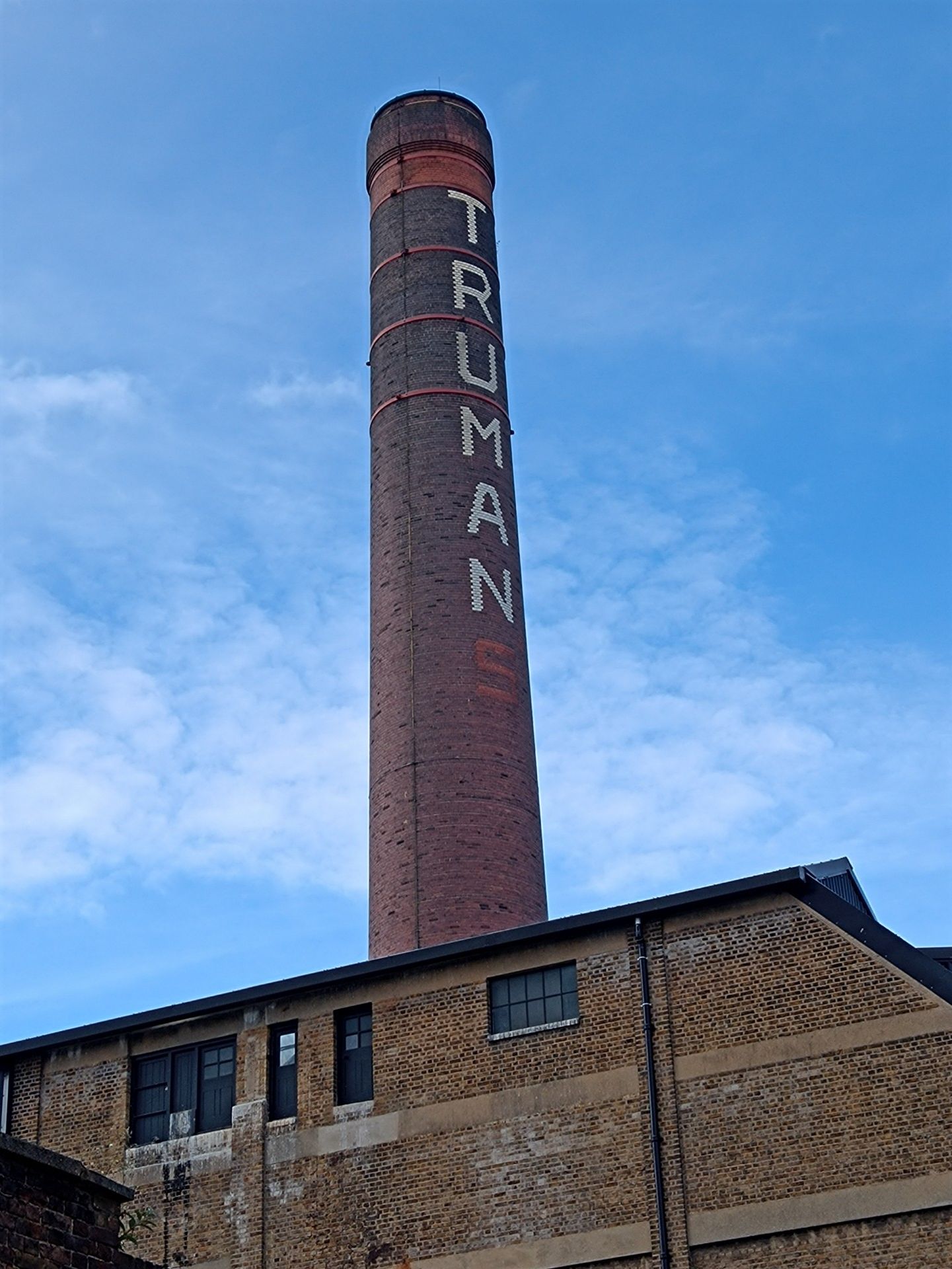
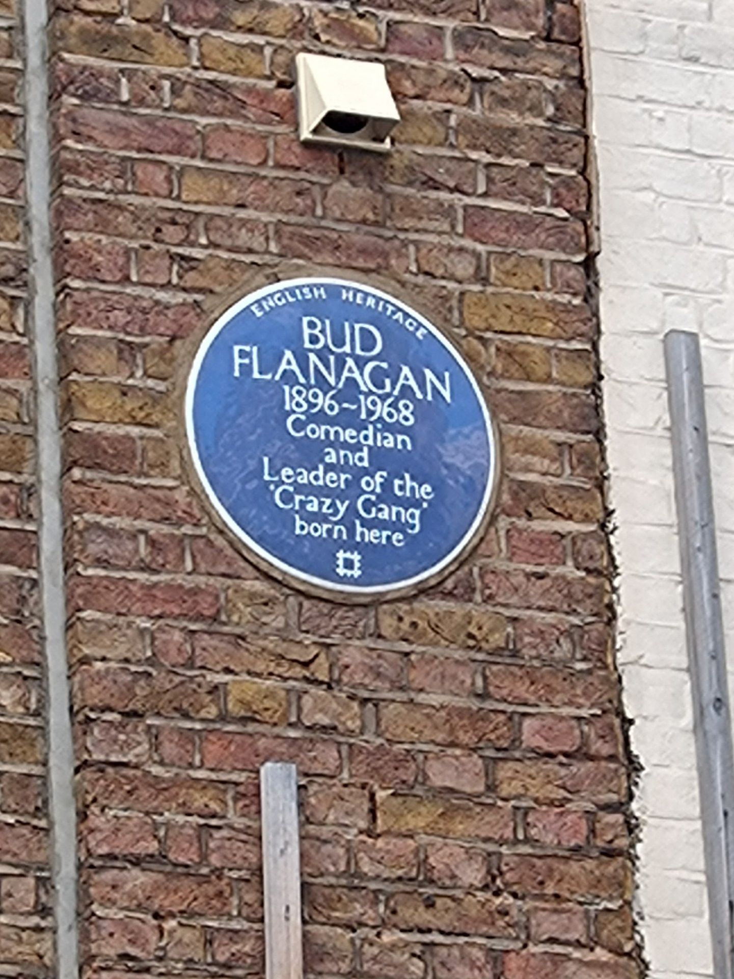
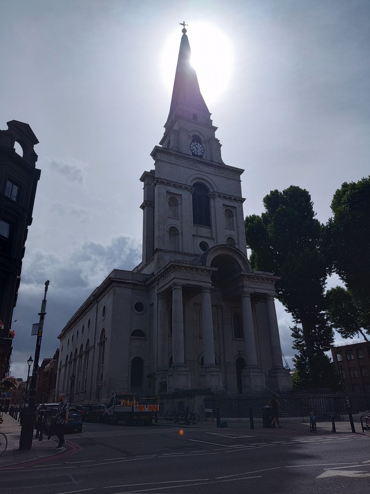
Through Bethnal Green Gardens and on to Weavers Fields, into Kray territory - Vallance Road (their home), St Matthew's Church (their funerals) and the Carpenters' Arms (their mother's pub) - and over the railway lines into Allen Gardens where the smell of spray paint revealed a large number of street artists at work. A brief wriggle around the streets of Brick Lane, taking the liberty to pass the Norton Folgate Almshouses and the dominant Hawksmoor-designed Christ Church before crossing into Spitalfields Market, past the elephants (the Herd of Hope) in Spital and Bishops Squares, to reach our destination among the drinking classes of Liverpool Street.
As always, a big thank you to those who joined the walk. Looking forward to seeing you (and others) on the next instalment.
Photographs by Pete Colley
Other Files
Download Walk ReportGallery
Maps:
You can use the interactive controls to zoom in and out and to move around the map, or click on a marker for more info. (interactive map help)
Contains Ordnance Survey data © Crown copyright and database right 2016.
© OpenStreetMap contributors under Open Database Licence.
Rights of way data from selected Local Authorities.
Large scale digital mapping is provided by John Thorn.
© OpenStreetMap contributors under Open Database Licence.
Rights of way data from selected Local Authorities.
Large scale digital mapping is provided by John Thorn.


