


24th Founders' Challenge, 2021
Welcome to the 24th Founders’ Challenge walk
Anytime Event running from July 3 to October 3 2021 - 19 and 30 mile options
Welcome to the 2021 edition of the Founders' Challenge and for the first time a joint “Town and Country” certificate is being issued for 2021 if both the Capital and Founders' Challenges are completed. Like the rest the world nothing is exactly the same, and life looks a bit different, so will the Founders' Challenge for this year, to suit the situation we find ourselves in. Whether you are staycationing this year, down south from the North, or the Founders' Challenge is a event you normally do, or you live locally and would like to do it for the first time, the London LDWA group welcomes you to a unique opportunity to walk in the Surrey Hills, following the Founders' Challenge route that was introduced in 2019, self-supported allowing for maximum safety to all walkers entering this anytime event, between the dates of 3 July and 3 October 2021.
As normal there will be two routes available, a 19 mile route and a 30 mile one. As both routes are circular and as people are doing it at different times to suit themselves, the main start will be at Guildford, but there are various car parks on or just off the route you can use, so for one year only, you can start at any point along either of the routes as long as you end where you started.
For this reason if you are starting anywhere else than the Guildford start, it is essential you download the GPX file so you can find your way onto the route, depending on where you're starting from. Route descriptions and GPX files are located on this page for both routes (see below). Guaranteeing the event this year happens we went down the anytime event avenue which seemed to be the safest route, so we are only charging £5, which is non-refundable. Please note that for this year only the event is open solely to members of the LDWA. After admin costs, all fees will go towards supporting our great organisation locally and nationally, so if you walk it please support the organisation by paying the entry fee, and you will receive an E-certificate in due course of completion, to mark your achievement.
London is also offering a double certificate called the “Town and Country” if you have completed both the Capital Challenge and the Founders' Challenge anytime events in 2021. All communication concerning the Founders' should be directed to Chris Blackwell at chris.founders.chanllenge@gmail.com
REACHING START INSTRUCTIONS:
For the Guildford start, if you are using your own means of transport the suggested start point is St. Catherine's Lock 's and the P&R car park at Artington, Old Portsmouth Road, Guildford GU3 1LP, is the nearest car park, and is about 5 to 10 minutes walk from the car park. For people travelling down on public transport, Guildford station in the west joining the route at the wooden bridge at Ferry Lane or Box Hill station in east taking NDW up to Ranmore common, both with half an hour walking to join onto route.
FROM PARK & RIDE CAR PARK: (There is a 2m clearance bar at entrance be aware)
* Please note this car park is intended for the use of getting a bus to Guildford; with these terms in mind, drivers concerned about that term of use could consider buying a ticket at the machine located in front of the brick building by the bus stop
From the car park entrance work yourself back to the roundabout on main road, carefully cross the road via traffic island and turn right and ahead on the pavement for 250m. Just after the bus shelter, cross back over the road carefully toward the metal barrier gate, ahead on gravel track pass the barrier, continue under the railway bridge to reach St. Catherine’s Lock. You are now on the route.
FROM GUILDFORD STATION TO FERRY LANE:
From the main entrance, bear right to use foot underpass to cross the road, bear right up slope, continue ahead, bear left, keep left down to the steps. Turn right under road and continue ahead with river on left and car park on right. Ahead on tarmac road, between “The white house PH” and St. Nicolas church. Through the car park. THE RIVER PATH IS CLOSED FOR THE NEXT FEW YEARS NEAR GUILDFORD. So head for the far right corner of car park and turn up “Porridge Pot Alley”, at the end at the post bear left on the pavement passing a health centre on left. When the road bends right, ahead on enclosed footpath “St. Catherine’s Footpath” to end, at the post and the main road “Old Portsmouth Road” turn left and stay on left hand pavement for 500m to “Ferry Lane” and North Downs Way sign post after the “Ye Olde Ship Inn”. Turn left down Ferry Lane TAKE A NOTE OF THE YOUR START TIME NOW start using route description or GPX File.
As the UK unlocks itself and restrictions are being lifted, as organiser can I ask all who sign up to this event, please observe any government guidelines and rules in force over this period, and you take any steps required for your situation getting to, or on the route itself, and afterwards.
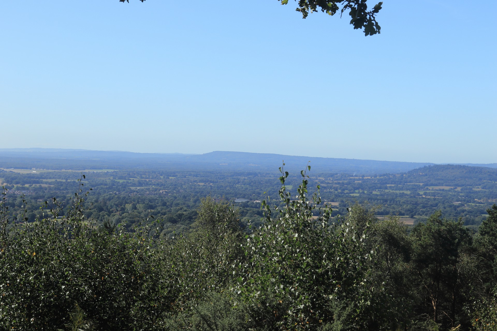
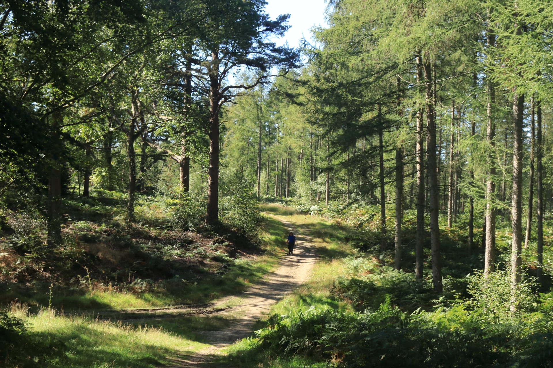
Walkers should carry hand sanitiser & a mask on the walk. The route is largely in the beautiful wooded area of the Surrey Hills. Both routes go through Peaslake which has a small village store and Shere which has a small number of shops, so masks will be required if topping up on supplies of food and water. Please carry enough water and food for the full route.
When you walk the route, as this event runs for three months, if you encounter a problem on route please report the issue to the organiser chris.founders.challenge@gmail.com so an update can be added to the website to warn people or the problem can be solved, to help any walkers who follow you on another day.
People planning to do the 30 mile route ideally should start by 8:30am but the 19 milers you've got a bit more time to play with.
ENTERING THE EVENT
Entry is through https://www.sientries.co.uk/event.php?event_id=8489
It will open Saturday 19th June 2021 and will remain open until mid-night on 2nd October 2021
ROUTE DESCRIPTIONS AND DOWNLOADABLE GPX FILES
Entrants are expected to download and carry one or both formats; route descriptions will not be provided at the start.
The current route descriptions and GPX files are available below:
30m Founders route description
19m Founders route description
LOGGING YOUR TIME
Please log into your entry for this event on WWW.sientries.co.uk and fill in the required boxes including your times and start location. Once done, a e-certificate will be emailed to you in due course.
CAR PARKS AND ADDITIONAL START POINTS:
Blackheath car park Par. 3 (both routes)
Hurtwood car park Par. 7 (both routes)
Peaslake car park Par. 9 (both routes)
Friday Street car park Par. 11 (30-mile route only)
Ranmore Common NT Par. 13 (30-mile route only)
Shere car park CP3 (both routes)
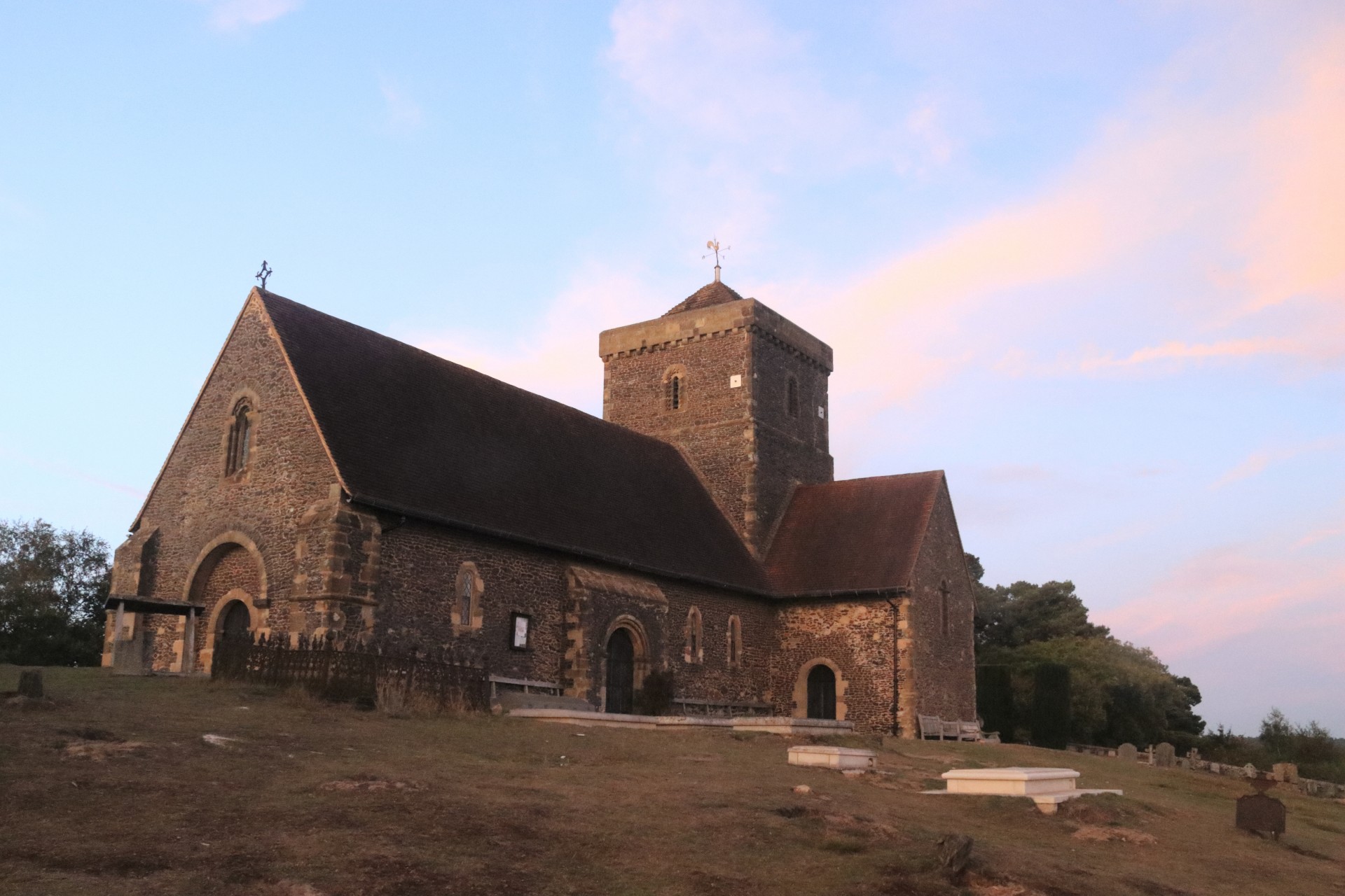
St Martha’s church Par. 12 (19-mile route), Par. 22 (30-mile route)
SUPPLIES
Peaslake - village store (small) and water tap outside “The Hurtwood Inn
Shere – Public toilet, general store,
St. Martha’s Church – water tap on south side of church
MAPS
OS Landranger 187 & LR 186 (for approximately 3 miles of long route not on 187) or Explorer 145 & 146. You may obtain a single OS Select sheet at 1:25k centred on GR TQ093471 from www.ordnancesurvey.co.uk/leisure which covers the entire route.


