


Summer Afternoon and Evening Saunter Canal and Reservoirs
Wed 1st Jun 2022
Walk Details:
This is a walk in two parts, you can do either or both.
Part 1 includes the Walthamstow wetlands which close at 5pm.
Part 2 is a linear finishing at Stratford
Entry Details:
Walk Report
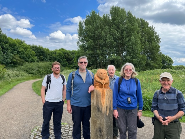
Summer Afternoon & Evening Saunter Canals and Reservoirs6 / 7 Walkers 11.9 miles - leader Lonica Vanclay
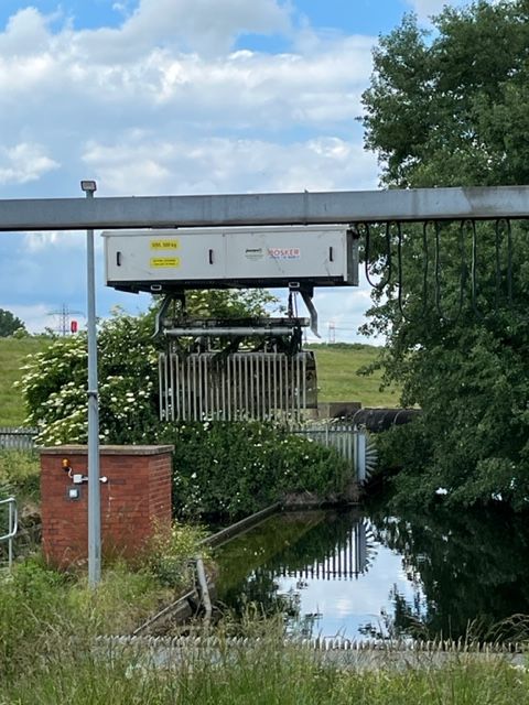
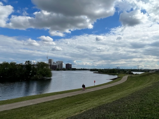
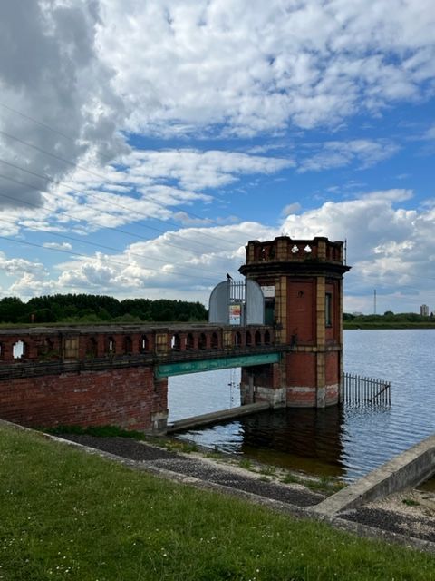
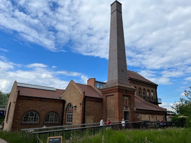
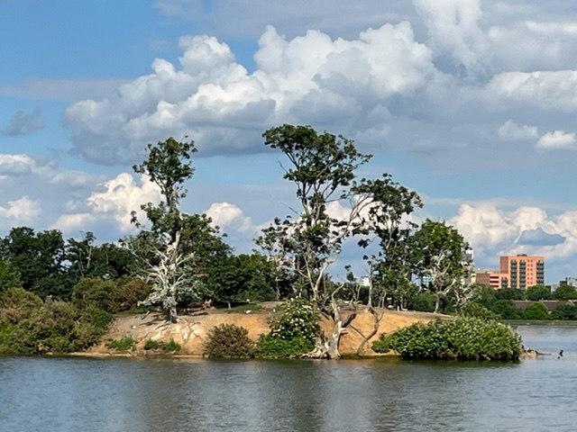
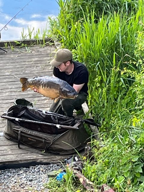
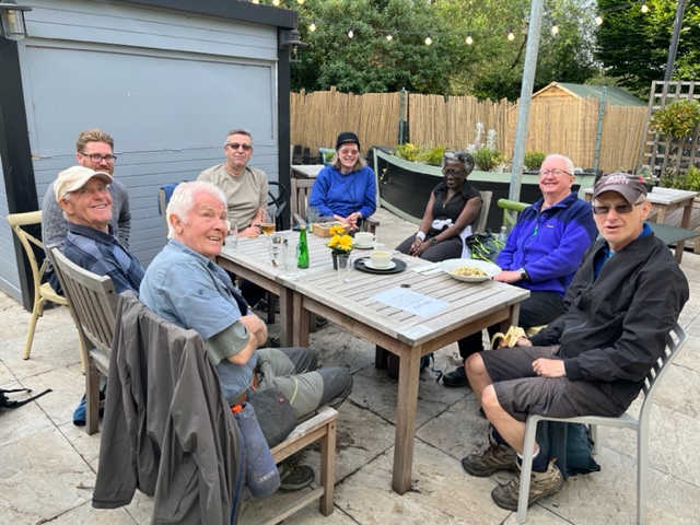
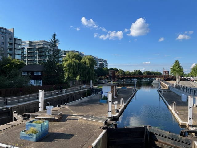
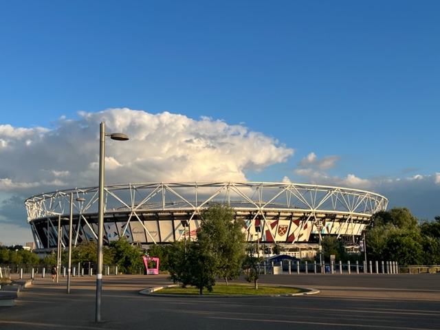
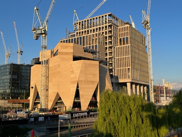
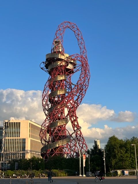
6 of us in total went north from Tottenham Hale then south along the canal and into Walthamstow Marshes and Reservoirs, getting out just before the gates closed at 5pm. The sun shone, the birds chirped and it all looked very green and verdant and un-London like! We even saw a 27 lb 10 oz fish which had just been caught by a fisherman before he threw it back in the reservoir. Dave joined us for a welcome drink at the Ferry Boat Inn and John joined us too, making it 7 for the second part along the canal, through Springfield Park with a great open air photo exhibition of people taken during lockdown. Then more canal and River Lea and Olympic Park back to Stratford. 11.9 miles in total!
Photographs by Barry Arnold
Other Files
Download Walk ReportGPX
A GPX file of the above route may be downloaded by clicking the link below.
Note: GPX files of Group Walks are created by LDWA Group members, and may be downloaded only by other LDWA members. They should not be made available outside the LDWA, and are used at members' own risk.
Login to Download (Members Only)You can use the interactive controls to zoom in and out and to move around the map, or click on a path or a marker for more info. (interactive map help)
You can use the interactive controls to zoom in and out and to move around the map, or click on a path or a marker for more info. (interactive map help)
© OpenStreetMap contributors under Open Database Licence
Rights of way data from selected Local Authorities
Large scale digital mapping is provided by John Thorn
At high zoom levels the route is indicative only.
Gallery
Maps:
You can use the interactive controls to zoom in and out and to move around the map, or click on a marker for more info. (interactive map help)
© OpenStreetMap contributors under Open Database Licence.
Rights of way data from selected Local Authorities.
Large scale digital mapping is provided by John Thorn.


