


Some mud, no doubt!
Sun 20th Feb 2022
Walk Details:
Forest, fields, canal and reservoirs. Some mud no doubt!
Entry Details:
Walk Report
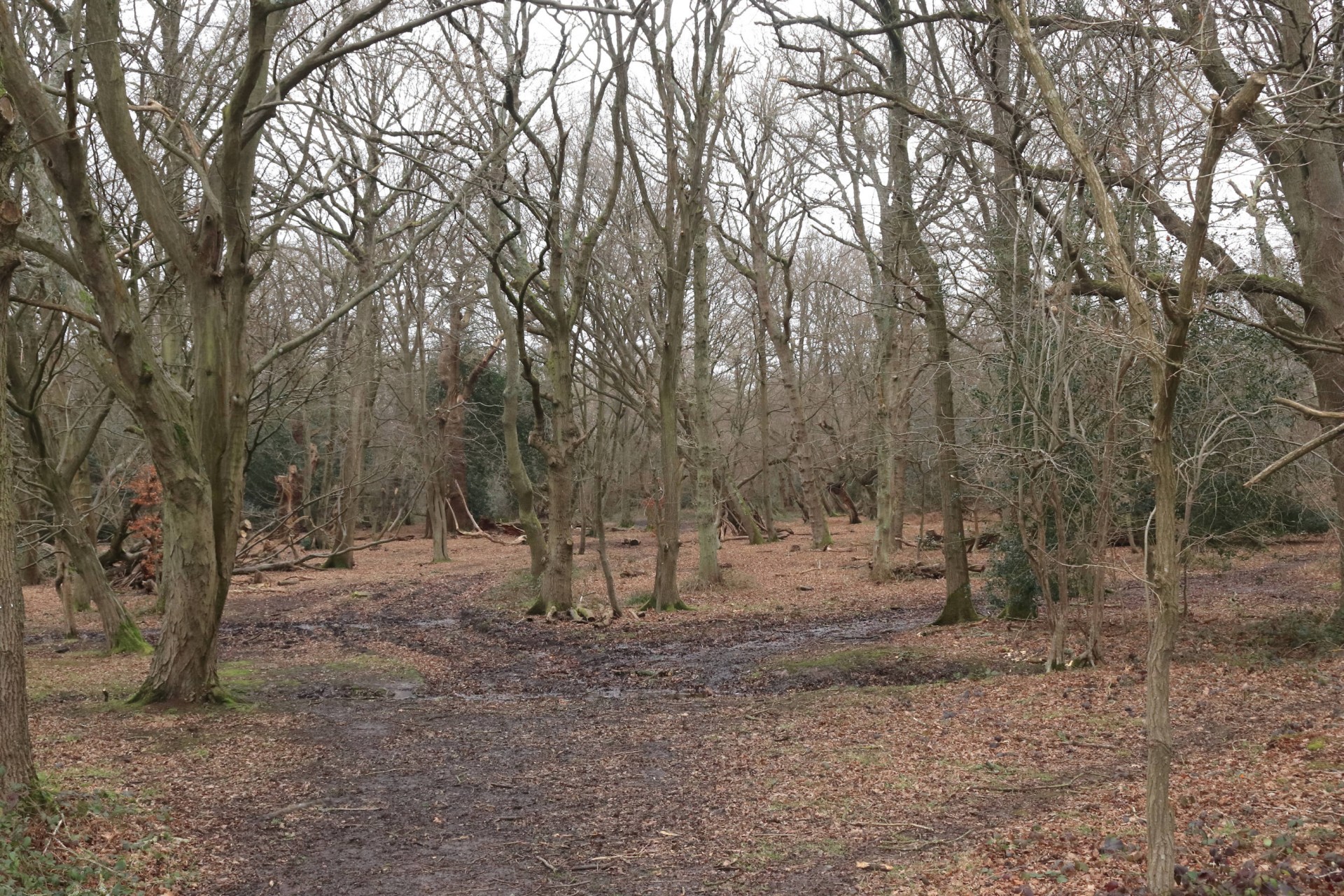
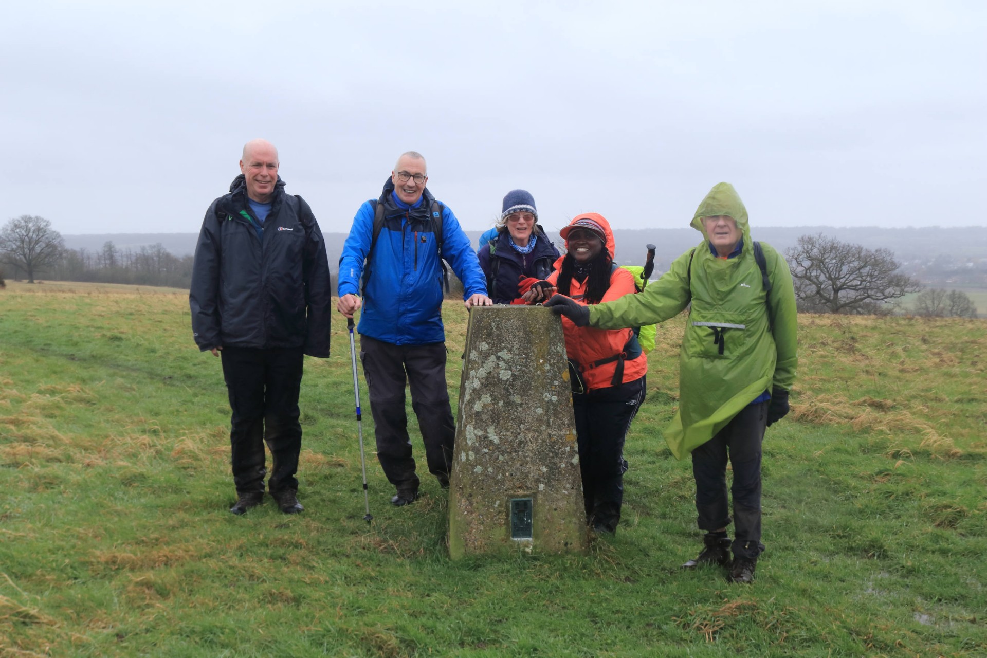
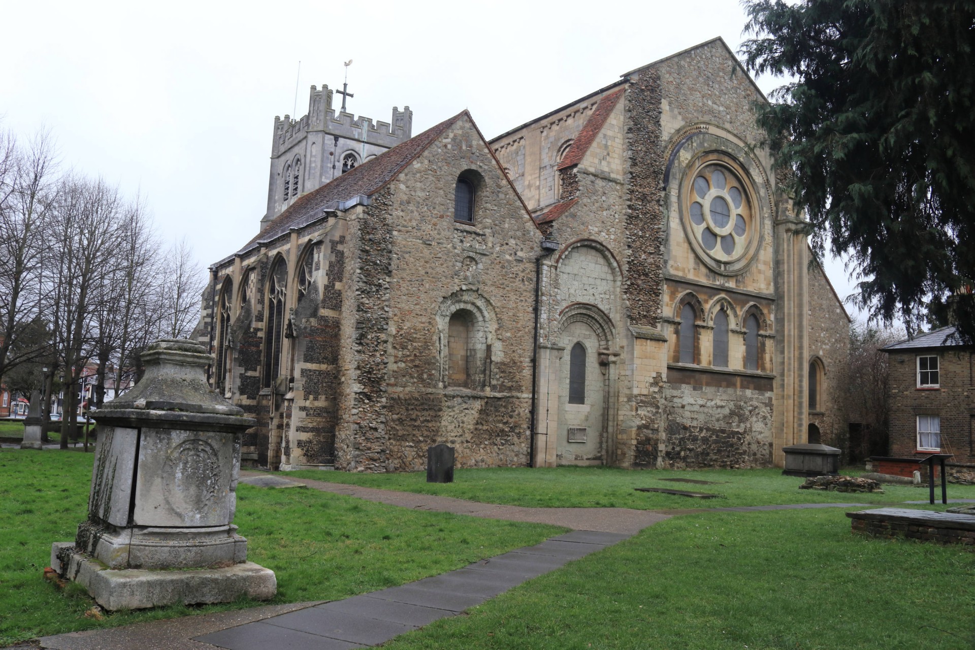
Some Mud, No Doubt!6 walkers, 17.2 miles. Leader Lonica Vanclay
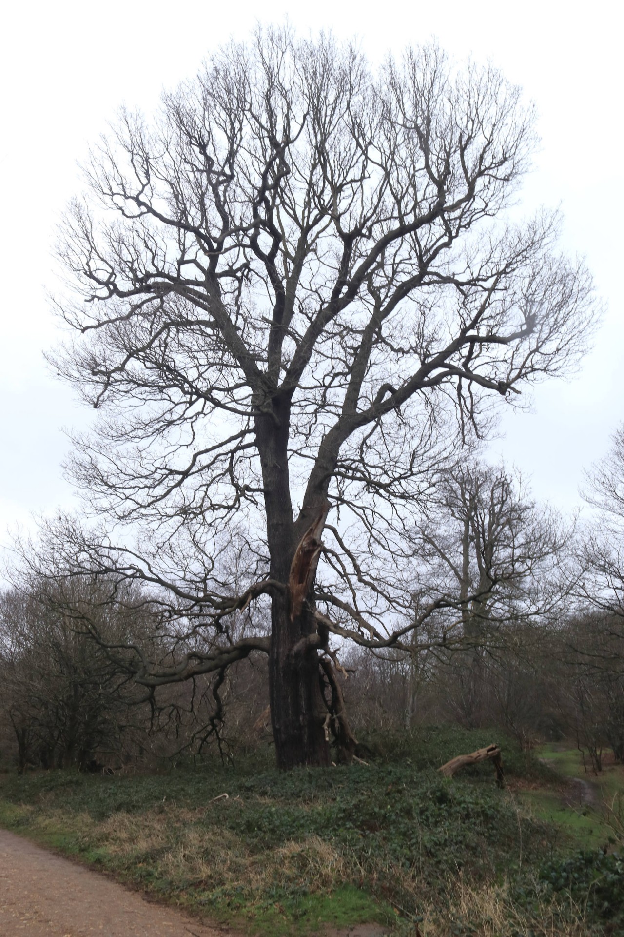
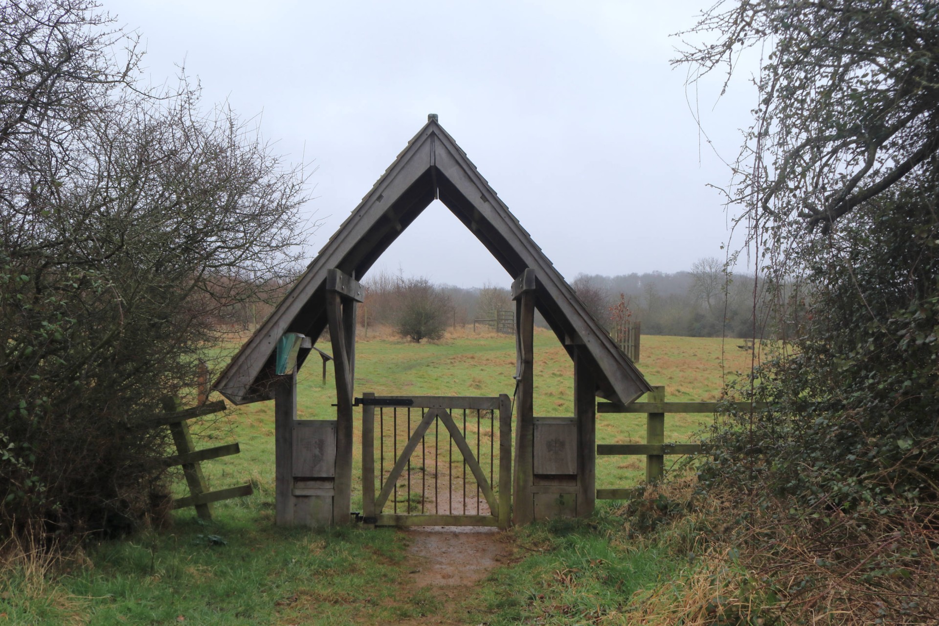
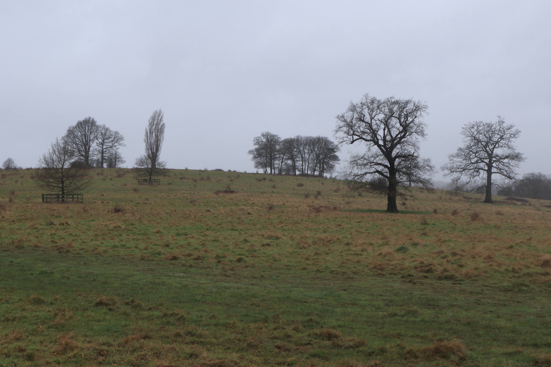
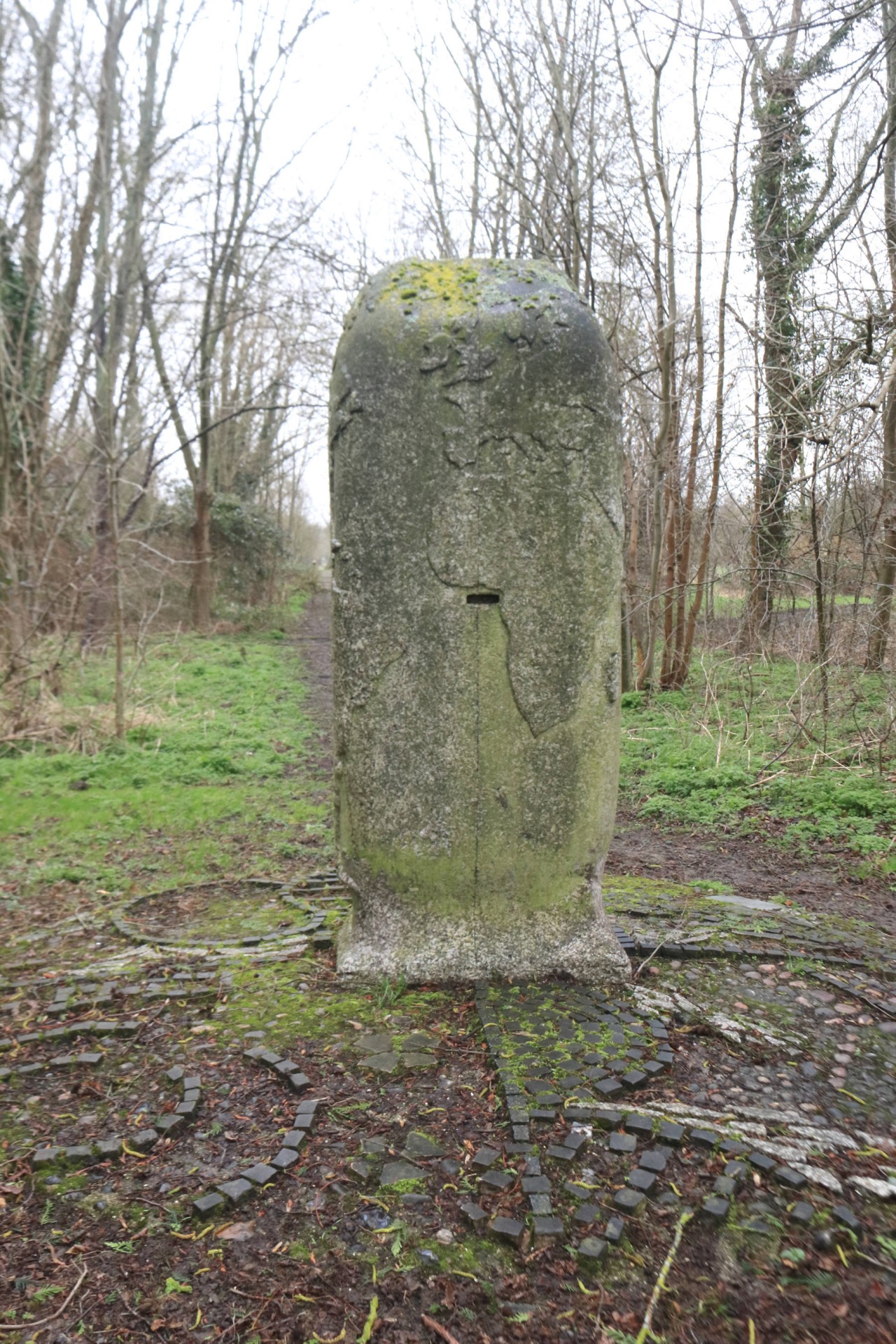
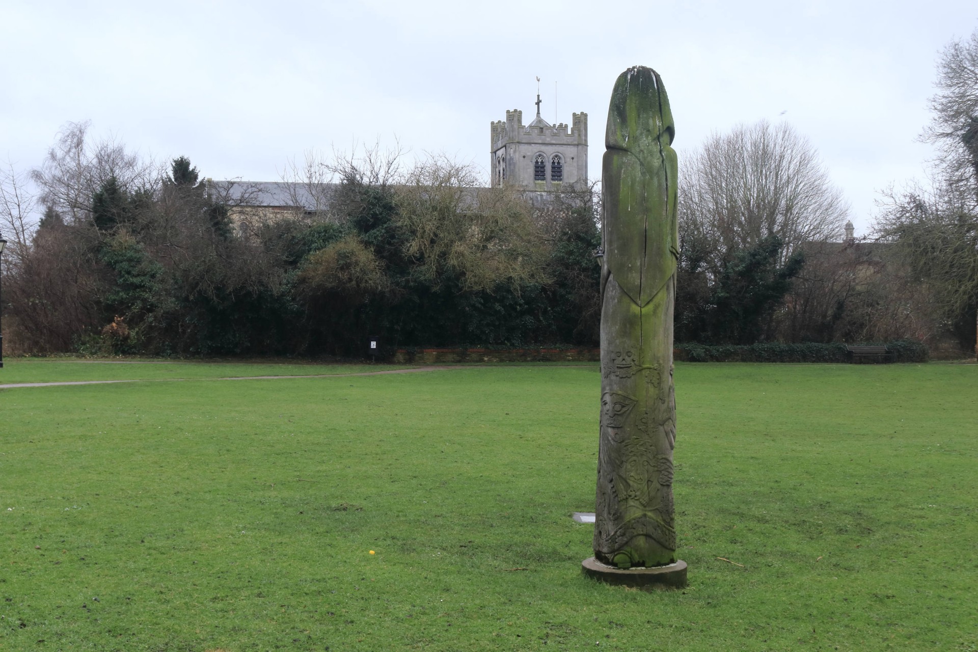
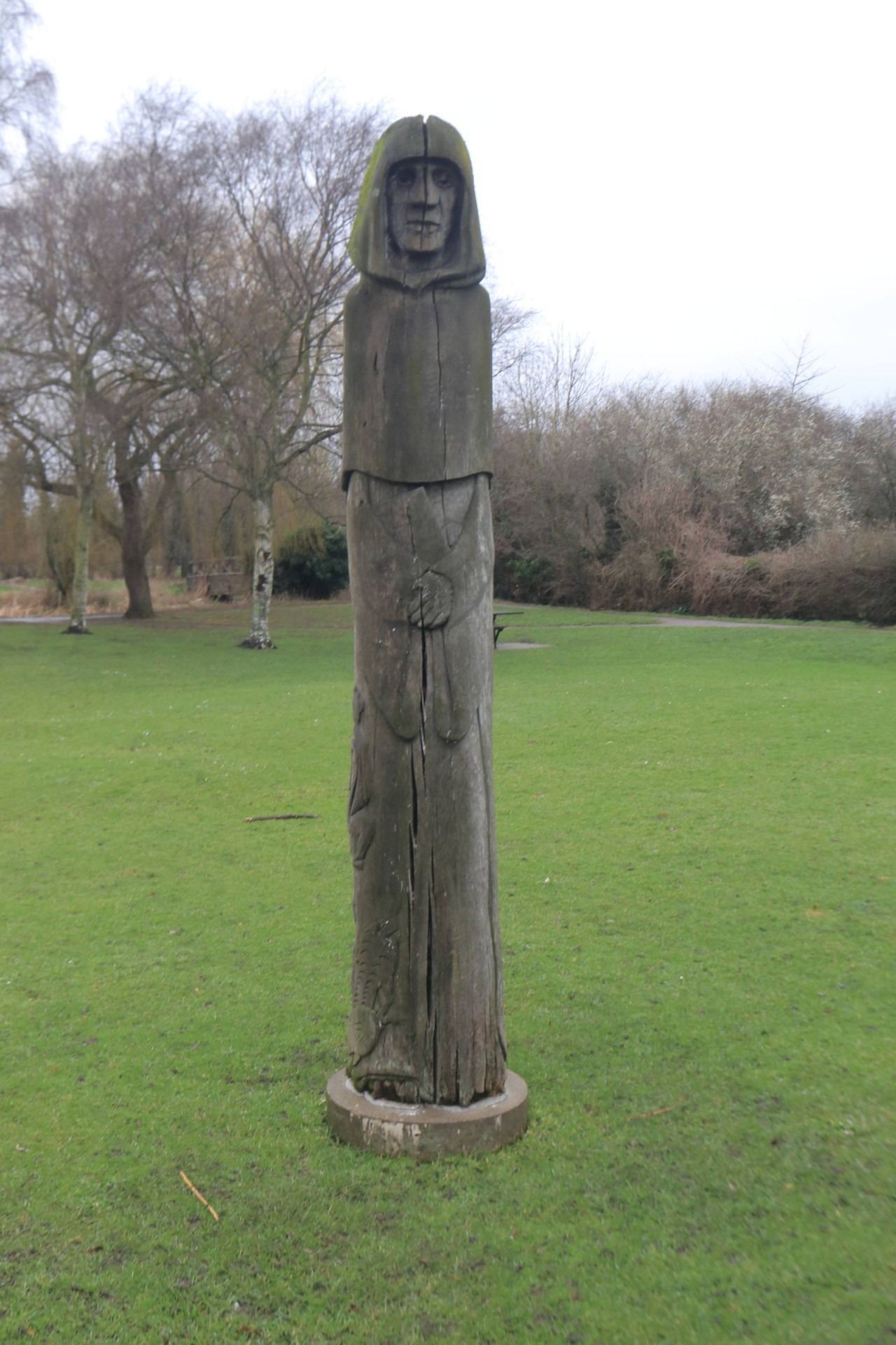
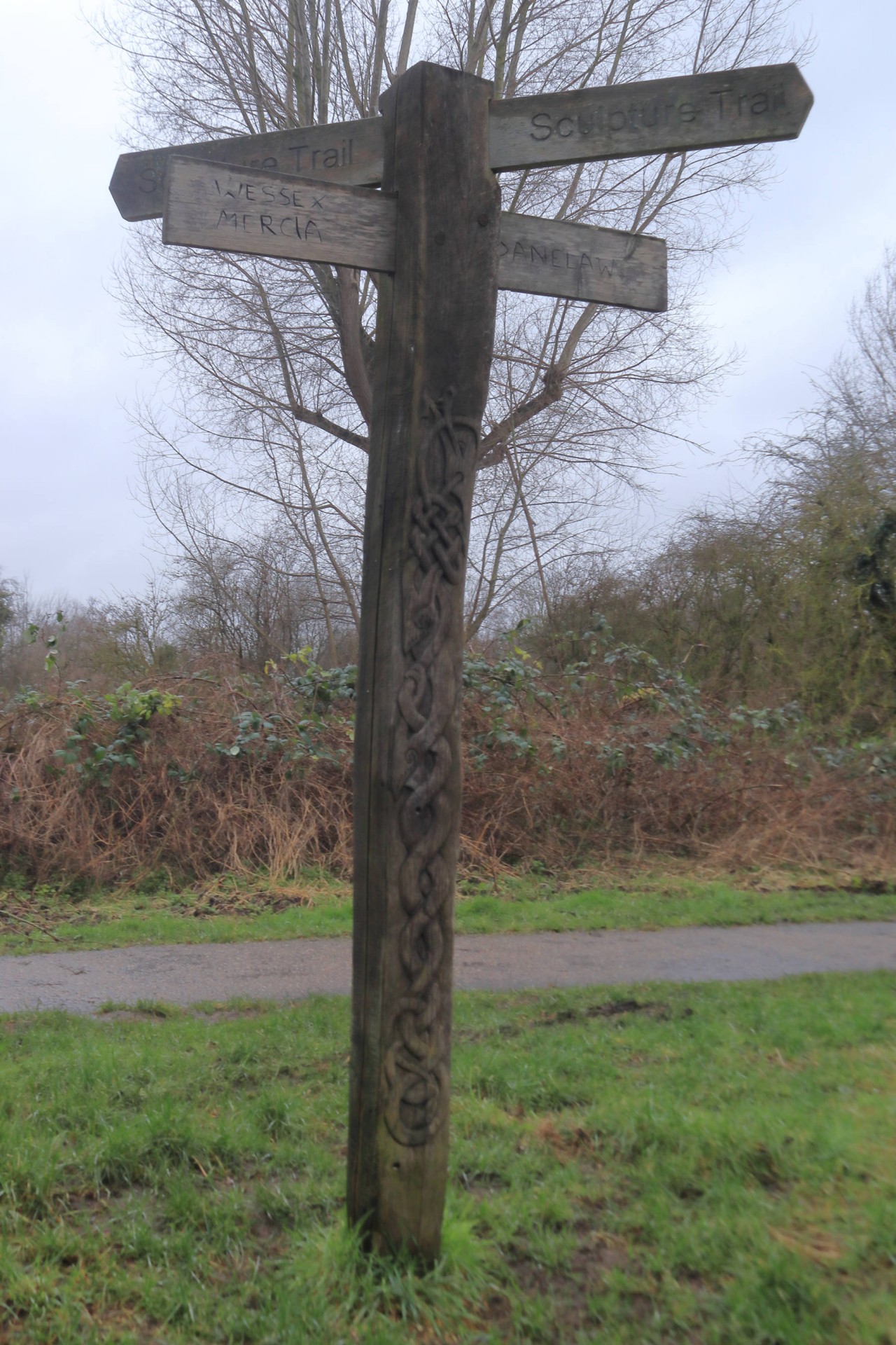
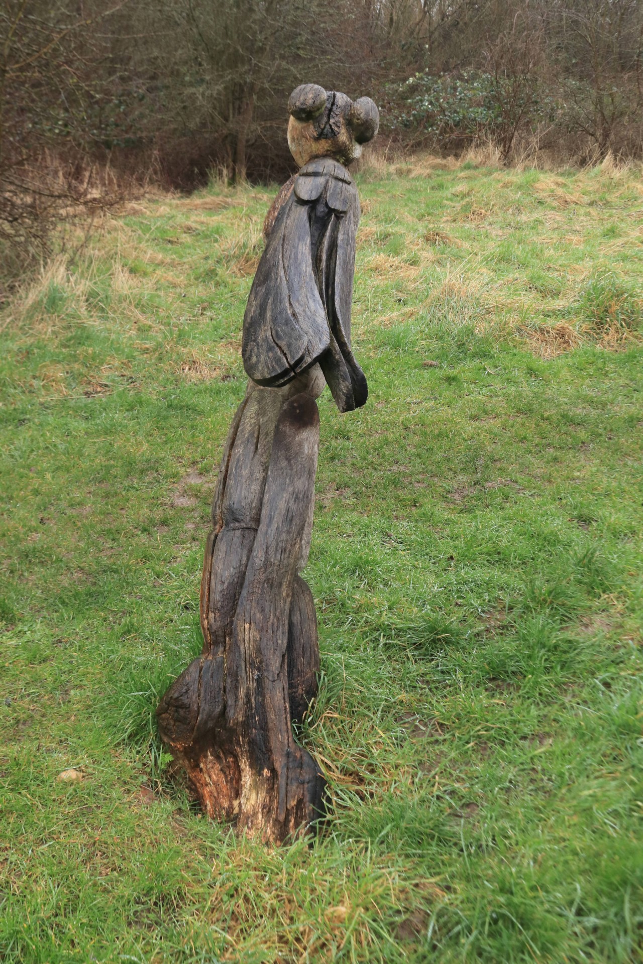
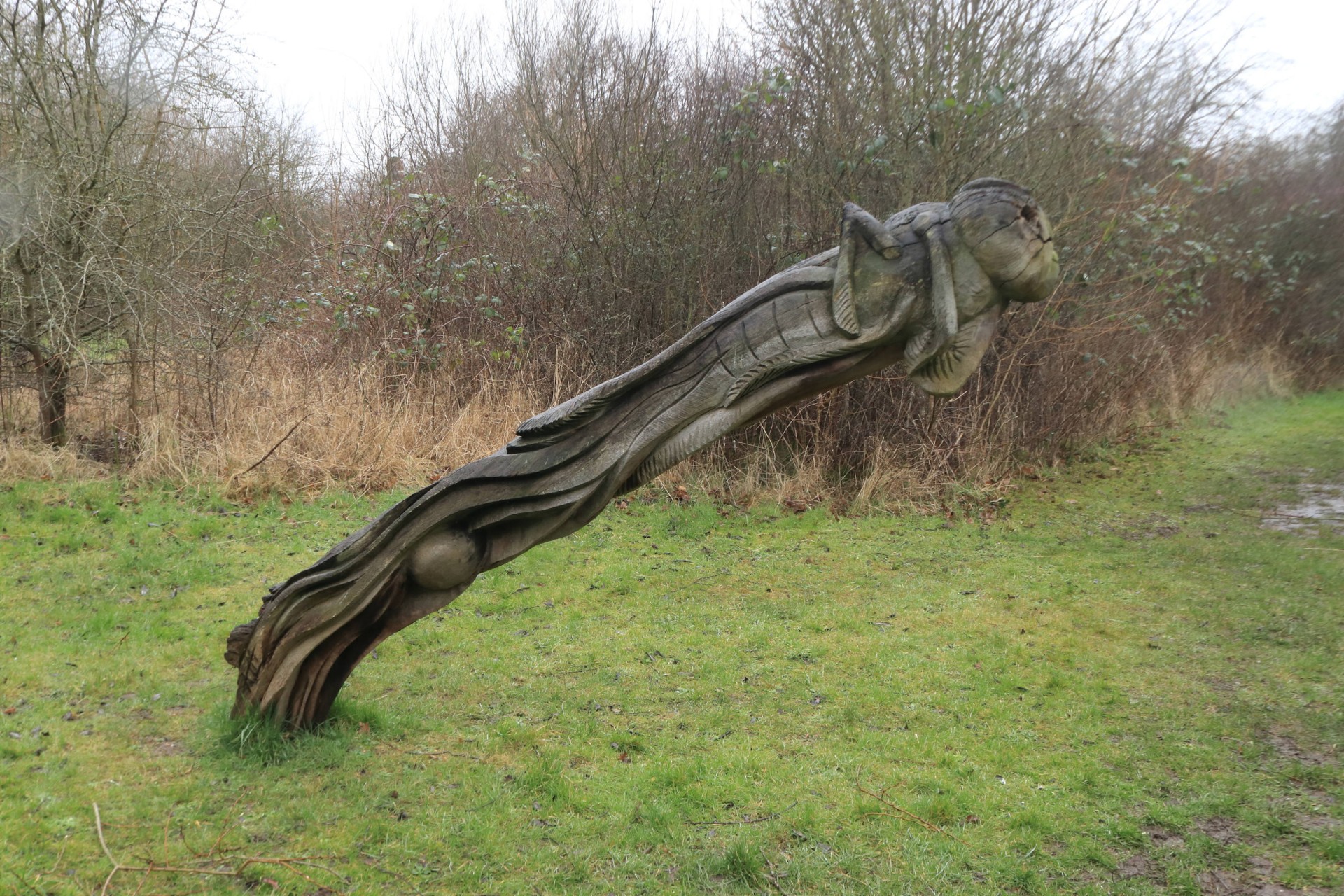
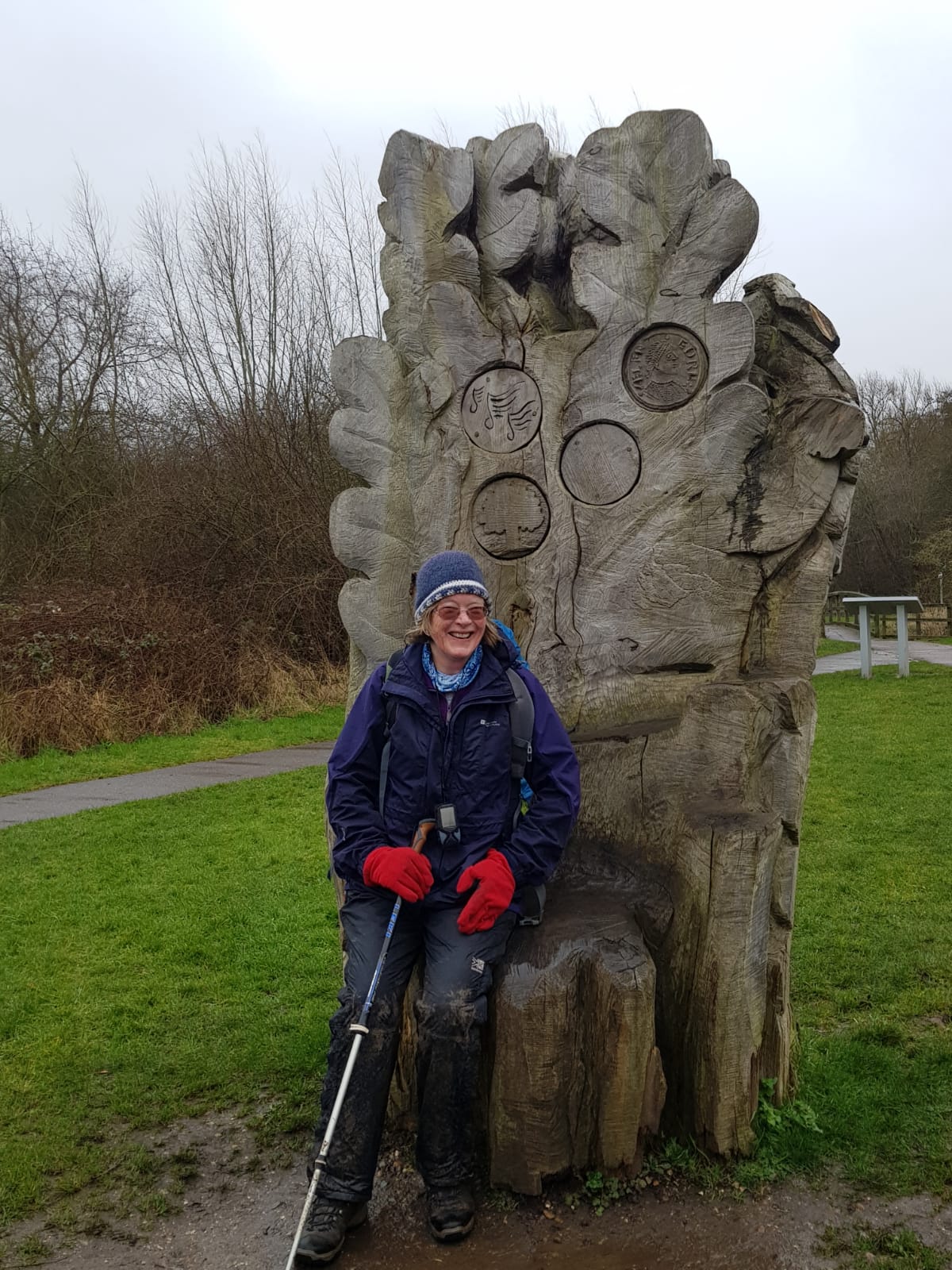
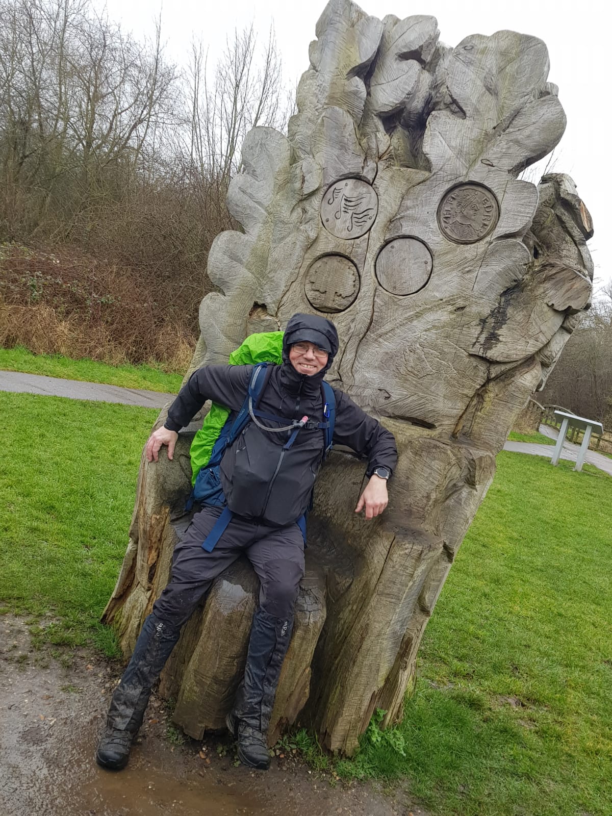
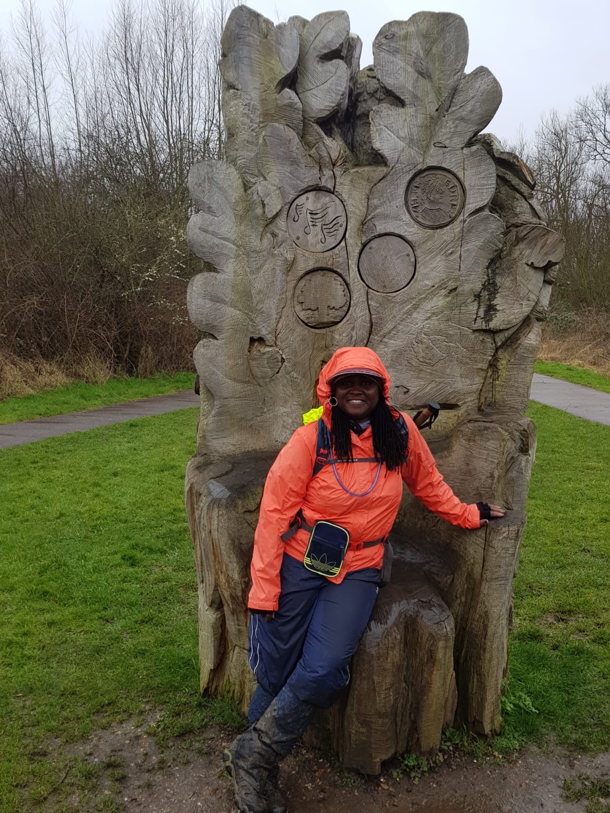
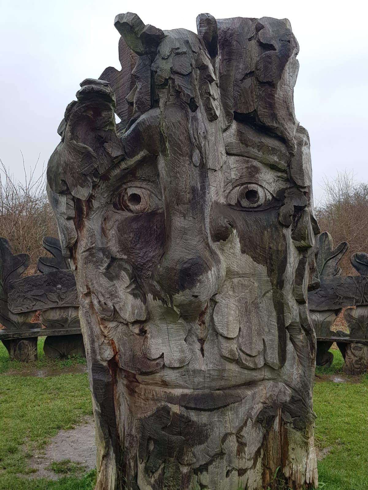
Six stalwarts shrugged off the remnants of Storm Eunice and the predictions of strong wind and rain and set off in cheerful spirits for the planned walk. No need to vary the plan either as the weather wasn't bad and even the mud in Epping Forest wasn't as bad as we have seen on walks in February. It stayed grey for the whole 17.2 miles though, which meant the views from our 83-metre high hill were almost non-existent. Lunch in Waltham Abbey followed by an increase in pace as we stepped it out on the tarmac paths through Lee Valley Country Park taking in some of the wooden sculptures and several of the reservoirs then down the canal to catch the train at Enfield Lock.
Photographs by Gavin Fuller and Bola Baruwa
Other Files
Download Walk ReportGPX
A GPX file of the above route may be downloaded by clicking the link below.
Note: GPX files of Group Walks are created by LDWA Group members, and may be downloaded only by other LDWA members. They should not be made available outside the LDWA, and are used at members' own risk.
Login to Download (Members Only)You can use the interactive controls to zoom in and out and to move around the map, or click on a path or a marker for more info. (interactive map help)
You can use the interactive controls to zoom in and out and to move around the map, or click on a path or a marker for more info. (interactive map help)
© OpenStreetMap contributors under Open Database Licence
Rights of way data from selected Local Authorities
Large scale digital mapping is provided by John Thorn
At high zoom levels the route is indicative only.
Gallery

Maps:
You can use the interactive controls to zoom in and out and to move around the map, or click on a marker for more info. (interactive map help)
© OpenStreetMap contributors under Open Database Licence.
Rights of way data from selected Local Authorities.
Large scale digital mapping is provided by John Thorn.


