


Vauxhall to Edgware
Wed 18th Aug 2021
Walk Details:
Featuring Sky Pool New American Embassy, Battersea Power Station, Peace Pagoda Chelsea
Entry Details:
Walk Report
Vauxhall to Edgware Road, Wednesday 18th August 20214 walkers, 6.4 miles - leader Adam Pode
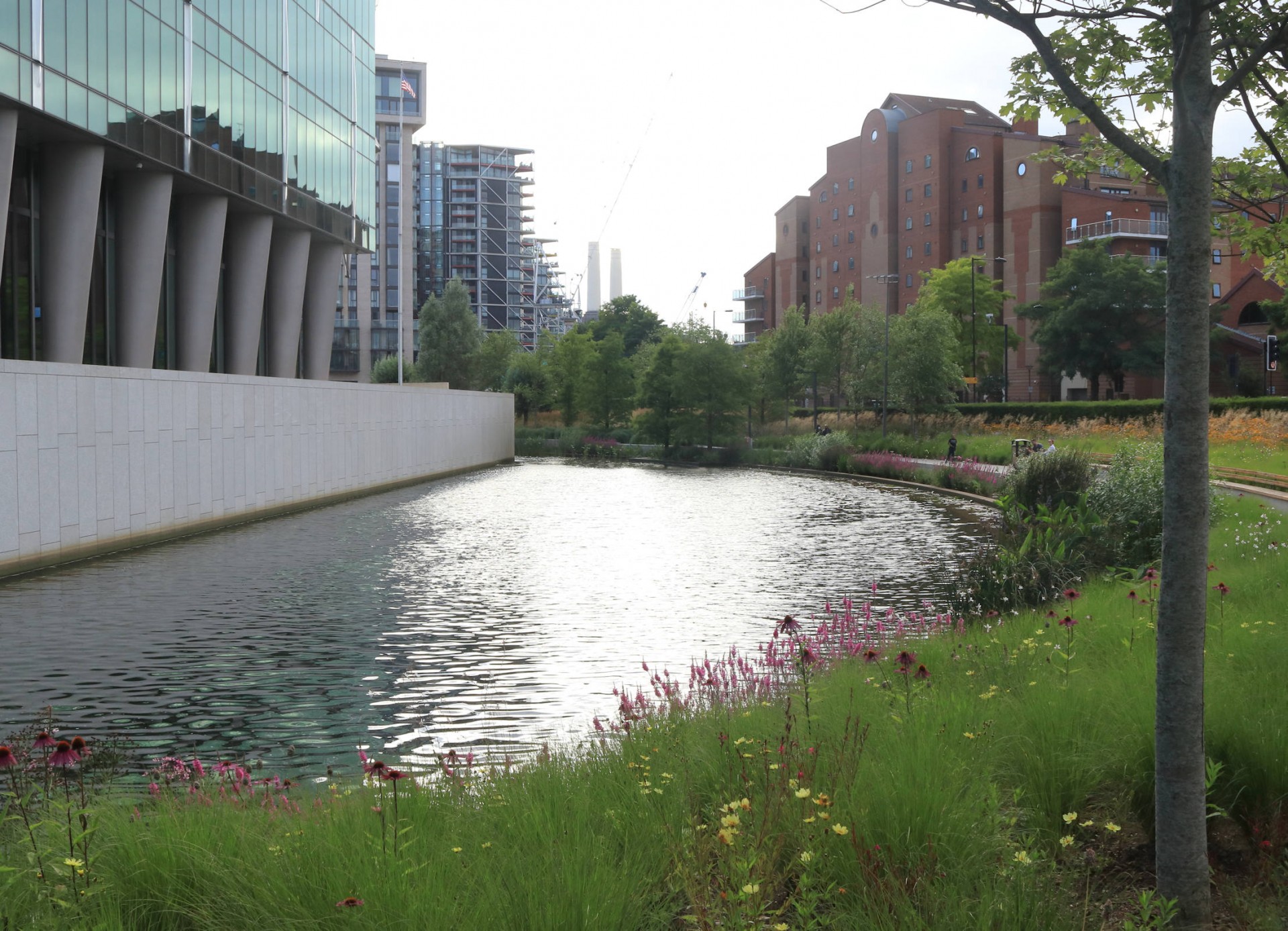
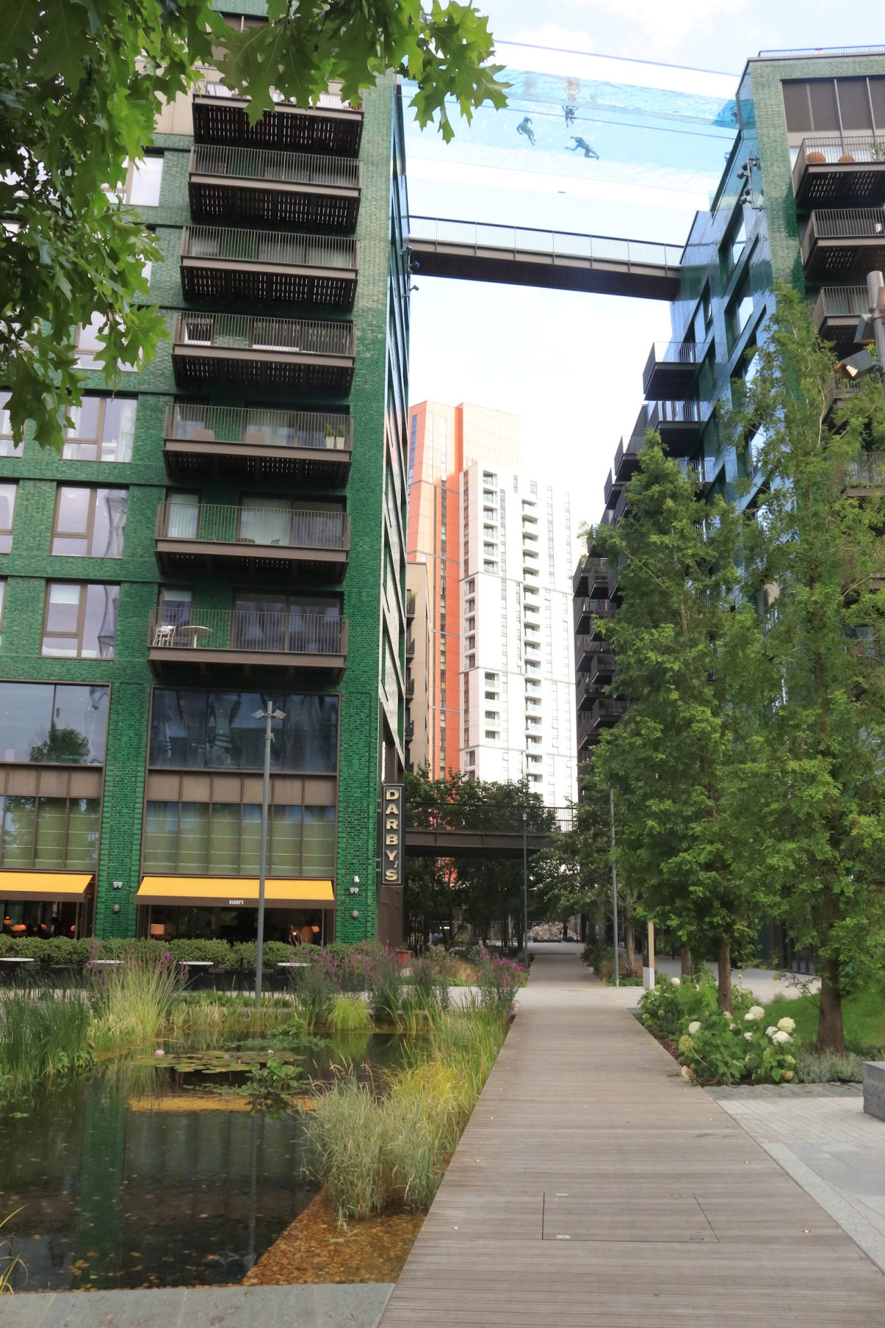
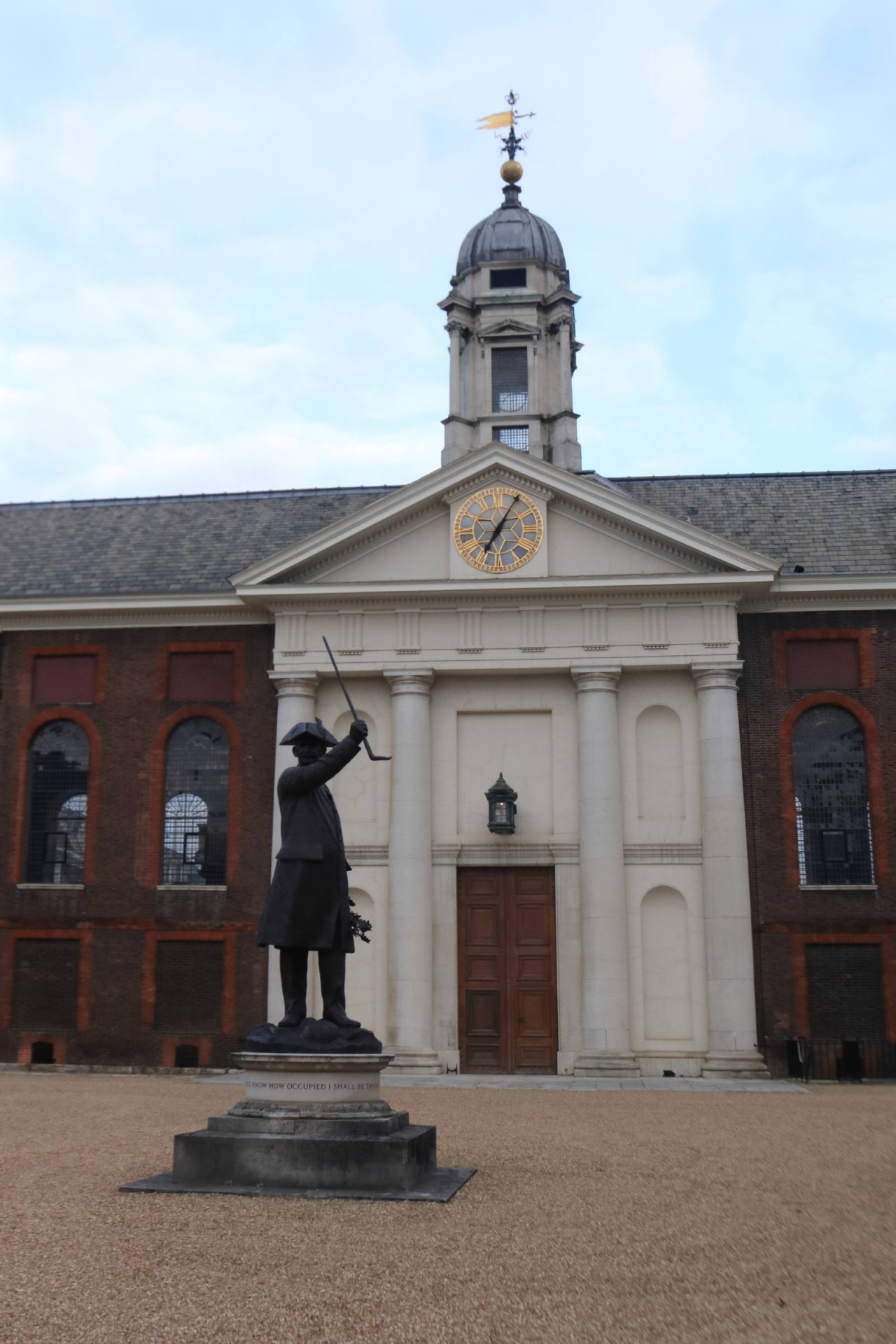
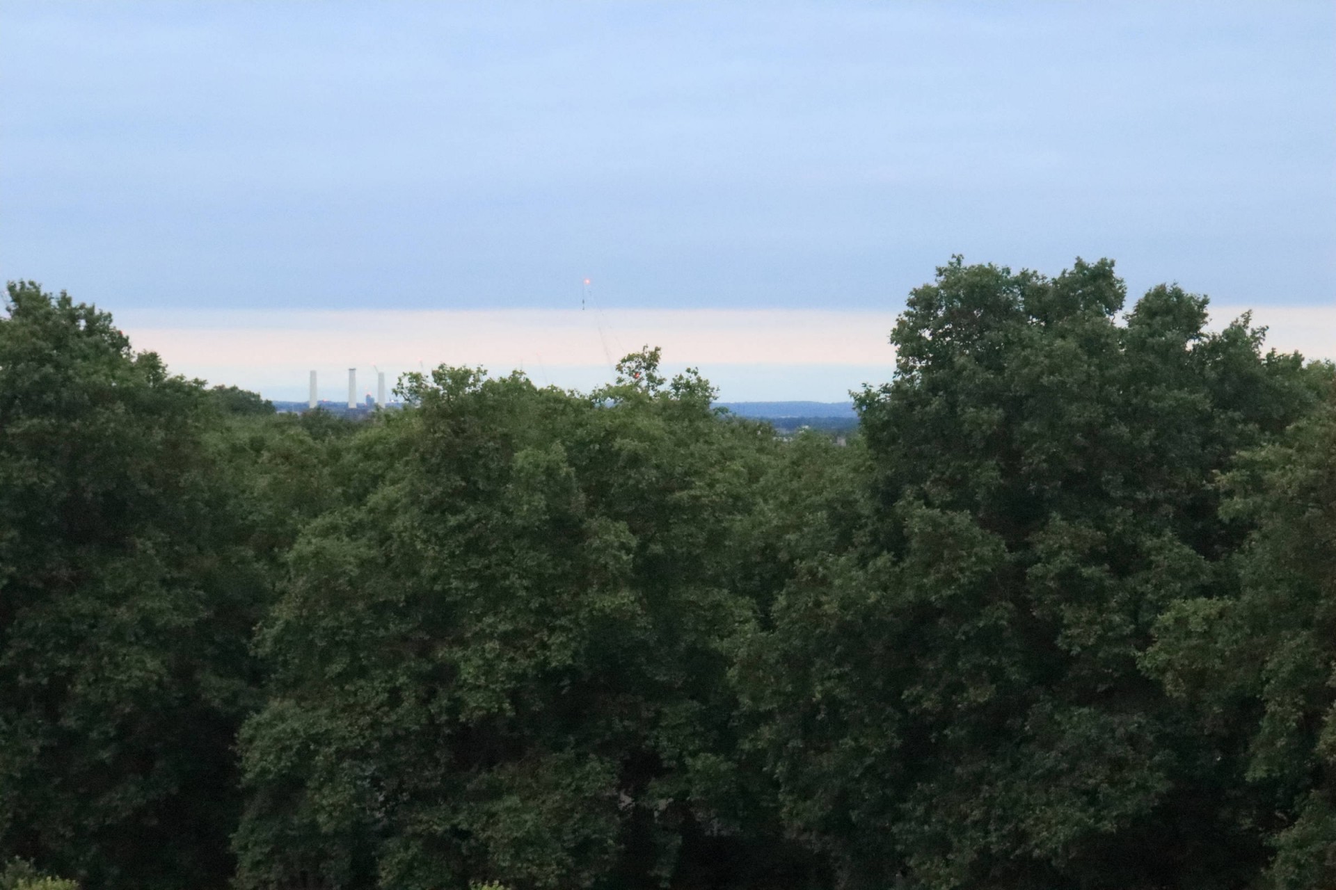
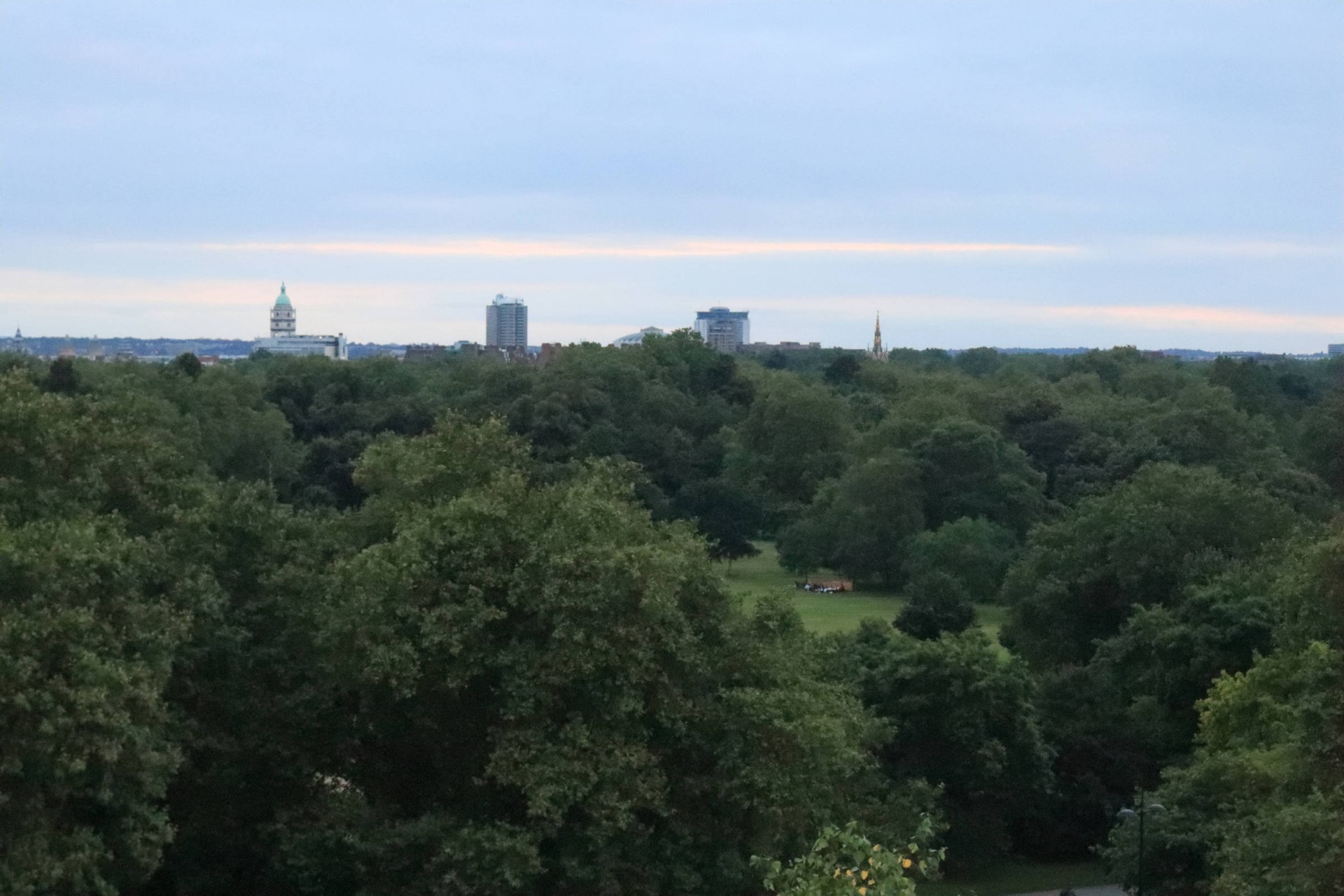
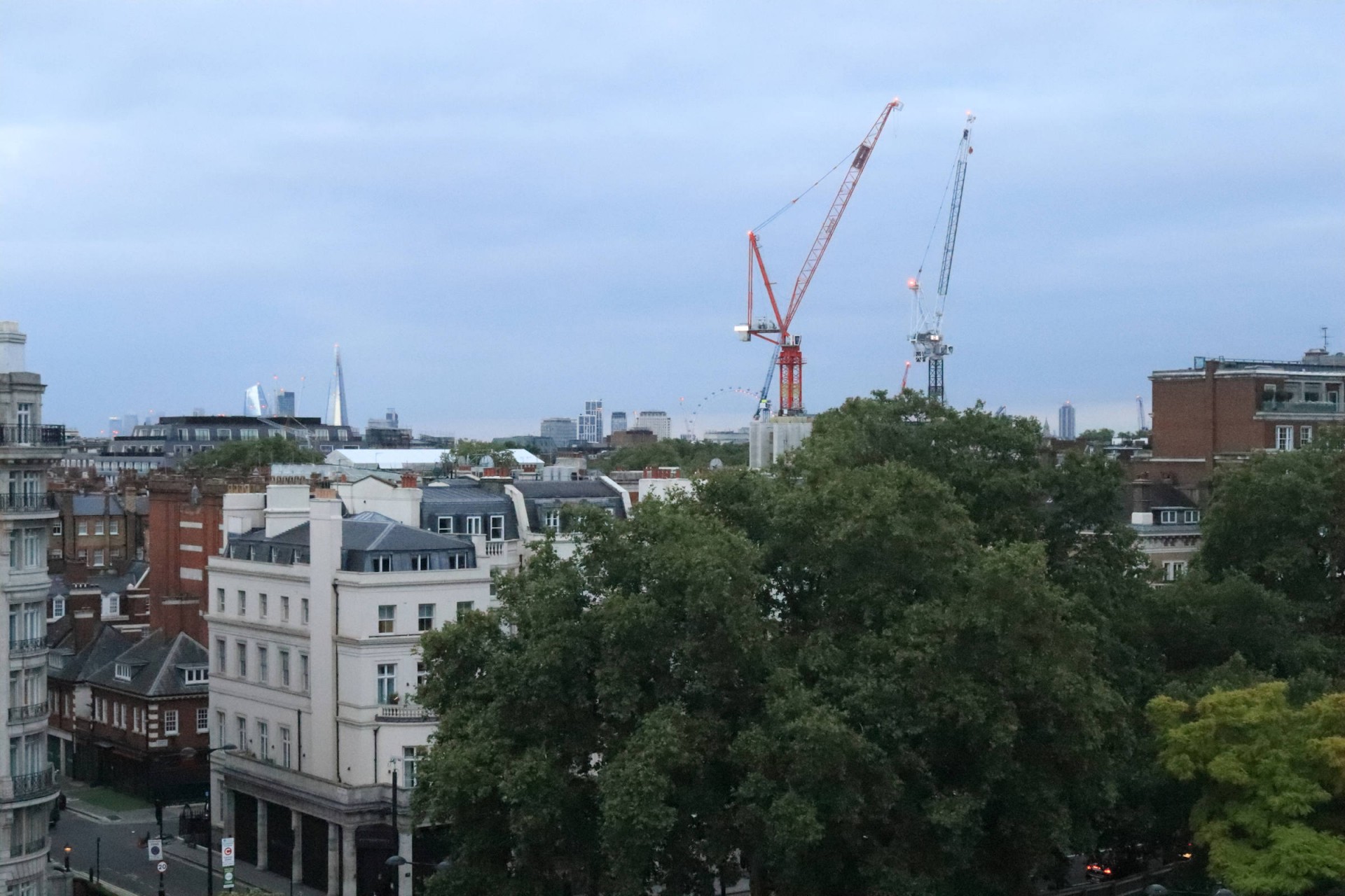
It was shall we say a select group who set off from the edge of Vauxhall Bridge on a meander through the streets and open spaces to Marble Arch, with plenty to see on the way. Leaving the MI6 building in our rear we proceeded to a circuit of the US Embassy building at Nine Elms, taking in a view of the nearby Skypool as we passed. Then in was on to another new development, that enclosing Battersea Power Station before the first of our two parks of the evening, namely Battersea. On, remembering to break step, across Albert Bridge, the walk then passed the National Army Museum, complete with tank outside, and the Royal Hospital, Chelsea, before an exploration of the streets and mews of Belgravia. On through Hyde Park, where none of the party could identify which of the trees near the memorial was the replacement Reformers' Tree, to the climax of the walk, an ascent of the Marble Arch Mound to take in what views there were from the top. A very interesting exploration of this corner of London.
Report and photographs by Gavin Fuller
Other Files
Download Walk ReportGPX
A GPX file of the above route may be downloaded by clicking the link below.
Note: GPX files of Group Walks are created by LDWA Group members, and may be downloaded only by other LDWA members. They should not be made available outside the LDWA, and are used at members' own risk.
Login to Download (Members Only)You can use the interactive controls to zoom in and out and to move around the map, or click on a path or a marker for more info. (interactive map help)
You can use the interactive controls to zoom in and out and to move around the map, or click on a path or a marker for more info. (interactive map help)
© OpenStreetMap contributors under Open Database Licence
Rights of way data from selected Local Authorities
Large scale digital mapping is provided by John Thorn
At high zoom levels the route is indicative only.
Gallery


Maps:
You can use the interactive controls to zoom in and out and to move around the map, or click on a marker for more info. (interactive map help)
© OpenStreetMap contributors under Open Database Licence.
Rights of way data from selected Local Authorities.
Large scale digital mapping is provided by John Thorn.


