


London Evening Walk: Stanmore to Hatch End
Thu 17th Jun 2021
Walk Details:
Event Type
Group Walk
Region / Area
Southern England / London
Local Group
London
Distance
8ml.
Start Time
18:30
Route
From Stanmore (Jubilee line Station) to Hatch End station
A linear walk taking in sites of historical interest and views over NW London with Wetherspoons option at finish. Based on London Capital Ring
General Notes
Finish at Hatch End station for Euston or Willesden Junction connections, or bus back to Stanmore.
You must register with the walk leader in advance to attend this walk
Web Site
Start
Finish
Entry Details:
Cost
Walk Report
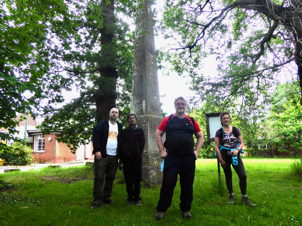
Stanmore to Hatch End, Thursday 17th June 20215 walkers, 8 miles - leader Godfrey O'Callaghan
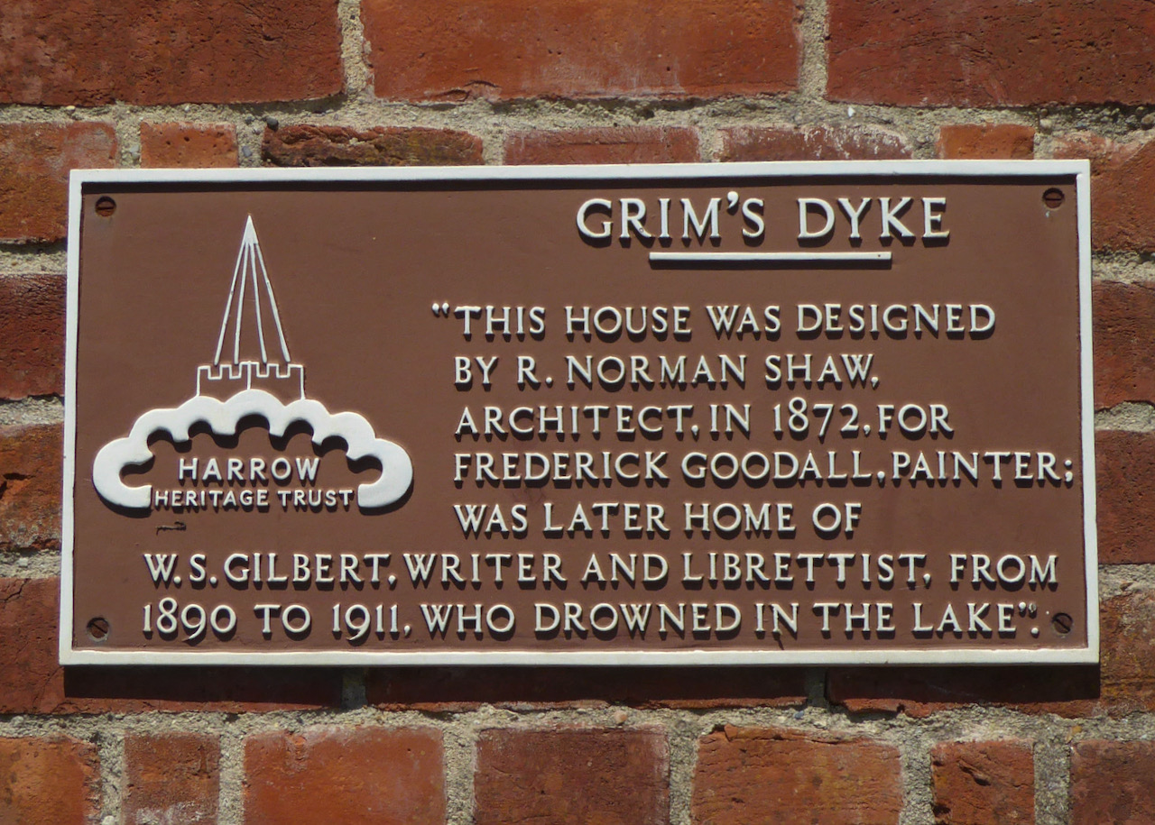
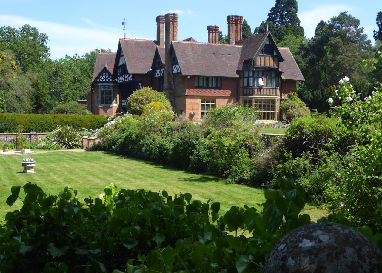
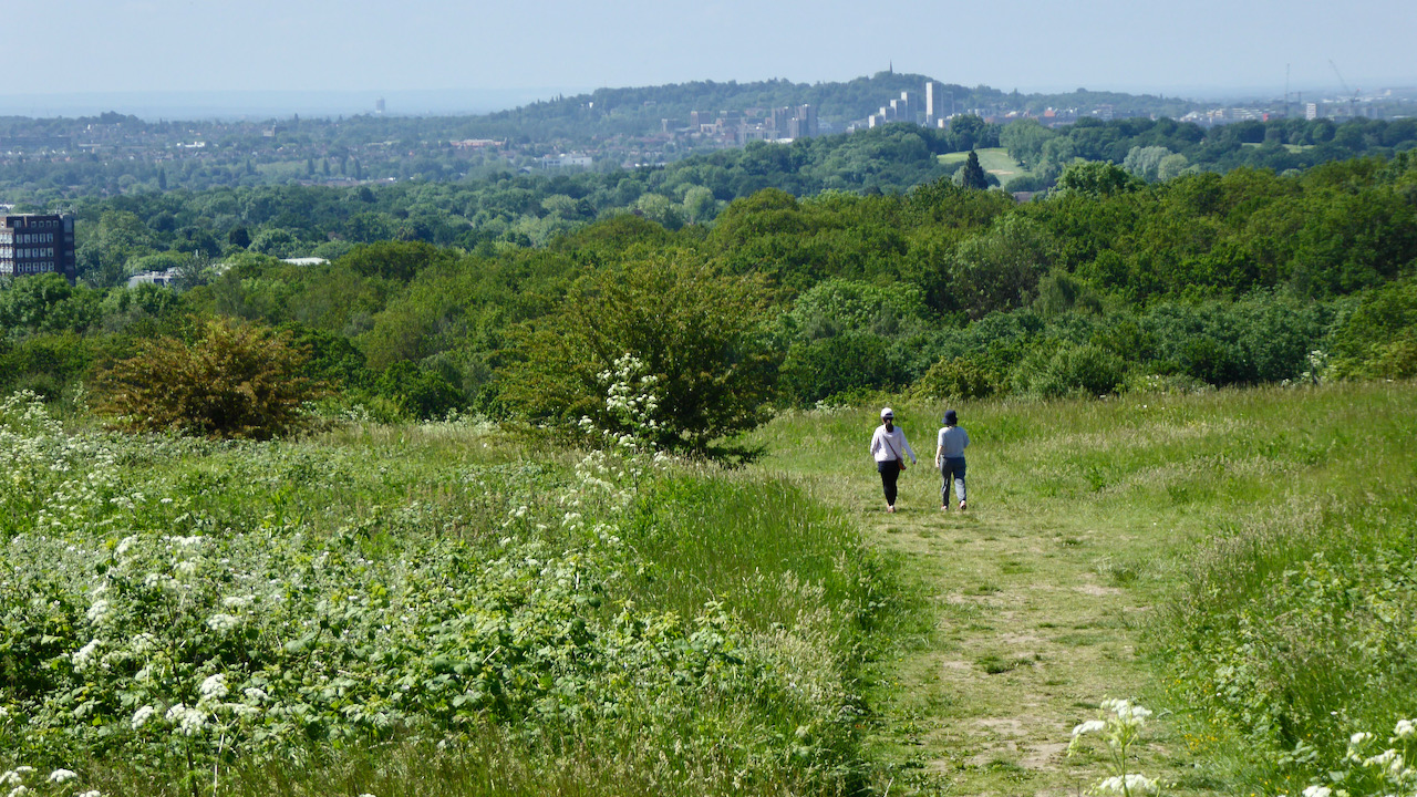
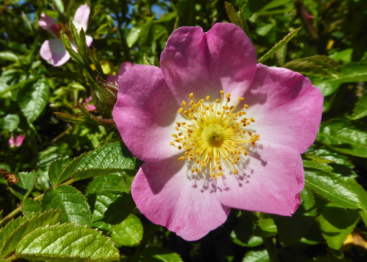
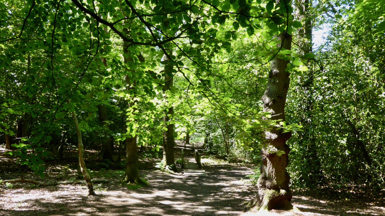
Rain threatened as we set off from Stanmore station. The walk, based on the London Loop, began with Stanmore Country Park and Pear Wood. Wild flowers that had been in profusion during the recce were gone, blown away by the heat during the intervening period. We were, though, treated to the song of a Nightingale. The first historical stop was to view what was recently described as London's most hidden blue plaque. Hidden in roadside undergrowth on Brockley Hill (Watling Street) and opposite the Royal Orthopaedic Hospital, is one marking the site of a Roman Pottery and possible settlement of Sulloniacis. Slightly bigger is an obelisk in the grounds of the hospital built to mark the place of a battle between Julius Caesar and the local chieftain Cassivellaunus in AD54. The score was Ancient Briton 1, Rome 0. It also marks a spot 10 miles between Londinium and St Albans. The walk then continued across Stanmore Common to Bentley Priory, the HQ for Fighter Command during WW2. Along the way we dropped down to the lake in Bentley Priory Nature Reserve to see the Master Oak thought to have been planted at the time of Henry VIII. We then moved on to Harrow Weald Common and the Grimsdyke Hotel. Grims Dyke (or ditch) is an ancient ditch and mound, constructed across the hills of North West London, for either defensive purposes or to mark a tribal boundary. The Hotel was once the home of W.S. Gilbert, the other half of Gilbert and Sullivan fame. Sir William died there when he succumbed to a heart attack whilst swimming in the lake with a young female friend. We took a detour to see the house and lake. Soon after, we descended across a golf course. Quiet and deserted in the rain, it marked the end of the green bits before urban streets and the finish at Hatch End. Four of the group then enjoyed (what is considered to be) the traditional ending to a London Group walk at Wetherspoons.
Photographs by Godfrey O'Callaghan during the recce and the walk.
Other Files
Download Walk ReportGallery

Maps:
You can use the interactive controls to zoom in and out and to move around the map, or click on a marker for more info. (interactive map help)
Contains Ordnance Survey data © Crown copyright and database right 2016.
© OpenStreetMap contributors under Open Database Licence.
Rights of way data from selected Local Authorities.
Large scale digital mapping is provided by John Thorn.
© OpenStreetMap contributors under Open Database Licence.
Rights of way data from selected Local Authorities.
Large scale digital mapping is provided by John Thorn.


