


Sevenoaks to Tonbridge
Sat 7th Sep 2019
Walk Details:
Event Details Updated
New walk leader details added
Event Type
Group Walk
Region
Southern England
Local Group
London
Distance
20ml.
Start Time
09.40
Route
Start: Sevenoaks Railway Station. Finish: Tonbridge Railway Station
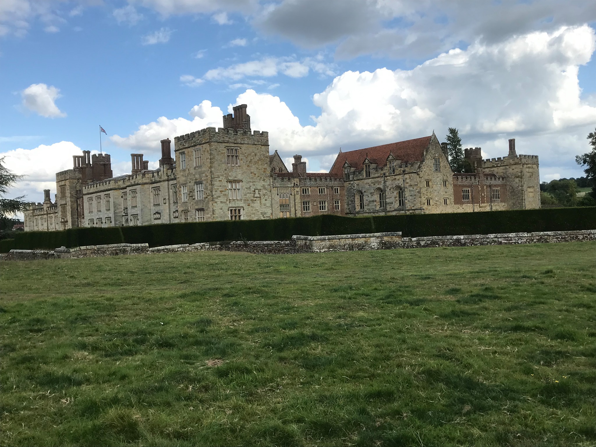
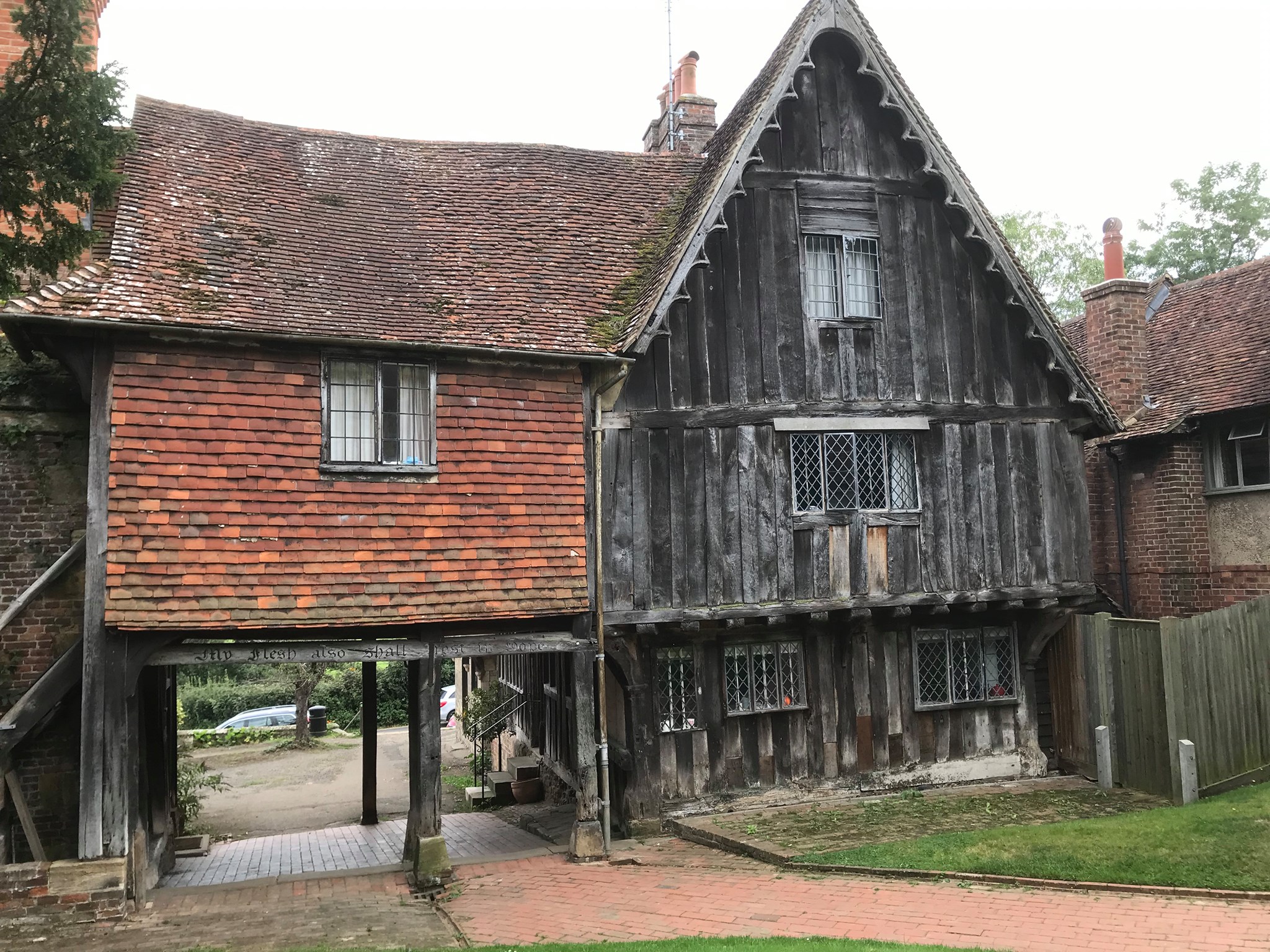
Starting at Sevenoaks Railway Station before making our way through some wonderful parts on Sevenoaks Weald and onwards towards the historic village of Hever, lunch will be in the shadow of the historic Hever castle at the lovely King Hendry viii pub, it has a large garden and is dog friendly. On leaving Hever we walk along the Eden Valley walk through the village of Penshurst and past the wonderful Penshurst place on our way to Tonbridge
General Notes
Please Note that the walk finishes in Tonbridge so you will need a train ticket to return from there. Dogs welcome
Web Site
Start
Finish
Entry Details:
Cost
Walk Report
Sevenoaks to Tonbridge, Saturday 7th September 201914 walkers, 20 miles - leader Jerome Ripp
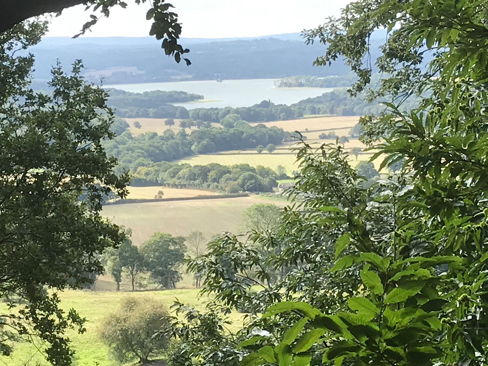
The original leader was indisposed so at the last minute I took over the role. I had walked substantial parts of the route on other leads but without the benefit of an official recce there were some moments of doubt. However I had several assistants within the group with knowledge and technology who ably supported me so that we could enjoy a pleasant early autumn day with some splendid Kent scenery. There were fine views of Bough Beech reservoir from the Greensand ridge and the long descent into the Low Weald took us to lunch at the Henry VIII pub in Hever. Here we played the role of extras in a wedding at the church opposite, the first of several that we passed en route. The afternoon section mostly followed the Eden Valley Walk with some variations and a stop at the picture book village of Penshurst where a local lady was keen to impart lots of historical information. Tonbridge station was reached at 5.30 exactly as stated at the start but there were only 10 of us. One had left officially at lunch but 3 others had succumbed to the temptations of photos and berries: Since Pillbox was one of them, I am confident that they all reached a safe haven and are not wandering round the Kent countryside.
Photographs by Ian Watson; more by Ian on the group Facebook site
Other Files
Download Walk ReportGallery
Maps:
You can use the interactive controls to zoom in and out and to move around the map, or click on a marker for more info. (interactive map help)
Contains Ordnance Survey data © Crown copyright and database right 2016.
© OpenStreetMap contributors under Open Database Licence.
Rights of way data from selected Local Authorities.
Large scale digital mapping is provided by John Thorn.
© OpenStreetMap contributors under Open Database Licence.
Rights of way data from selected Local Authorities.
Large scale digital mapping is provided by John Thorn.


