


Farewell New River
Sat 27th Apr 2019
Walk Details:
Event Type
Group Walk
Region
Southern England
Local Group
London
Distance
18ml.
Start Time
09.15
Route
Broxbourne station (0840 or 0843 from Liverpool Street)
A circular walk, out via Hertfordshire's only National Nature Reserve, lunch in Hertford (Wetherspoons or local café), back by the New River
General Notes
No dogs except registered assistance dogs
Web Site
Start
Finish
Entry Details:
Cost
Walk Report
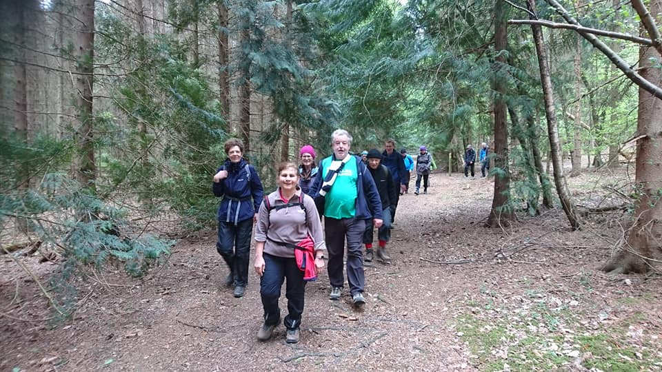
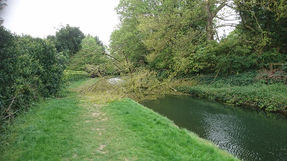
Farewell New River, Saturday 27th April 201916 walkers, 19 miles â leader Peter Aylmer
A walk of two halves - a largely wooded first half, much of it in Hertfordshire's only National Nature Reserve Broxbourne Woods, and then a second half that principally followed the remarkable early 17th-century watercourse the New River. And splendidly placed for lunch, the county town of Hertford, with an up-to-date Wetherspoons for those who like that sort of thing.
In Broxbourne Woods - the northernmost limit of the hornbeam tree in England, we found - we crossed the Roman Road of Ermine Street and encountered a tree-sculpture trail. Out of the woods, we had a short break at the village of Bayford, before dropping down close to the railway (largely out of sight thanks to tree cover) into Hertford - other than a small ring road, a town that hasn't been mucked around with too much. After lunch we were soon at the Gauge House by the River Lea, starting point of the New River, which was to be our guide all the way back to Broxbourne station. It's a remarkably varied stretch, sometimes close to road or railway but more often quiet and pastoral, though with a grittier industrial section near Rye House. At Ware we even held up a bus so that a pair of ducks could make it away from the road and back to the river! The sun finally made an appearance as we managed the final mile past the grand houses of northern Broxbourne.
Photographs by Peter Aylmer; more by Peter on the group Facebook site
Other Files
Download Walk ReportGallery
Maps:
You can use the interactive controls to zoom in and out and to move around the map, or click on a marker for more info. (interactive map help)
Contains Ordnance Survey data © Crown copyright and database right 2016.
© OpenStreetMap contributors under Open Database Licence.
Rights of way data from selected Local Authorities.
Large scale digital mapping is provided by John Thorn.
© OpenStreetMap contributors under Open Database Licence.
Rights of way data from selected Local Authorities.
Large scale digital mapping is provided by John Thorn.


