


Winter Chiltern Hills
Sat 9th Feb 2019
Walk Details:
Circular walk with lots of hills, woods, views; few buildings or people
Entry Details:
Walk Report
Winter Chiltern Hills, Saturday 9th February 201913 walkers, 17 miles - leader Jerome Ripp
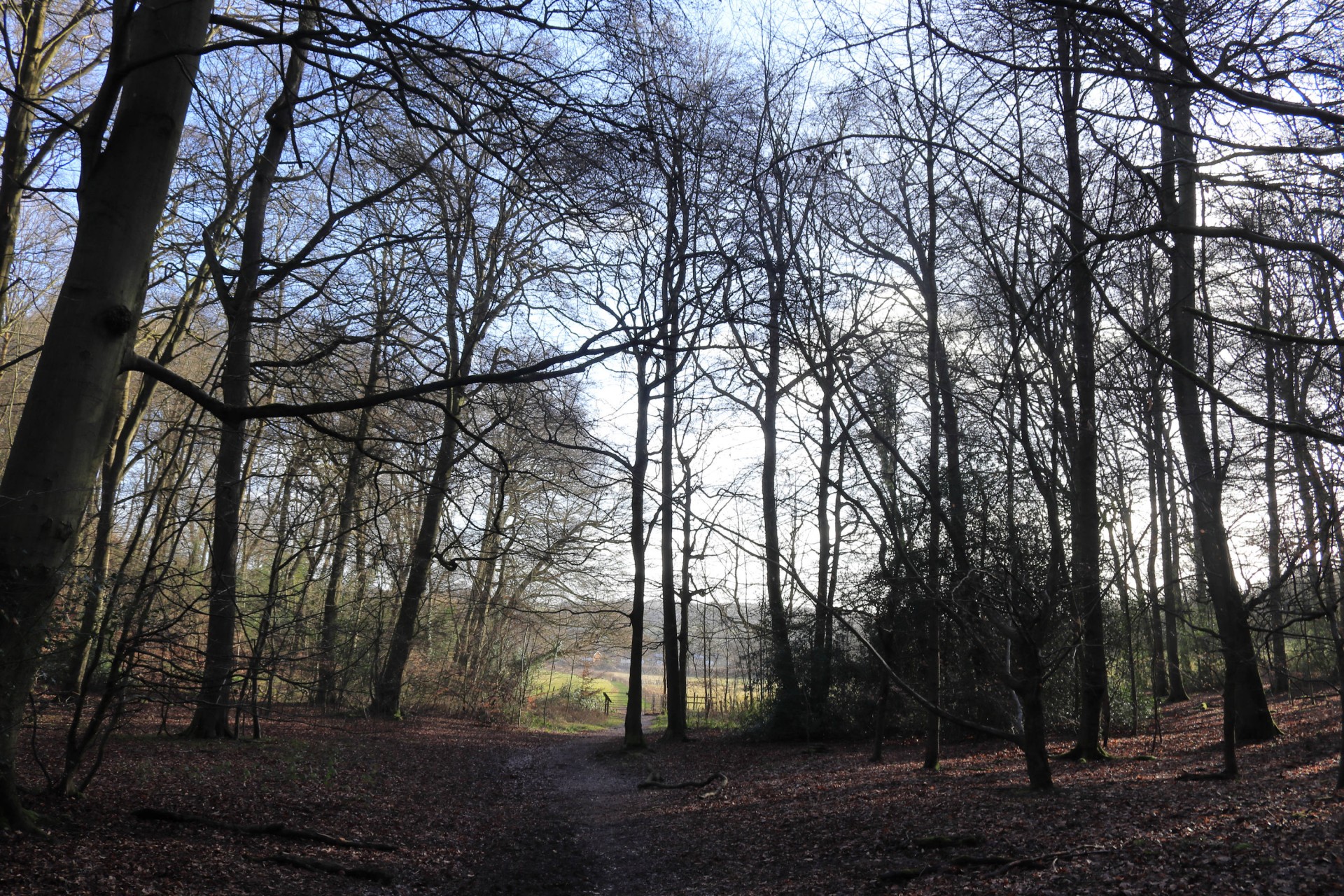
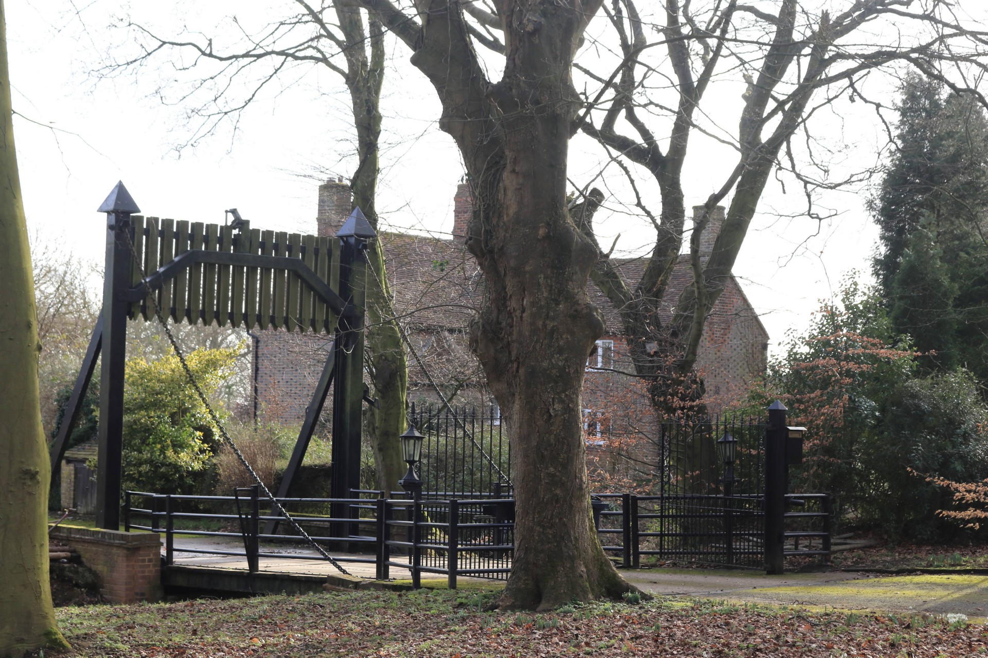
The walk lived up to the title; a bracing cold windy winter's day with lots of morning sun and a gloomier afternoon; plenty of Chiltern hills with approximately 1200 feet of ascent. The route was a northern circuit from Great Missenden via the Hampdens, crossing the valley at Wendover Dean and lunch at the Old Swan, Lee Gate with a most welcome fire and hot drinks. The shorter afternoon section reached the most northerly point at Dundridge manor before heading south over Lee common and Ballinger common to catch the 16.32 train as there was only 1 train an hour. A few ploughed fields and some mud but mostly good woodland and field tracks with some fine views, and not a loop in sight today!
Photographs by Gavin Fuller; More by Gavin and Barry Arnold on the group Facebook Site
Other Files
Download Walk ReportGPX
A GPX file of the above route may be downloaded by clicking the link below.
Note: GPX files of Group Walks are created by LDWA Group members, and may be downloaded only by other LDWA members. They should not be made available outside the LDWA, and are used at members' own risk.
Login to Download (Members Only)You can use the interactive controls to zoom in and out and to move around the map, or click on a path or a marker for more info. (interactive map help)
You can use the interactive controls to zoom in and out and to move around the map, or click on a path or a marker for more info. (interactive map help)
© OpenStreetMap contributors under Open Database Licence
Rights of way data from selected Local Authorities
Large scale digital mapping is provided by John Thorn
At high zoom levels the route is indicative only.
Gallery


Maps:
You can use the interactive controls to zoom in and out and to move around the map, or click on a marker for more info. (interactive map help)
© OpenStreetMap contributors under Open Database Licence.
Rights of way data from selected Local Authorities.
Large scale digital mapping is provided by John Thorn.


