


Caterham Cloudsplitter (Daytime midweek walk)
Thu 1st Jun 2017
Walk Details:
Event Details Updated
Update 28/5
Detailed walk notes are available on the LDWA London website at:
* https://www.ldwa.org.uk/London/W/5058/caterham-clousplitter-jun-2017.html
* (or navigate from the menu: Info -> Calterham Cloudsplitter 2017)
Event Type
Group Walk
Region
Southern England
Local Group
London
Distance
18ml.
Start Time
11.00
Route
Start and finish at Caterham station
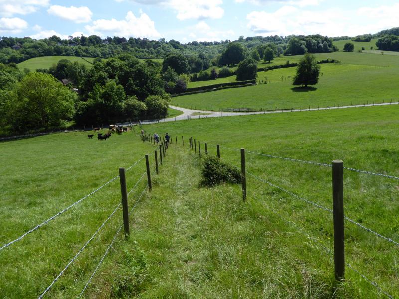
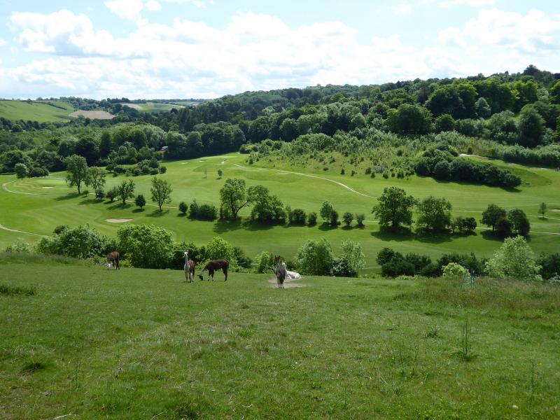
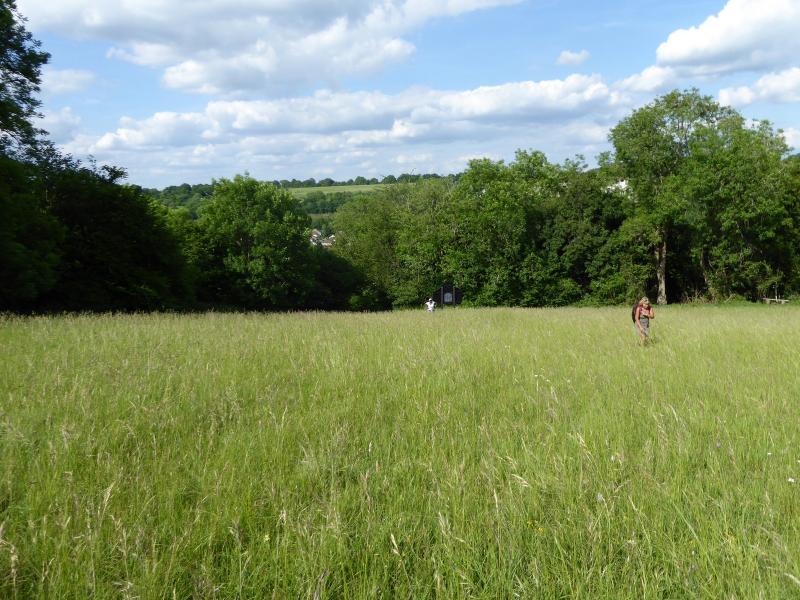
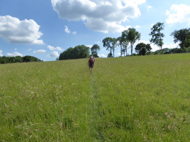
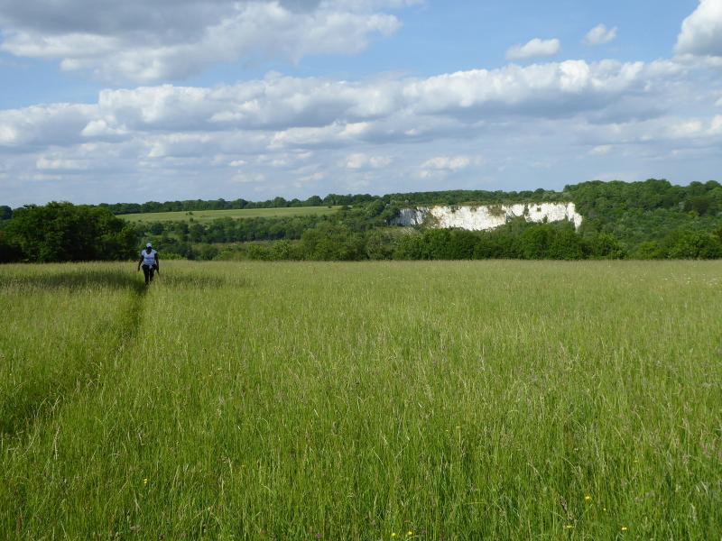
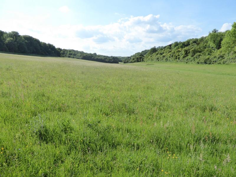
A circular walk mainly over calcerous grasslands, woodlands and open spaces including Selsdon Nature Reserve, Kingswood, Riddlesdown, Kenley Common, Coulsdon Common and Happy Valley. Commanding views from the hill tops
General Notes
Late start to allow cheaper travel after 09.30. Leisurely pace. A number of moderate hills en route. Pub lunch after 6 miles on the Warlingham Farley borders (no muddy boots or feet in plastic bags please!). Dogs welcome (but please pick up dog litter). Short urban sections
Web Site
Start and Finish
Entry Details:
Cost
Walk Report
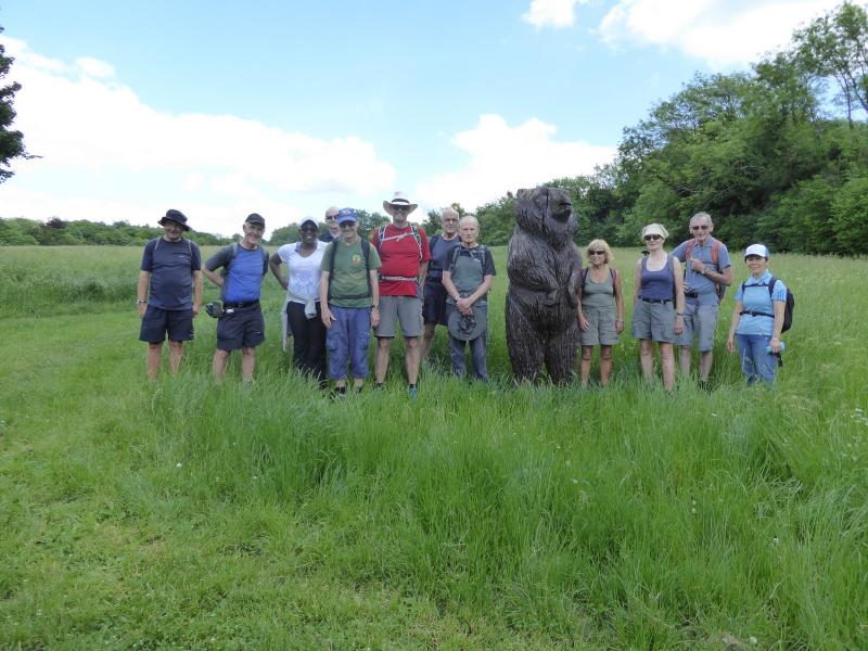
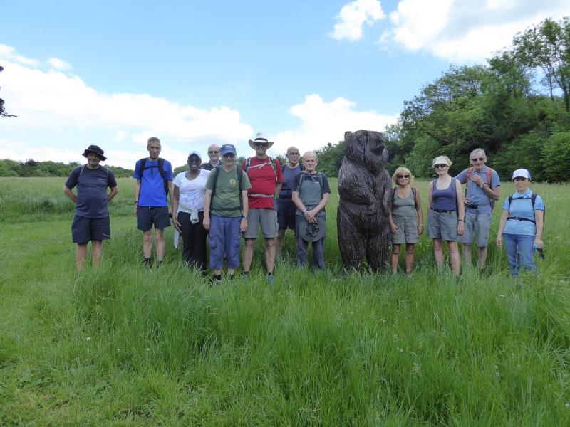
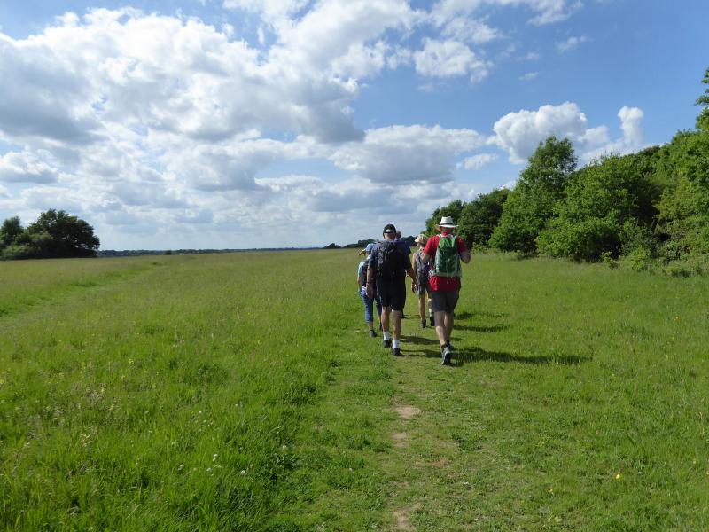
Caterham Cloudsplitter, Thursday 1st June 201713 walkers, 18 miles - leader Ken Fancett
The walk is one that I had designed myself to make maximum use of the open areas owned or managed by City of London Corporation, Borough of Croydon and Tandridge District. I also chose it because I love the chalkscape of the area and wished to share the pleasure it gives me with other members. As the title suggests much of it was on relatively high ground. It didn't follow promoted routes though from time to time promoted routes were following us.
There were 13 of us on the walk including me. Fortunately there were no train delays and the car parking suggestion apparently worked well, so we were able to start promptly at 11:00 and after a short morning section of 6.3 miles, we arrived at our lunch stop at 13:10.
We had a relatively long afternoon section of 12.6 miles which we started at 14:10. By the time we reached Kenley it was getting very warm (the Met Office had promised us 22C) and the long climb over the Common to the airfield, and some of the later climbs, felt quite exhausting in the warm weather. However we reached our finish point in Caterham about 18:40. The paths were reasonably dry and there were no unpleasant surprises.
I hope that everybody enjoyed the walk as much as I did. If anyone wants to know exactly where they walked I can supply a gpx file.
Photographs by Paul Lawrence
Other Files
Download Walk ReportGallery


Maps:
You can use the interactive controls to zoom in and out and to move around the map, or click on a marker for more info. (interactive map help)
Contains Ordnance Survey data © Crown copyright and database right 2016.
© OpenStreetMap contributors under Open Database Licence.
Rights of way data from selected Local Authorities.
Large scale digital mapping is provided by John Thorn.
© OpenStreetMap contributors under Open Database Licence.
Rights of way data from selected Local Authorities.
Large scale digital mapping is provided by John Thorn.


