


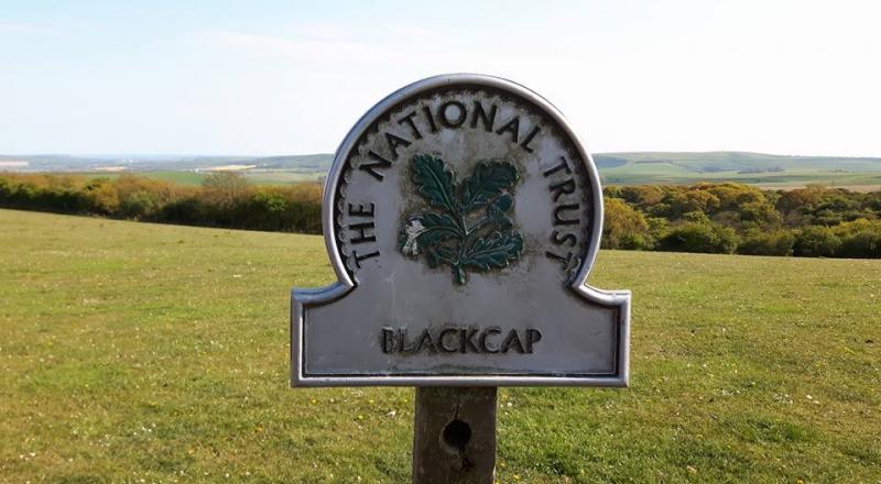
South Downs from Plumpton
Sat 29th Apr 2017
Walk Details:
Probably via Streat, Stanmer Down, Wolstonbury Hill, then SDW to Black Cap
Entry Details:
Walk Report
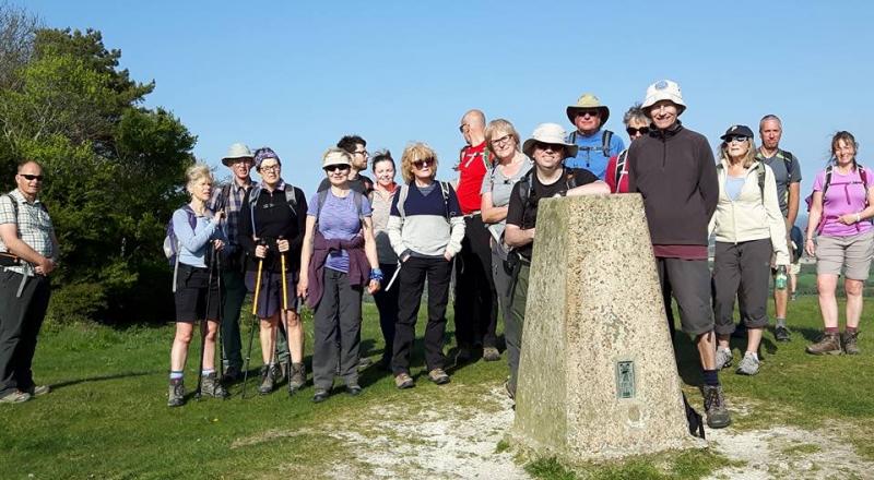
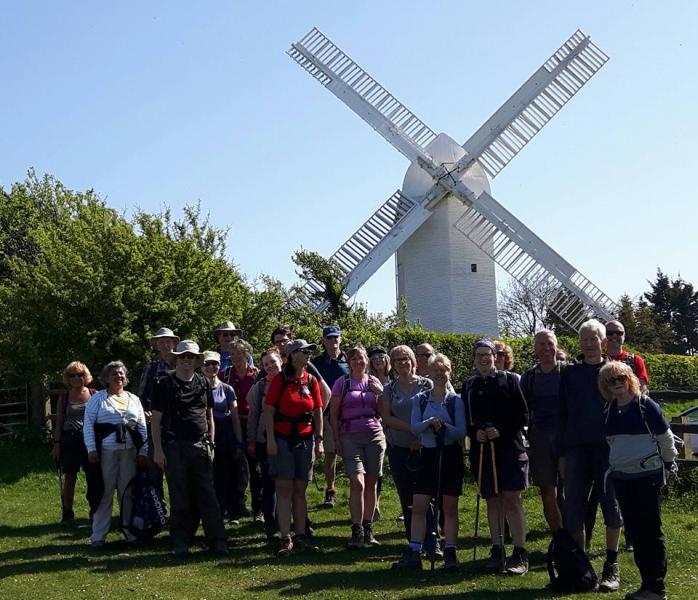
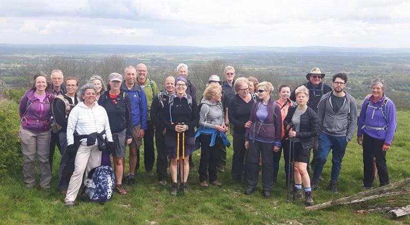
South Downs from Plumpton, Saturday 29th April 201724 walkers, 20 miles - leader Andy Davies
24 people including three non-members one of whom will be doing the Oxfam Trailwalker challenge covering some of the same ground in July.
The day started with near disaster courtesy of those exemplars of good management (fanfare please...) Southern Rail. The train was some ten minutes late at Clapham and when we reached Haywards Heath they announced that due to this delay the train would not stop at Plumpton! As instructed we alighted to seek advice at the station. Platform assistant had no idea, having the air of someone listening to something on headphones, though he was not wearing any. I noticed a Southern driver further along the platform and explained the situation to him. He 'phoned control - "I'm the driver waiting to take the next train on to Eastbourne in five minutes time and there's a large group of people here wanting to go to Plumpton who have been turfed off the previous train etc, etc." It was agreed that he would make an unscheduled stop at Plumpton. Employee of the month award please. Meanwhile the other walkers waiting for us called to say "er, the train we expected you to be on has just whizzed through the station". So, the walk started around thirty minutes late.
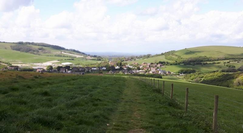
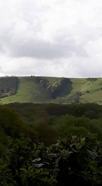
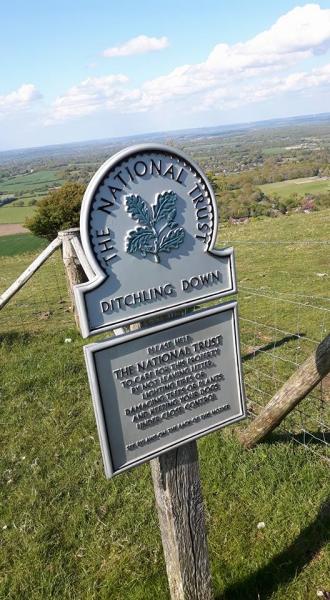
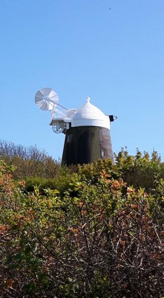
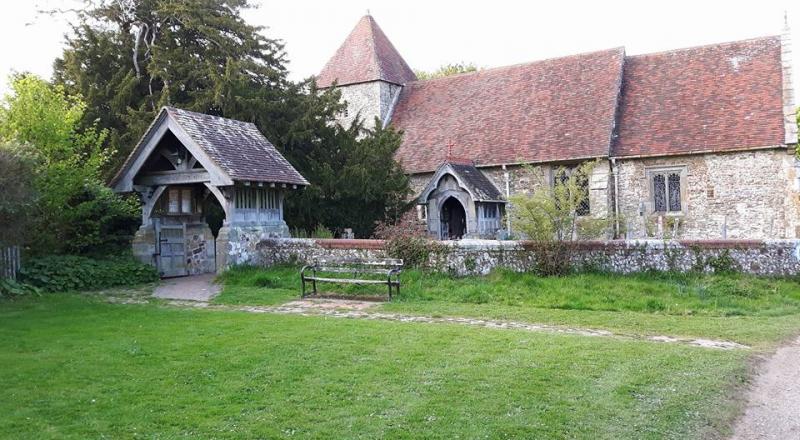
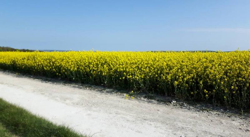
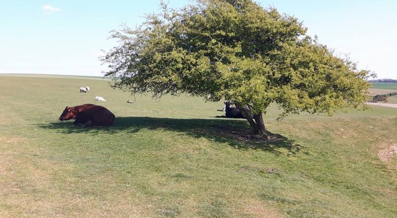
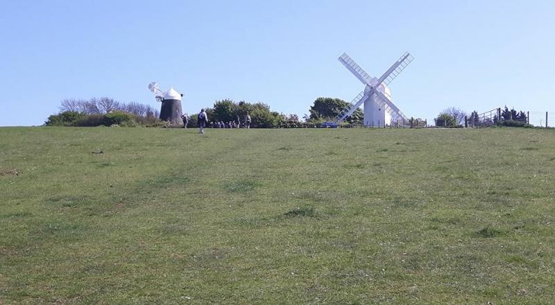
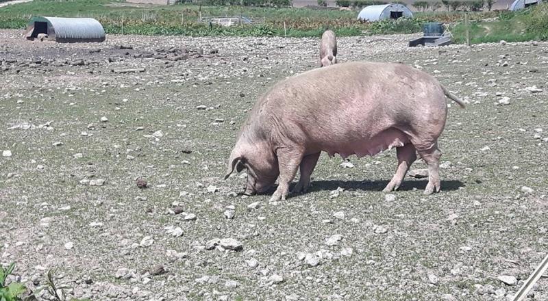
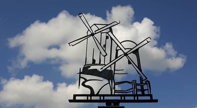
It was perfect weather, cool breeze, partly cloudy at first, very sunny later. The ground parched and cracked. Crystal clear views to the North Downs and Black Down, the sea to the south, Brighton and Seaford, the Devil's Dyke and Firle Beacon. Brighton football stadium nestling in the Downs - how did that get planning permission then? Around us cowslips, bluebells and wild garlic (some collected for culinary use). We passed two windmills, Jack and Jill and saw another, Oldland, in the distance.
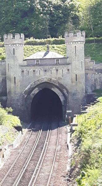
Good beer and food served at the Jack and Jill inn, though two of our number shamed us by eating their own food in the garden, pretending that I had said that was the village green! After lunch we peered down at Clayton railway tunnel which may have inspired Charles Dickens story 'The Signalman'.
We made it back in time for the 18:24 which was of course late. Various gadgets produced differing accounts of how many miles we had covered but two of them agreed on 20.7 so we will go with that, and a respectable 2780 feet of ascent.
A good walk in good company.
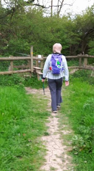
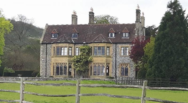
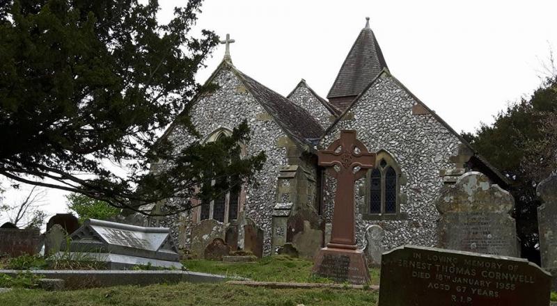
Photos by Bola Baruwa; more by Bola and Gavin Fuller on the group Facebook page
Other Files
Download Walk ReportGPX
A GPX file of the above route may be downloaded by clicking the link below.
Note: GPX files of Group Walks are created by LDWA Group members, and may be downloaded only by other LDWA members. They should not be made available outside the LDWA, and are used at members' own risk.
Login to Download (Members Only)You can use the interactive controls to zoom in and out and to move around the map, or click on a path or a marker for more info. (interactive map help)
You can use the interactive controls to zoom in and out and to move around the map, or click on a path or a marker for more info. (interactive map help)
© OpenStreetMap contributors under Open Database Licence
Rights of way data from selected Local Authorities
Large scale digital mapping is provided by John Thorn
At high zoom levels the route is indicative only.
Gallery


Maps:
You can use the interactive controls to zoom in and out and to move around the map, or click on a marker for more info. (interactive map help)
© OpenStreetMap contributors under Open Database Licence.
Rights of way data from selected Local Authorities.
Large scale digital mapping is provided by John Thorn.


