


Alton's northern territories
Sat 24th Sep 2016
Walk Details:
A circular route exploring the wooded hillsides and hamlets of quiet Hampshire.
The route is via Shalden, Bentworth, Bradley. Return via Shalden and Anstey and aim to get the 17.15 train. A shorter route in the afternoon is possible for anyone who needs an earlier finish.
Entry Details:
Walk Report
Alton's Northern Territories, Saturday 24th September 201617 walkers and one dog, 19.6 miles - leader Jerome Ripp
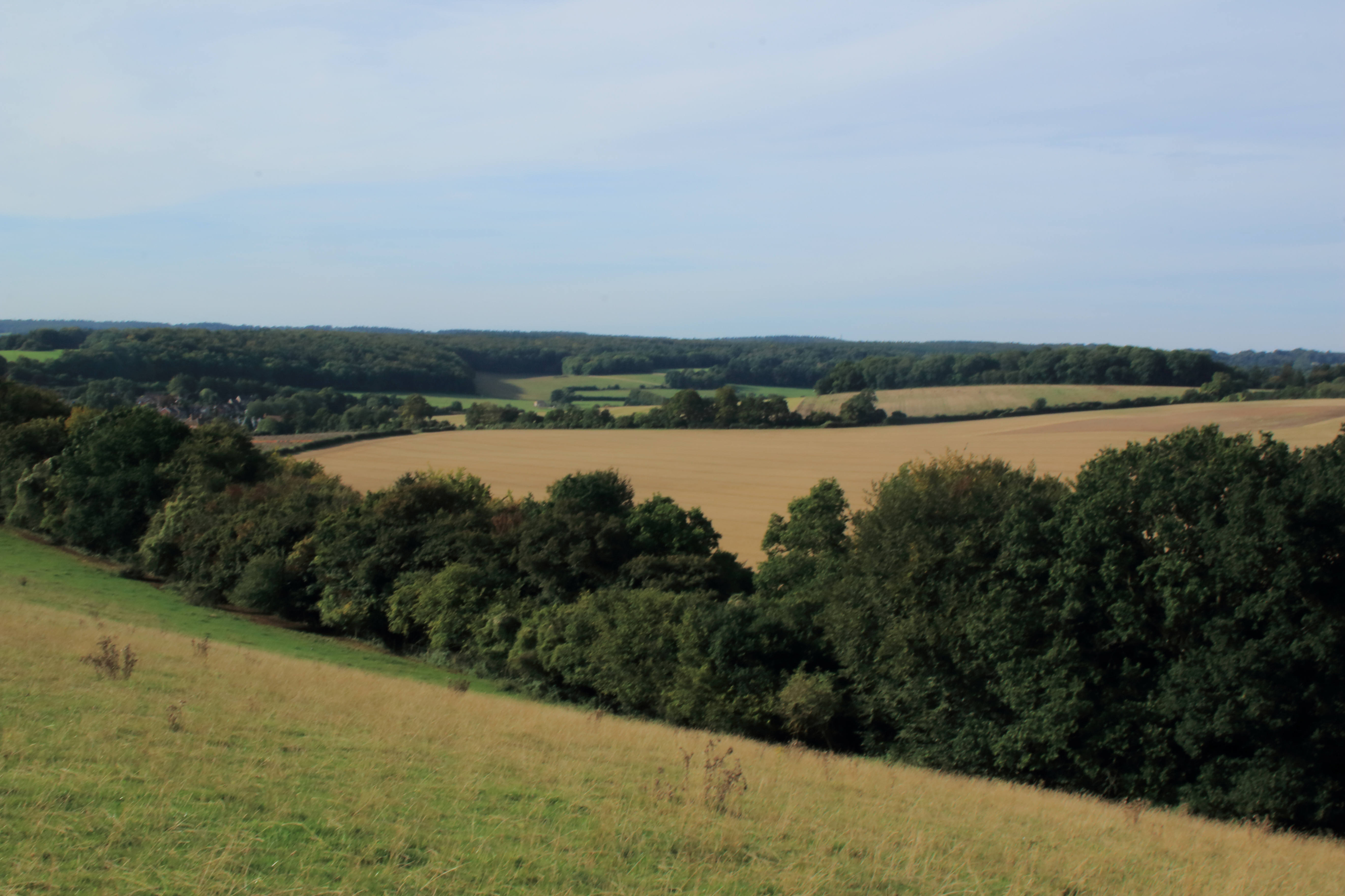
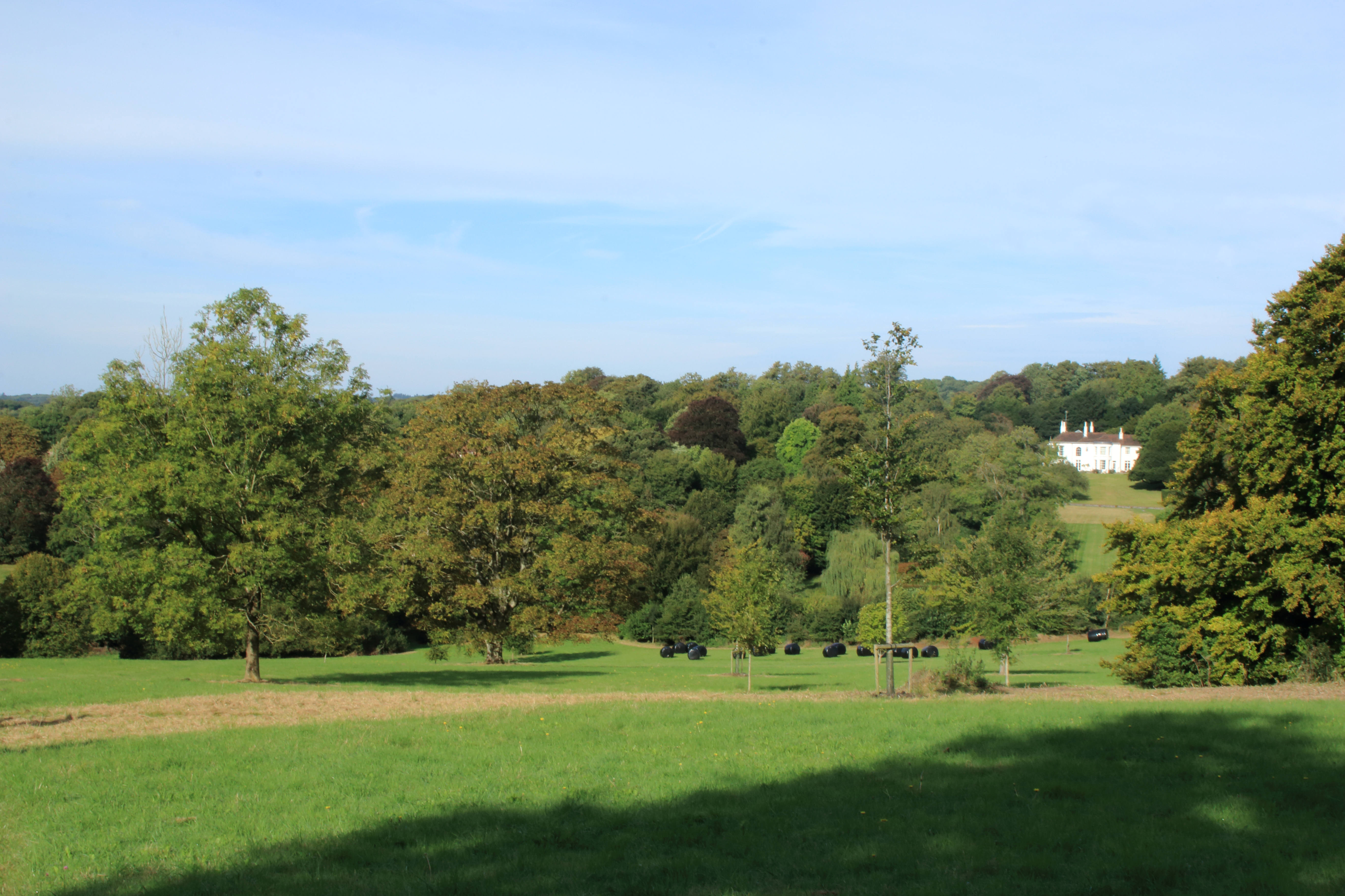
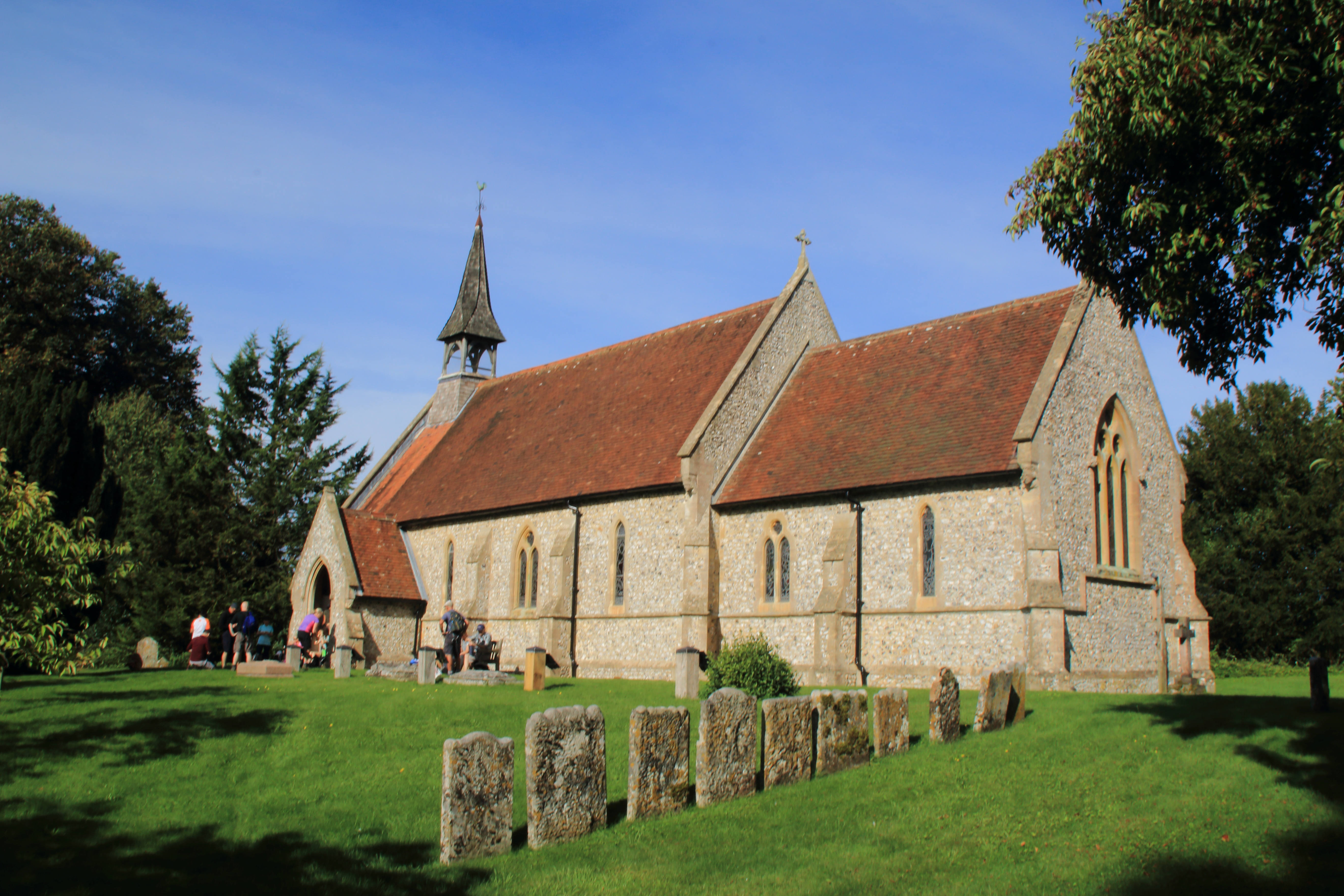
A fine late summer day, perfect weather for an enjoyable walk in the quiet woods and commons of Hampshire. We were soon out of Alton on a lovely hilltop where we did a circuit to fully appreciate the glorious views. Any suggestion that the leader had made a mistake were of course quite inaccurate. Morning break at Shaldon church where we followed briefly the route of the Wessex 100 in reverse, which some of the group had done. Through the village of Bentworth and on to Bradley where we followed some of the 3 Castles Way which runs from Windsor to Winchester. More woods before a well-deserved late lunch after 12.6 miles at Herriard. A renegade group of 6 decided to leave early; the rest of us went at a cracking pace covering 7 miles in just over 2 hours via Shaldon again and another stretch of the "100" to return to Alton via Anstey and in time for the 16.44 train. Much enjoyed by the group, especially the few extra's "off piste" that the leader though in from time to time to keep everyone on their toes!
Photographs by Gavin Fuller
Other Files
Download Walk ReportGPX
A GPX file of the above route may be downloaded by clicking the link below.
Note: GPX files of Group Walks are created by LDWA Group members, and may be downloaded only by other LDWA members. They should not be made available outside the LDWA, and are used at members' own risk.
Login to Download (Members Only)You can use the interactive controls to zoom in and out and to move around the map, or click on a path or a marker for more info. (interactive map help)
You can use the interactive controls to zoom in and out and to move around the map, or click on a path or a marker for more info. (interactive map help)
© OpenStreetMap contributors under Open Database Licence
Rights of way data from selected Local Authorities
Large scale digital mapping is provided by John Thorn
At high zoom levels the route is indicative only.
Gallery


Maps:
You can use the interactive controls to zoom in and out and to move around the map, or click on a marker for more info. (interactive map help)
© OpenStreetMap contributors under Open Database Licence.
Rights of way data from selected Local Authorities.
Large scale digital mapping is provided by John Thorn.


