


Radley to Cholsey on Thames Path (linear) - SLIGHTLY EARLIER
Sun 22nd May 2016
Walk Details:
Easy but longer linear walk on the Thames Path in rural Oxfordshire, on towpaths visiting attractive riverside towns. Starts Radley and finishes Cholsey about 17.30-18.30
Entry Details:
Walk Report
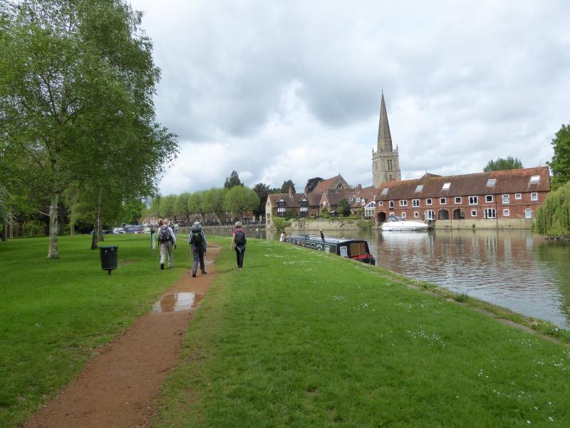
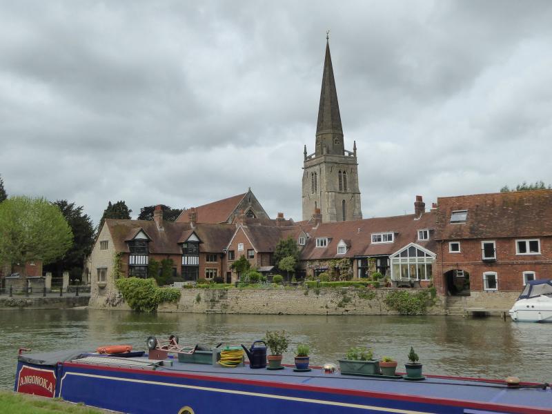
Radley to Cholsey on the Thames Path, Sunday 22nd May 20166 walkers, 22.3 miles - leader Paul Lawrence
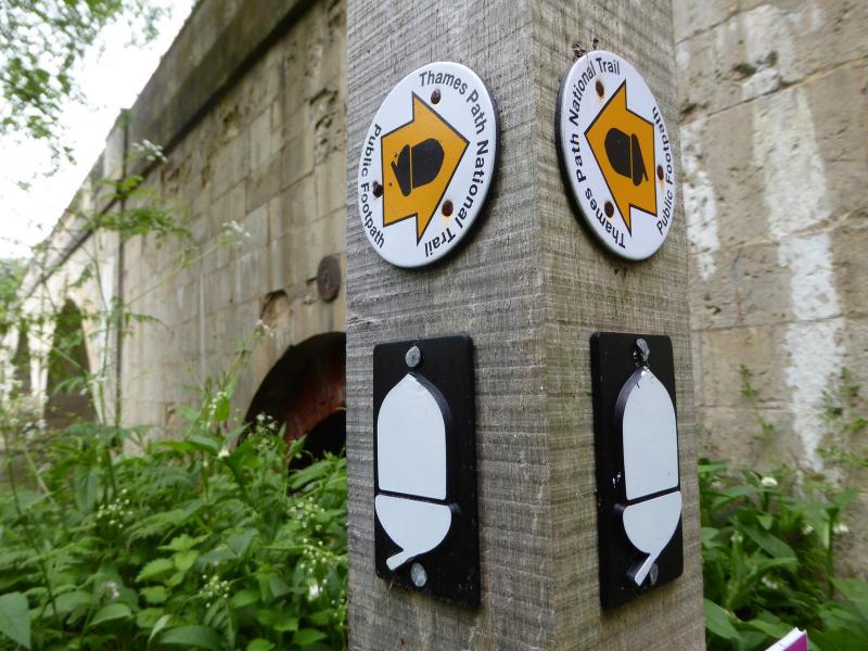
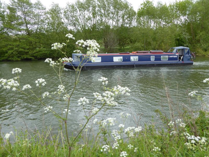
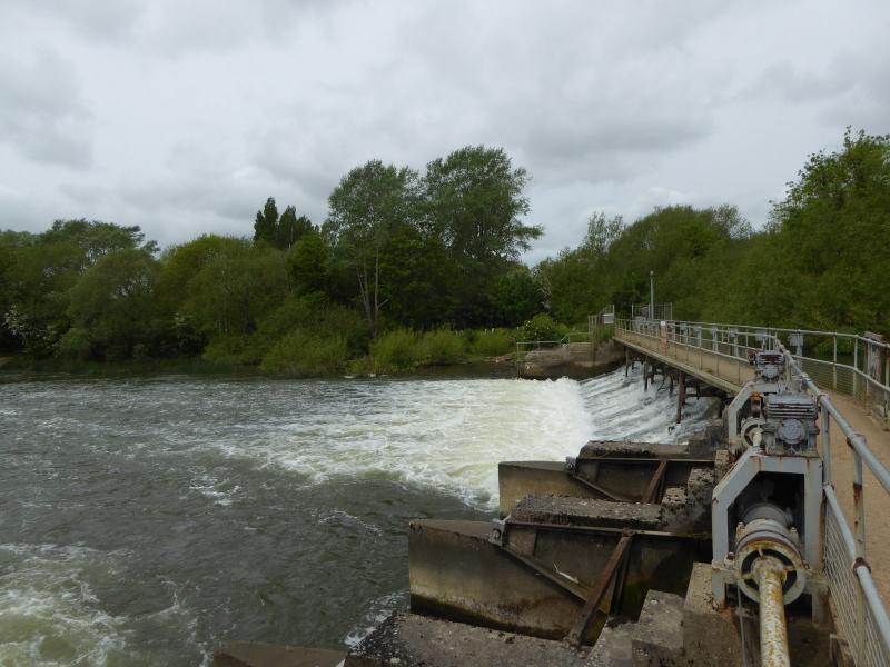
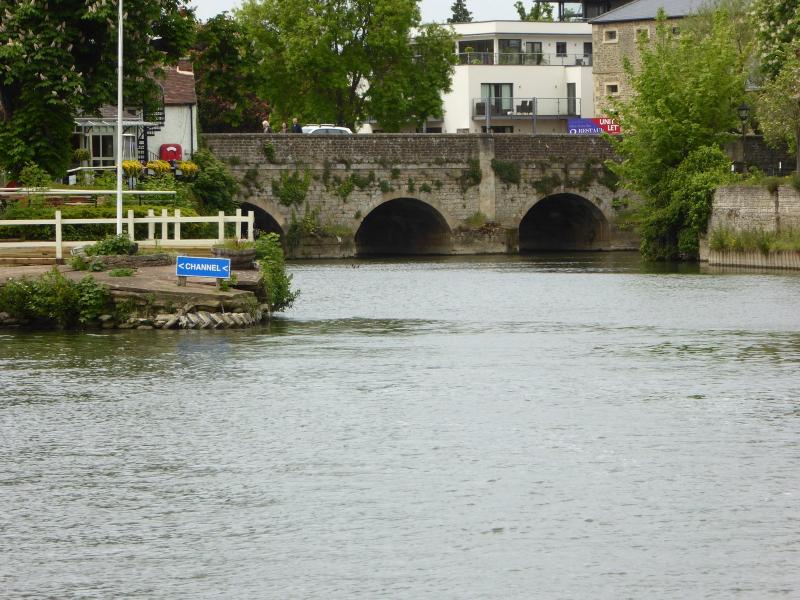
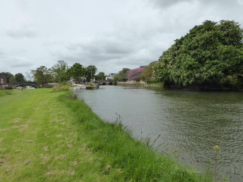
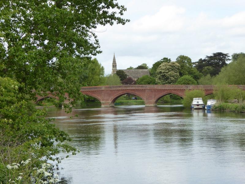
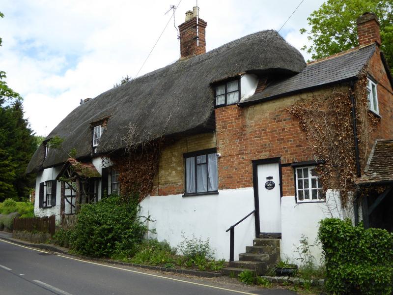
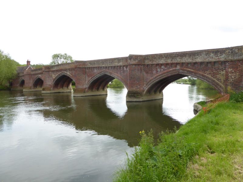
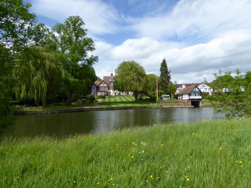
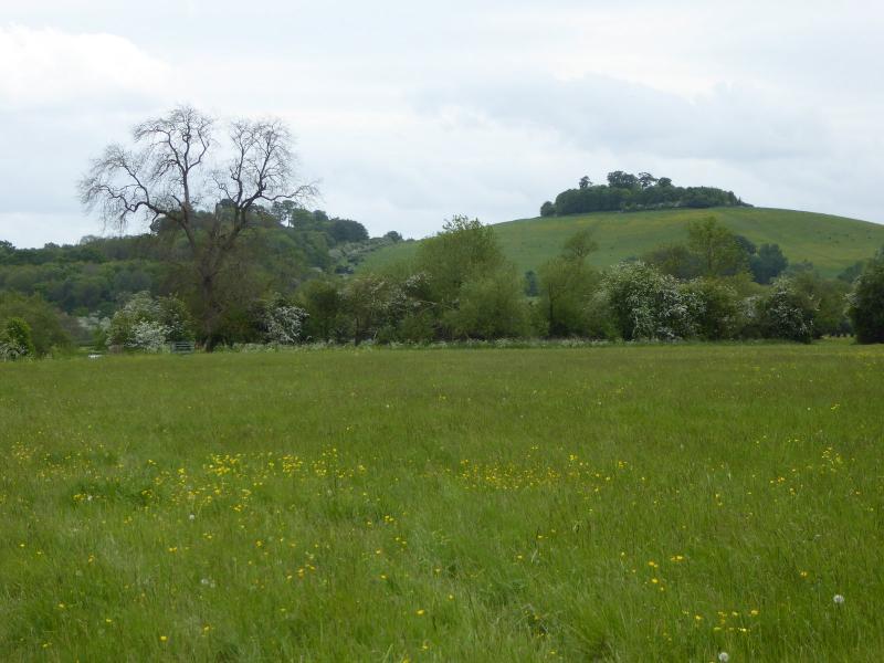
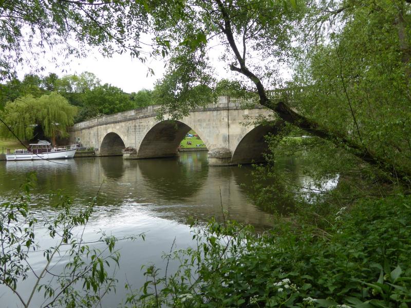
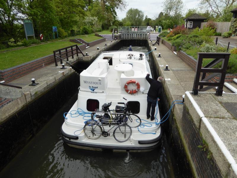
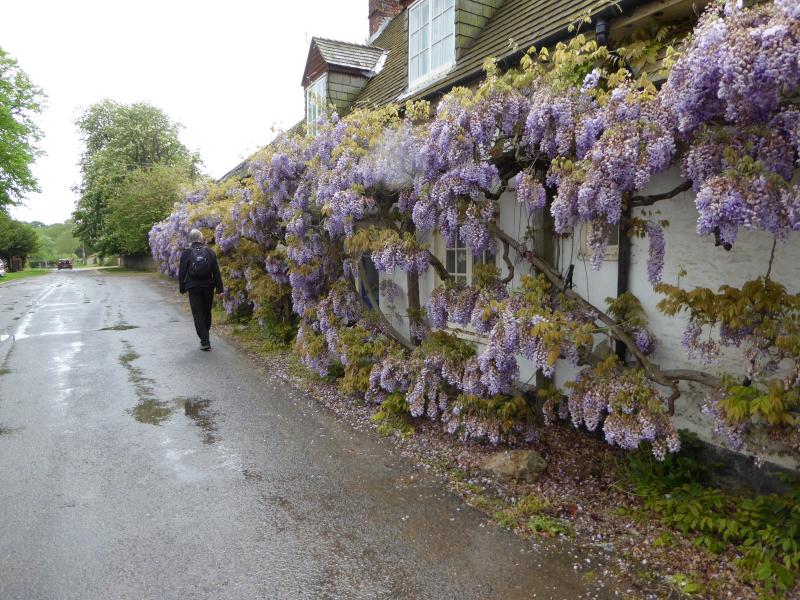
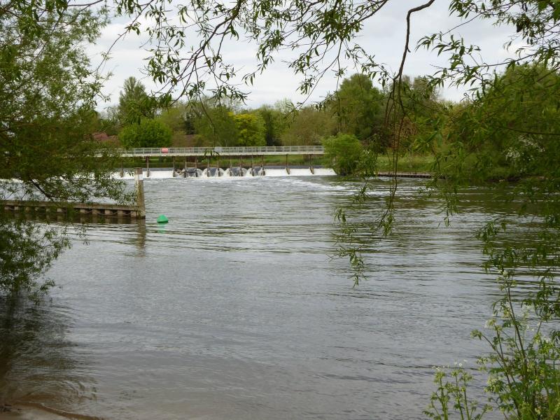
A rural section of the Thames Path almost all along the river away from habitations and railways, and with little sight of roads, much on lush water meadows (but very few cows, why?). Much is quiet with the only noisy interruptions from a moto-cross bike event across the river. Past attractive towns - Abingdon and Wallingford the largest and worth a separate visit. Wittenham Clumps, famous for a painting by Paul Nash, are long in view around a curve in the meandering river. Half a shower, although the other heavier half of it fell further along and made for slippery going on the final miles. Tea at Benson Waterfront cafe fortified us, with some later taking the convenient bus option from Wallingford, still at almost 20 miles and they had come all the way from Chingford taking 3 hours. The leader picked up a few tips for his planning of the upstream sections (thanks Richard!) hopefully to be completed soon, so as tick of this full route as completed. The Aurum guidebook is a useful companion to this historic river.
Photographs by Paul Lawrence
Other Files
Download Walk ReportGPX
A GPX file of the above route may be downloaded by clicking the link below.
Note: GPX files of Group Walks are created by LDWA Group members, and may be downloaded only by other LDWA members. They should not be made available outside the LDWA, and are used at members' own risk.
Login to Download (Members Only)You can use the interactive controls to zoom in and out and to move around the map, or click on a path or a marker for more info. (interactive map help)
You can use the interactive controls to zoom in and out and to move around the map, or click on a path or a marker for more info. (interactive map help)
© OpenStreetMap contributors under Open Database Licence
Rights of way data from selected Local Authorities
Large scale digital mapping is provided by John Thorn
At high zoom levels the route is indicative only.
Gallery


Maps:
You can use the interactive controls to zoom in and out and to move around the map, or click on a marker for more info. (interactive map help)
© OpenStreetMap contributors under Open Database Licence.
Rights of way data from selected Local Authorities.
Large scale digital mapping is provided by John Thorn.


