


Primrose Hill to Bloomsbury
Wed 12th Aug 2015
Walk Details:
Event Type
Group Walk
Region
Southern England
Local Group
London
Distance
7ml.
Start Time
18.15
Route
Meet at Chalk Farm tube
Camden, St Pancras, Kings Cross and Bloomsbury to Tott. Ct Rd tube
Web Site
Start and Finish
Entry Details:
Cost
Walk Report
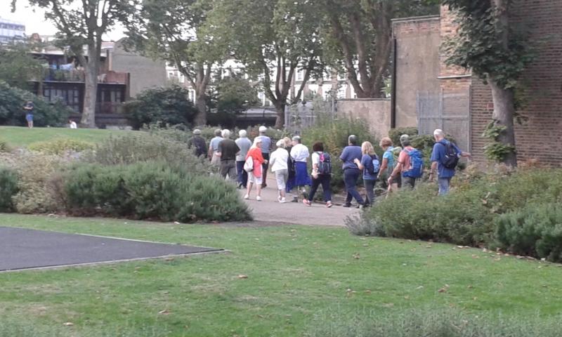
Primrose Hill to Bloomsbury, Wednesday 12th August 201518 walkers, 7 miles - leader Christopher Hedley
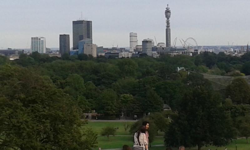
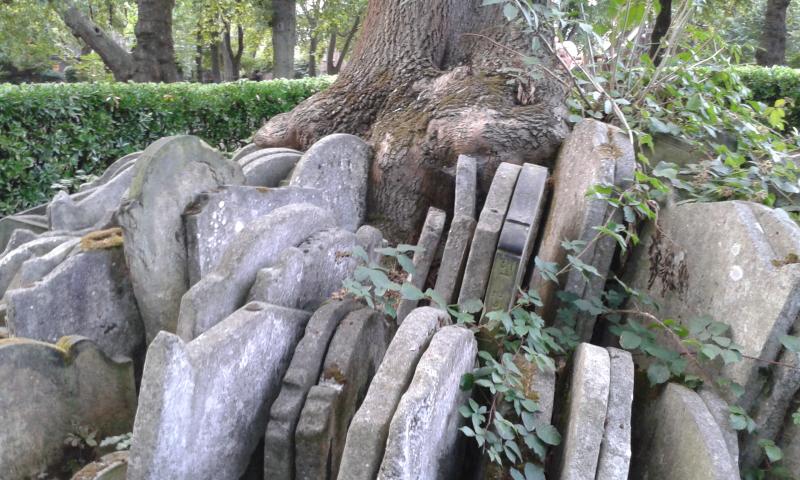
On a balmy, sunny August evening, the 7 mile walk started with a "climb" up Primrose Hill for that excellent view of Central London - the Shard somehow looked like it was made of gossamer-thin fabric in the fading light. Then on through Regent's Park with ten games of softball being played happily by people of all ages to the vibrancy of Camden High Street and through the first of several churchyards, passing a Greek Orthodox church and the Vet College before one of the highlights, Old St Pancras Churchyard with the Hardy Tree where Thomas H had organised headstones to be moved from another burial ground to allow the building of the mainline railway. An ash tree grows happily through these headstones. We also saw the fine mausoleum that Sir John Soane designed for himself and his family.
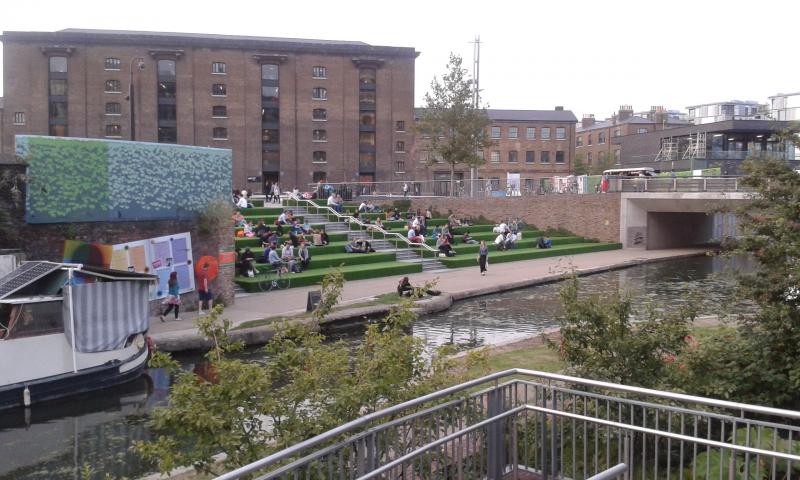
Crossing under the railway, we skirted round the closed Camley Street Nature Reserve to enter the magnificently refurbished old granary building and old goods yard in Kings Cross, which is now the home of London University of the Arts. Walking down between Kings Cross and St Pancras International, we then crossed into Bloomsbury to do a blanket-stitch walk crossing from square to square, passing many wonderful Georgian residences, the Thomas Coram Museum, Great Ormond Street Hospital, the old Horse Hospital building, the Dickens Museum and much more.
Photographs by Roderick Smith
Other Files
Download Walk ReportGallery

Maps:
You can use the interactive controls to zoom in and out and to move around the map, or click on a marker for more info. (interactive map help)
Contains Ordnance Survey data © Crown copyright and database right 2016.
© OpenStreetMap contributors under Open Database Licence.
Rights of way data from selected Local Authorities.
Large scale digital mapping is provided by John Thorn.
© OpenStreetMap contributors under Open Database Licence.
Rights of way data from selected Local Authorities.
Large scale digital mapping is provided by John Thorn.


