


Not the Jubilee Walk Part 1
Wed 25th Jul 2012
Walk Details:
Event Type
Group Walk
Region
Southern England
Local Group
London
Distance
8ml.
Start Time
18.00
Route
Start British Museum (Mortimer Street Entrance by the lions). Finish Embankment
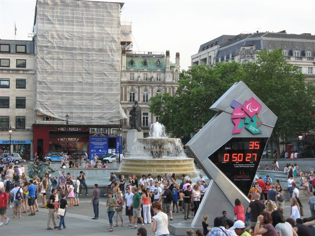
The walk will roughly follow the route of the Jubilee walk but use backstreets and green spaces instead of main roads. As it is only 2 days before the opening of the Olympic Games this will be proceeded by a sports tour of the British Museum. Start British Museum 16.45 (Mortimer Street Entrance by the lions)
Web Site
Start and Finish
Entry Details:
Cost
Walk Report
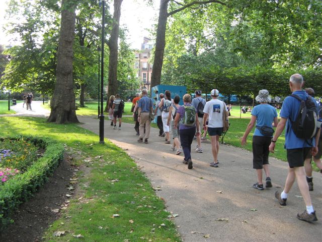
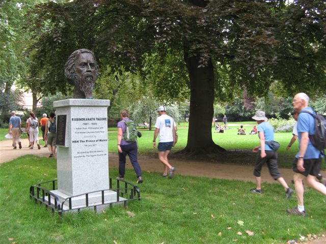
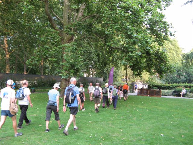
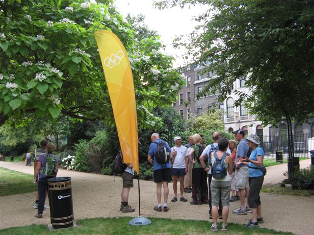
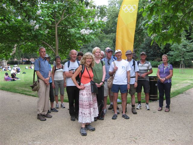
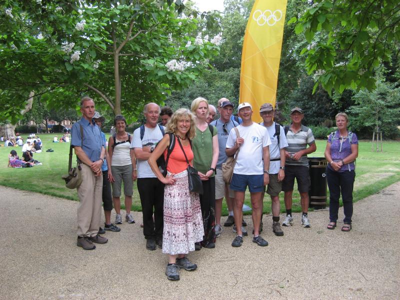
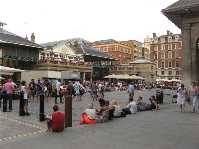
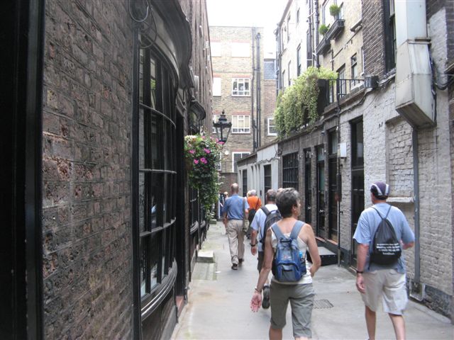
Not the Jubilee Walk Part 1, Wednesday 25th July 201215 walkers, 8 miles - leader Susanne Waldschmidt
First a sincere apology for all the confusion about the starting point. This was not helped by the British Museum deciding to cover up its lions on Montague Place. In spite of this act of sabotage the resourcefulness and ingenuity of LDWA members, who managed to read between the lions,* won the day. I do hope nobody was left abandoned in Mortimer Street!!
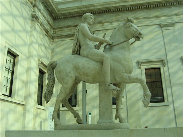
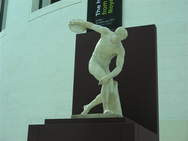
7 of us were present for the Ancient Olympic Games Tour and we were joined by more.
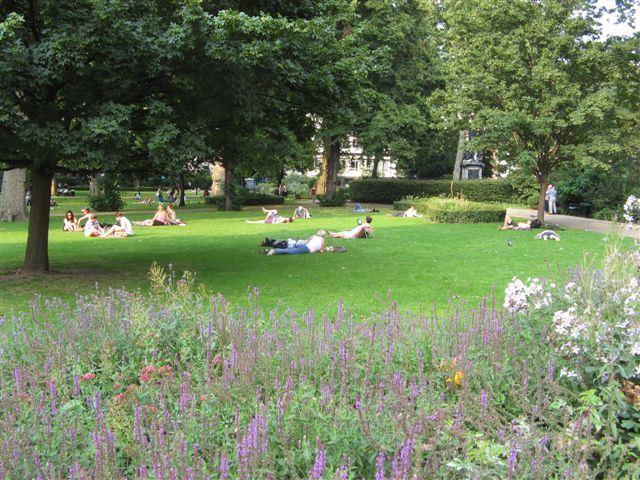
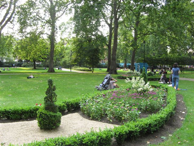
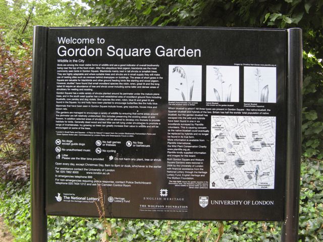
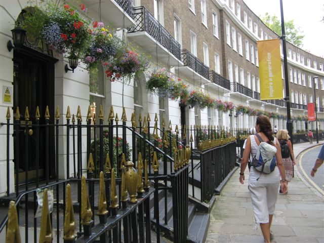
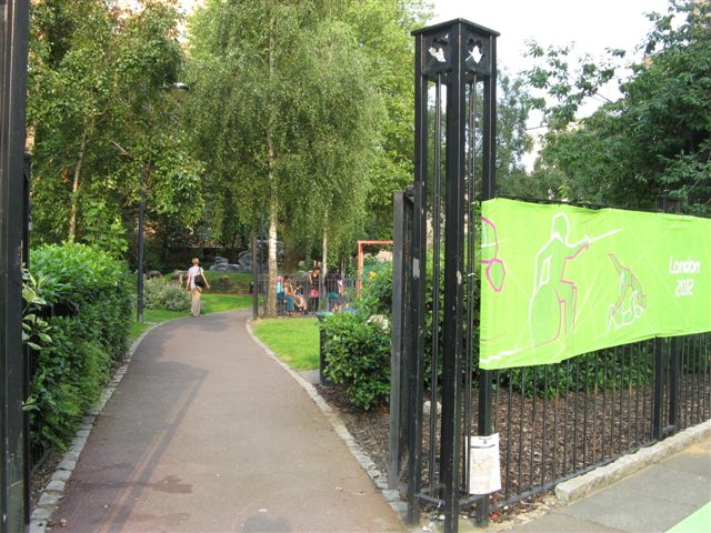
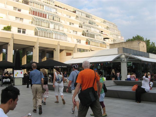
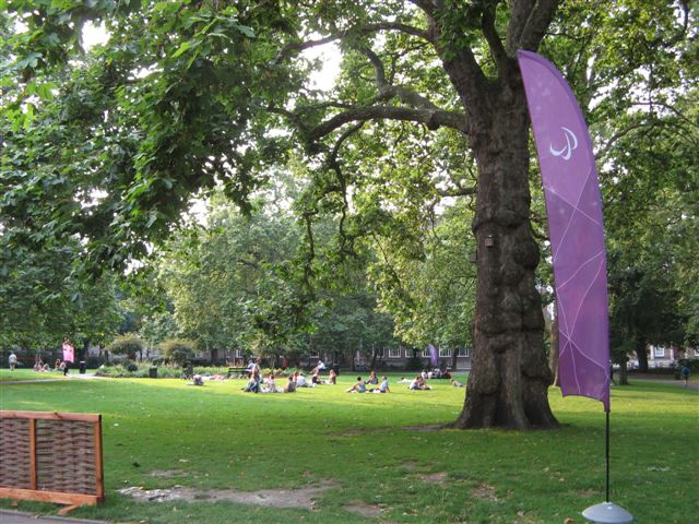
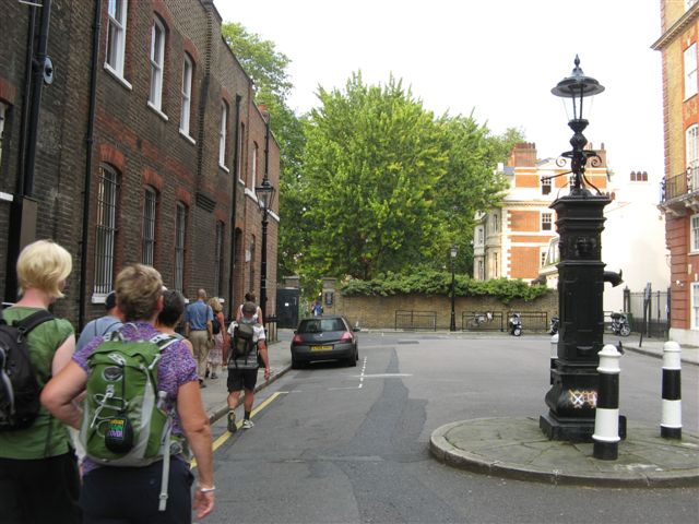
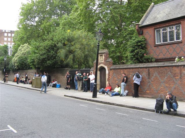
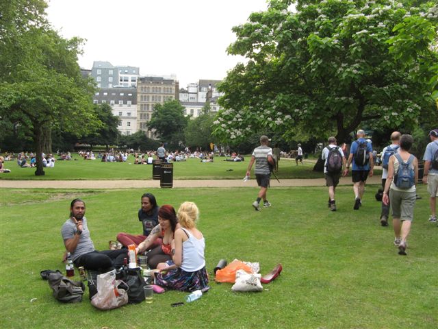
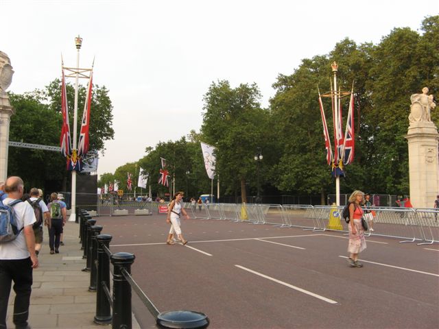
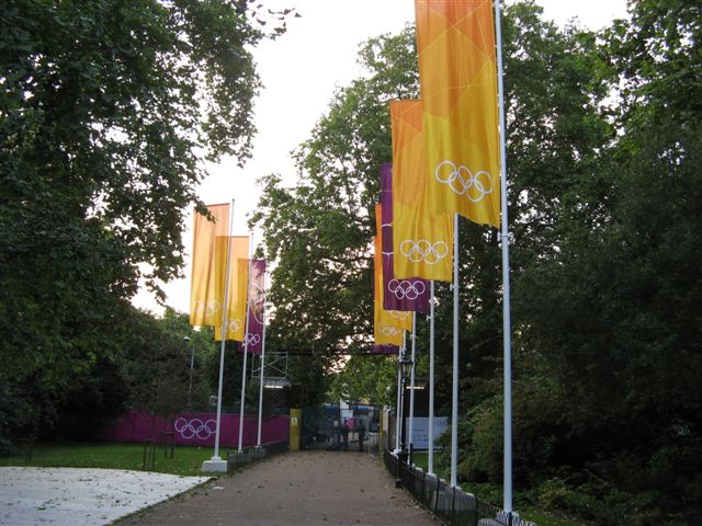
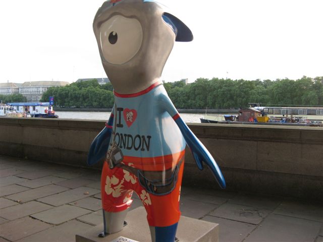
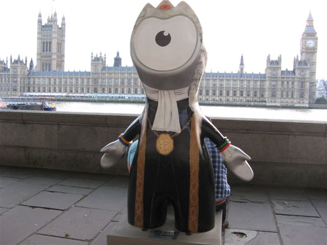
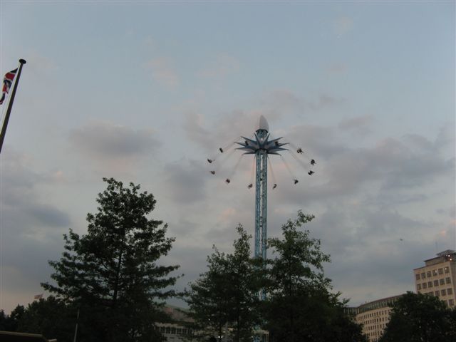
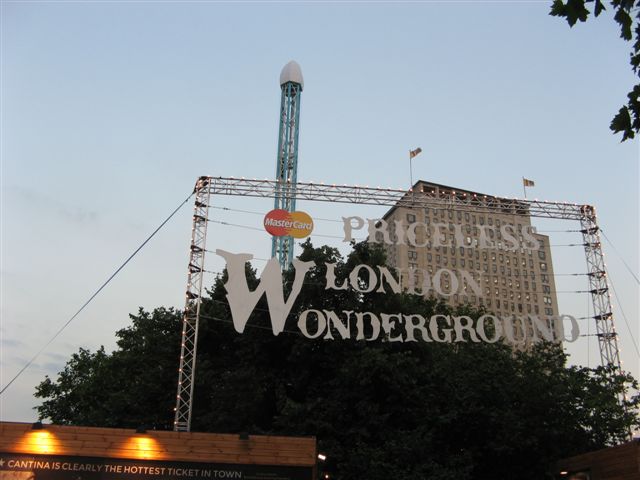
15 of us set off in sweltering temperatures to explore the leafy spaces and back streets of London. There were security barriers and Olympic Road closures to negotiate but fortified with an ice-cream we finally got into St James Park. The sky-high Merry-go-round on the South Bank was indeed a wonder to behold but it was agreed that the children's Carousel at ground level looked more appealing. Finally our resident Wetherspoons expert guided us to the nearest hostelry for well deserved refreshment. Regrettably his services will not be available on the next Jubilee Walk as he will be otherwise engaged.
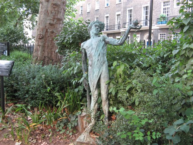
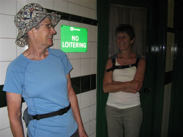
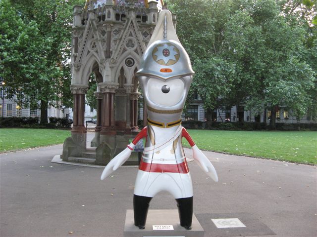
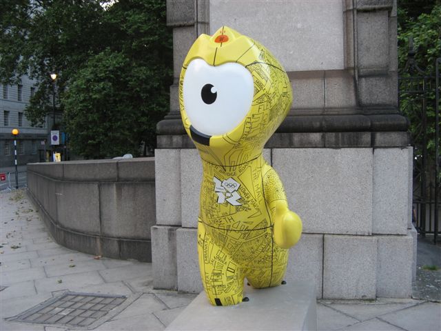
Photos are available on the website and include a naked athlete and some rather dodgy looking characters in the ladies' loo in Lincolns Inn Fields.
*The perpetrator of this truly dreadful pun will be thrown to the proverbial beasts if he hasn't already been banished to deepest Shropshire.
Other Files
Download Walk ReportGallery


Maps:
You can use the interactive controls to zoom in and out and to move around the map, or click on a marker for more info. (interactive map help)
Contains Ordnance Survey data © Crown copyright and database right 2016.
© OpenStreetMap contributors under Open Database Licence.
Rights of way data from selected Local Authorities.
Large scale digital mapping is provided by John Thorn.
© OpenStreetMap contributors under Open Database Licence.
Rights of way data from selected Local Authorities.
Large scale digital mapping is provided by John Thorn.


