


A May Day on the Downs
Sun 29th May 2022
Walk Details:
A hilly route on and off the South Downs Way. The walk is based on previous walks that I have led but there has not been a recent recce; there may be some surprises!
Entry Details:
Walk Report
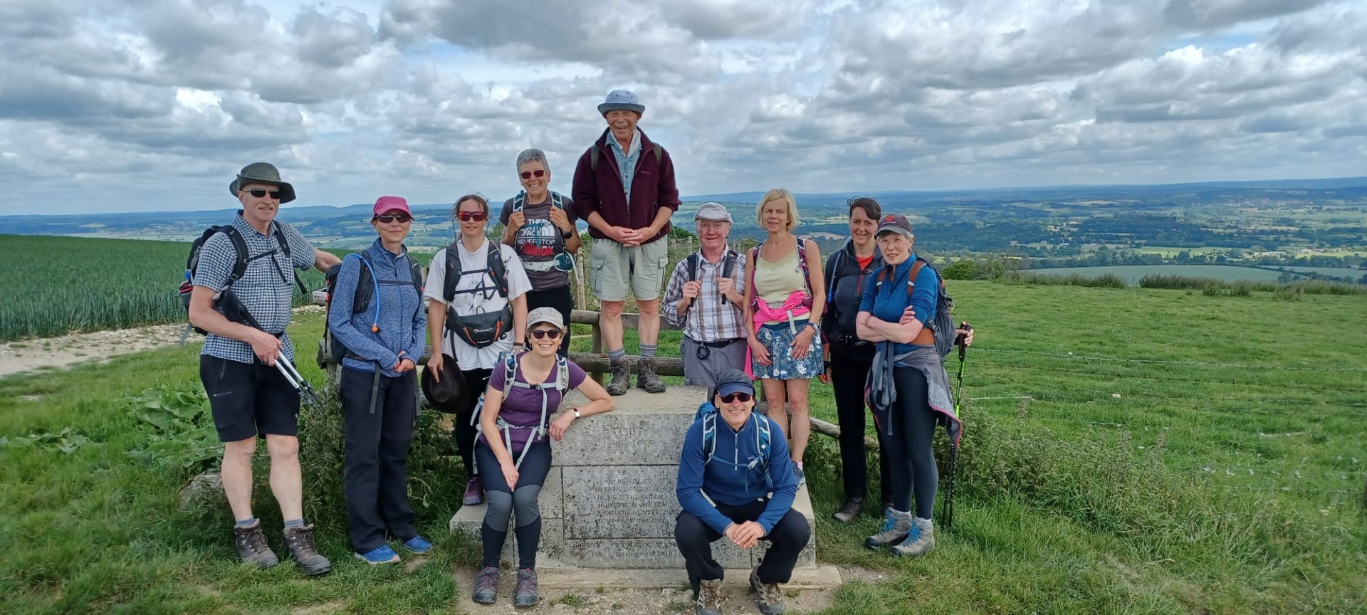
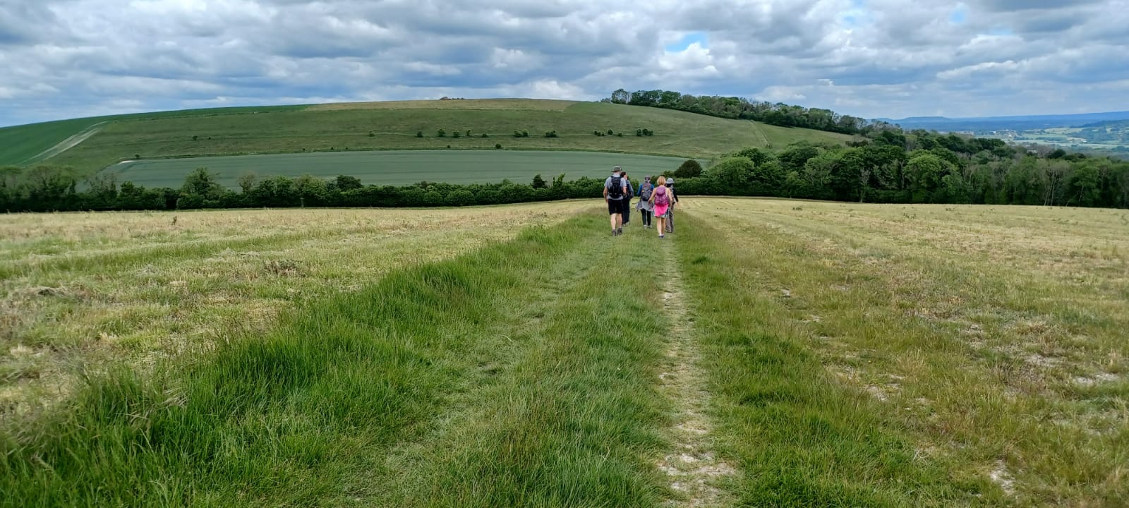
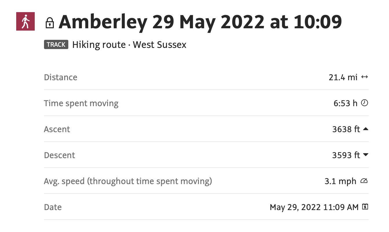
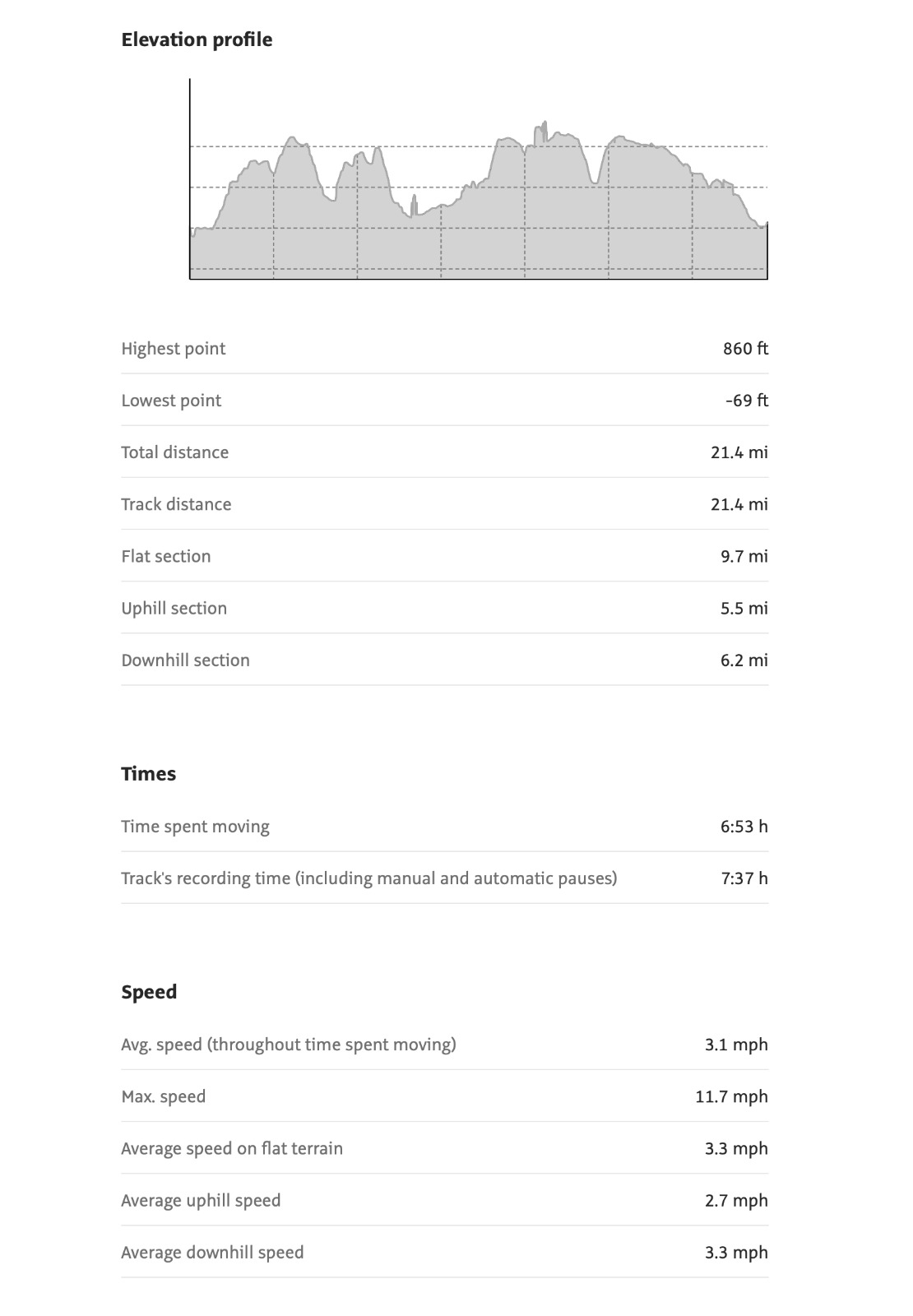
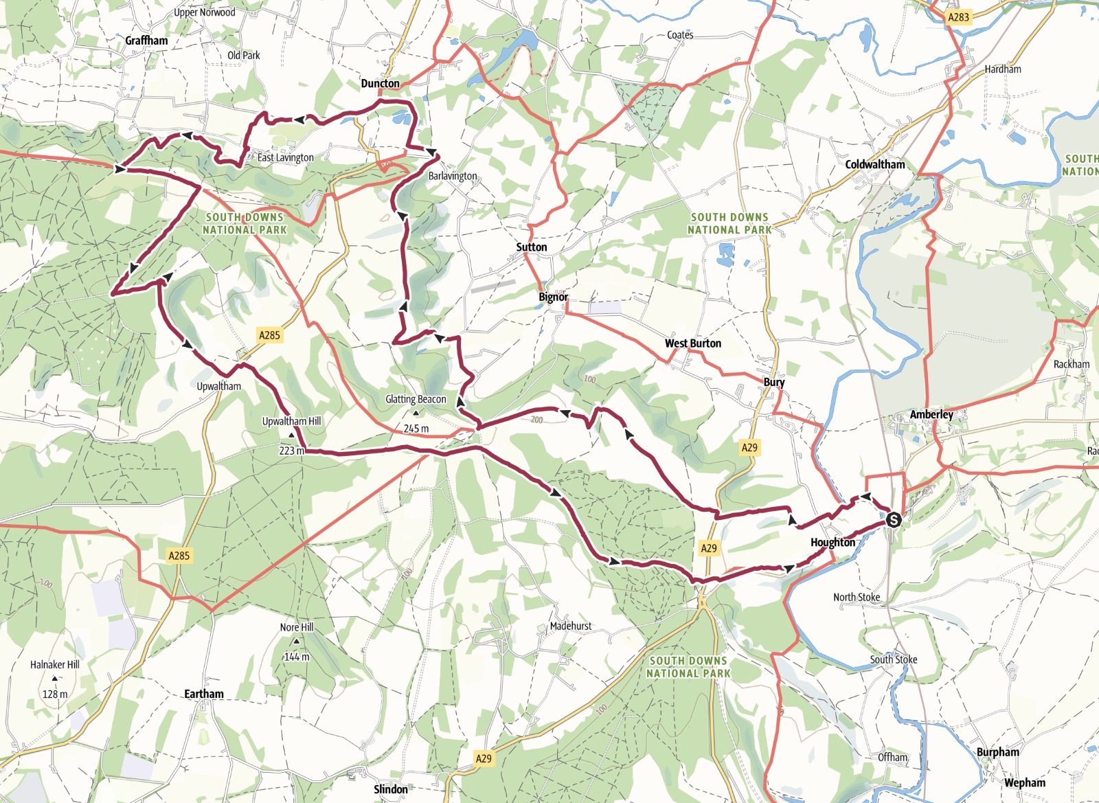
A May day on the Downs Circular from Amberley Station12 Walkers 21.5 miles - leader `Jerome Ripp
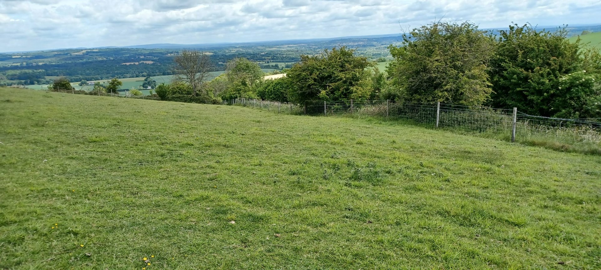
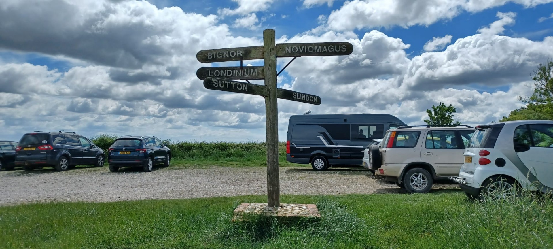
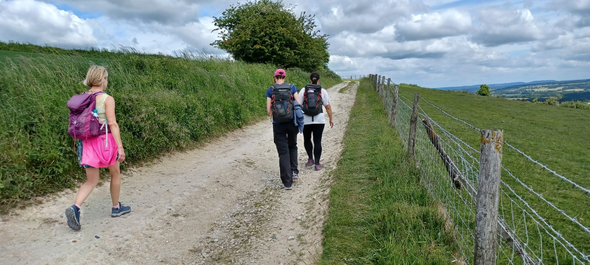
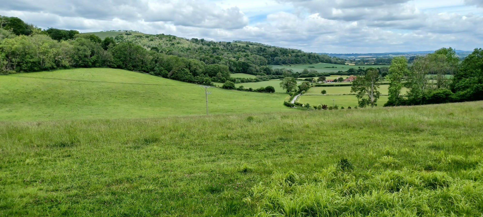
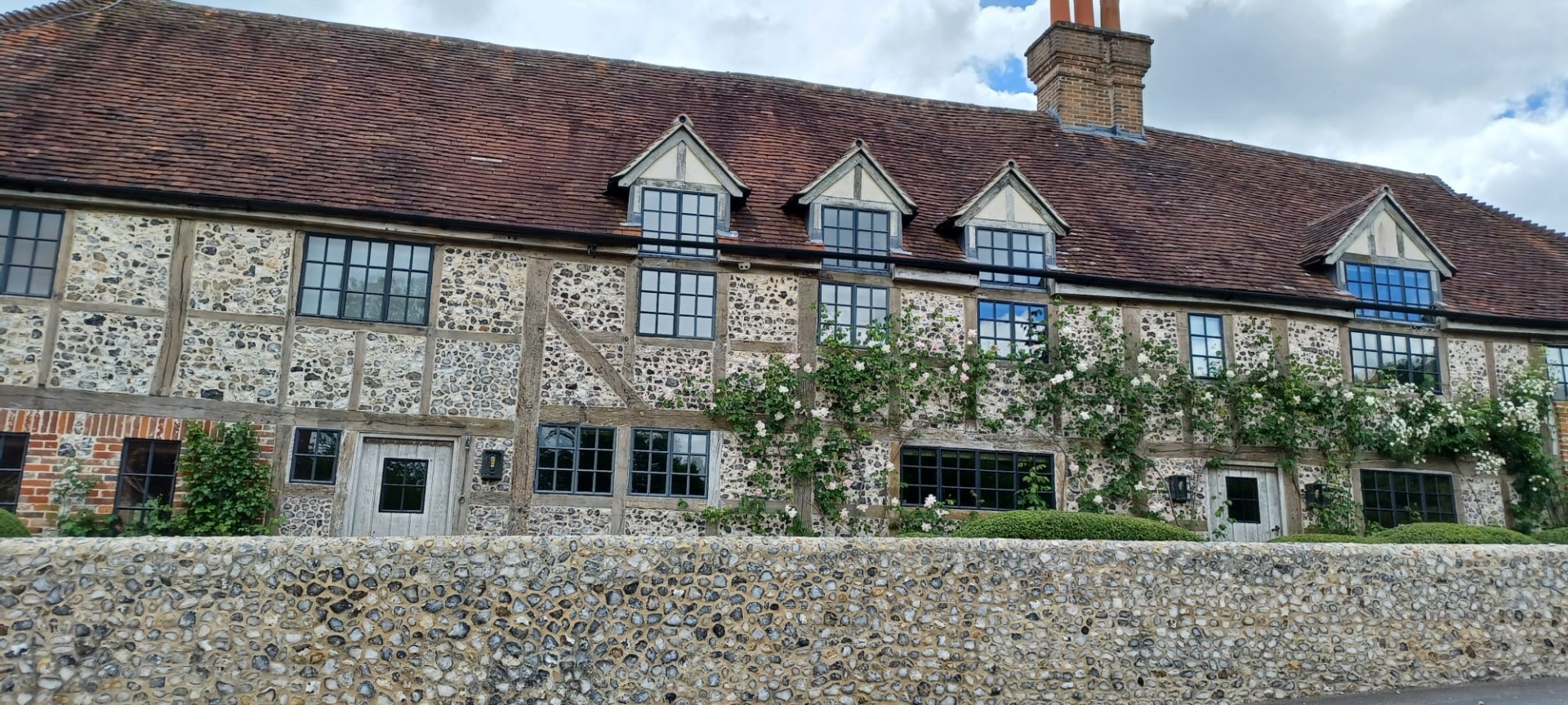
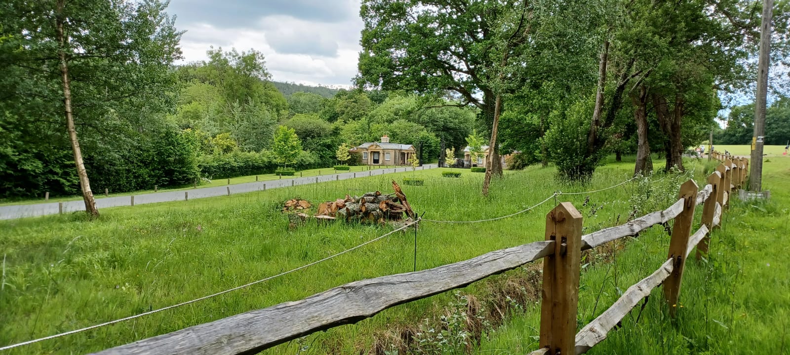
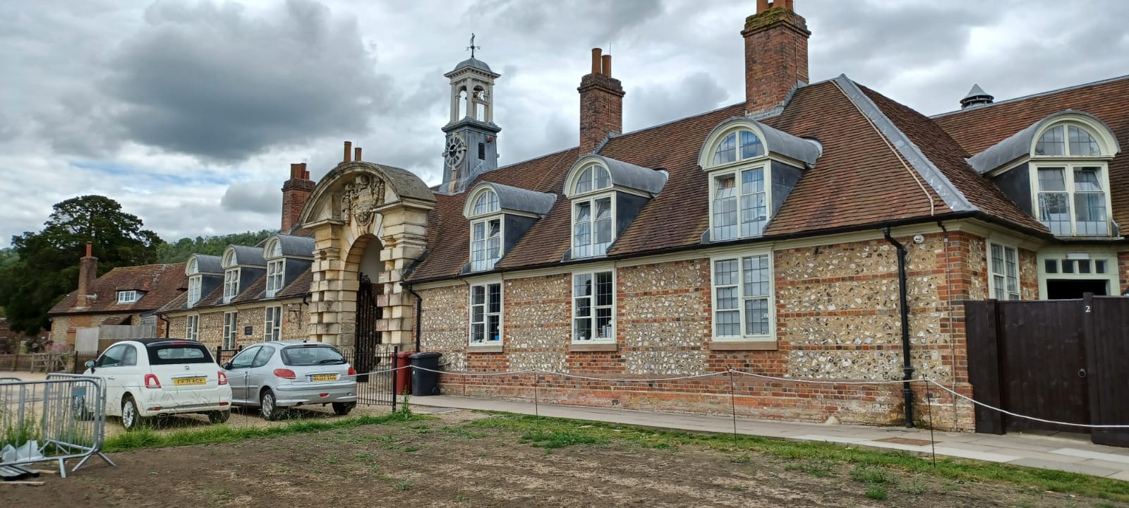
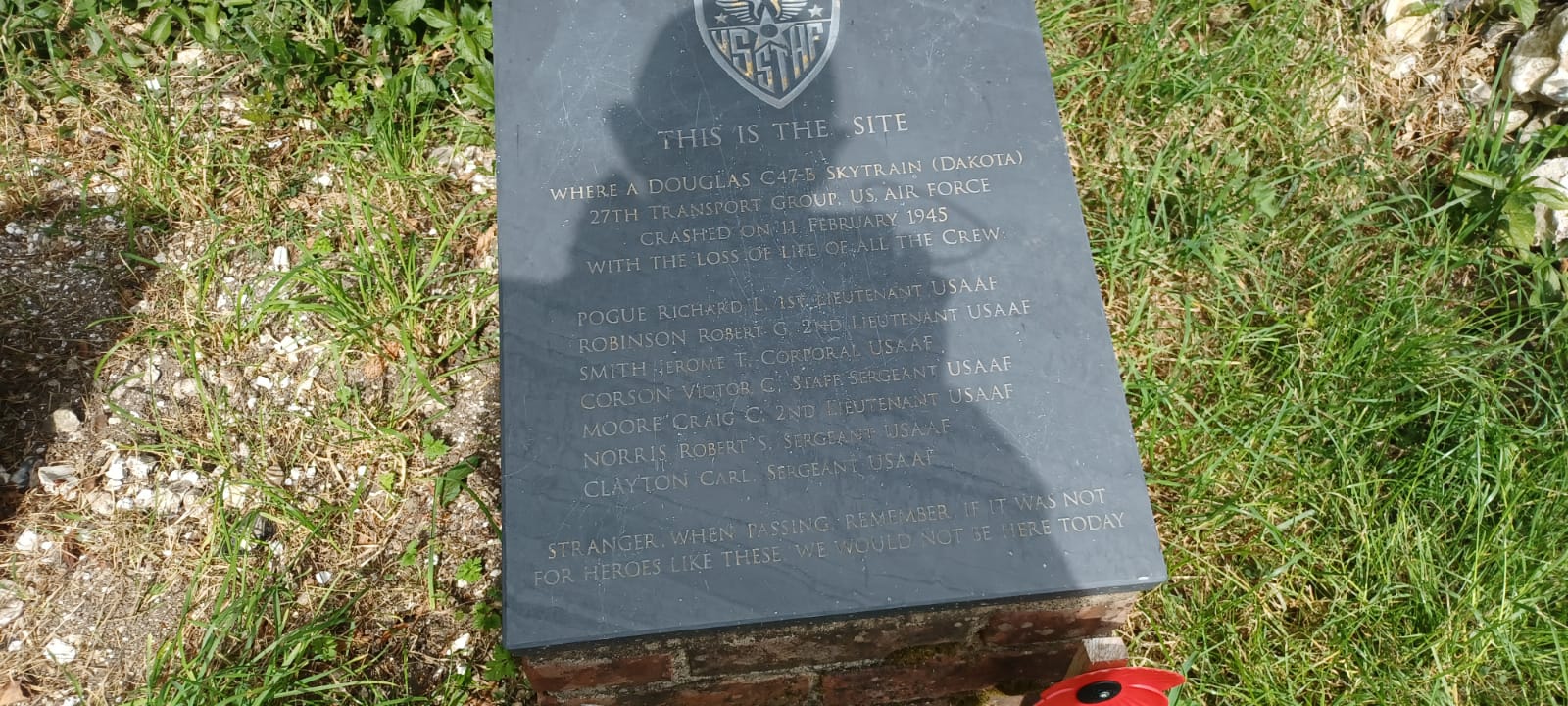
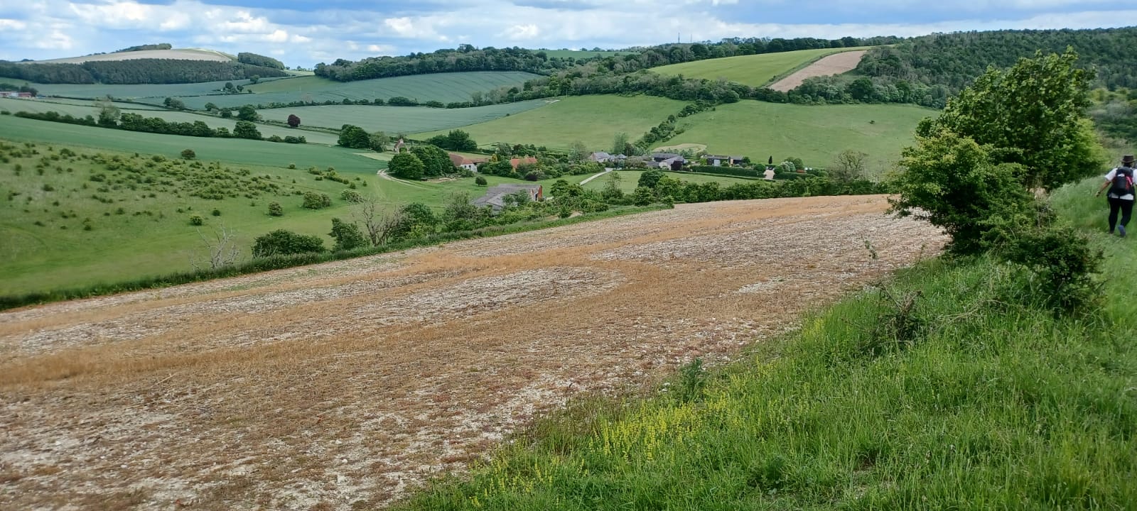
A cold sunny day, perfect for hill walking in splendid isolation. The packed car park that we saw at Gatwick on the way down in the train suggested that many people prefer crowds. By contrast one of our group had travelled from Wiltshire to be on this walk. A brisk start on the South Downs Way took us up Westburton and Bignor Hills passing Toby's Stone, with the famous lines from Robert Louis Stevenson's Requiem. A break on Bignor Hill then the Barlavington ridge north to Duncton Mill, and Seaford College for lunch on the green. Lots of shady woodlands followed on Graffham Down and eventually we picked up the Monarch's Way almost all the way back to Amberley getting back for the hourly train without the need for a sprint finish.
Photographs by Jerome Ripp
Other Files
Download Walk ReportGPX
A GPX file of the above route may be downloaded by clicking the link below.
Note: GPX files of Group Walks are created by LDWA Group members, and may be downloaded only by other LDWA members. They should not be made available outside the LDWA, and are used at members' own risk.
Login to Download (Members Only)You can use the interactive controls to zoom in and out and to move around the map, or click on a path or a marker for more info. (interactive map help)
You can use the interactive controls to zoom in and out and to move around the map, or click on a path or a marker for more info. (interactive map help)
© OpenStreetMap contributors under Open Database Licence
Rights of way data from selected Local Authorities
Large scale digital mapping is provided by John Thorn
At high zoom levels the route is indicative only.
Gallery
Maps:
You can use the interactive controls to zoom in and out and to move around the map, or click on a marker for more info. (interactive map help)
© OpenStreetMap contributors under Open Database Licence.
Rights of way data from selected Local Authorities.
Large scale digital mapping is provided by John Thorn.


