


A Royal walk for the Platinum Jubilee
Sat 4th Jun 2022
Walk Details:
As its the Platinum Jubilee weekend the walk will take in a number of places with connections with the Queen or the royal family, with views all being well of at least one other. Break points at Kingston (13.5 miles) and Richmond Park (16.5 miles)
Entry Details:
Walk Report
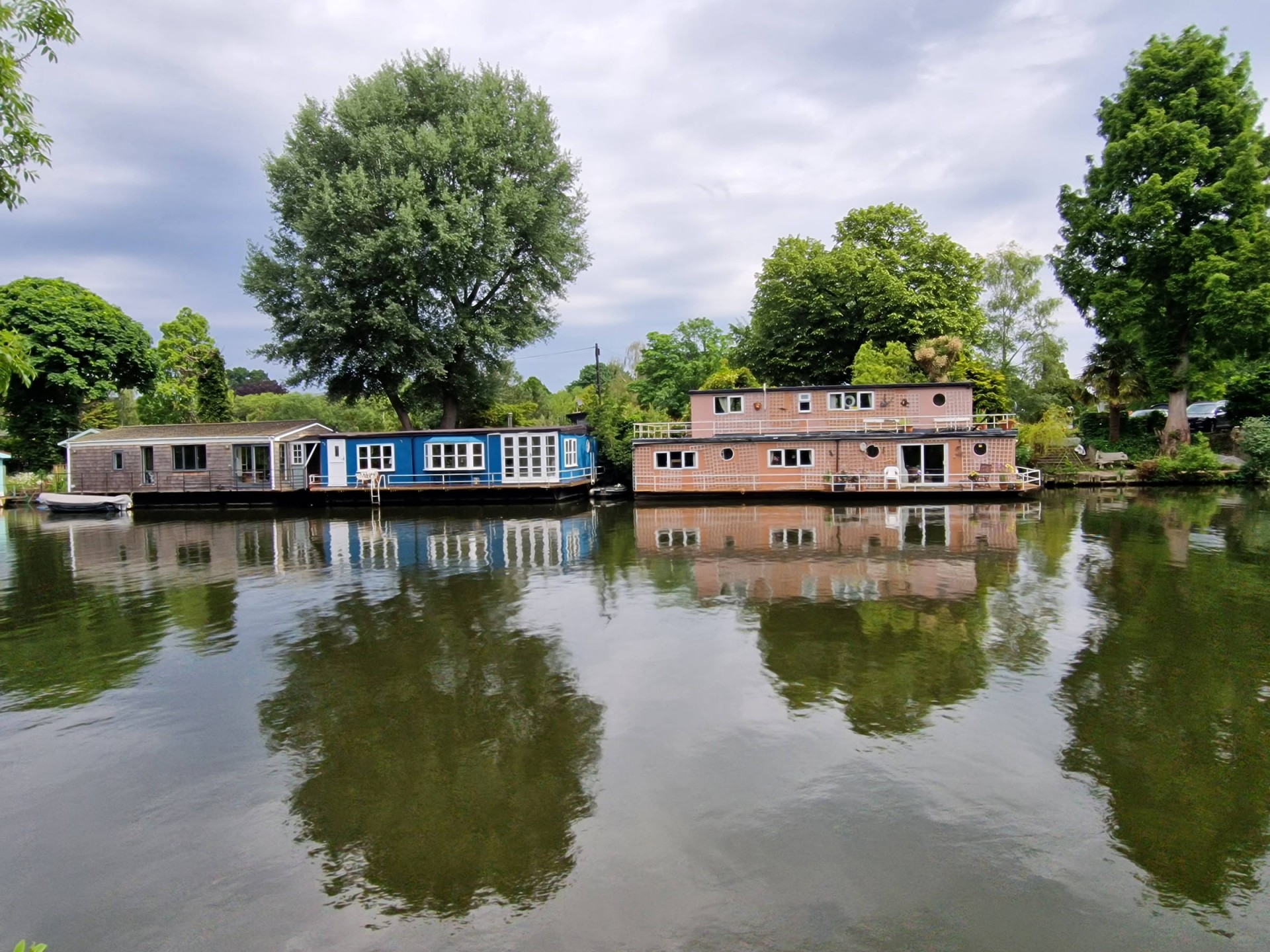
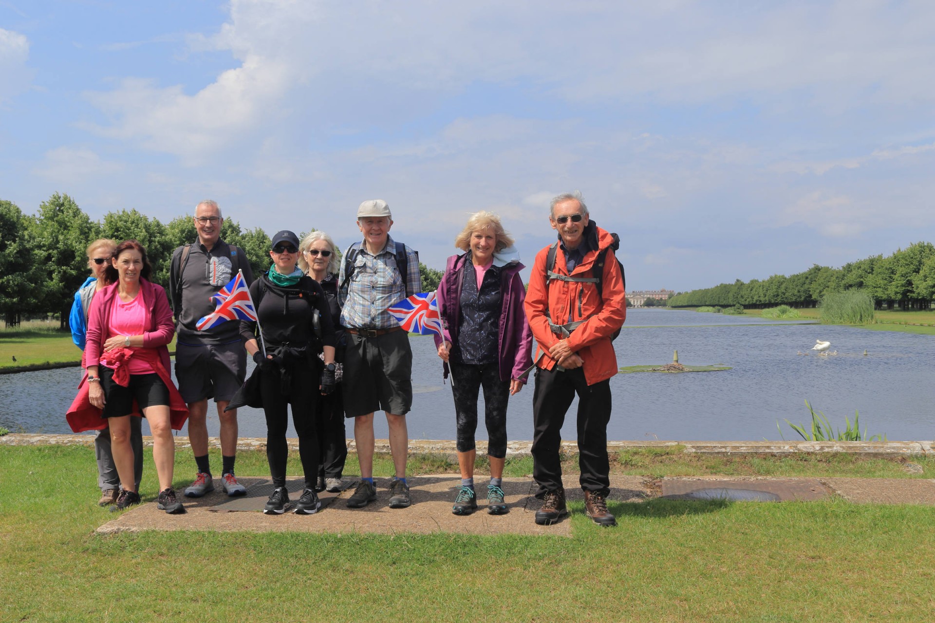
9 Walkers, 22.6 miles - leader Gavin FullerDespite the typical Jubilee weather (i.e. rain) greeting the walkers on arrival at Esher, 8 people assembled on the platform for a walk passing a number of places with royal connections to mark the Platinum Jubilee festivities. Given the Queen's noted love of horse racing the walk commenced by passing a racecourse (namely Sandown Park) before heading on past the River Mole (sharing its name with the animal whose workings caused the death of William III) to Molesey Heath Nature Reserve, where a ninth walker joined the group. Proceeding past the cheerfully-named Dead River the route took in the Queen Elizabeth II Reservoir before heading up to that thoroughfare of many a monarch the Thames.
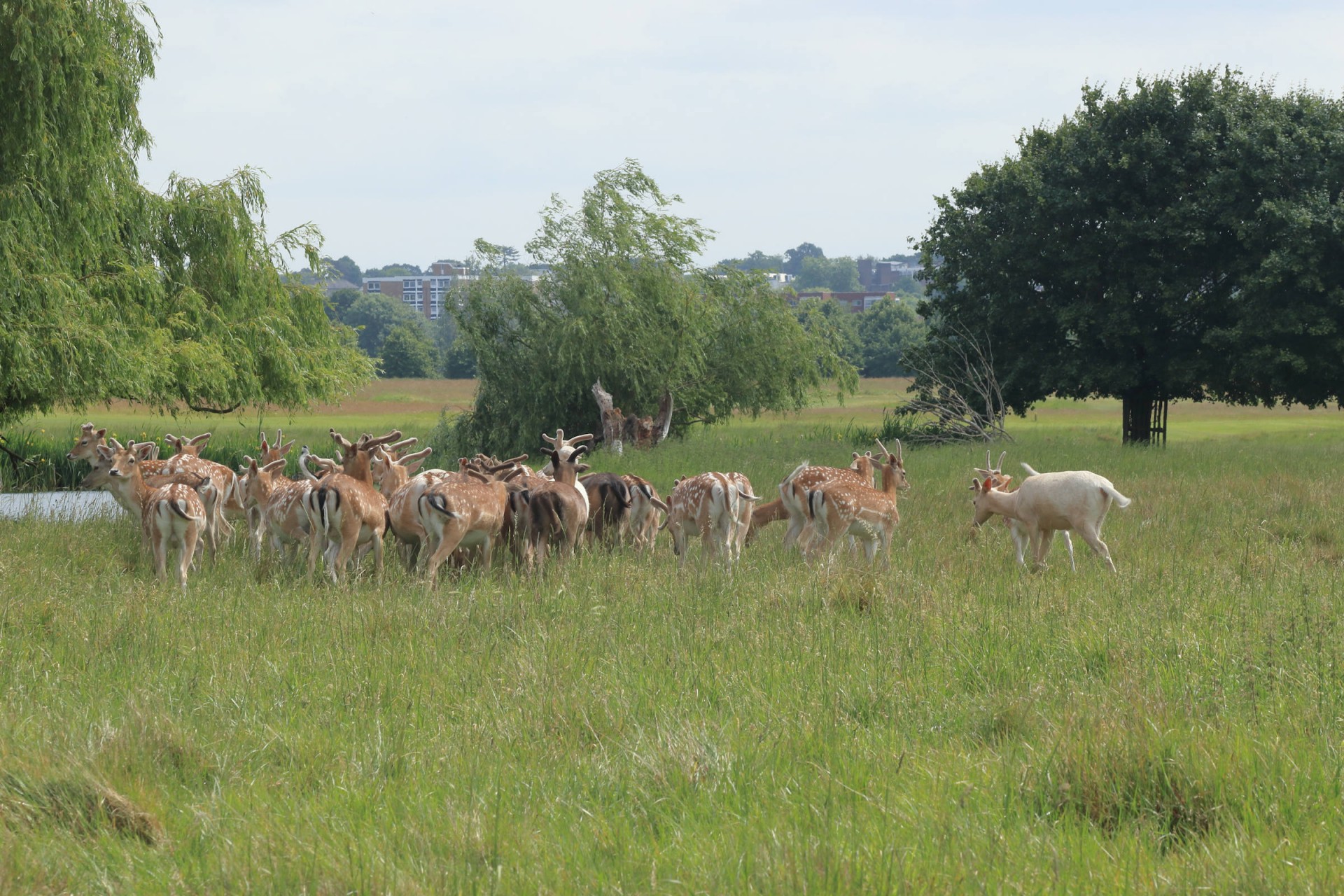
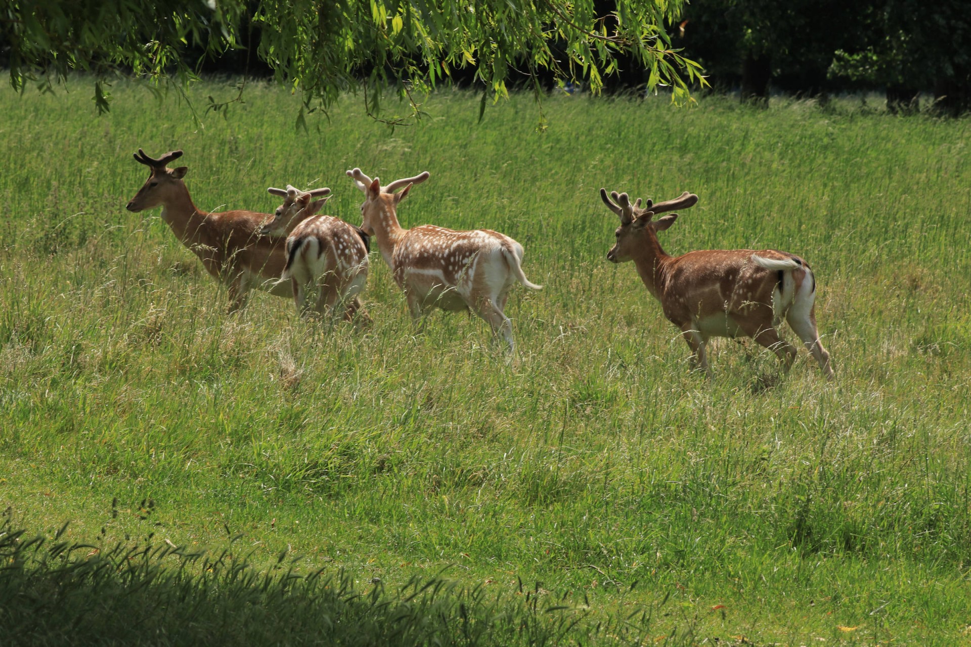
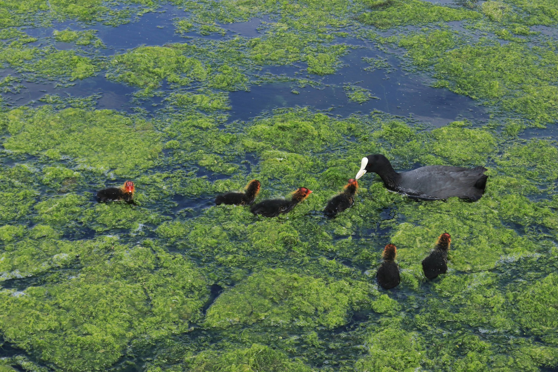
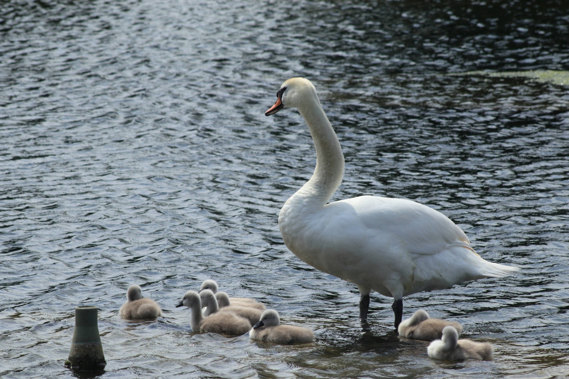
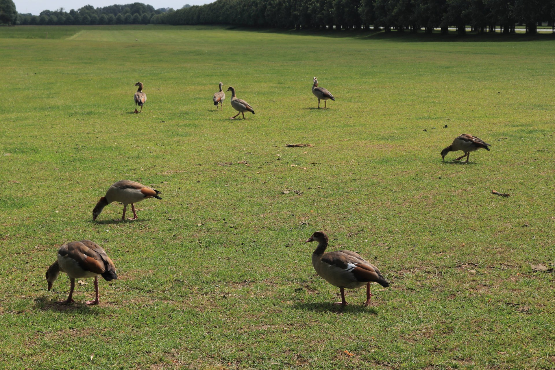
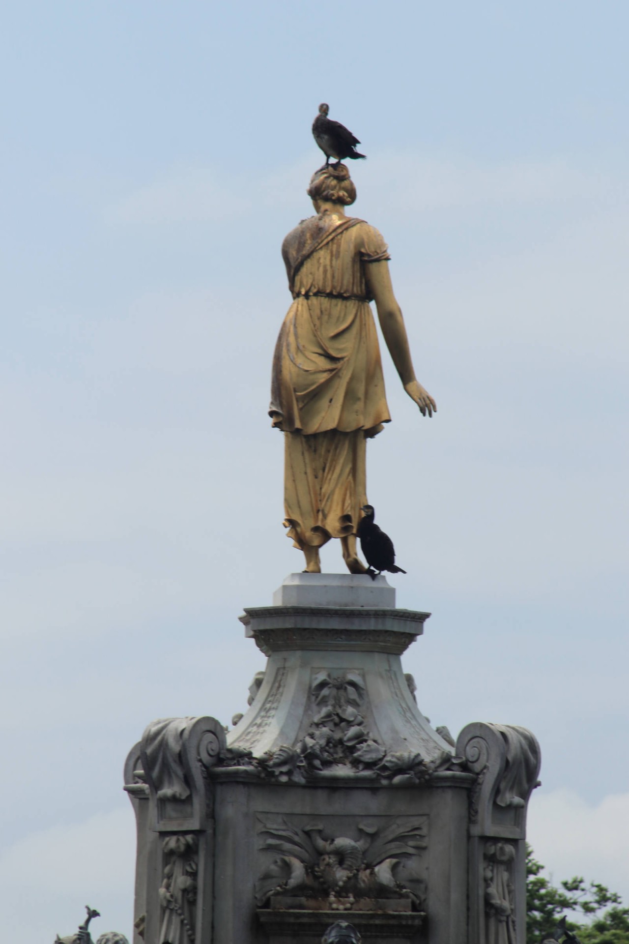
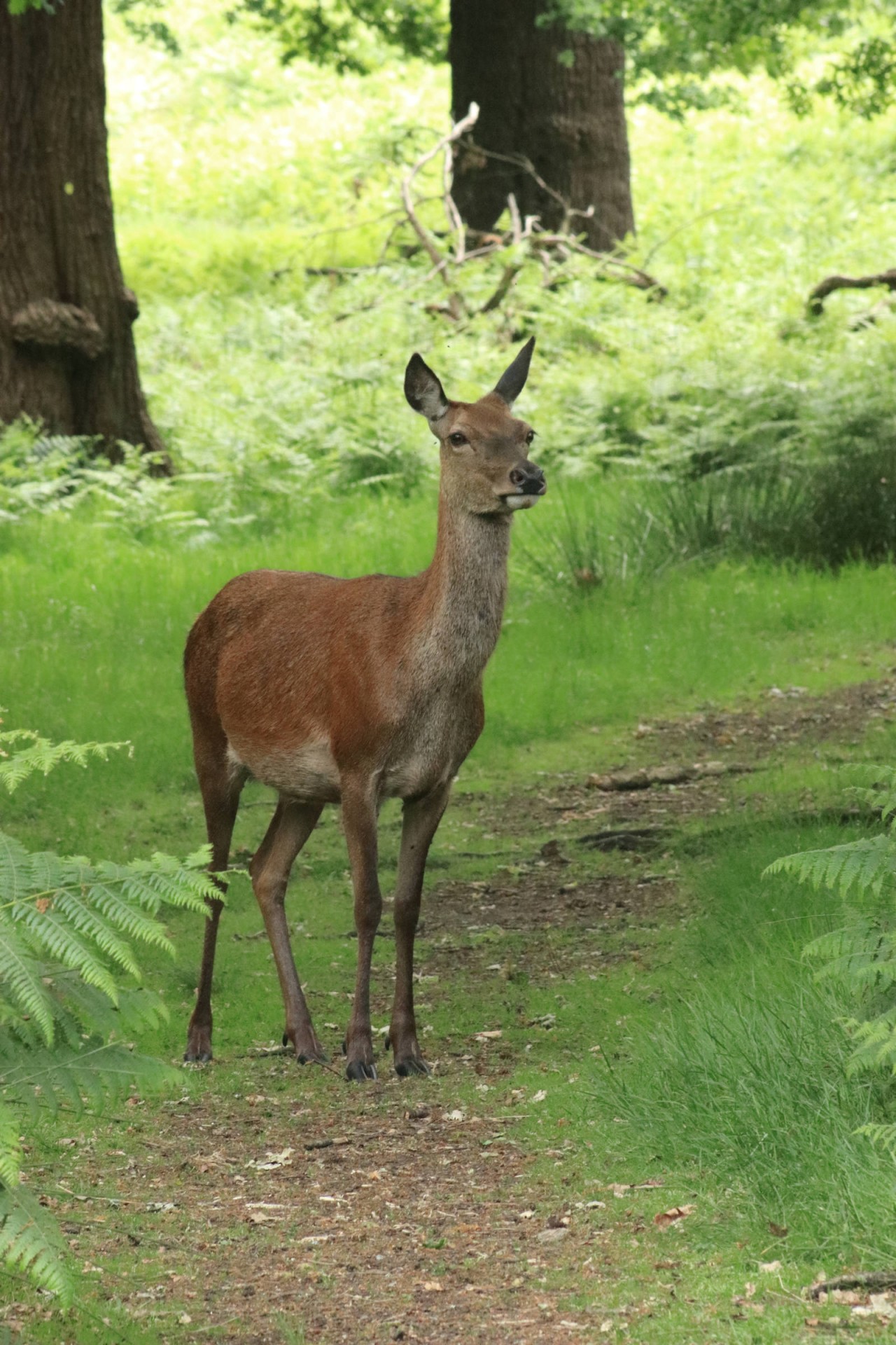
Passing the Historic Royal Palace of Hampton Court we then proceeded into its Home Park, across the golf course (a sport a number of royals have played) where a number of deer were spotted, to the Long Water (commissioned by Charles II), where the charming sight of six ducklings with their parents was marred when one suddenly disappeared beneath the water never to be seen again, to the consternation of its parents. Fortunately the cygnets further along escaped this fate, while the birdlife in this stretch included herons and a pack of Egyptian Geese. On to Bushy Park, the second-largest of London's Royal parks, where the bird theme continued with cormorants on the Diana Fountain (originally created for Charles I, set in its current setting by William III). More deer were to be seen in this park, as well as no less than six cricket matches by the time the group (reduced by one who left in the park) exited via King's Field, after passing Bushy House, a former residence of William IV.
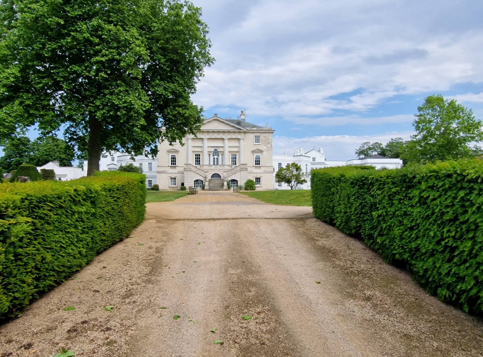
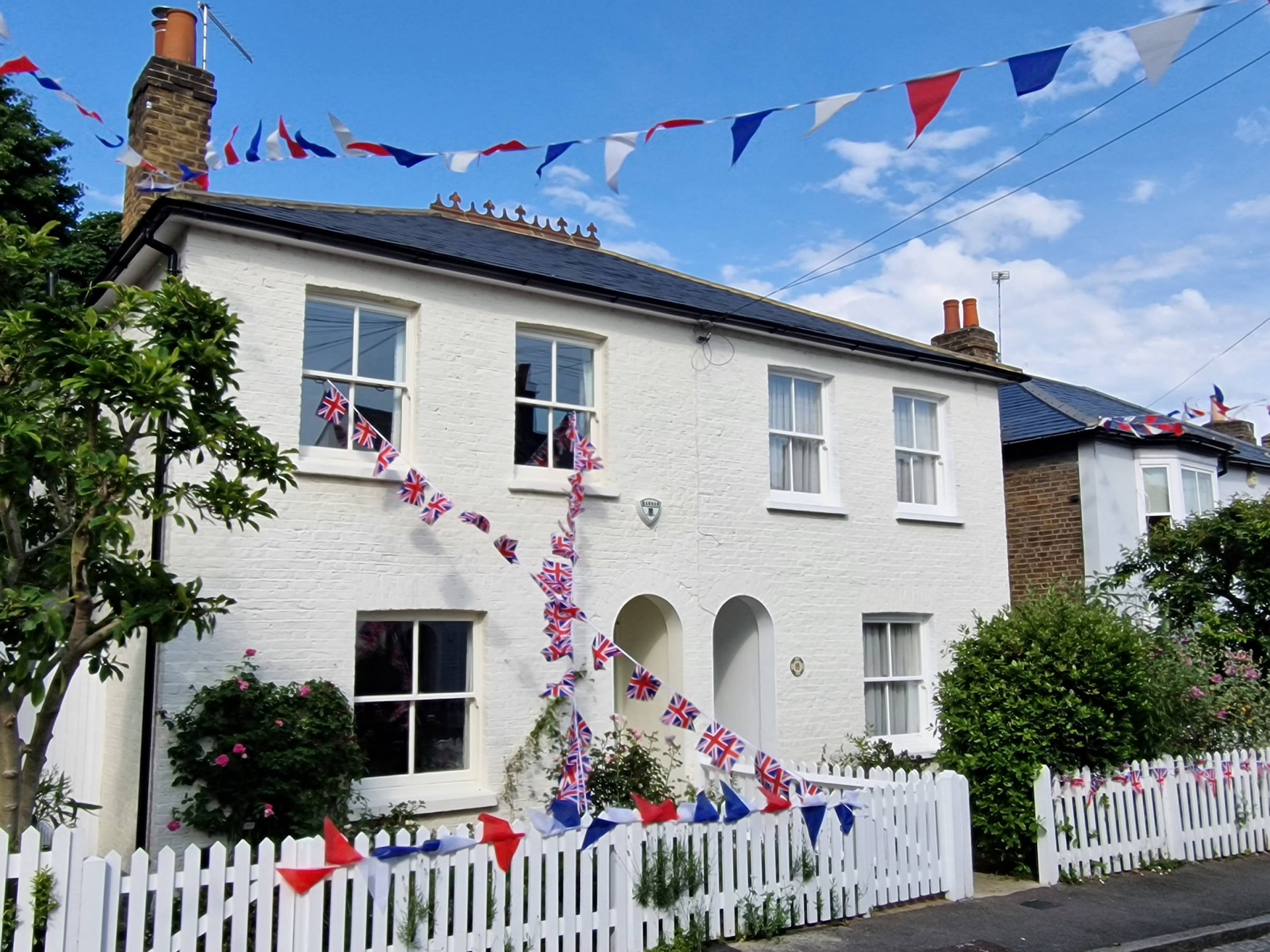
On through Kingston (site of several coronations in Anglo-Saxon times) and up Kings Road (where a street party was in progress along a side road) and Queens Road to the largest of the Royal Parks, Richmond. Here two left at Kingston Gate before the group ascended to King Henry's Mound, from where Windsor Castle is supposedly visible, not that any of the group could make it out. A further walker left here to go into Richmond, whilst the remainder proceeded across the park, with views into London including St Paul's Cathedral (host of numerous Royal occasions) and then up the Queen's Ride to White Lodge (home of a number of the Queen's ancestors). After leaving the park after seeing more deer, another walker left at the start of Putney Heath, whilst the few left proceeded across that and Wimbledon Common, going across a couple of Borough Tops just so the leader can put this in the report and descending along a street still decorated from its street party a couple of days earlier to the end at Wimbledon station in conditions much more pleasant than at the start.
Photographs by Gavin Fuller
Other Files
Download Walk ReportGPX
A GPX file of the above route may be downloaded by clicking the link below.
Note: GPX files of Group Walks are created by LDWA Group members, and may be downloaded only by other LDWA members. They should not be made available outside the LDWA, and are used at members' own risk.
Login to Download (Members Only)You can use the interactive controls to zoom in and out and to move around the map, or click on a path or a marker for more info. (interactive map help)
You can use the interactive controls to zoom in and out and to move around the map, or click on a path or a marker for more info. (interactive map help)
© OpenStreetMap contributors under Open Database Licence
Rights of way data from selected Local Authorities
Large scale digital mapping is provided by John Thorn
At high zoom levels the route is indicative only.
Gallery
Maps:
You can use the interactive controls to zoom in and out and to move around the map, or click on a marker for more info. (interactive map help)
© OpenStreetMap contributors under Open Database Licence.
Rights of way data from selected Local Authorities.
Large scale digital mapping is provided by John Thorn.


