


SSW3 Stratford to Greenwich
Mon 6th Jun 2022
Walk Details:
A short stroll along the Greenway, past the site of the original Big Brother house, through the Limehouse Cut to (re)visit a stretch of this year's Capital Challenge traversing the Isle of Dogs to our journey's end on the other side of the river. The Gate Clock is within staggering distance of the Finish.
Finish: Cutty Sark DLR, Greenwich
Entry Details:
Walk Report
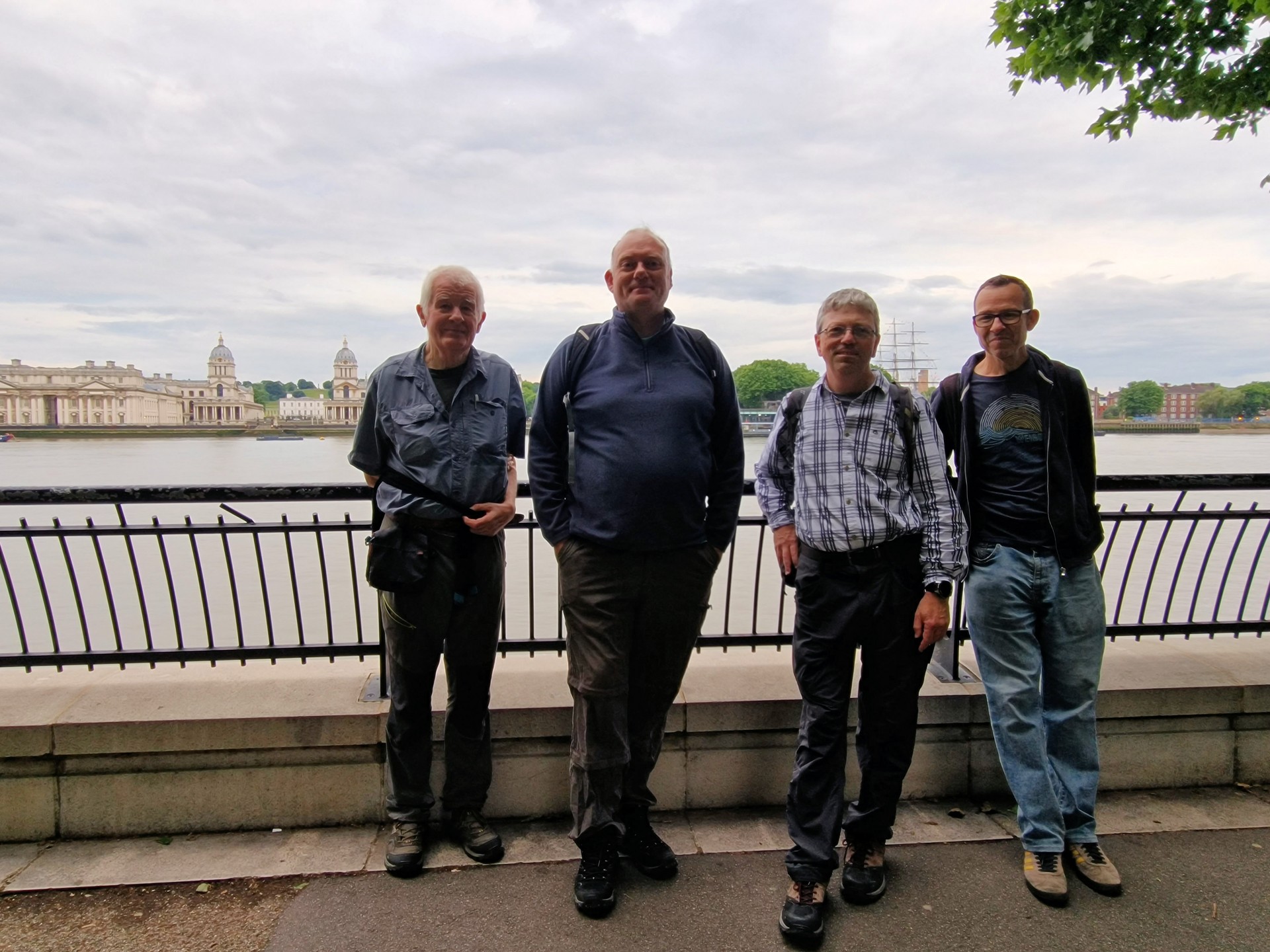
SSW3: Stratford to Greenwich, Monday 6th June 20226 walkers, 7.5 miles - leader Pete Colley
Six hardy souls navigated their way around the tube strike to Stratford for the third in the series of Stratford Social Walks.
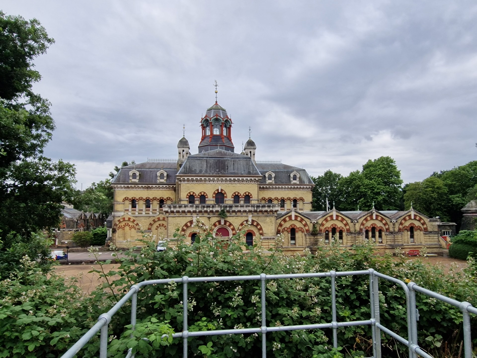
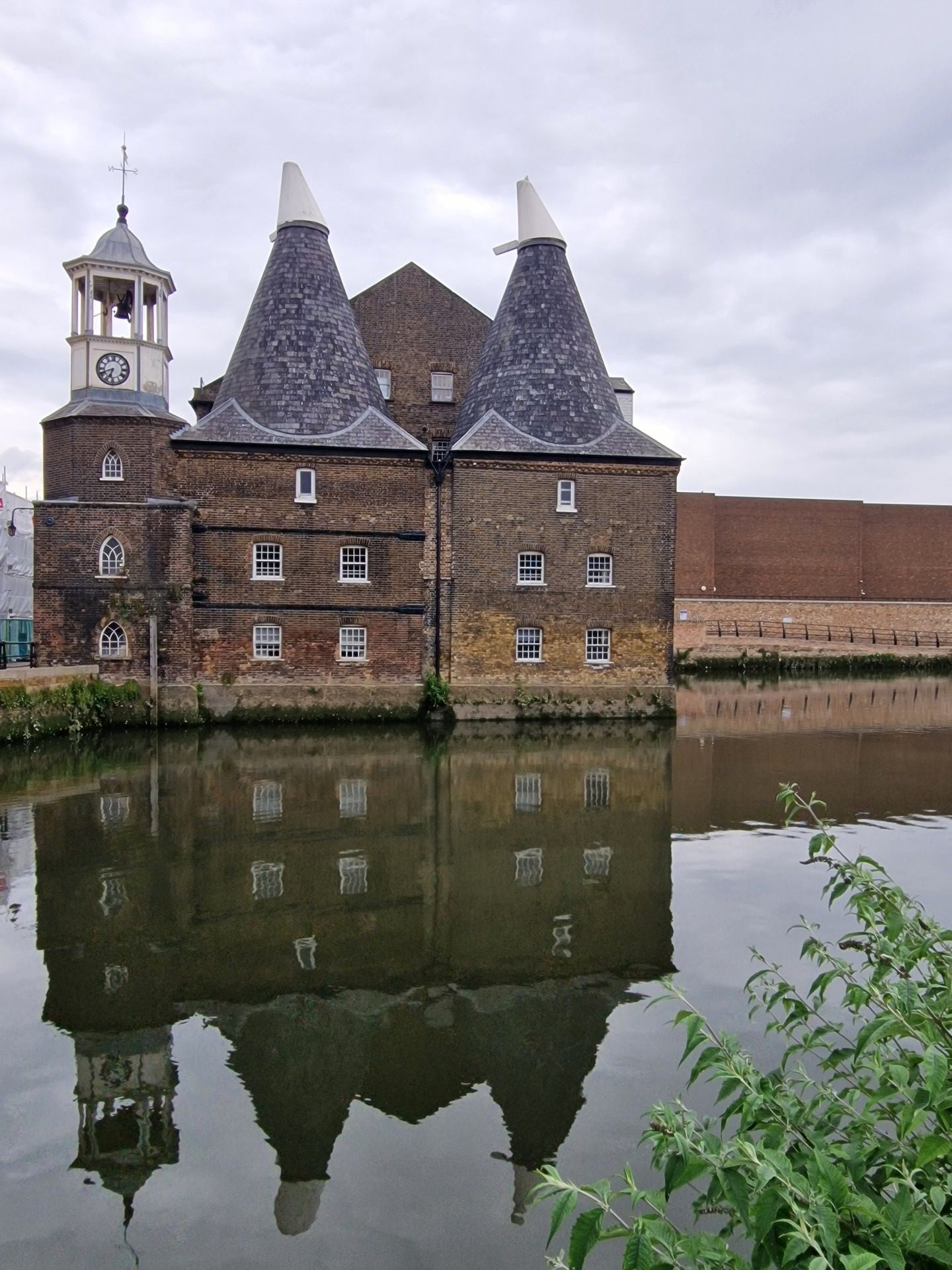
Our route took us past the Aquatics Centre at the gateway to the Olympic Park and out along the Greenway to Abbey Mills pumping station, which definitely smelled like it was still operational. Around Mill Meads to Three Mills Island - the studios there are currently home to Masterchef and were where the first two series of Big Brother were filmed - over Bow Locks to the Limehouse Cut. The occasional speeding cyclist interrupted an otherwise event-free 1.5 mile stroll along the canal.
At Limehouse, we picked up the route of this year's Capital Challenge through a relatively quiet Canary Wharf to South Quay and through Millwall Docks to Mudchute Park and Farm. With the ack-ack gun situated in the centre, I have my suspicions that were Animal Farm to become a reality, it would start here. The pigs were nowhere to be seen... From there, we completed our mission across Millwall Park to Island Gardens and under the Thames with only one of our number taking the lift on the other side.
A big thank you to those who joined the walk. Looking forward to seeing you (and others) on the next instalment.
Photographs by Gavin Fuller
Other Files
Download Walk ReportGPX
A GPX file of the above route may be downloaded by clicking the link below.
Note: GPX files of Group Walks are created by LDWA Group members, and may be downloaded only by other LDWA members. They should not be made available outside the LDWA, and are used at members' own risk.
Login to Download (Members Only)You can use the interactive controls to zoom in and out and to move around the map, or click on a path or a marker for more info. (interactive map help)
You can use the interactive controls to zoom in and out and to move around the map, or click on a path or a marker for more info. (interactive map help)
© OpenStreetMap contributors under Open Database Licence
Rights of way data from selected Local Authorities
Large scale digital mapping is provided by John Thorn
At high zoom levels the route is indicative only.
Gallery
Maps:
You can use the interactive controls to zoom in and out and to move around the map, or click on a marker for more info. (interactive map help)
© OpenStreetMap contributors under Open Database Licence.
Rights of way data from selected Local Authorities.
Large scale digital mapping is provided by John Thorn.


