


Crossing Chiltern ridges and commons
Sat 19th Mar 2022
Walk Details:
Hilly walk, many contours, some bottoms and an Iron age fort. Some muddy paths
The walk is based on previous walks that I have led but there has not been a recent recce; there may be some surprises!
Entry Details:
Walk Report
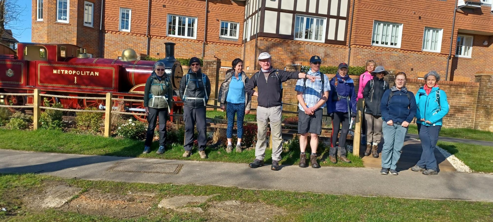
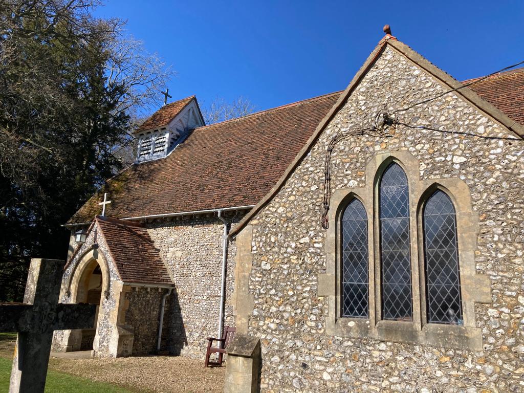
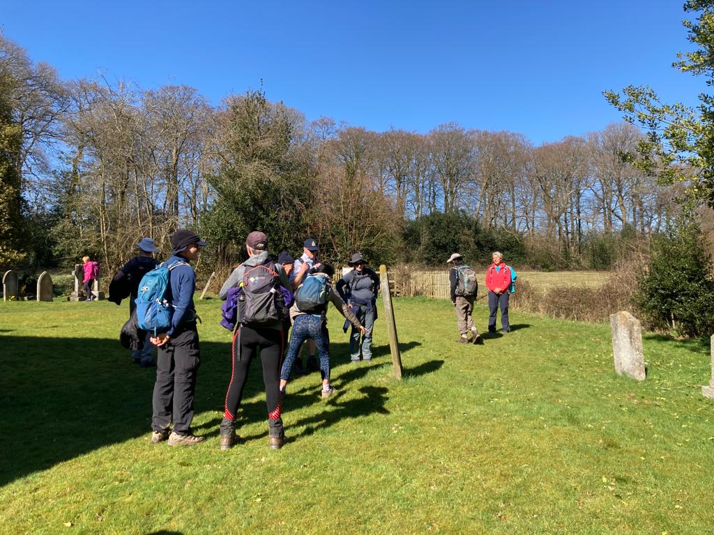
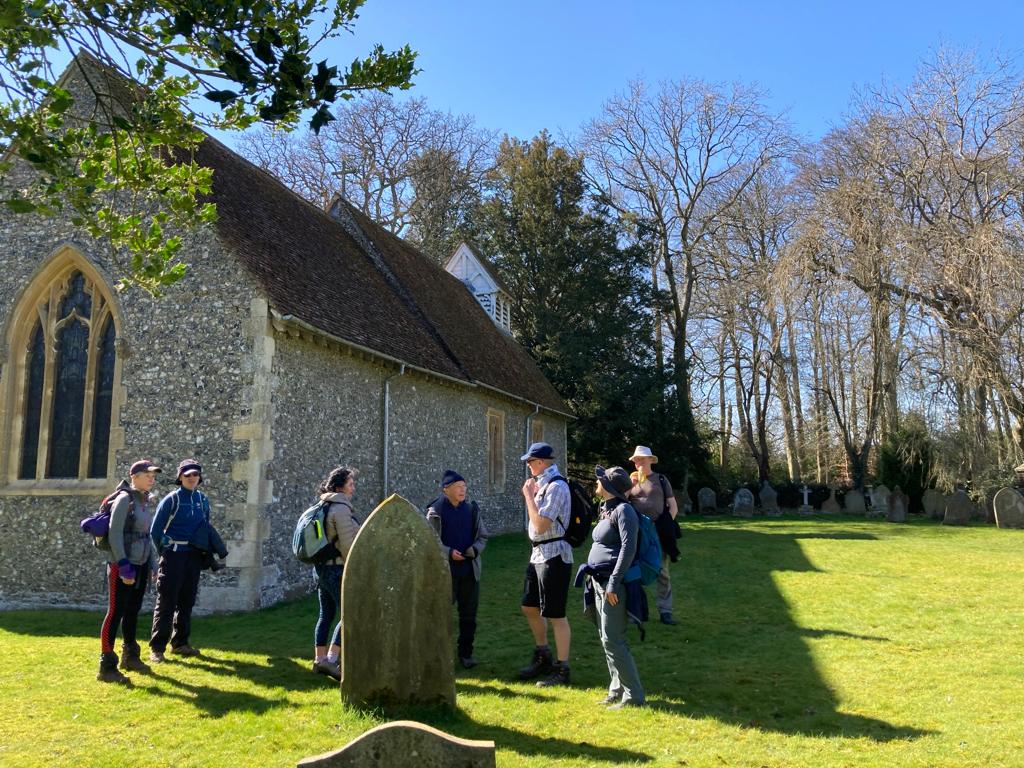
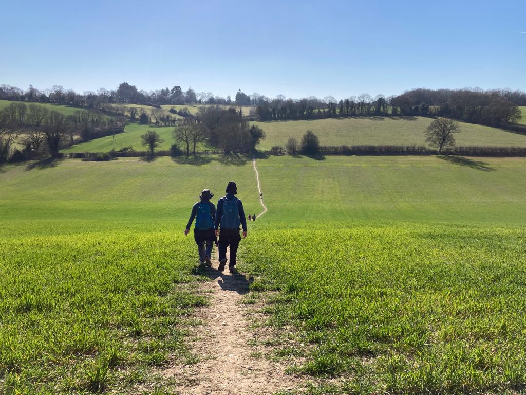
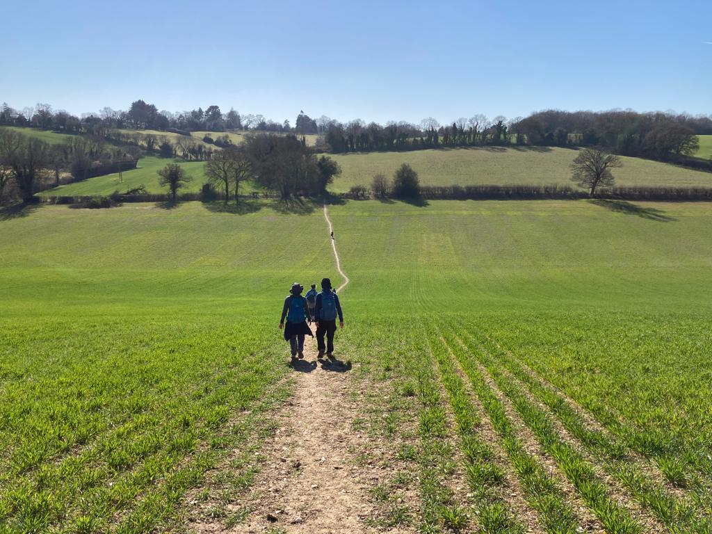
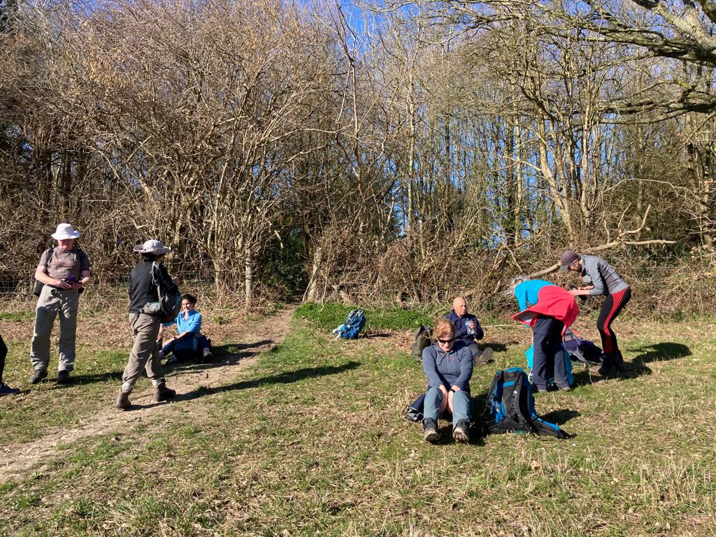
Crossing Chiltern Ridges and Commons, Saturday 19th March 202211 walkers, 22 miles - leader Jerome Ripp
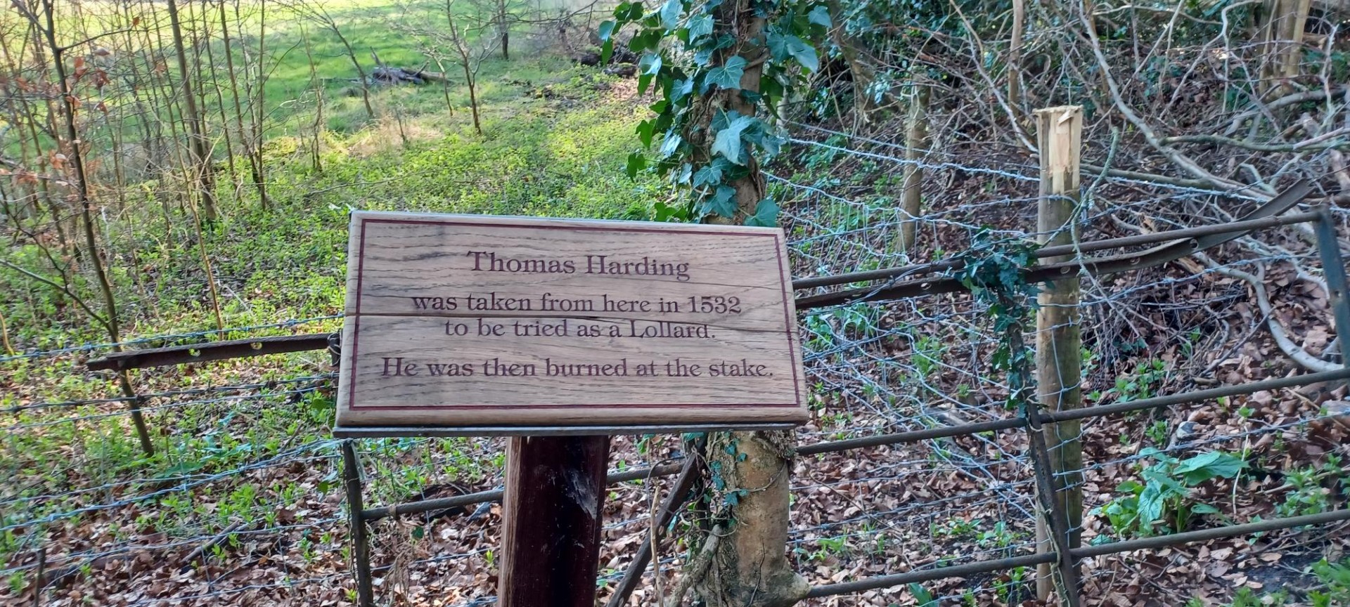
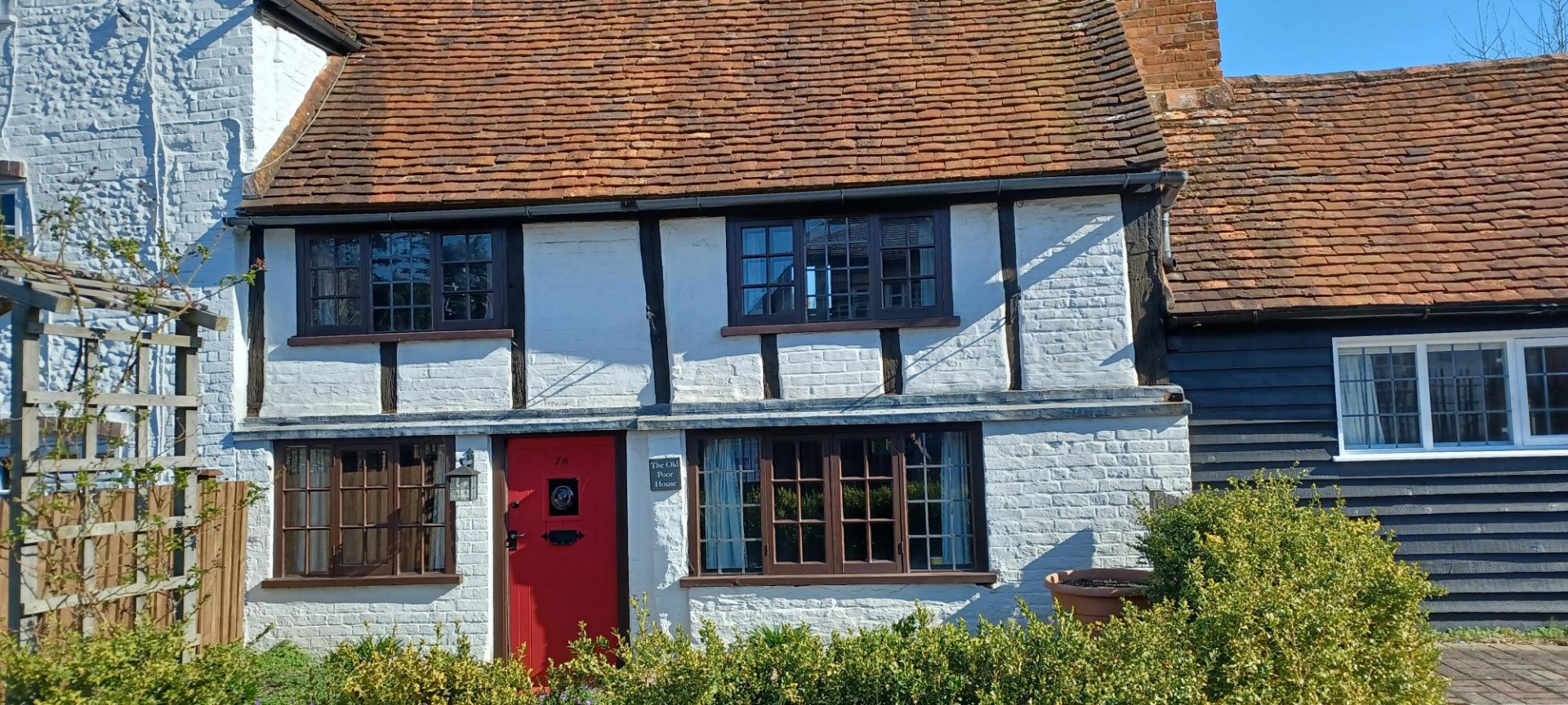
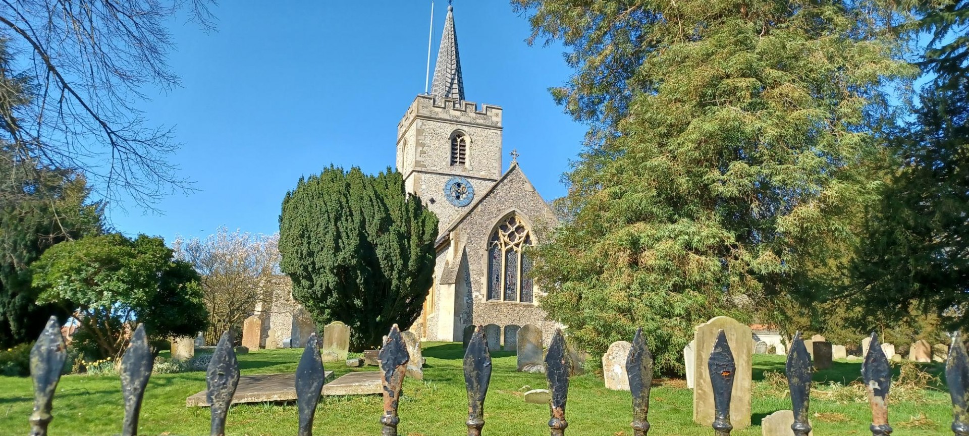
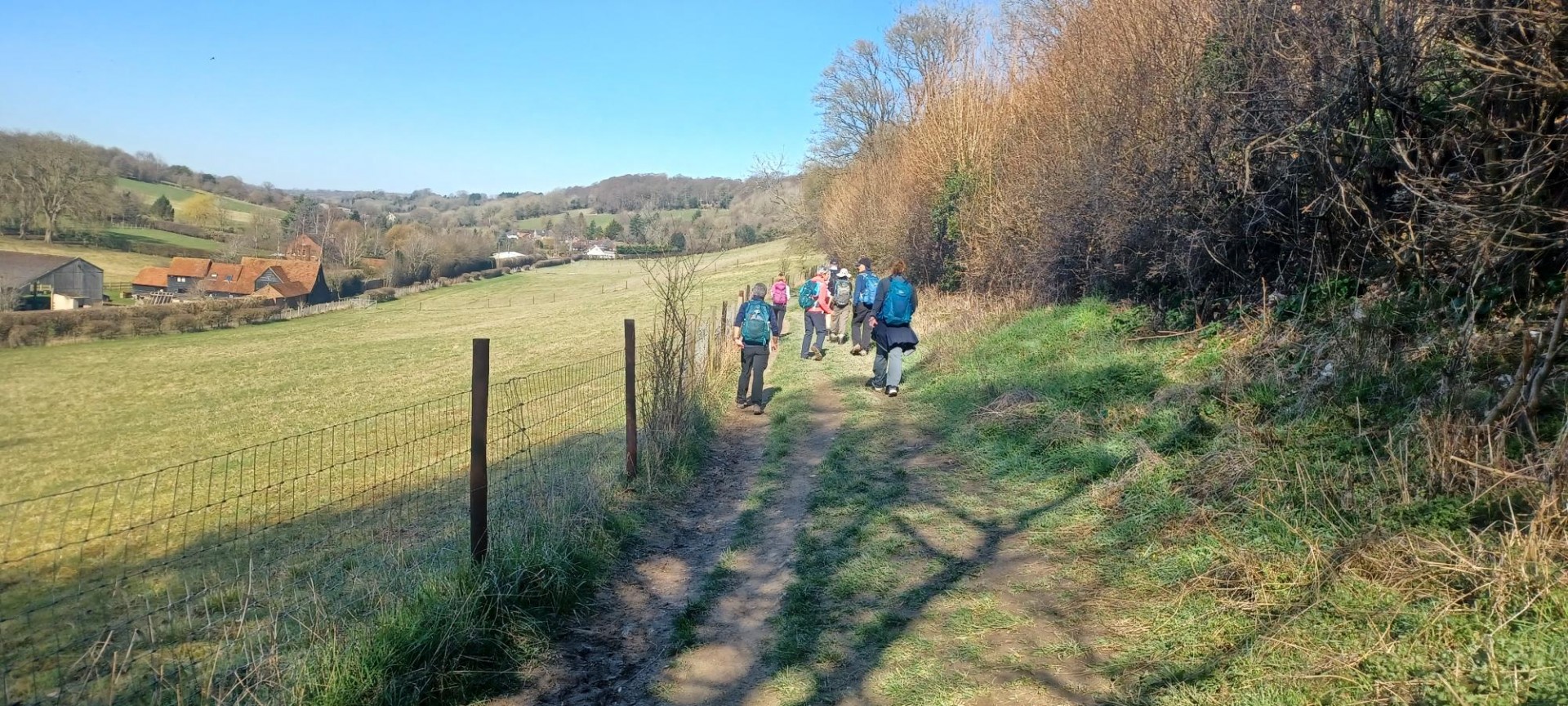
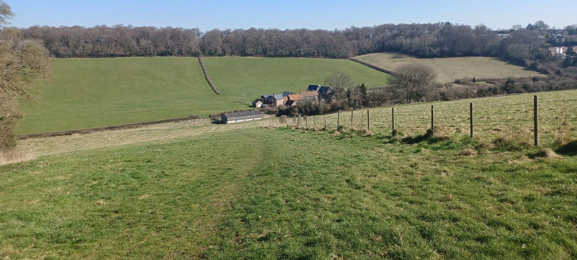
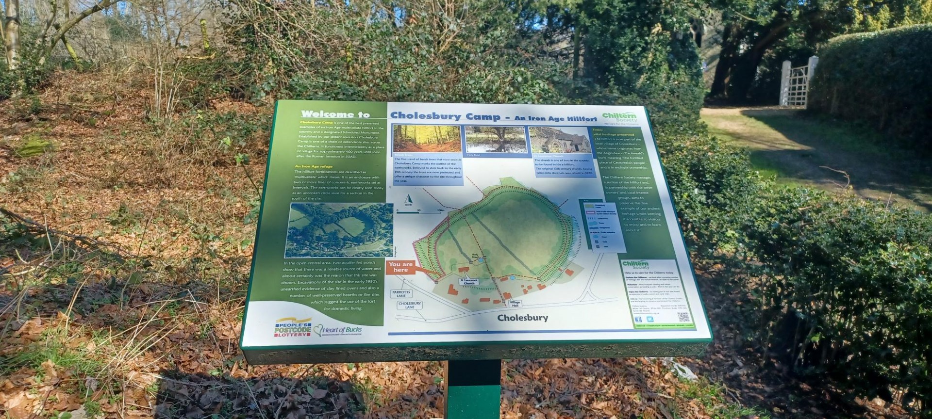
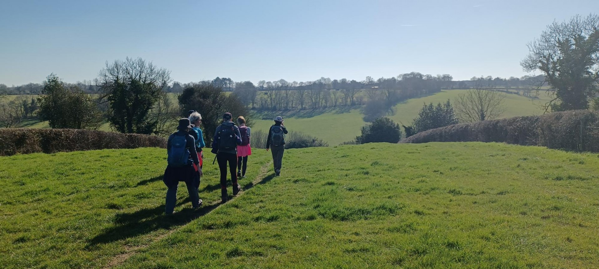
A glorious sunny day, a super group of keen strong walkers who took it all in their stride. A group of ridges to the north west of Amersham, Chartridge, Ashridge, Hawridge with descents into the valley bottoms. Woodlands and isolated farms, yet only a few miles from the end of the Metropolitan line as the photo shows. Lunch on Cholesbury Common followed by a tour of the substantial fort area. Some muddy places mainly around gates but lots of dry tracks and amazing views. We met only a handful of other walkers and runners, how strange on such a lovely day to herald the start of spring.
Photographs by Jerome Ripp
Other Files
Download Walk ReportGPX
A GPX file of the above route may be downloaded by clicking the link below.
Note: GPX files of Group Walks are created by LDWA Group members, and may be downloaded only by other LDWA members. They should not be made available outside the LDWA, and are used at members' own risk.
Login to Download (Members Only)You can use the interactive controls to zoom in and out and to move around the map, or click on a path or a marker for more info. (interactive map help)
You can use the interactive controls to zoom in and out and to move around the map, or click on a path or a marker for more info. (interactive map help)
© OpenStreetMap contributors under Open Database Licence
Rights of way data from selected Local Authorities
Large scale digital mapping is provided by John Thorn
At high zoom levels the route is indicative only.
Gallery

Maps:
You can use the interactive controls to zoom in and out and to move around the map, or click on a marker for more info. (interactive map help)
© OpenStreetMap contributors under Open Database Licence.
Rights of way data from selected Local Authorities.
Large scale digital mapping is provided by John Thorn.


