


Darent Valley Circular - again!
Sat 6th Nov 2021
Walk Details:
Favourite circular route round the Darent Valley from and back to Otford
Entry Details:
Walk Report
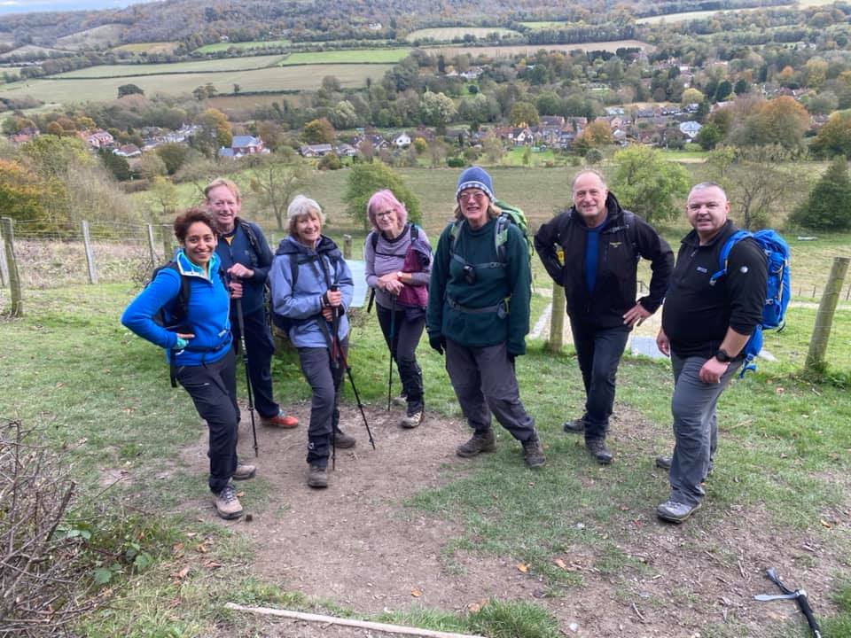
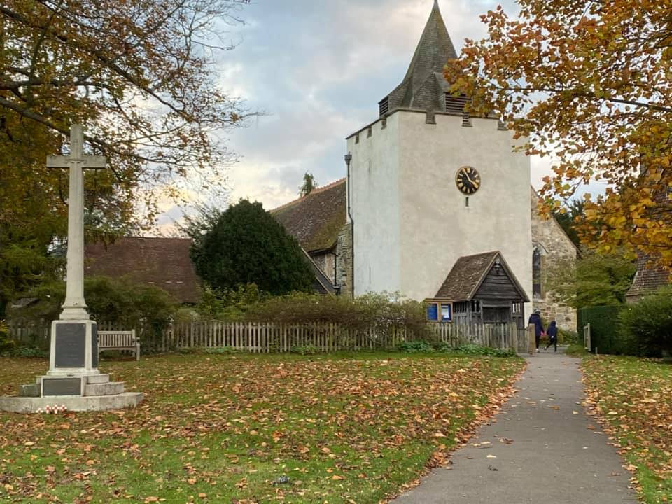
Darent Valley Circular - Again!, Saturday 6th November 20219 walkers, 14.9 miles - leader Lonica Vanclay
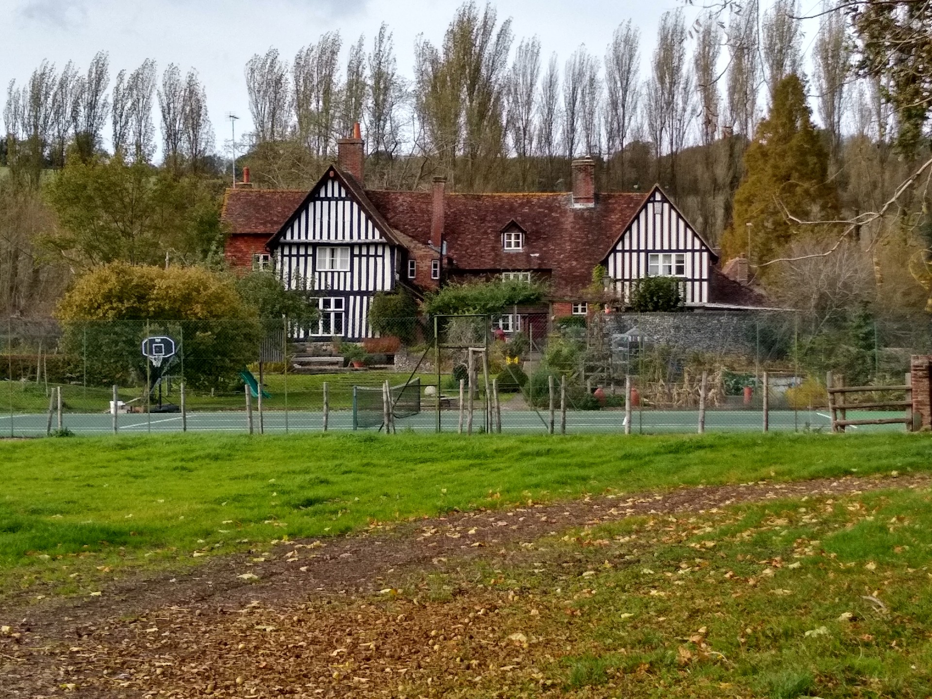
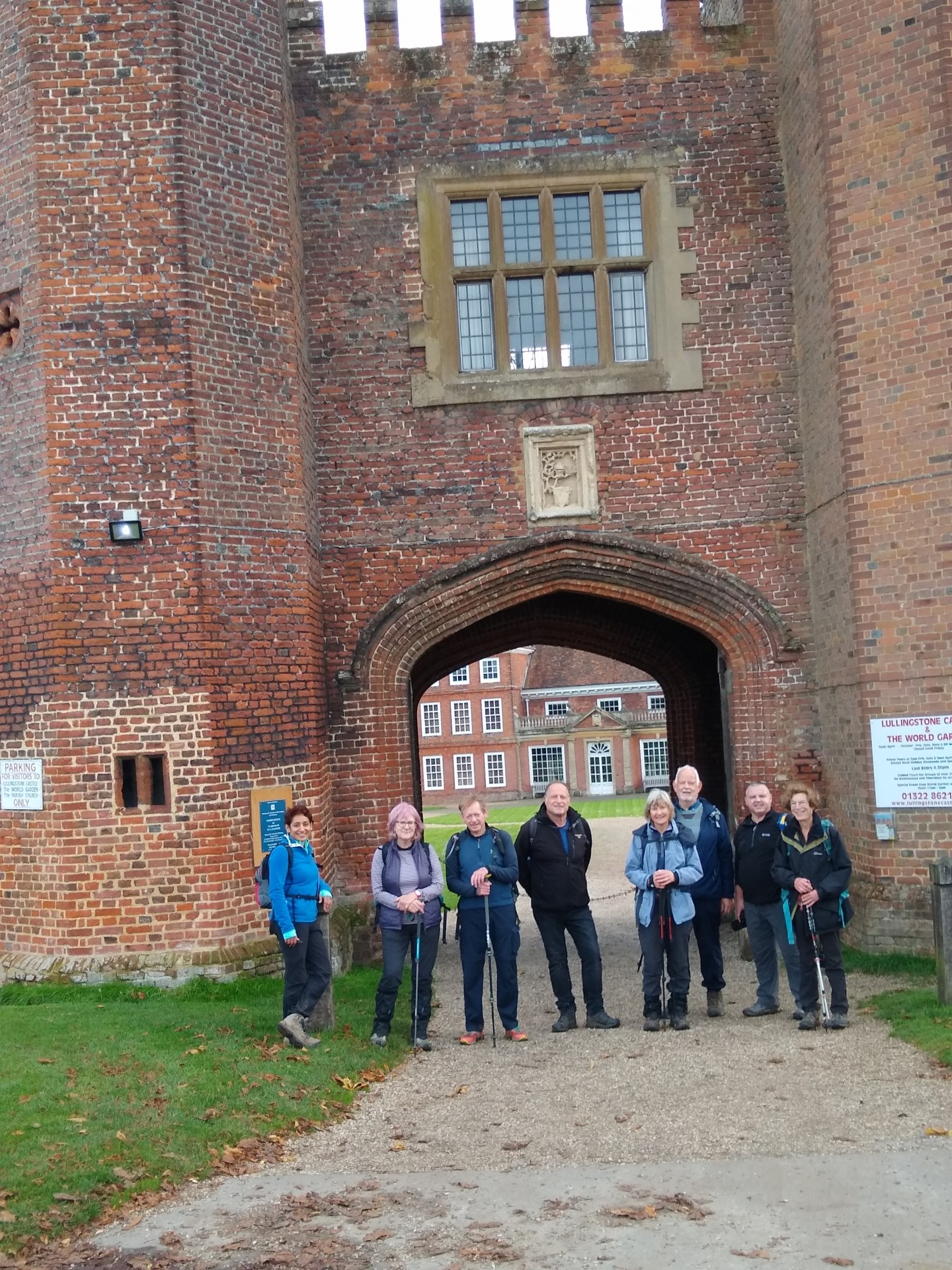
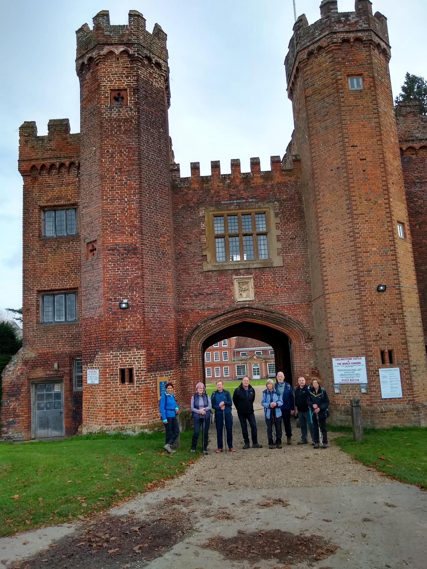
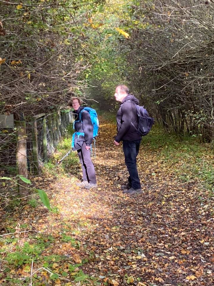
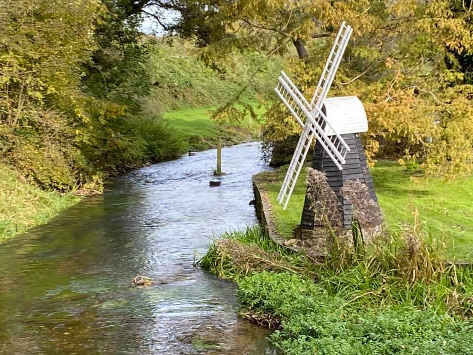
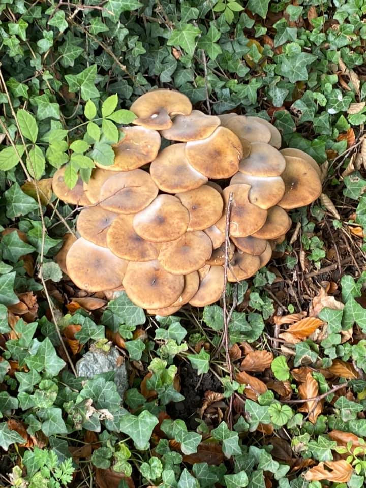
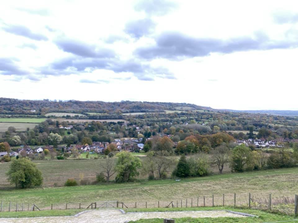
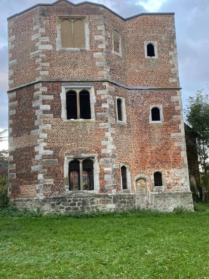
9 of us in total set off from Otford on a fine autumn morning... straight up the steepest hill of the day on the North Downs Way. We soon turned north to skirt the eastern slopes of the Darent Valley, then down to Lullingstone with a loop of the castle and Roman villa and golf course before lunching at the Country Park. Lovely leaves and views. Then along the river to Shoreham before ascending our third hill of the day to follow the western ridge and back down through farmland to Otford. The miles melted away - literally as somehow we ended up doing just under 15 rather than 17. Hence, we had a quick look at the remains of the Bishops Palace in Otford and were back at the station well before dark.
Photographs by Lonica Vanclay and Ian Watson
Other Files
Download Walk ReportGPX
A GPX file of the above route may be downloaded by clicking the link below.
Note: GPX files of Group Walks are created by LDWA Group members, and may be downloaded only by other LDWA members. They should not be made available outside the LDWA, and are used at members' own risk.
Login to Download (Members Only)You can use the interactive controls to zoom in and out and to move around the map, or click on a path or a marker for more info. (interactive map help)
You can use the interactive controls to zoom in and out and to move around the map, or click on a path or a marker for more info. (interactive map help)
© OpenStreetMap contributors under Open Database Licence
Rights of way data from selected Local Authorities
Large scale digital mapping is provided by John Thorn
At high zoom levels the route is indicative only.
Gallery
Maps:
You can use the interactive controls to zoom in and out and to move around the map, or click on a marker for more info. (interactive map help)
© OpenStreetMap contributors under Open Database Licence.
Rights of way data from selected Local Authorities.
Large scale digital mapping is provided by John Thorn.


