


Evening London Walk - 10 Stories
Wed 29th Sep 2021
Walk Details:
An urban walk in London stopping for 10 Stories covering London's military history. Finish at the george pub (listed coaching inn) and home from London Bridge
Entry Details:
Walk Report
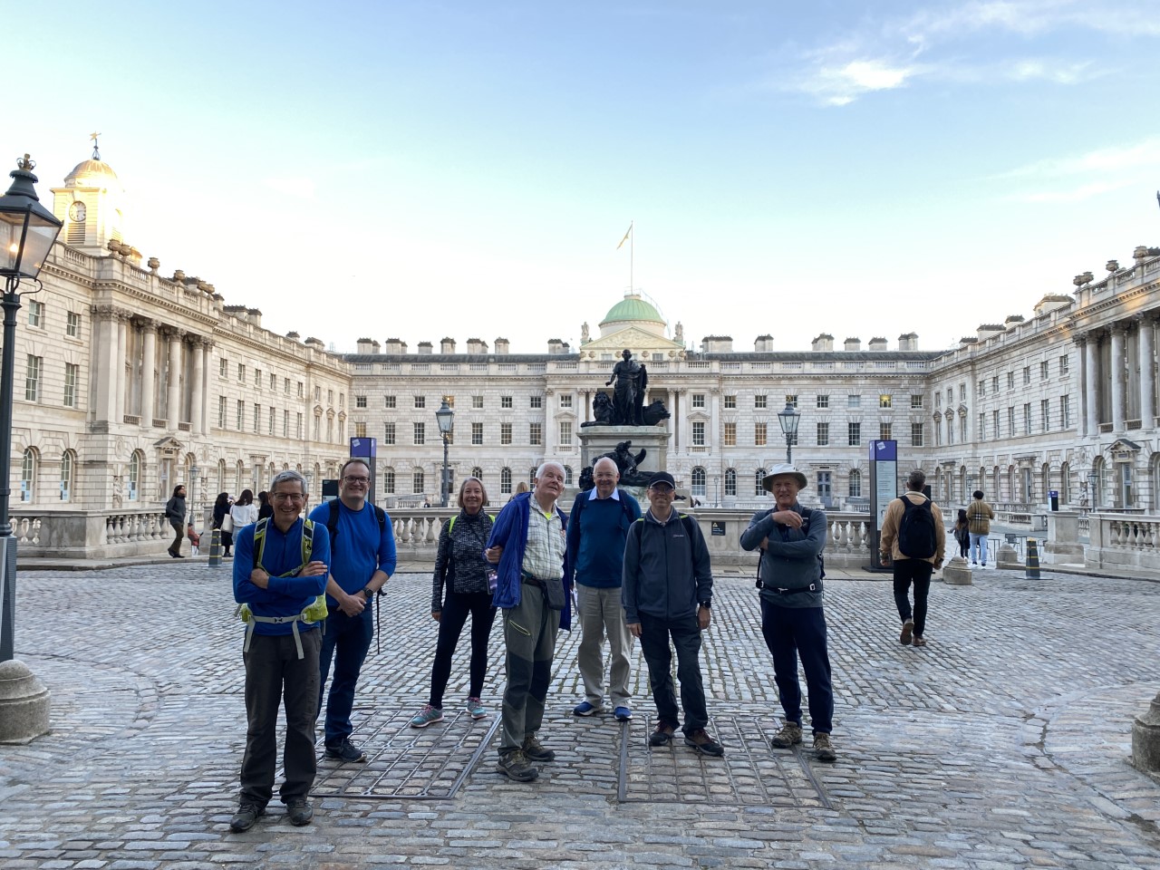
10 Stories, Wednesday 29th September 20219 walkers, 8 miles - leader Adam Pode
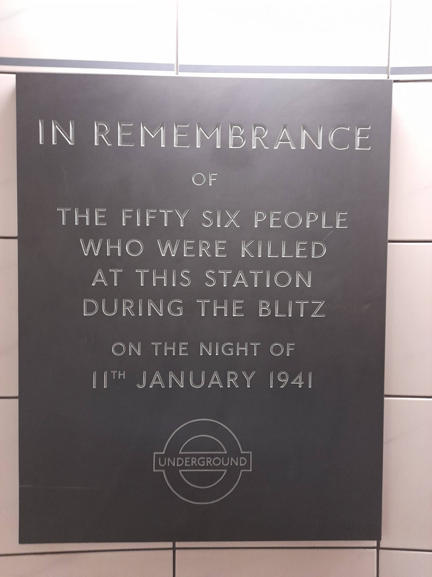
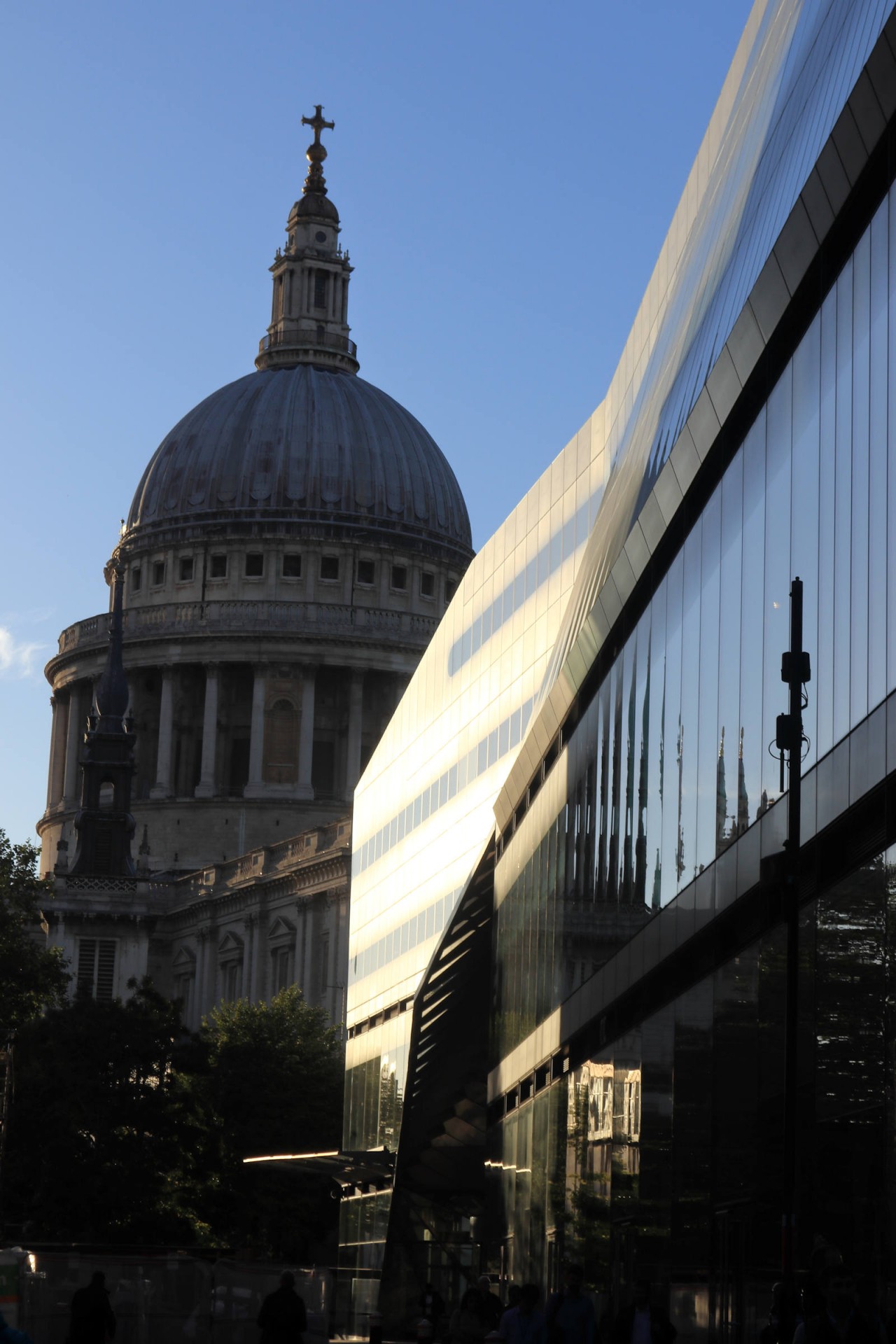
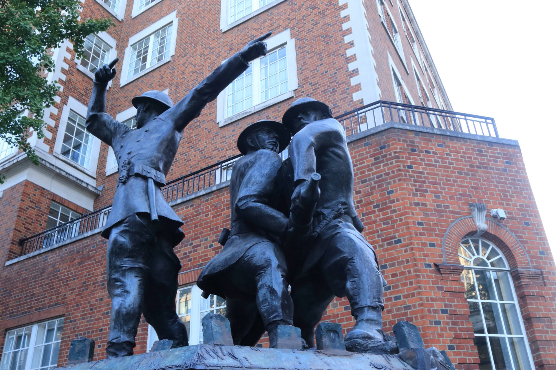
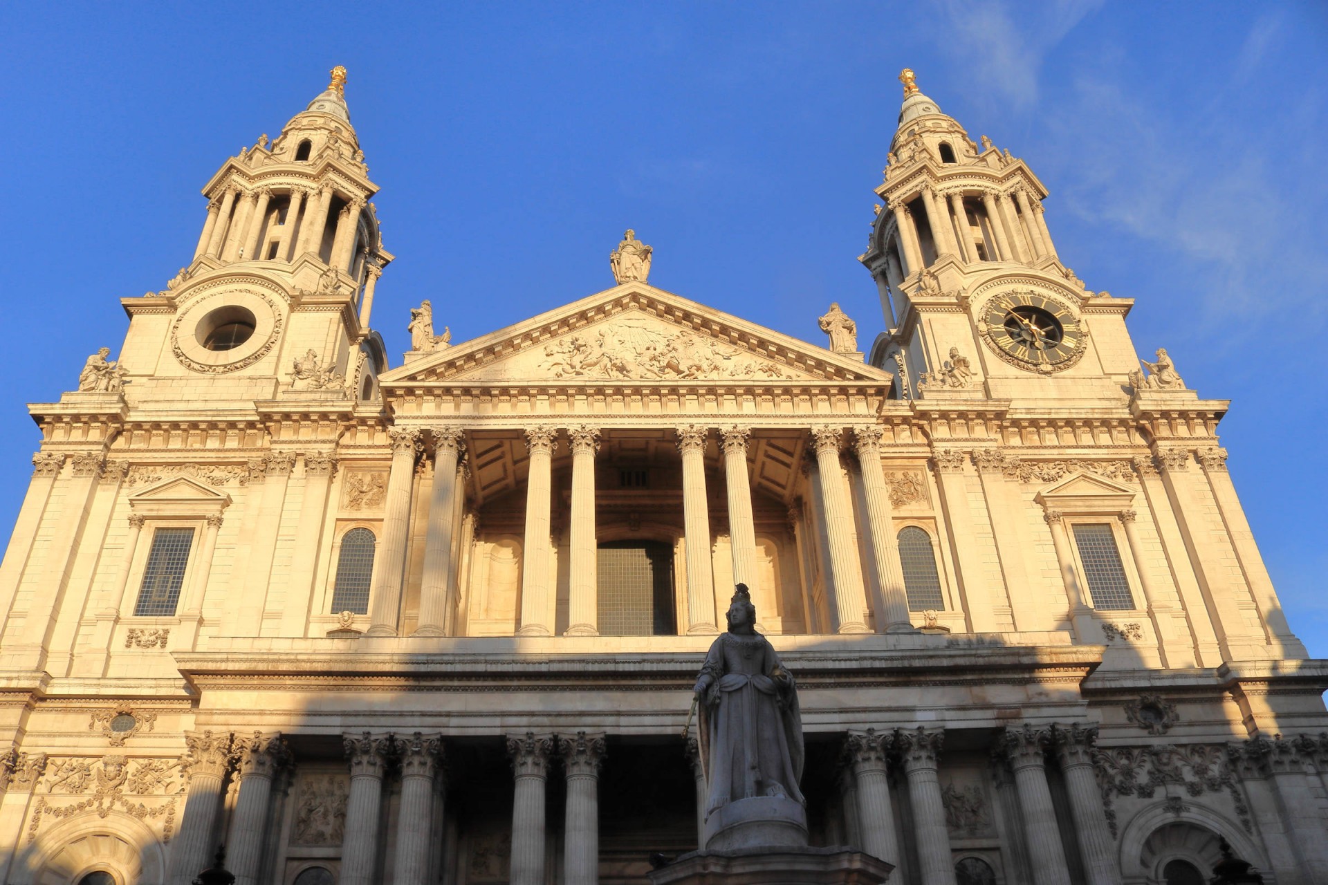
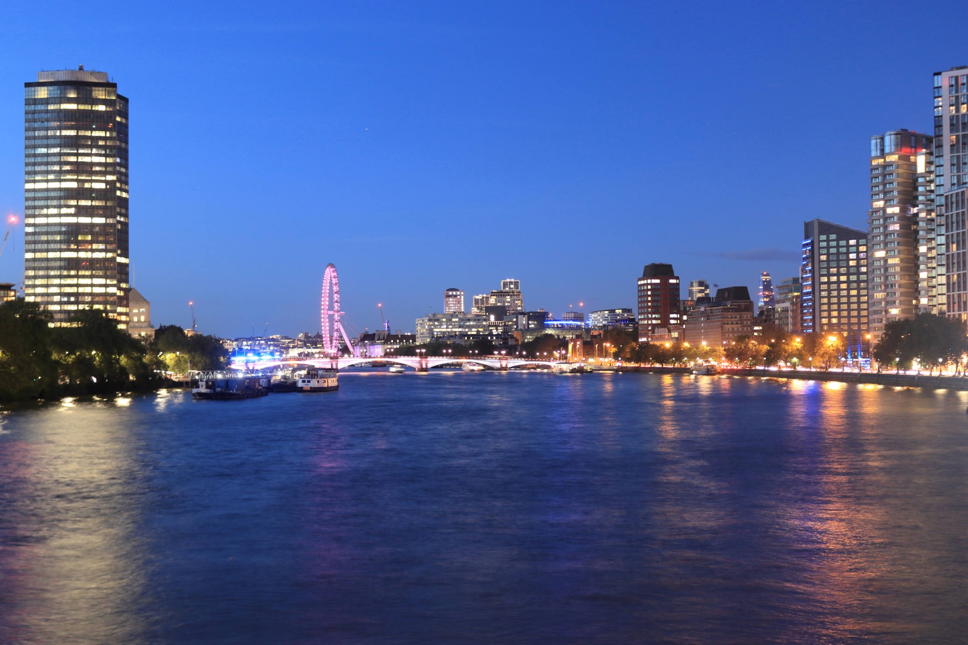
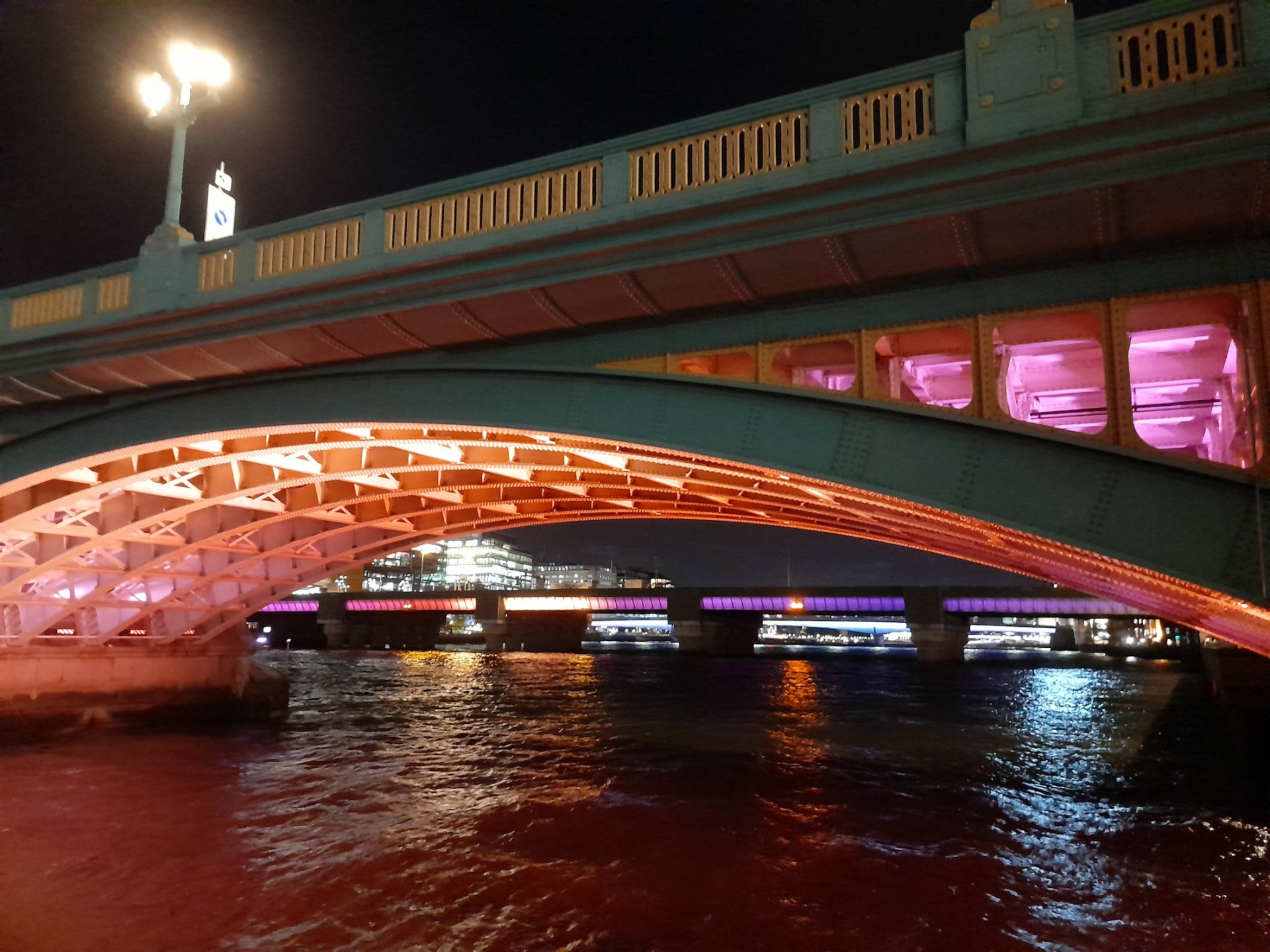
Seven people assembled at Bank station for a walk whose titular stories were all connected with London in the Second World War. No sooner had we set off from the Central Line ticket hall when we had the first, a remembrance plaque at the station for 56 who died in a German raid, and for the next two hours we were treated to further tales of death and destruction at various points in the city, taking in a number of plaques, memorials and structures still showing the effects of the Luftwaffe 80 years on. But on a fine evening this was far from being as grim a walk as it might sound, with two more joining en route as we meandered our way from Bank to London Bridge seeing things we've often passed in the streets in a new light, and safely getting through the gloom in Vauxhall's estates to the final wartime story at Christ Church Southwark, before a night-time stroll along the Thames passing a cannon captured at Trafalgar to the end at the historic George Inn.
Report by Gavin Fuller; Photographs by Gavin Fuller and Elizabeth Moore
Other Files
Download Walk ReportGPX
A GPX file of the above route may be downloaded by clicking the link below.
Note: GPX files of Group Walks are created by LDWA Group members, and may be downloaded only by other LDWA members. They should not be made available outside the LDWA, and are used at members' own risk.
Login to Download (Members Only)You can use the interactive controls to zoom in and out and to move around the map, or click on a path or a marker for more info. (interactive map help)
You can use the interactive controls to zoom in and out and to move around the map, or click on a path or a marker for more info. (interactive map help)
© OpenStreetMap contributors under Open Database Licence
Rights of way data from selected Local Authorities
Large scale digital mapping is provided by John Thorn
At high zoom levels the route is indicative only.
Gallery
Maps:
You can use the interactive controls to zoom in and out and to move around the map, or click on a marker for more info. (interactive map help)
© OpenStreetMap contributors under Open Database Licence.
Rights of way data from selected Local Authorities.
Large scale digital mapping is provided by John Thorn.


