


Founders Tree Walk: Long Distance
Sat 9th Oct 2021
Walk Details:
All being well we should get to Peaslake at 12.00 to rendezvous with Colin for the walk to Pitch Hill. After lunch in Peaslake return will be via Blatchford Down and Steer's Field to Dorking
Entry Details:
Walk Report
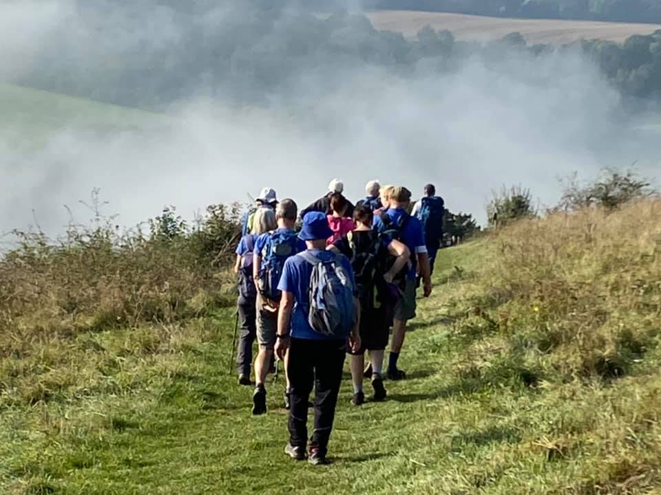
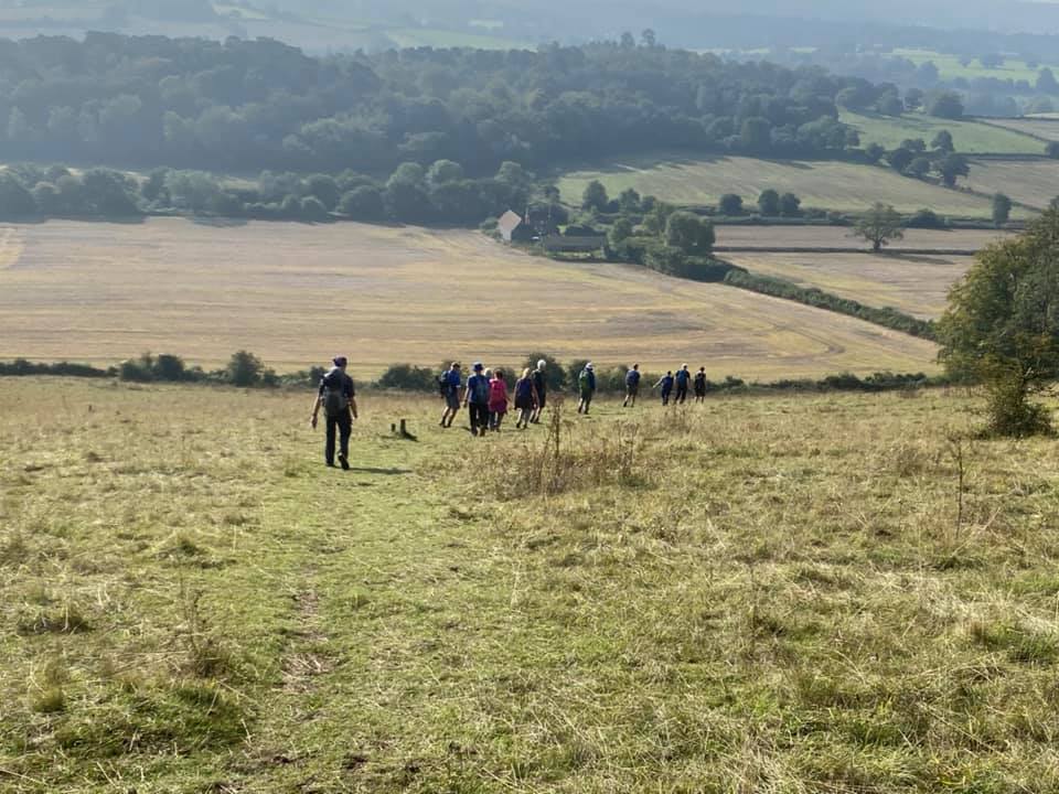
Founders' Tree Walk: Long Distance, Saturday 9th October 202115 walkers, 21.5 miles - leader Gavin Fuller
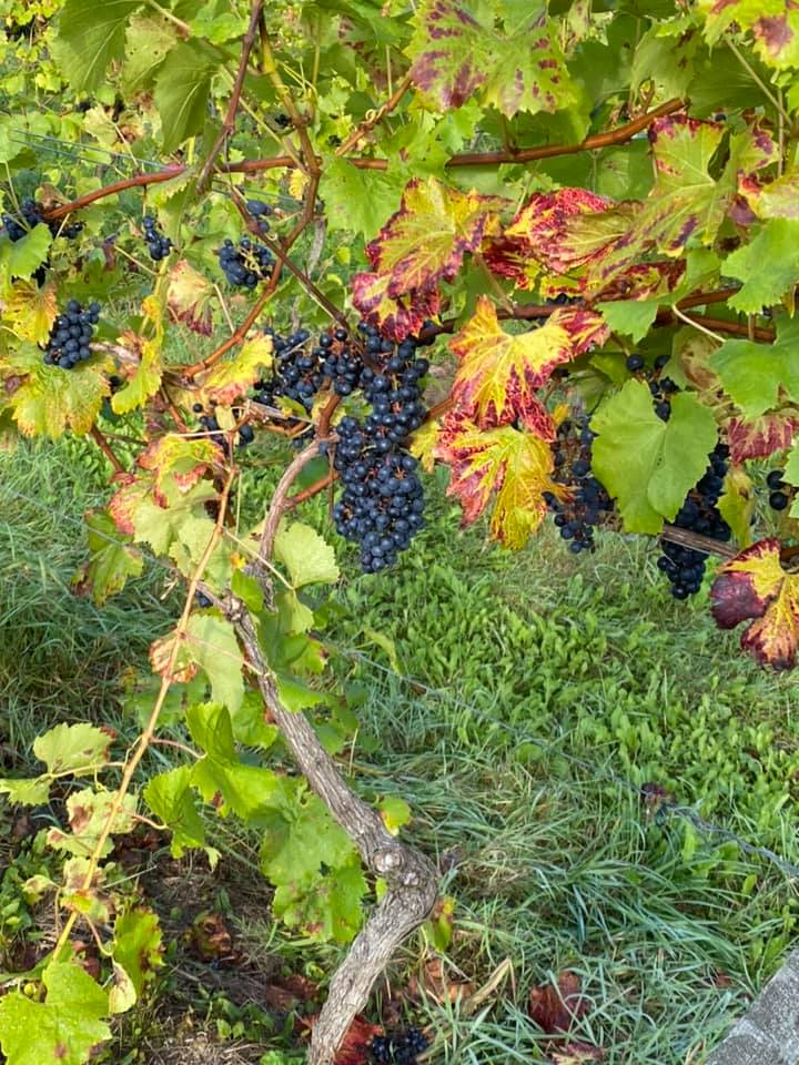
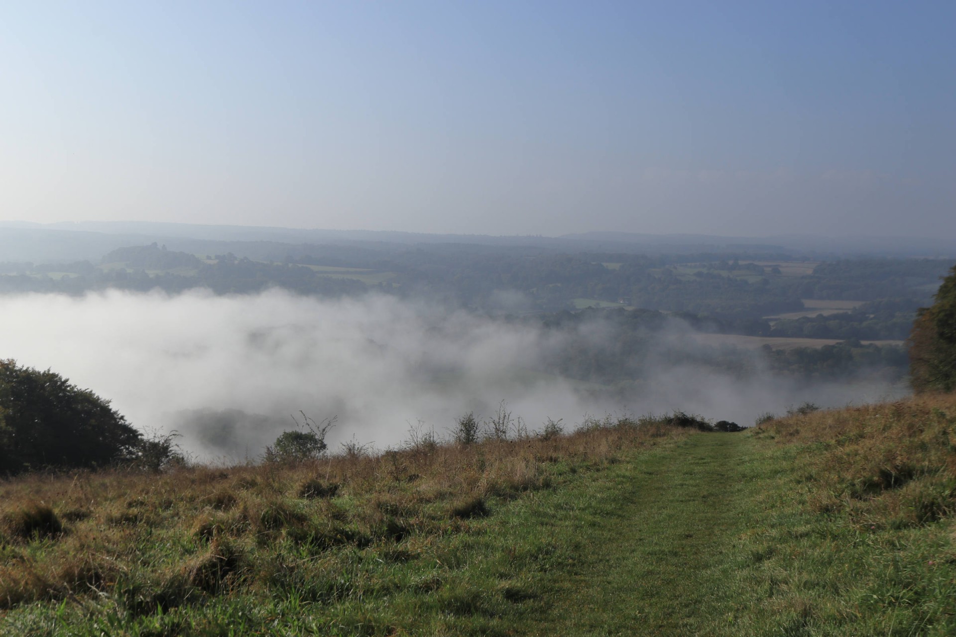
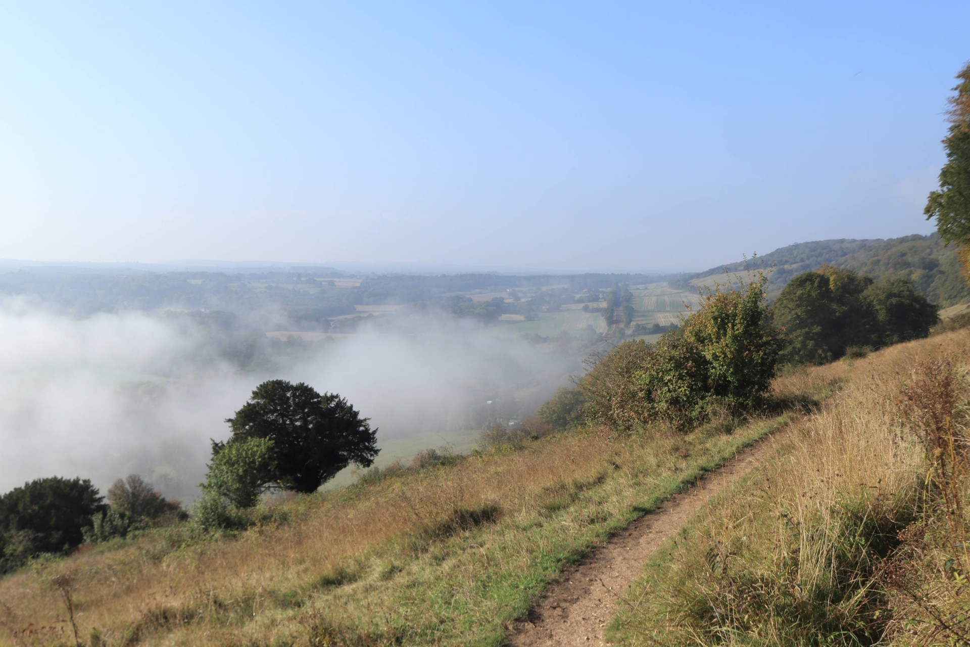
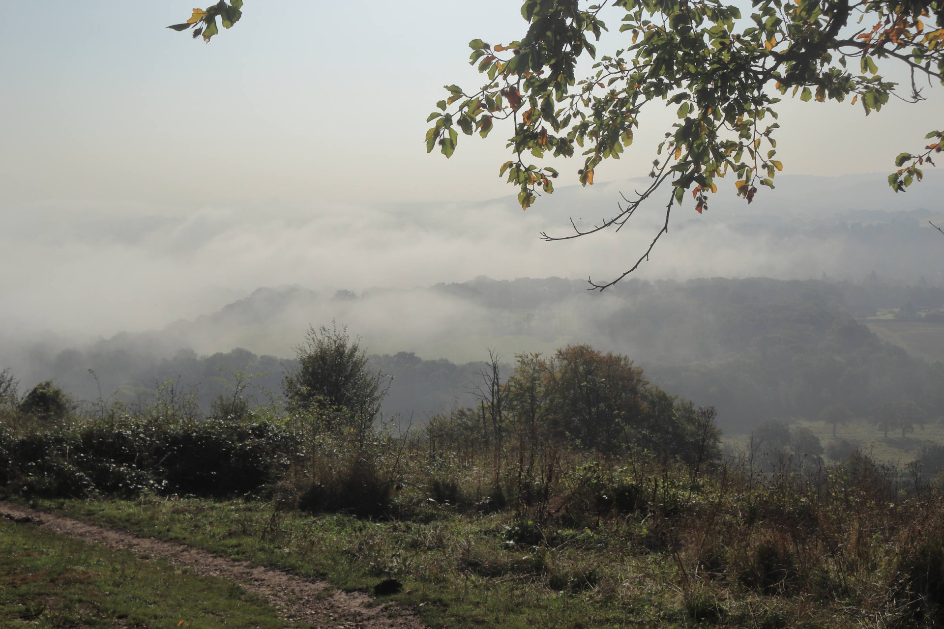
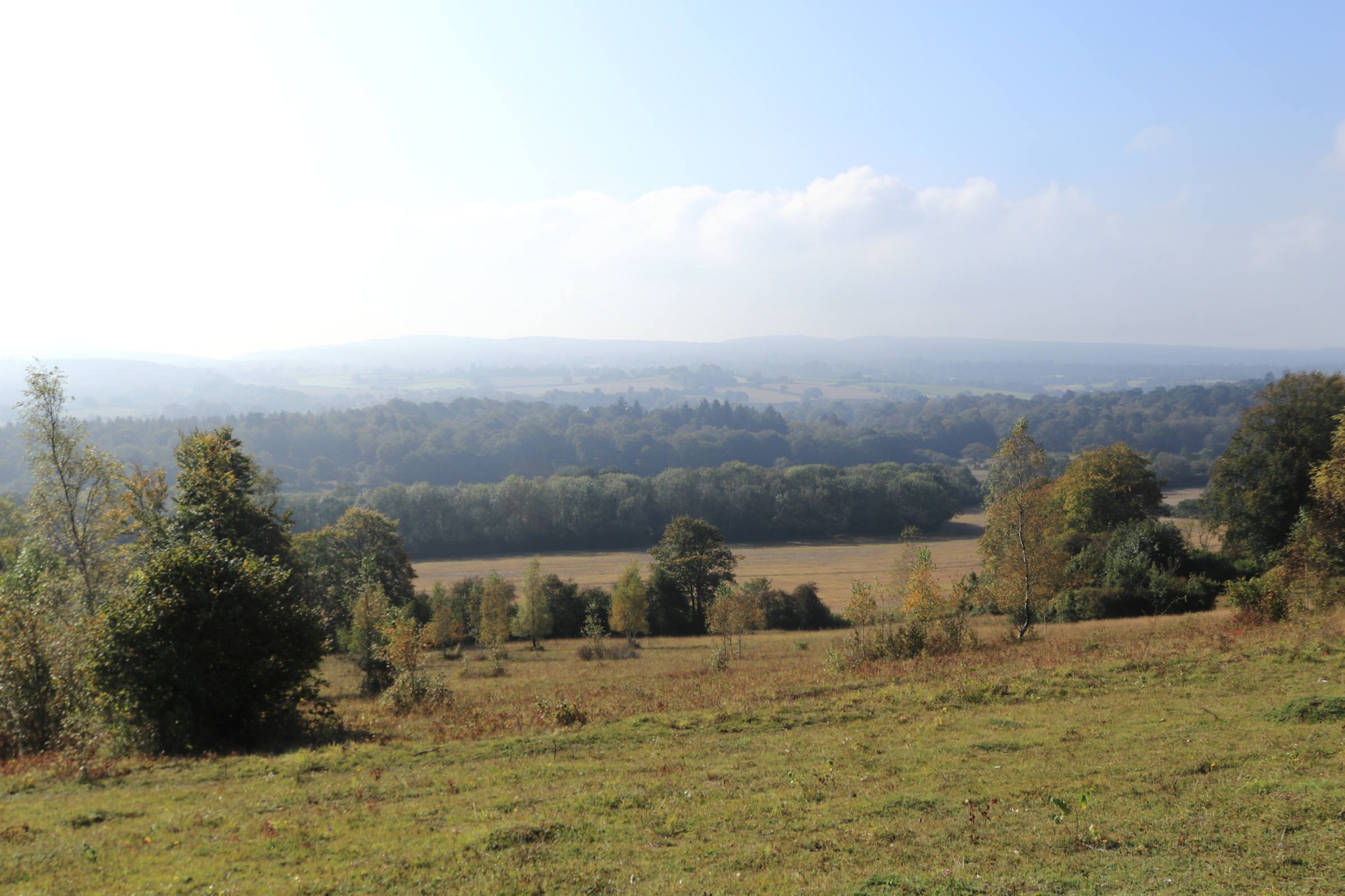
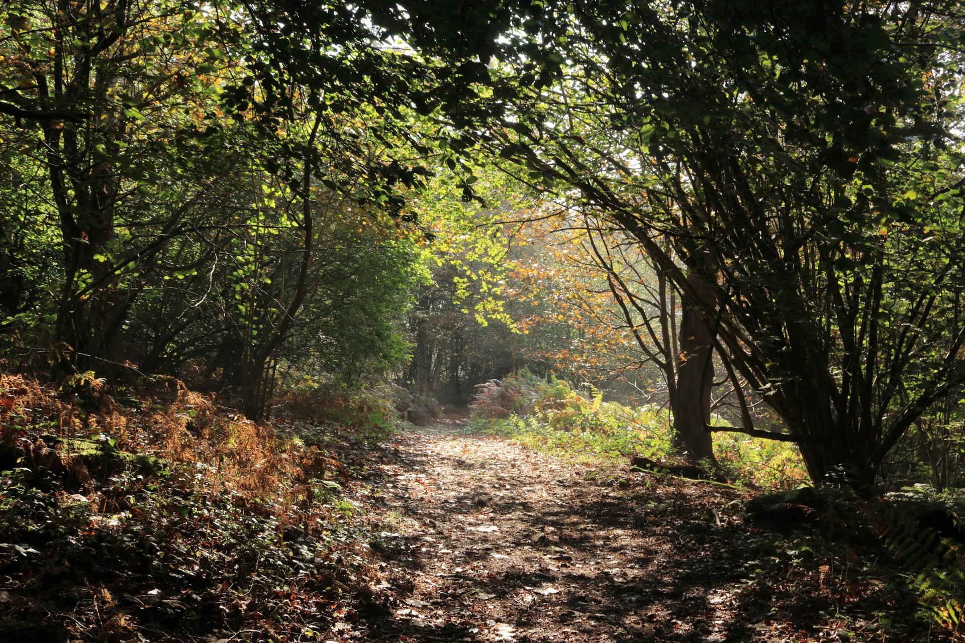
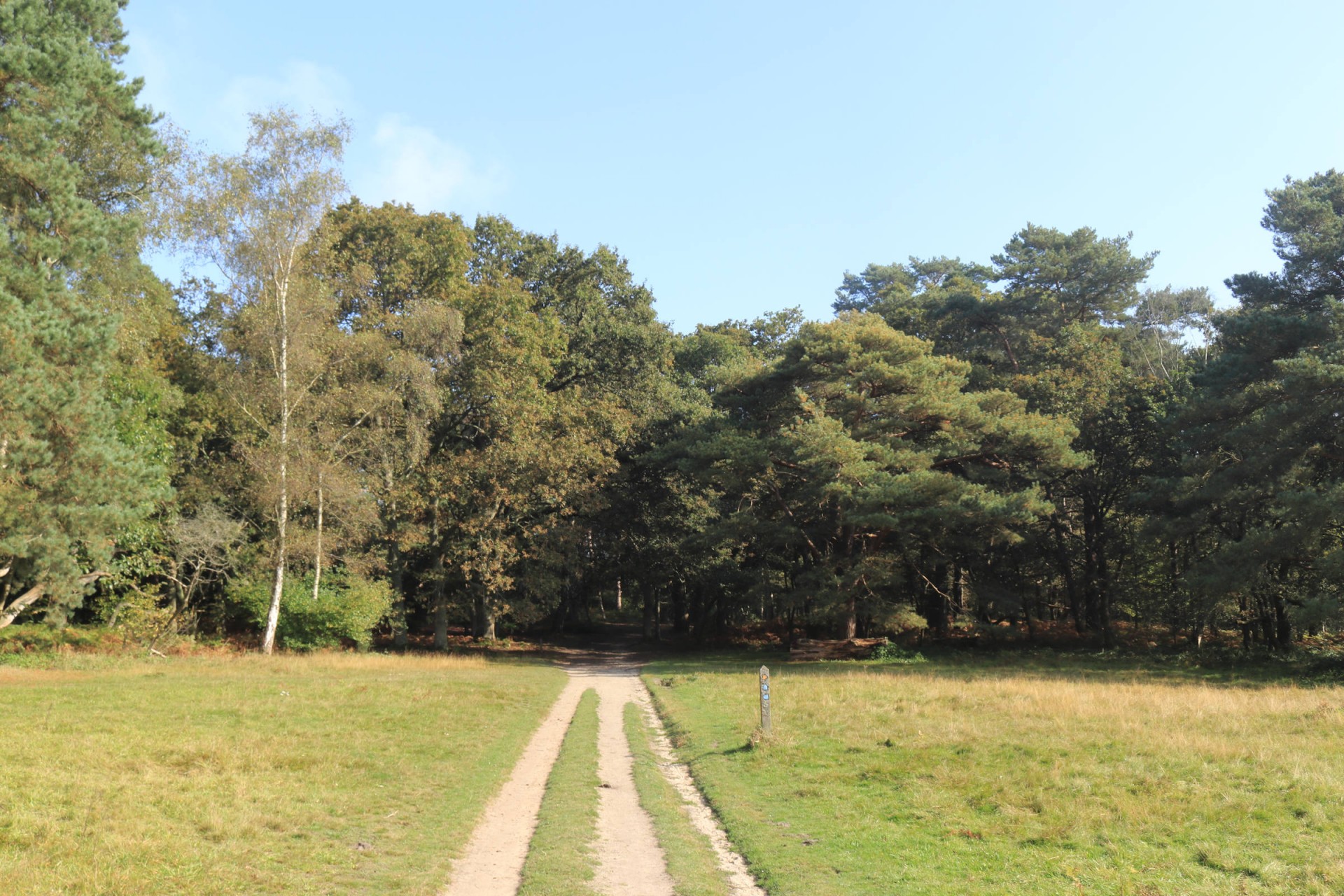
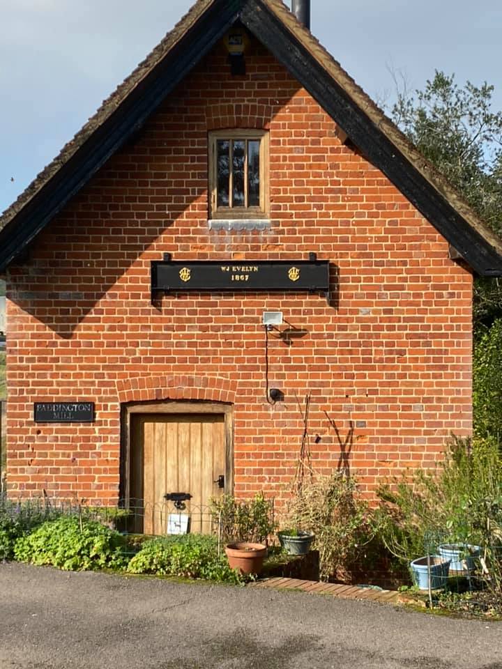
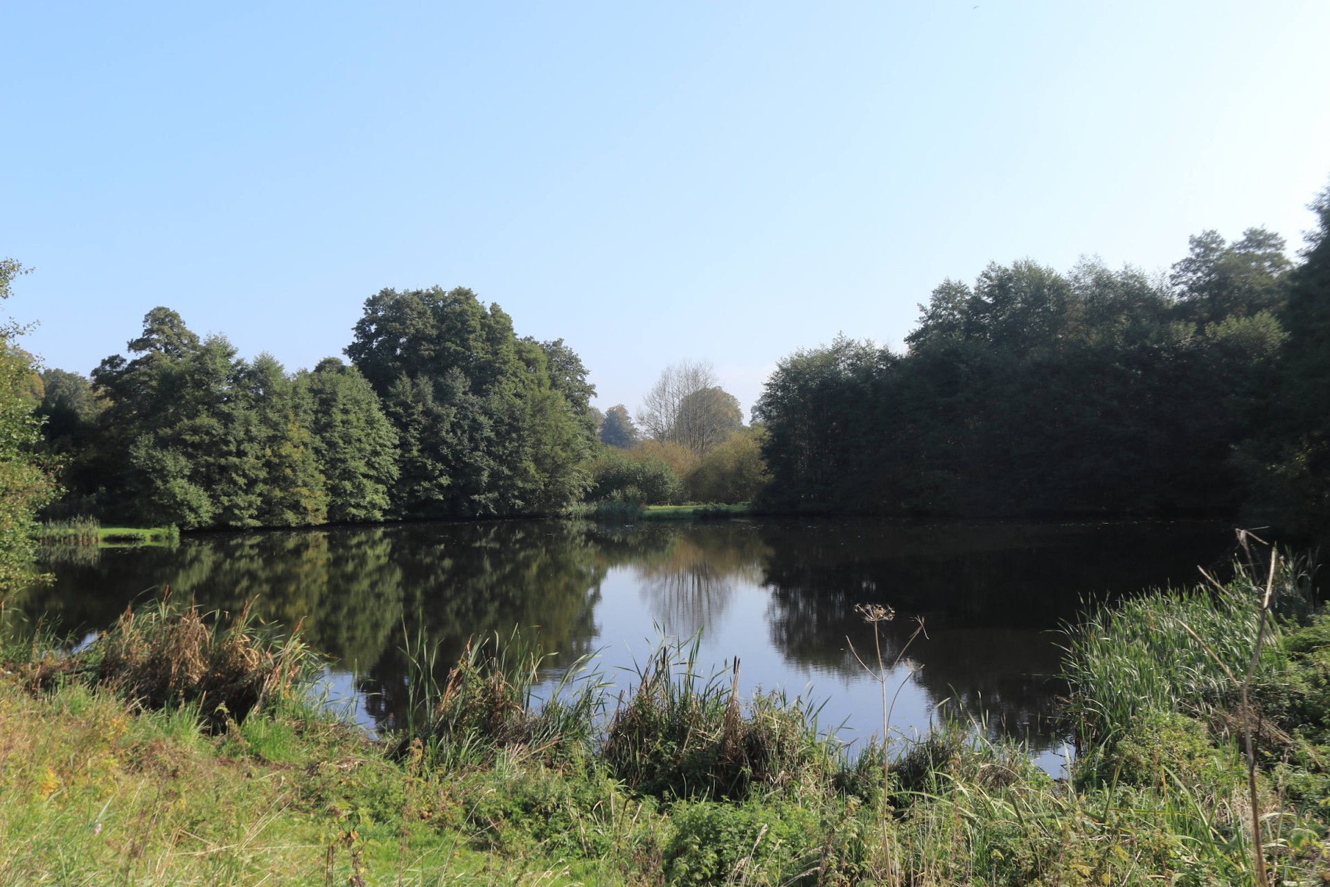
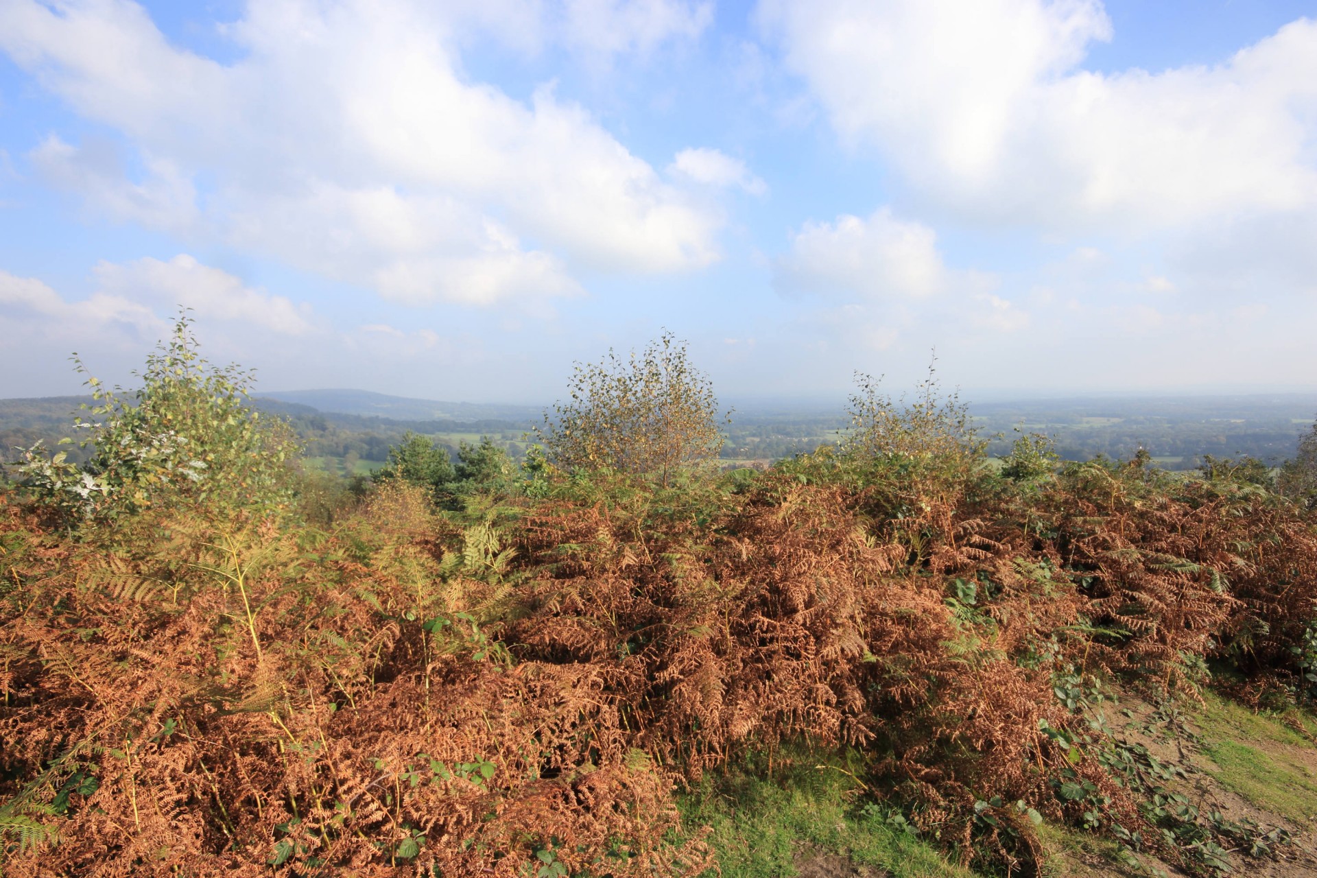
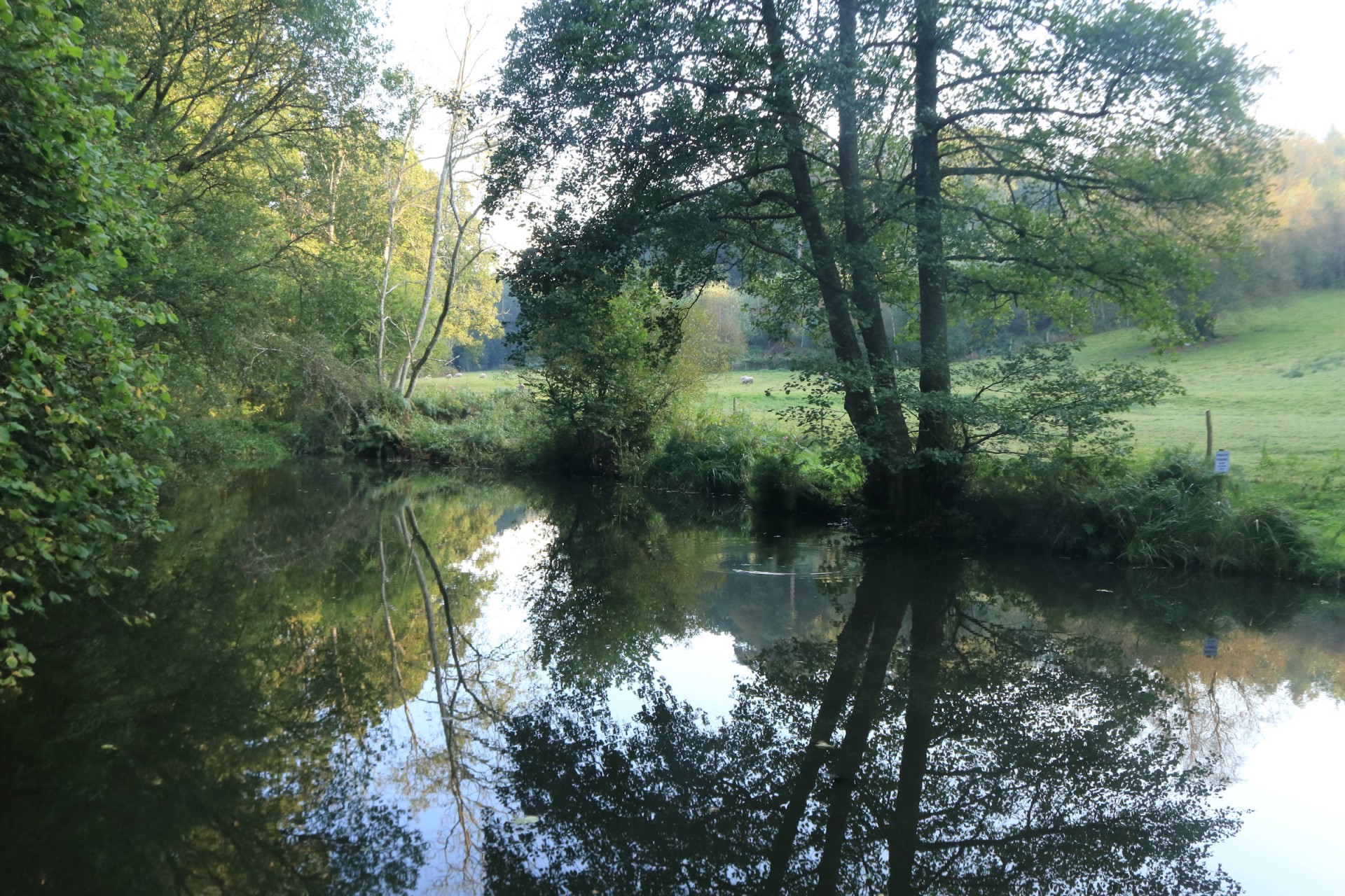
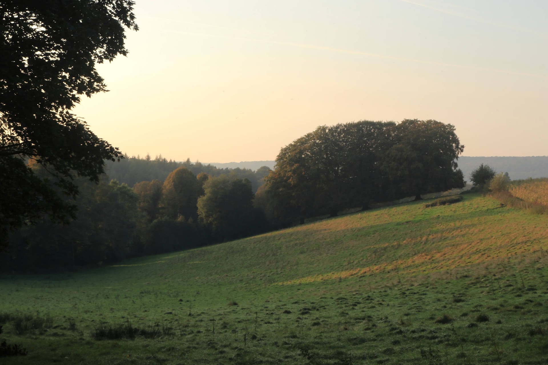
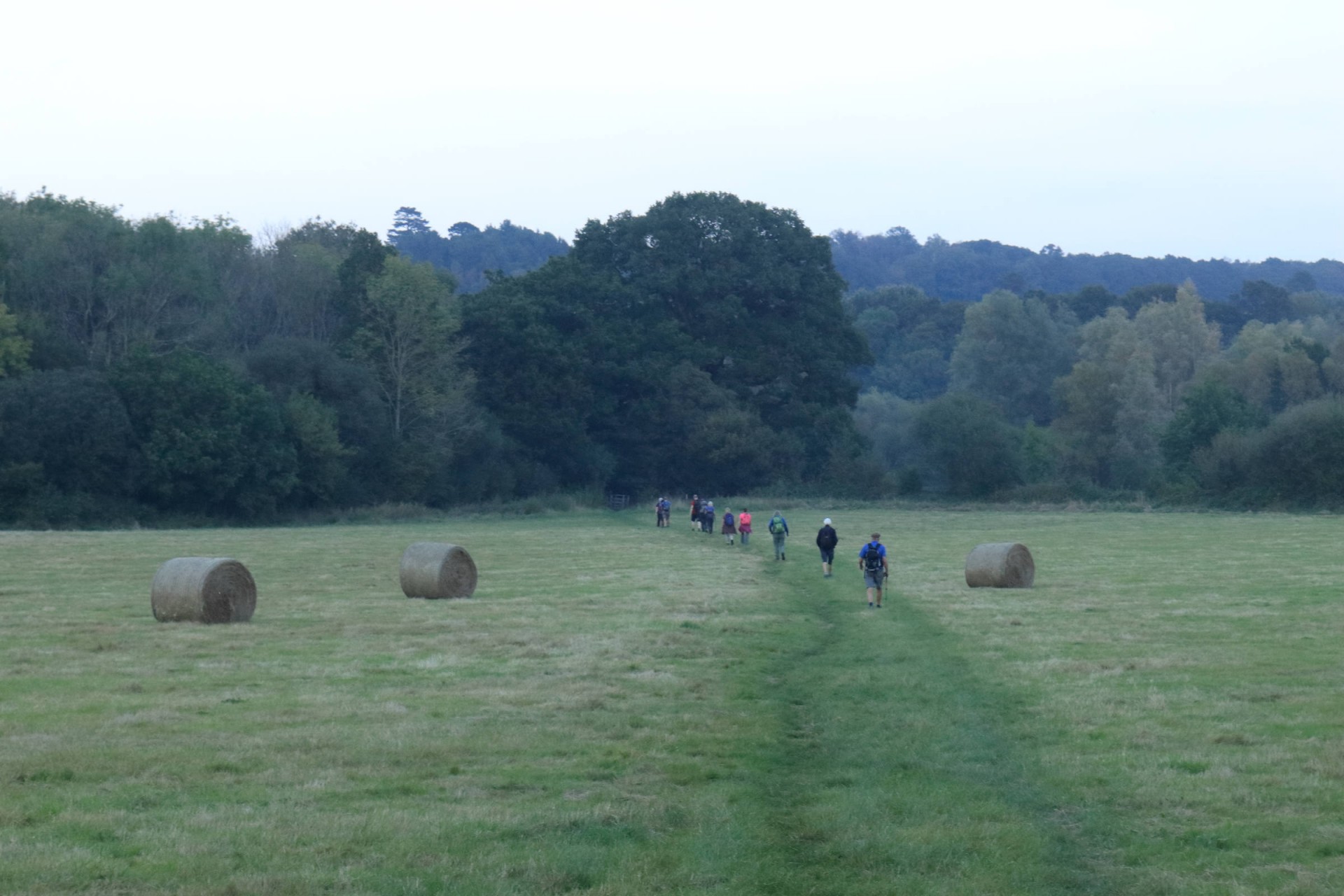
There was a good turnout at a misty Dorking station for the longest of the walks laid on to the Founders tree. The walk left the down through Denbies vineyard before climbing onto the North Downs where there were some interesting views over the mist and fog in the valley below as the route took in the two locations named for the LDWA''s founders Steer's Field and Blatchford Down before descending off the latter down a lesser-used path. The walk then passed through the atmospherically unlit Broomy Downs before heading past Paddington Farm to the quaint old houses of Sutton Abinger, and then to Peaslake to rendezvous with the shorter walk parties at the Hurtwood Inn, arriving bank on the booked time of 12.45 to the leader's pleasure. After a longer-than-planned lunch stop it was them up en masse to the Founders Tree (see elsewhere for the report of what happened there) whence the exigencies of time meant this group (save one who decided to remain with the other walkers) had to be anti-social and head off to the toposcope at Pitch Hill ahead of the rest, who it met coming back off the hill for a final goodbye, Thence it was on to the highest point of the day at Holmbury Hill before an undulating return to Dorking, not uneventfully with the likes of a newly-fallen tree on a narrow path to negotiate meaning the return to Dorking was somewhat later then intended. This did enable the group to appreciate the magical evening stillness of the area however, which combined with the fact that the train those returning to London caught (save one, who found the lure of Dorking's Lidl too hard to resist) was one Colin Saunders decided to get due to the previous one being full of drunken ramblers meant the lateness did have some upsides! Curiously both the distance and ascent (1,936ft) were more than when the leader and Barry the backmarker had previously recced the route!
Photographs by Ian Watson and Gavin Fuller
Other Files
Download Walk ReportGPX
A GPX file of the above route may be downloaded by clicking the link below.
Note: GPX files of Group Walks are created by LDWA Group members, and may be downloaded only by other LDWA members. They should not be made available outside the LDWA, and are used at members' own risk.
Login to Download (Members Only)You can use the interactive controls to zoom in and out and to move around the map, or click on a path or a marker for more info. (interactive map help)
You can use the interactive controls to zoom in and out and to move around the map, or click on a path or a marker for more info. (interactive map help)
© OpenStreetMap contributors under Open Database Licence
Rights of way data from selected Local Authorities
Large scale digital mapping is provided by John Thorn
At high zoom levels the route is indicative only.
Gallery

Maps:
You can use the interactive controls to zoom in and out and to move around the map, or click on a marker for more info. (interactive map help)
© OpenStreetMap contributors under Open Database Licence.
Rights of way data from selected Local Authorities.
Large scale digital mapping is provided by John Thorn.


