


Young at Heart in a Two Dons Spring
Sun 9th May 2021
Walk Details:
A linear walk from Croydon to Coulsdon taking in various green spaces hopefully still displaying their springtime finery
Entry Details:
Walk Report
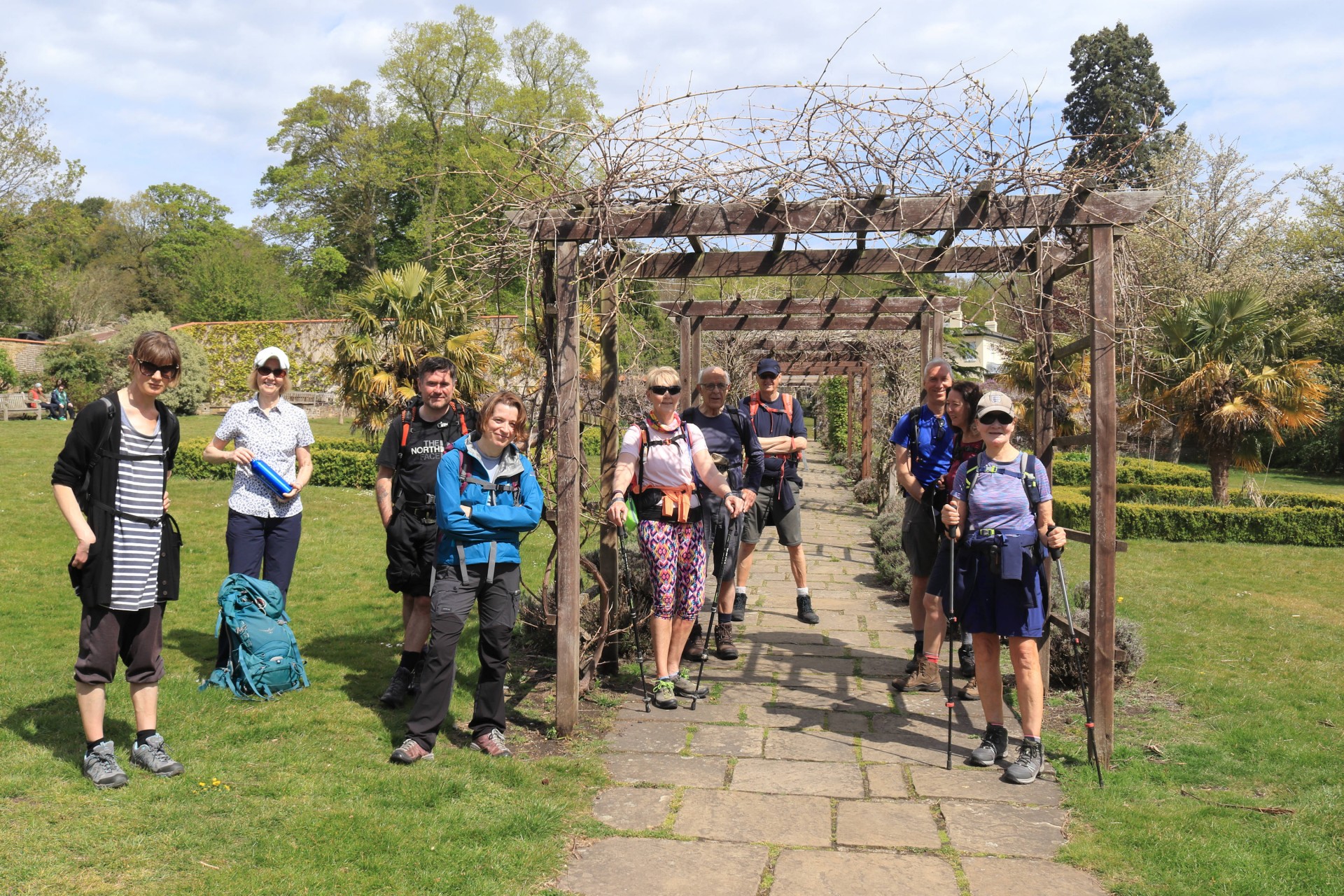
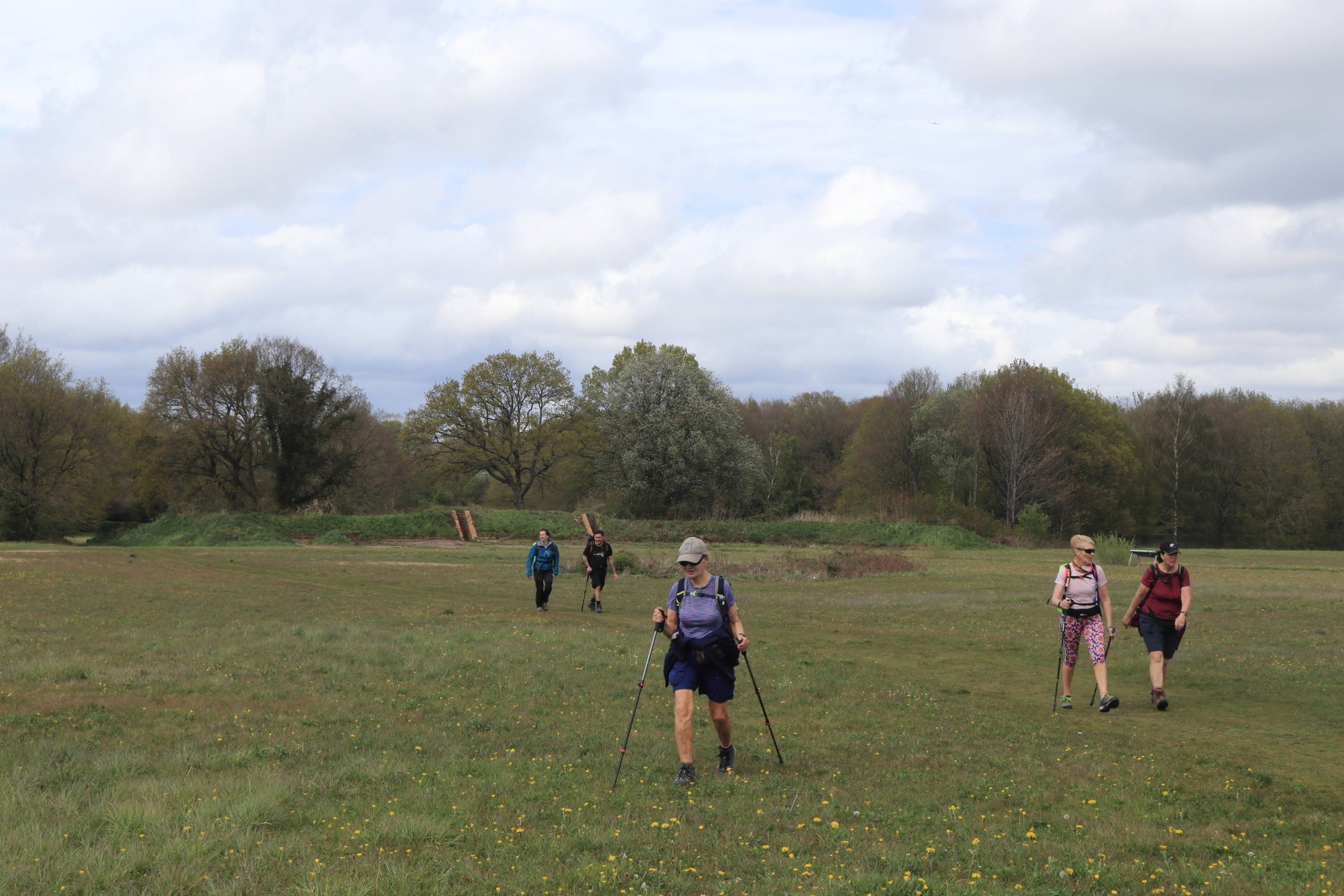
Young at Heart in a Two Dons Spring, Sunday 9th May 202111 walkers, 20.75 miles - leader Gavin Fuller
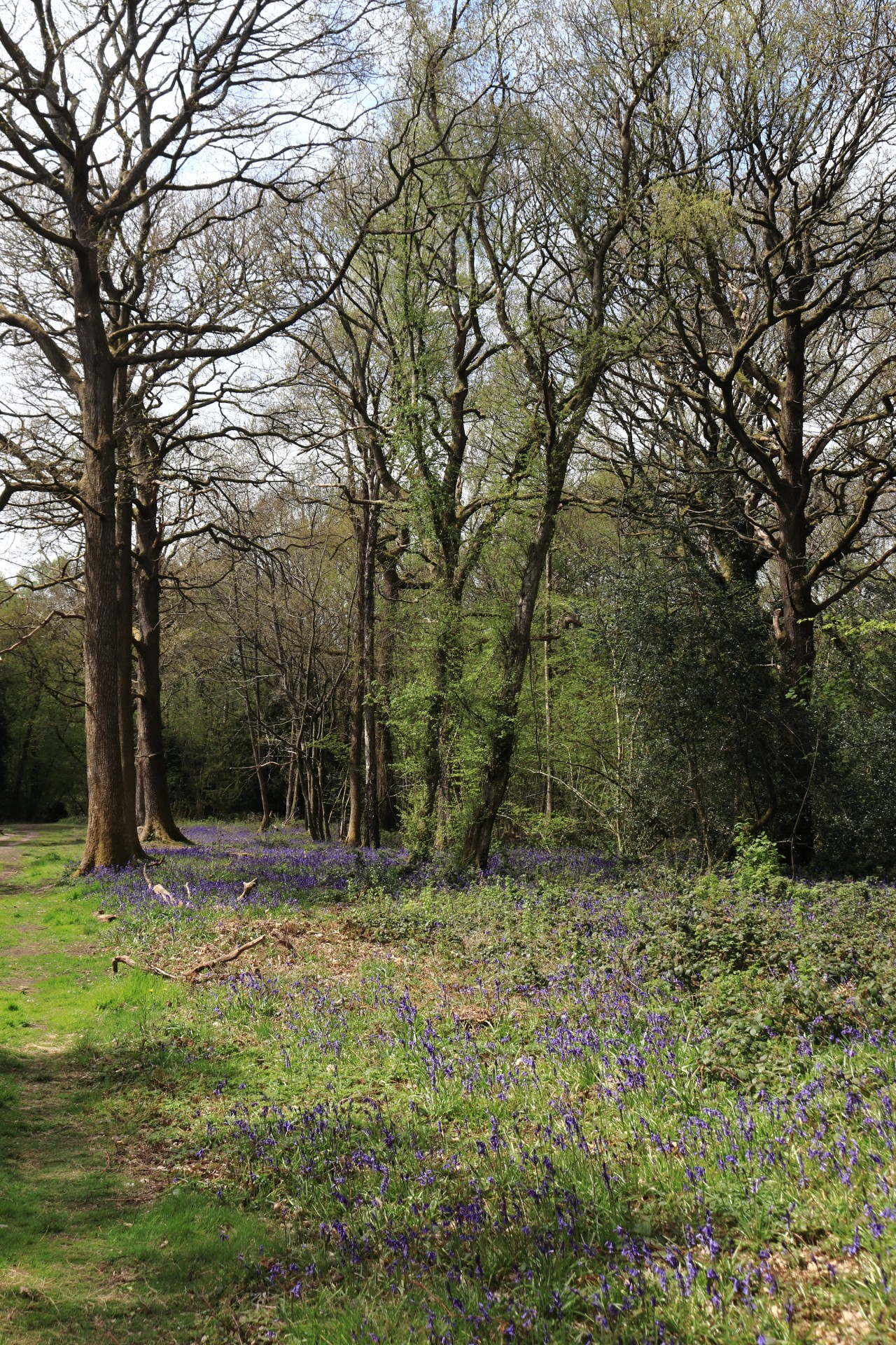
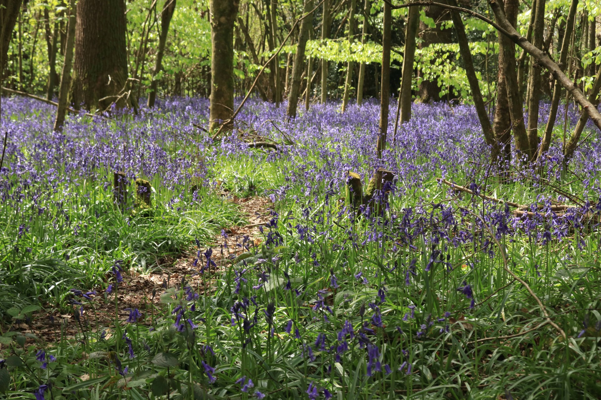
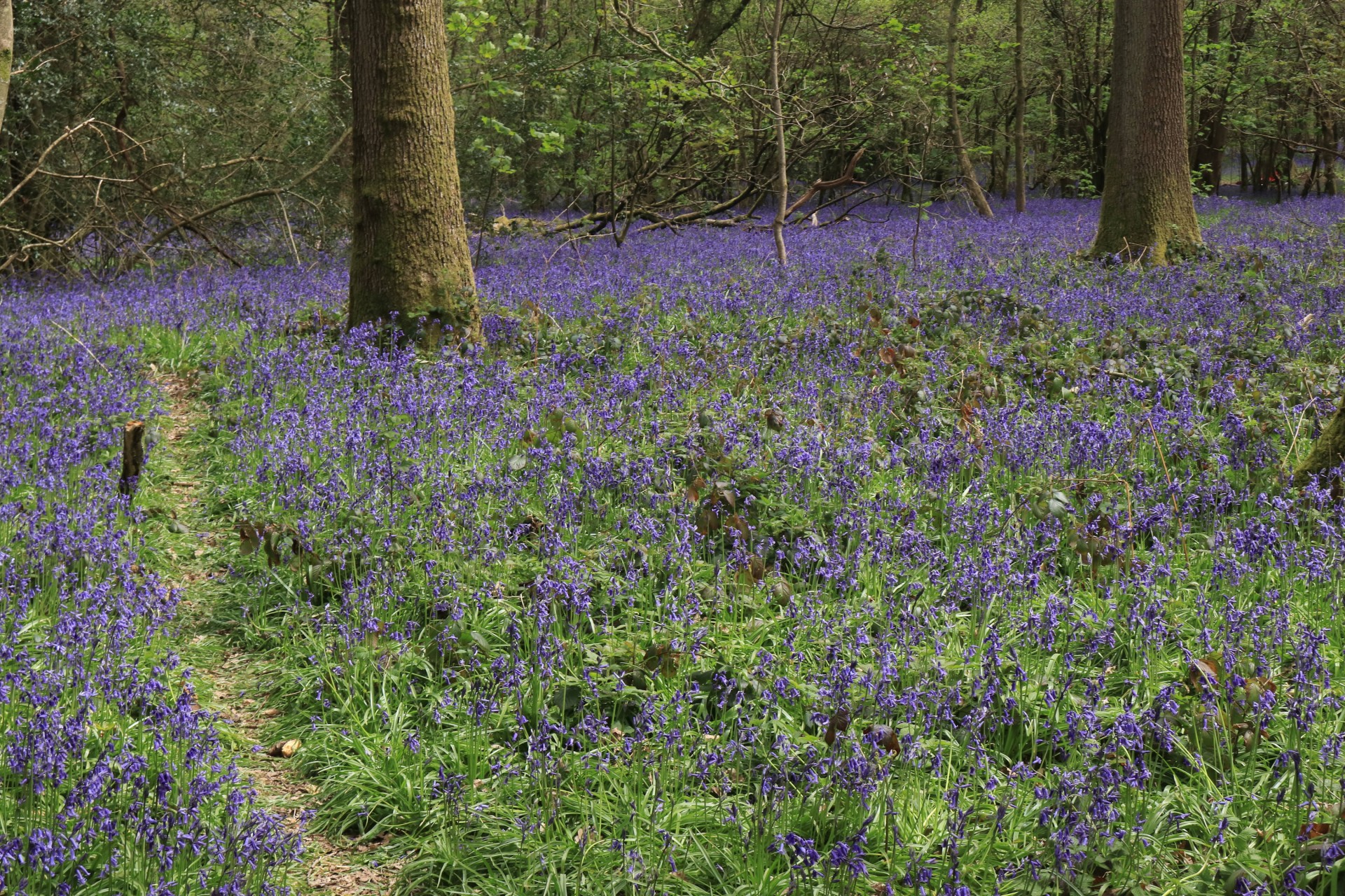
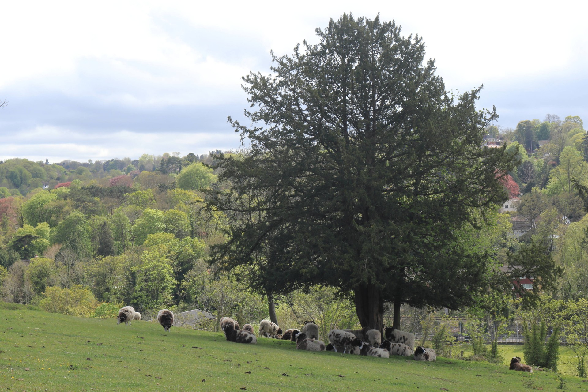
The second day of the leader's walking weekend saw considerably better weather than the first, although the group was surprised given a dry forecast to be inconveniently rained upon just as the lunch venue was reached; fortunately it soon passed over and didn't cause too much inconvenience. Most of the rest of the day was generally cloaked in sunshine and good visibility, enabling the group to see the route at something like its spring best. It was designed as a bluebell walk (hence the possibly cryptic title - anybody remember the 80s band The Bluebells and their hit "Young at Heart"?) and there were plenty on show starting in the first green space of Park Hill and finishing on the descent into Coulsdon from Farthing Down.
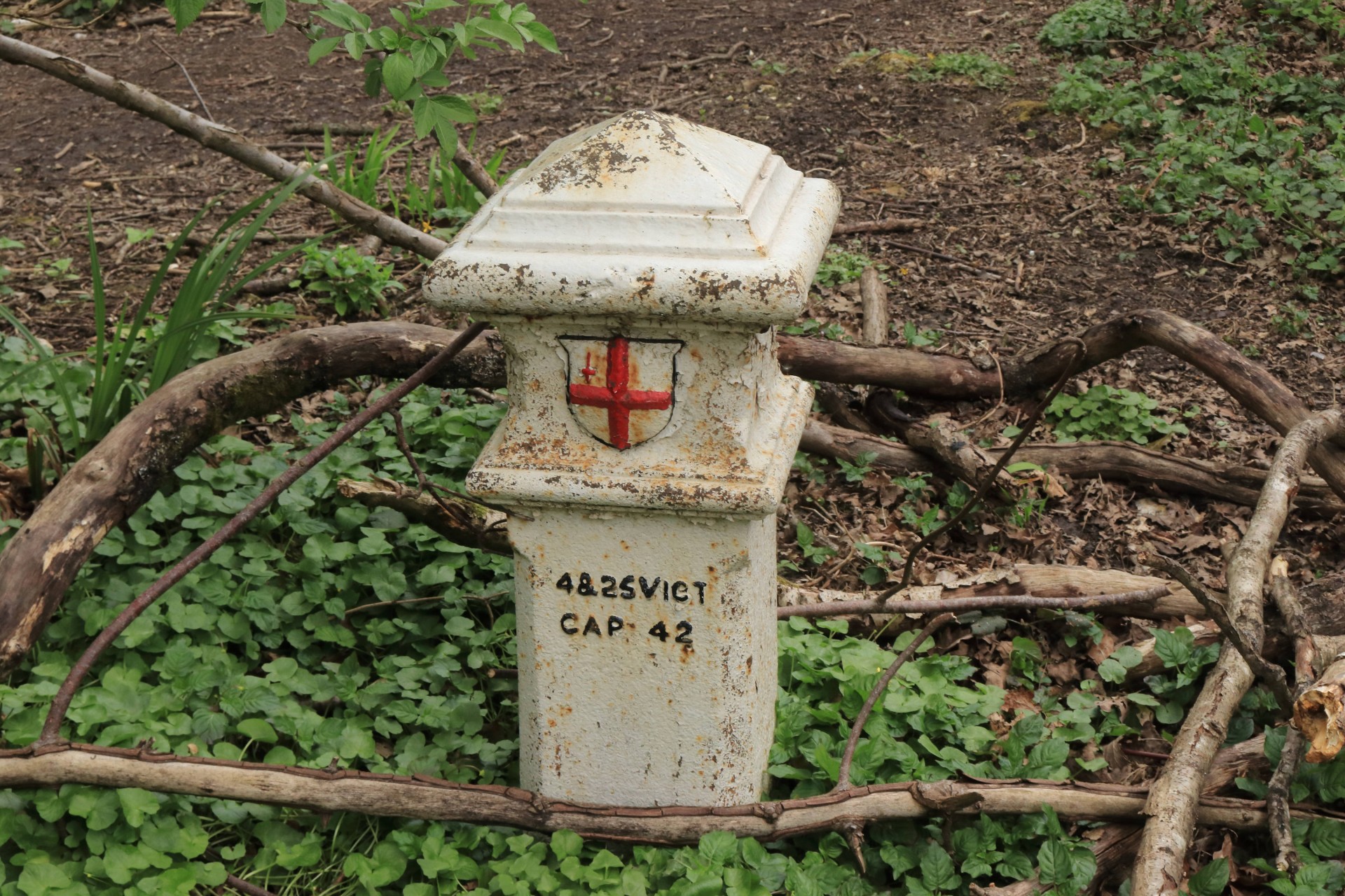
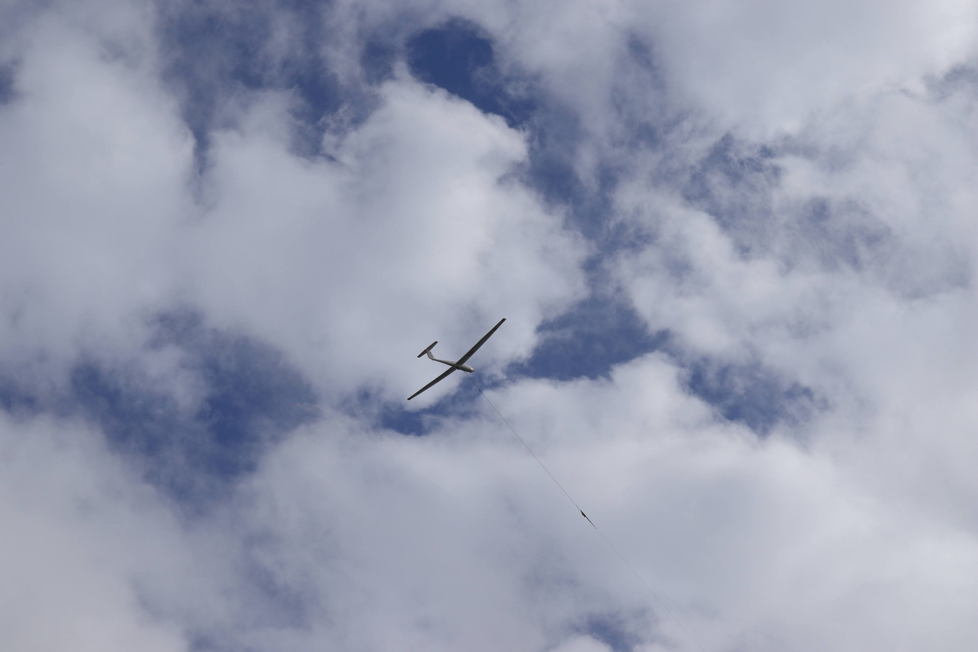
Aside from multiple woods and their blue carpets the route was a bit like the Ark in its attractions - 2 walled gardens, 2 private roads, 2 coal tax posts and 2 downs; additional experiences were a full traverse of the Addington Hills and even the sight of a glider being launched at Kenley Airfield. Having recced the route the previous month the leader was a tad surprised to discover his GPX trackers gave a distance a full mile and a quarter further than the previous occasion, but excepting the one who left at the official break point at Kenley 13.5 miles in all survived the route and its 1,218ft of ascent.
Photographs by Gavin Fuller
Other Files
Download Walk ReportGPX
A GPX file of the above route may be downloaded by clicking the link below.
Note: GPX files of Group Walks are created by LDWA Group members, and may be downloaded only by other LDWA members. They should not be made available outside the LDWA, and are used at members' own risk.
Login to Download (Members Only)You can use the interactive controls to zoom in and out and to move around the map, or click on a path or a marker for more info. (interactive map help)
You can use the interactive controls to zoom in and out and to move around the map, or click on a path or a marker for more info. (interactive map help)
© OpenStreetMap contributors under Open Database Licence
Rights of way data from selected Local Authorities
Large scale digital mapping is provided by John Thorn
At high zoom levels the route is indicative only.
Gallery

Maps:
You can use the interactive controls to zoom in and out and to move around the map, or click on a marker for more info. (interactive map help)
© OpenStreetMap contributors under Open Database Licence.
Rights of way data from selected Local Authorities.
Large scale digital mapping is provided by John Thorn.


