


An alternative Essex Way part 3
Sat 14th Aug 2021
Walk Details:
Event Type
Group Walk
Region / Area
Southern England / Essex
Local Group
London
Distance
18ml.
Start Time
09:45
Route
Cressing Station (8:47 from Liverpool Street, travel in front 5 coaches of train no exit from rear of train at Cressing)
Finish: Bures Station
To the Suffolk border
General Notes
Car users park at Witham and catch train to Cressing.
Buy return to Bures, return train hourly service so be prepared for possible late finish.
Picnic lunch recommended, lunch stop at visitor centre where light refreshments are available
Web Site
Start
Finish
Entry Details:
Cost
Walk Report
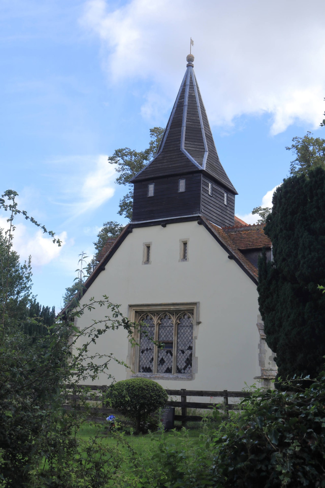
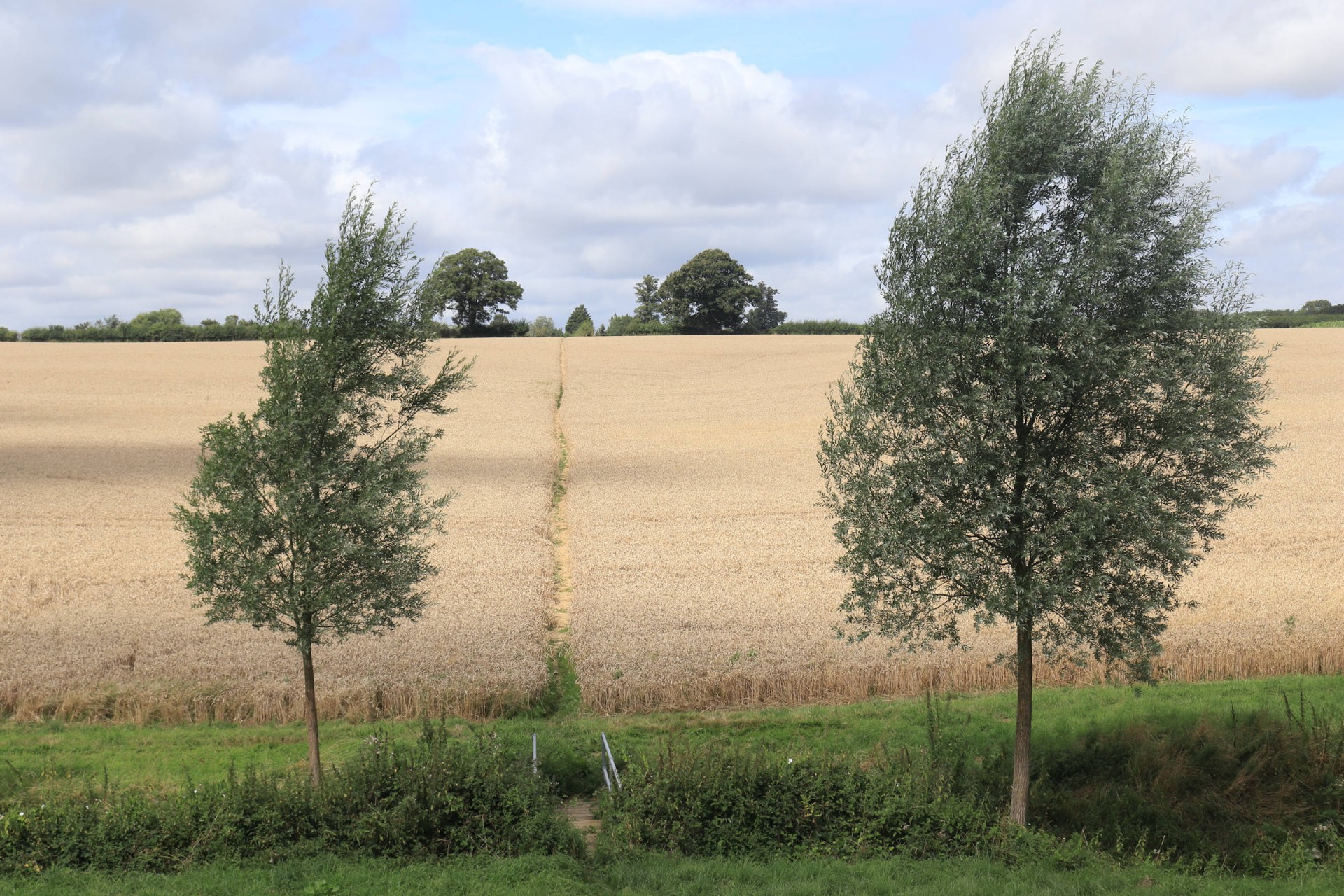
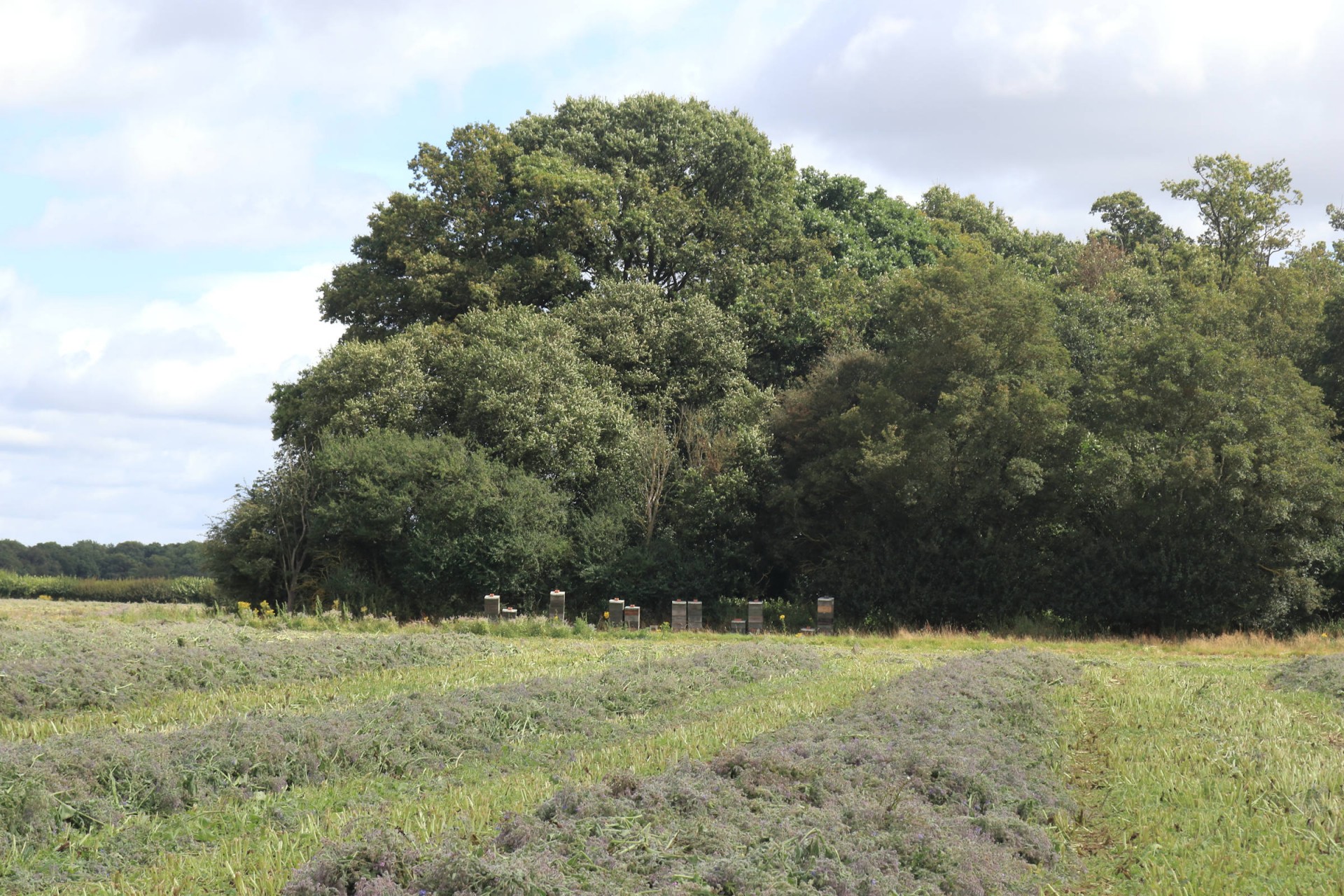
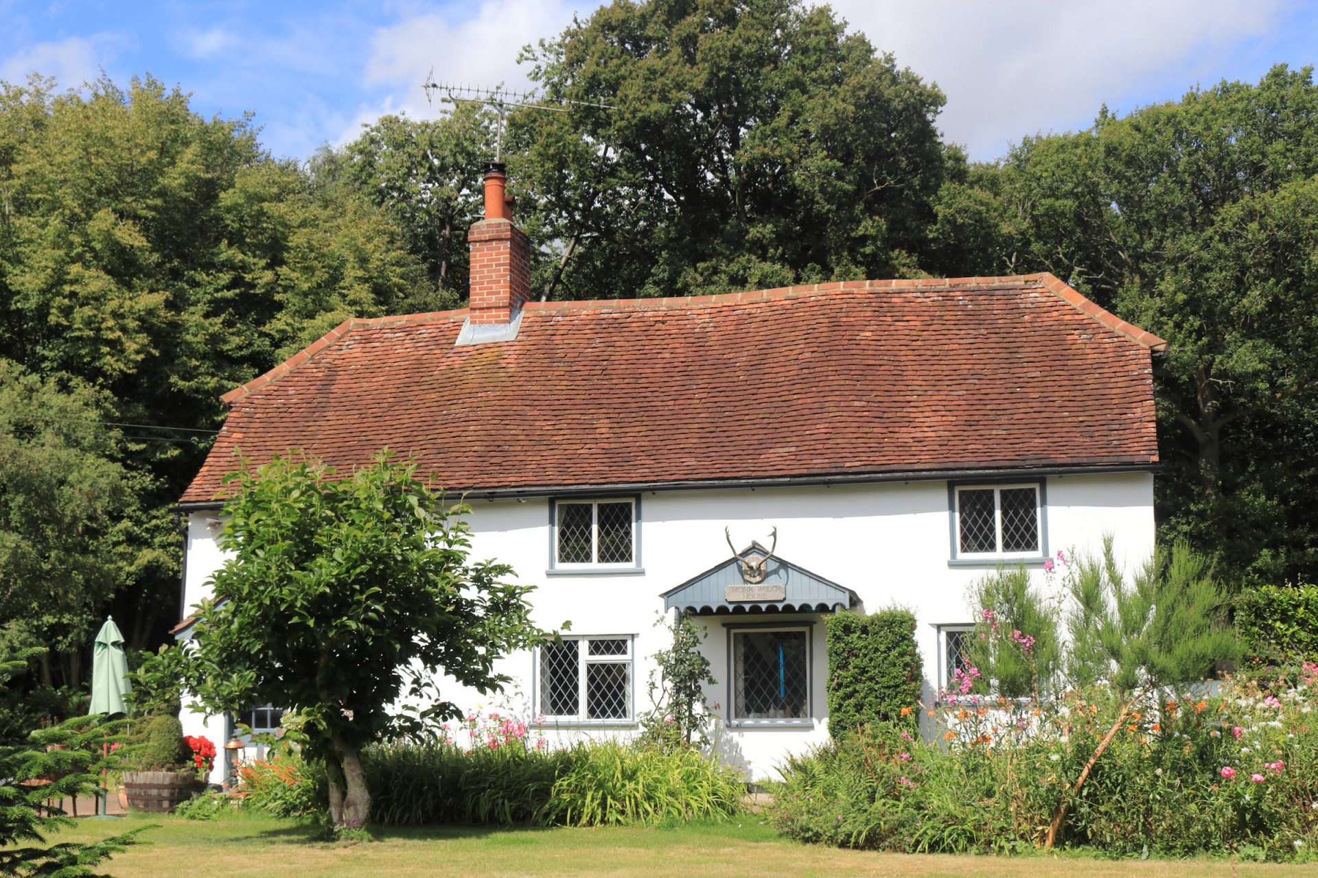
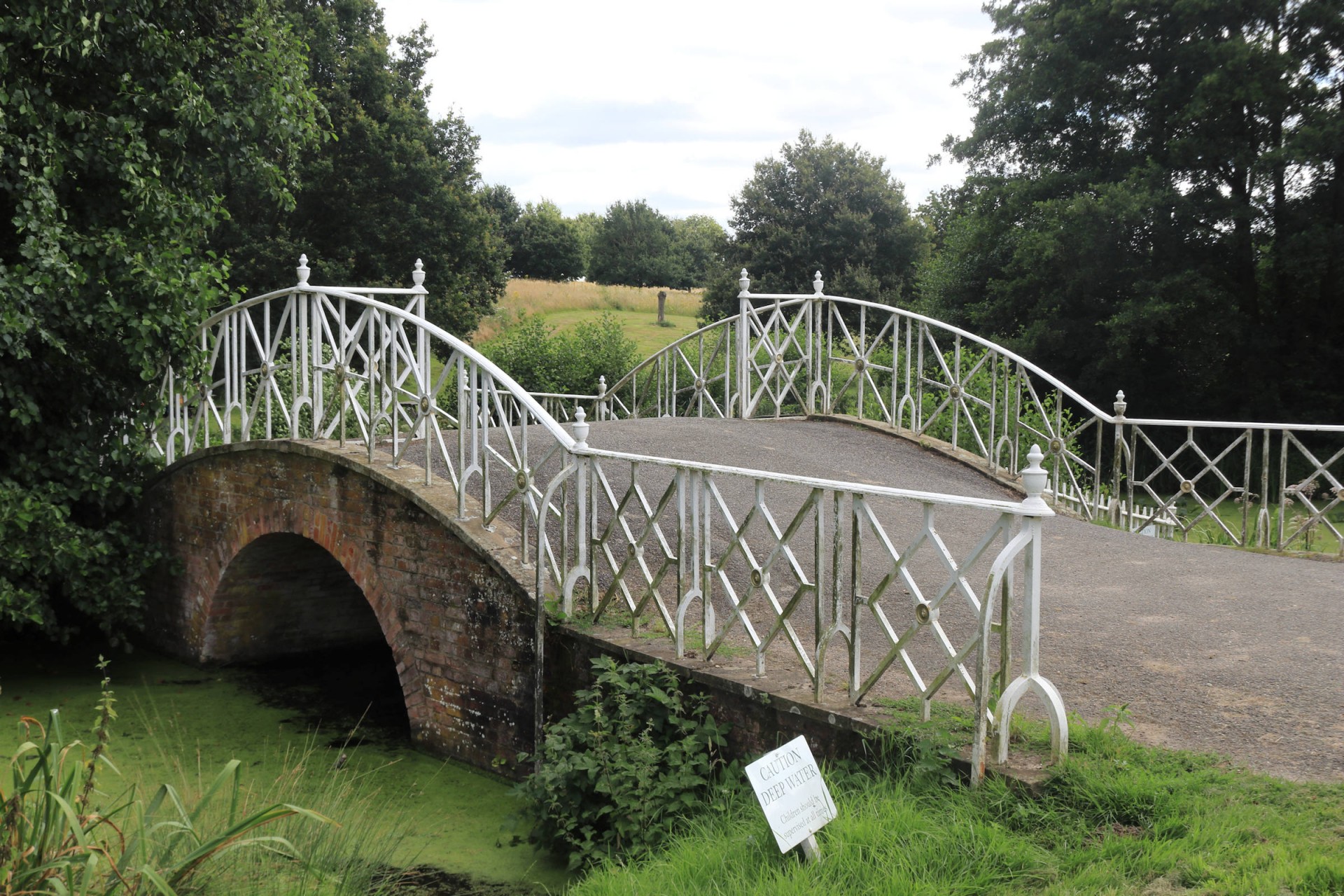
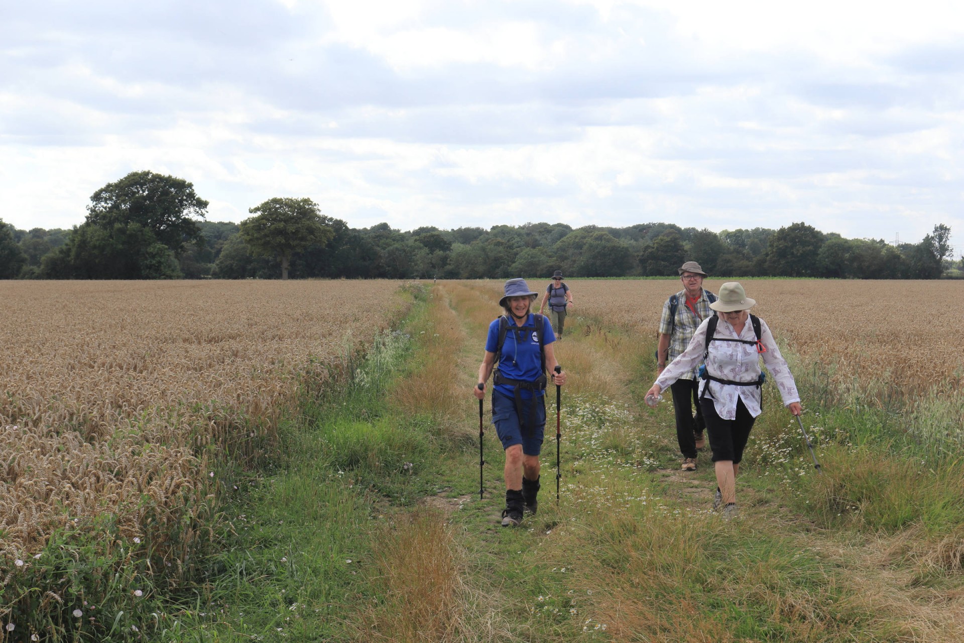
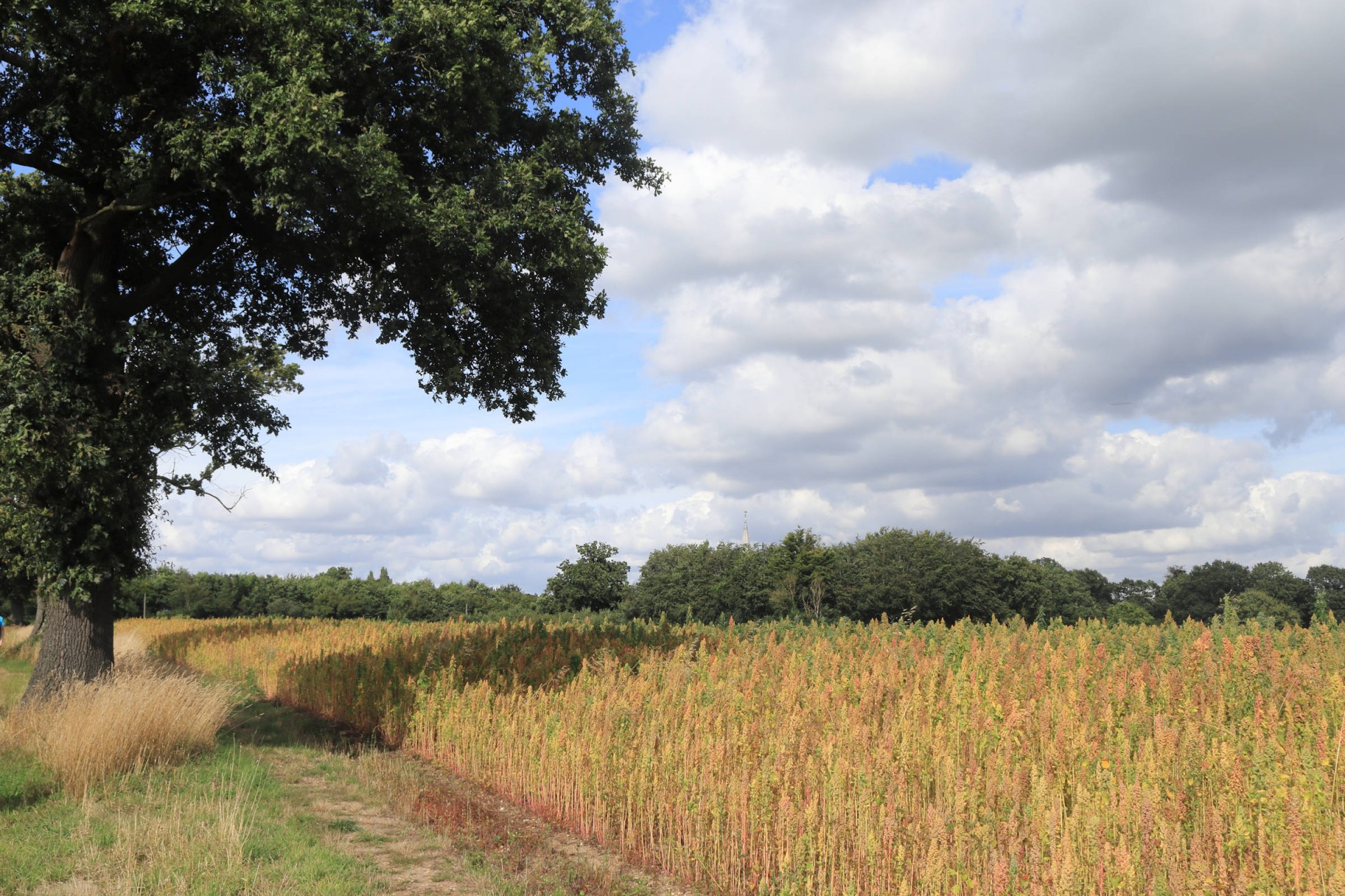
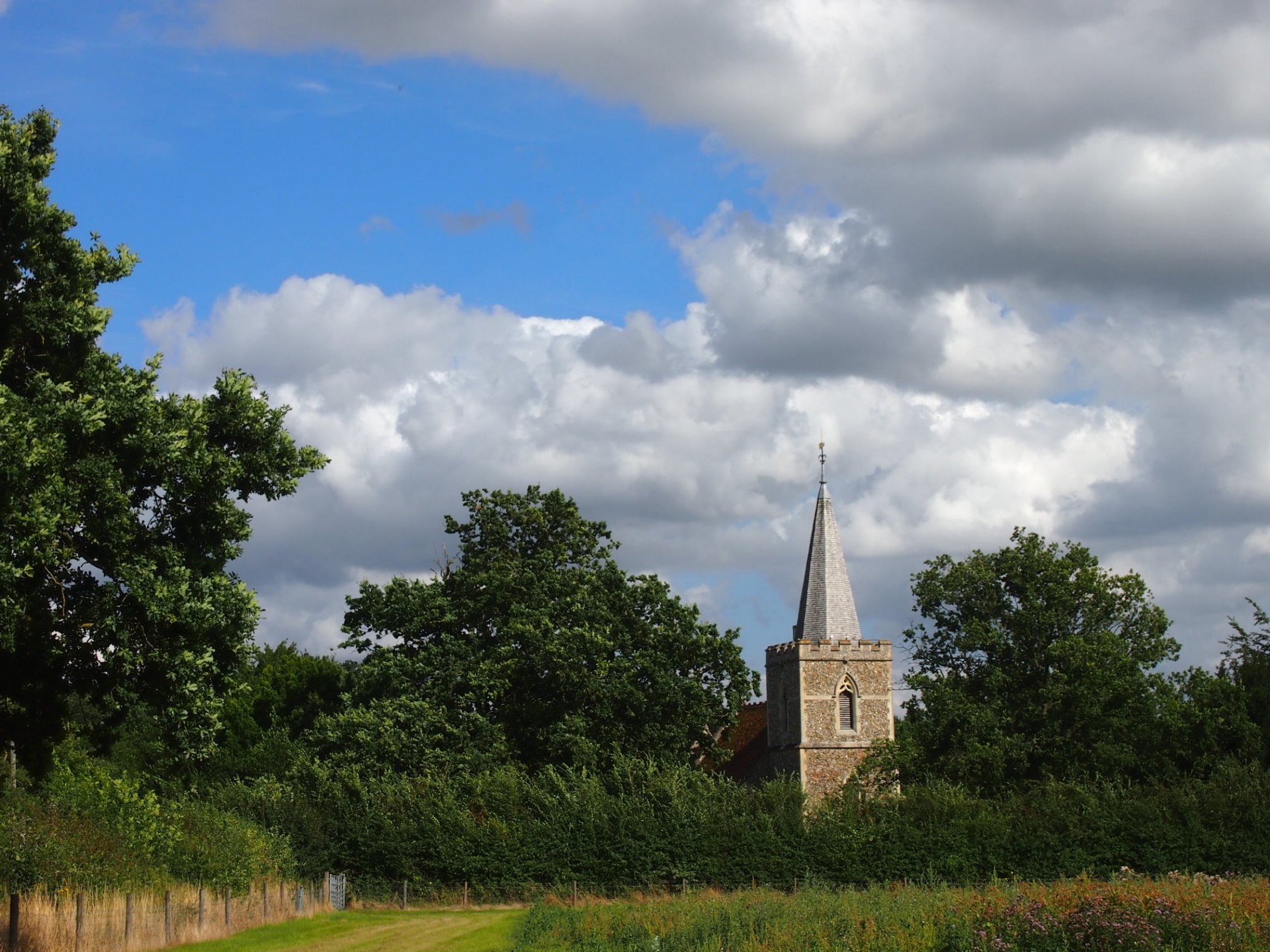
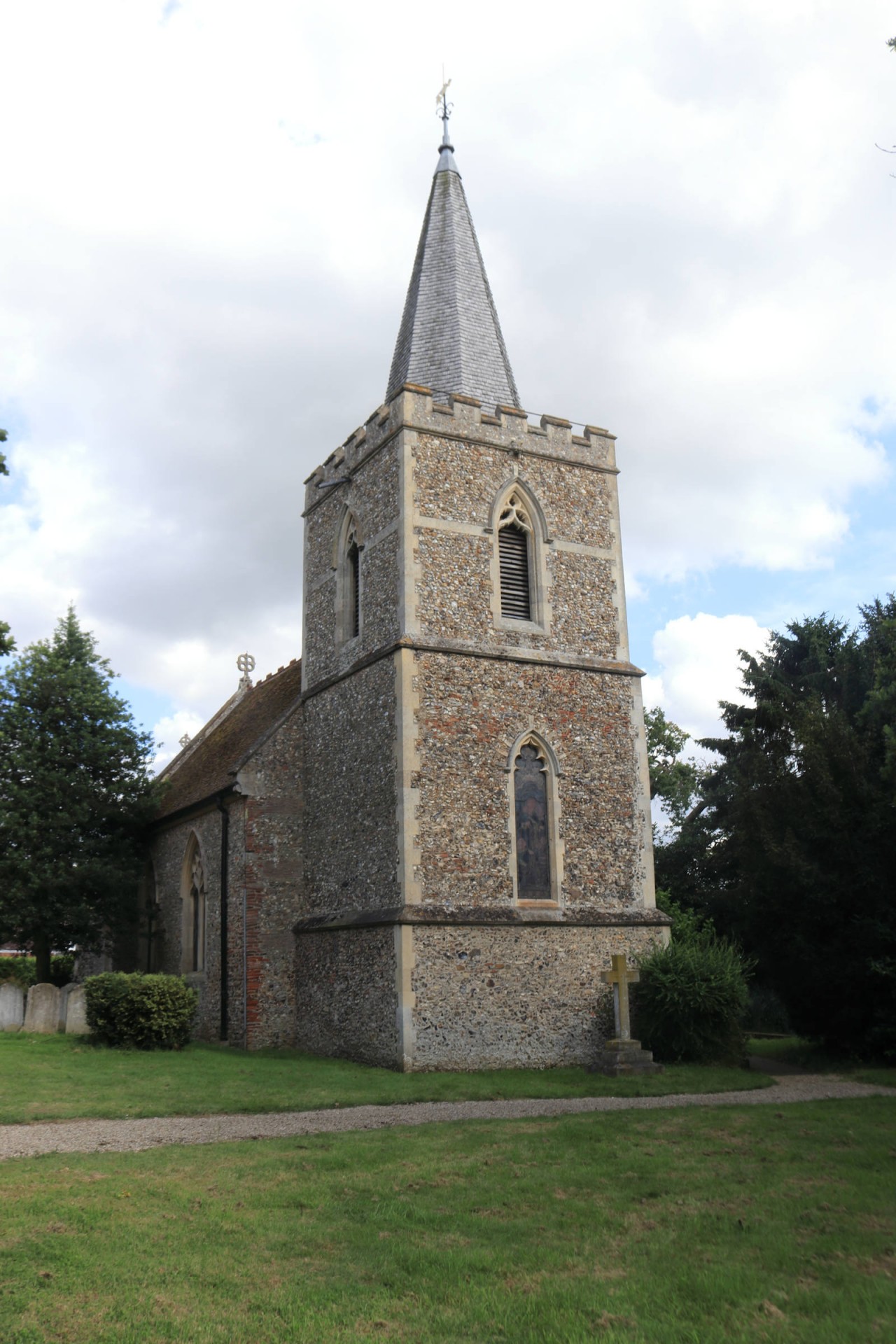
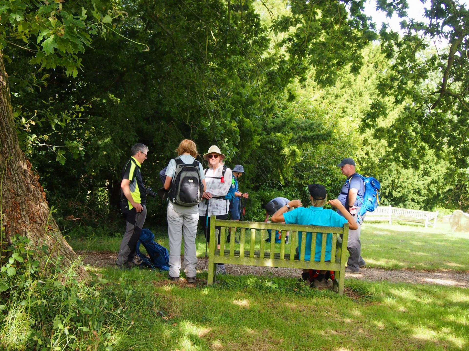
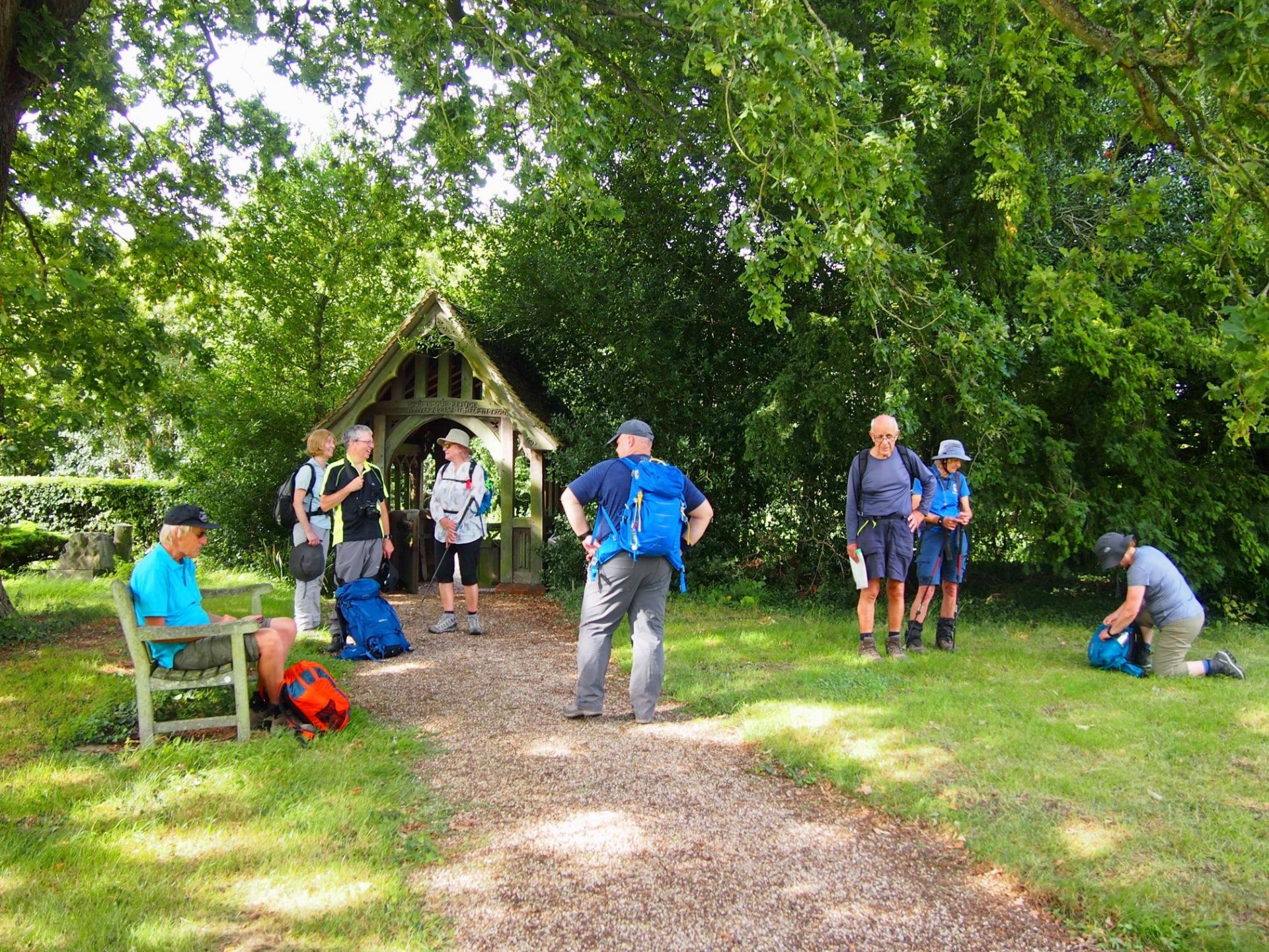
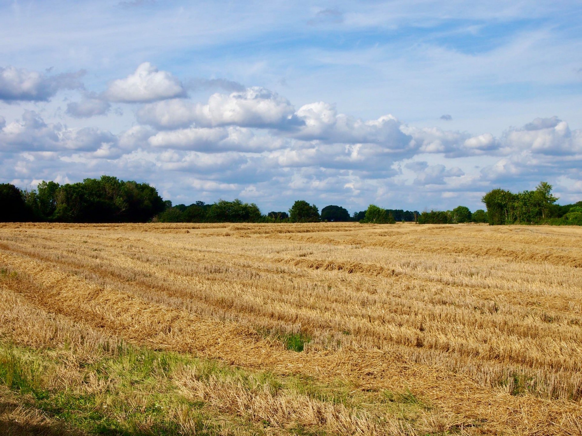
An Alternative Essex Way Part 3, Saturday 14th August 202110 walkers, 18.5 miles - leader Ron Williamson
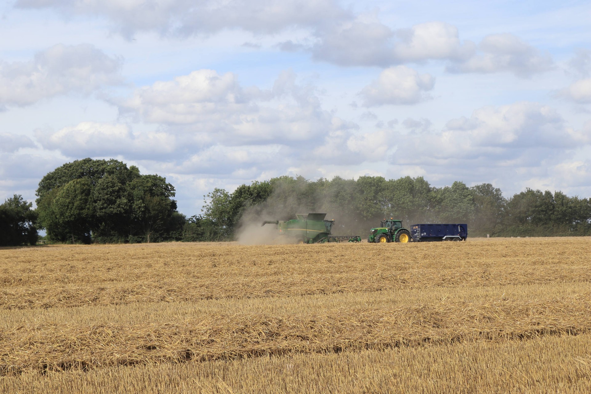
In the weeks immediately preceding this walk I had some concerns as to the likely state of the footpaths which we would be using; so much so that last minute adjustments were made to the planned route to ensure that any blocked paths could be avoided without the need for lengthy diversions along roads. My concerns had obviously reached others who brought secateurs with them whilst those with sensitive legs wore protective clothing. In the event, however, such precautions proved to be unnecessary as even the least used paths were easily trod and the expected potential difficult sections had been pruned in expectation of our visit, and even the recent rains had failed to provide any substantial Essex mud.
Good progress was, therefore, made on our trek from Liverpool St station finding our own way across East London and Essex, 87 miles now completed and the final 21 to be completed on September 11th when we will cross the Suffolk border.
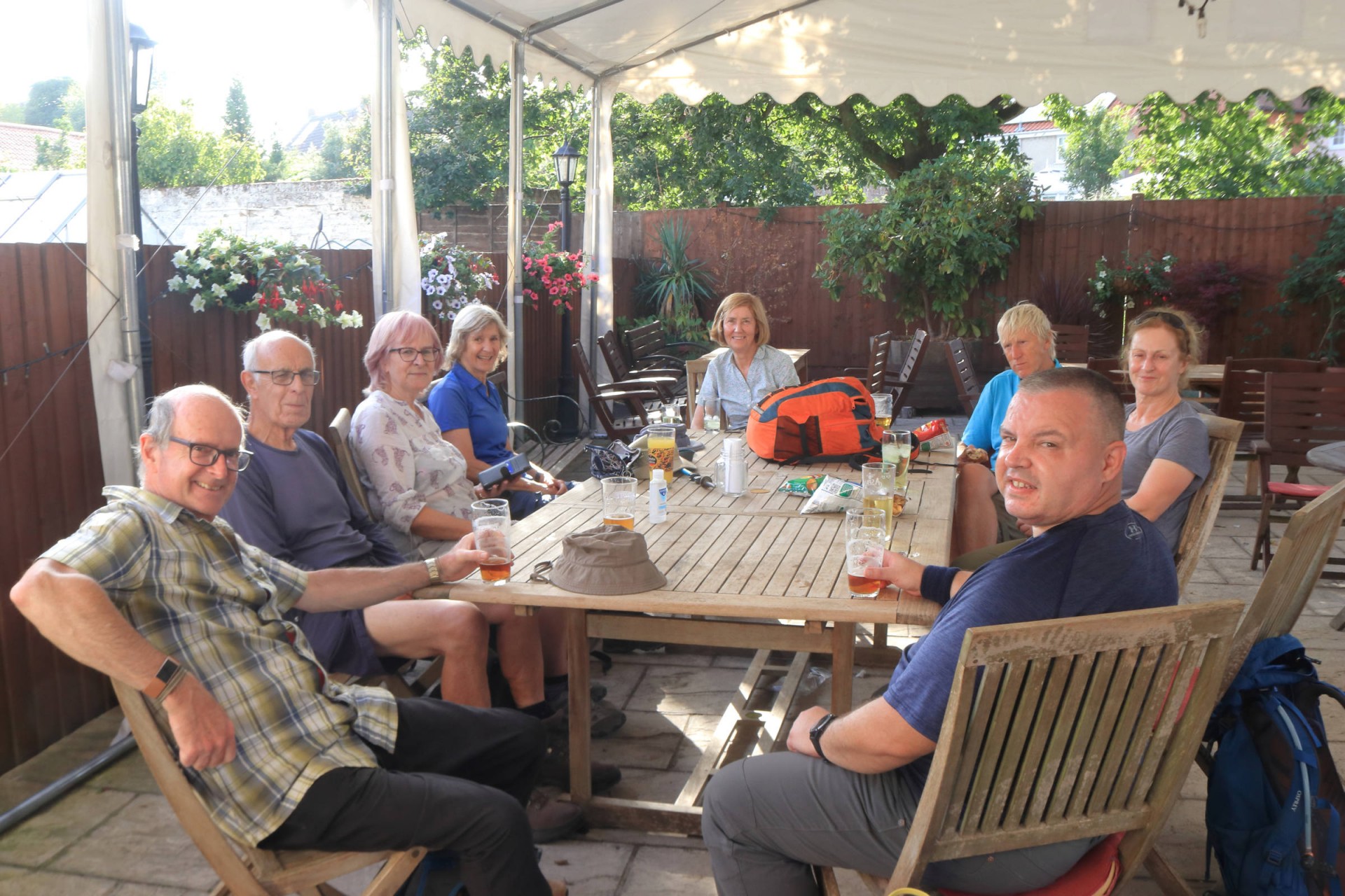
We are learning to relax and become part of our surroundings, as illustrated by the fact that no attempt was made over the final few miles to catch the earlier train, which in fact we missed by just 3 minutes, instead there was time for a pleasant 40 minutes spent winding down in the local hostelry.
Photographs by Gavin Fuller and Stephen Lannon
Other Files
Download Walk ReportGPX
A GPX file of the above route may be downloaded by clicking the link below.
Note: GPX files of Group Walks are created by LDWA Group members, and may be downloaded only by other LDWA members. They should not be made available outside the LDWA, and are used at members' own risk.
Login to Download (Members Only)You can use the interactive controls to zoom in and out and to move around the map, or click on a path or a marker for more info. (interactive map help)
You can use the interactive controls to zoom in and out and to move around the map, or click on a path or a marker for more info. (interactive map help)
Contains Ordnance Survey data © Crown copyright and database right 2016.
© OpenStreetMap contributors under Open Database Licence
Rights of way data from selected Local Authorities
Large scale digital mapping is provided by John Thorn
At high zoom levels the route is indicative only.
© OpenStreetMap contributors under Open Database Licence
Rights of way data from selected Local Authorities
Large scale digital mapping is provided by John Thorn
At high zoom levels the route is indicative only.
Gallery

Maps:
You can use the interactive controls to zoom in and out and to move around the map, or click on a marker for more info. (interactive map help)
Contains Ordnance Survey data © Crown copyright and database right 2016.
© OpenStreetMap contributors under Open Database Licence.
Rights of way data from selected Local Authorities.
Large scale digital mapping is provided by John Thorn.
© OpenStreetMap contributors under Open Database Licence.
Rights of way data from selected Local Authorities.
Large scale digital mapping is provided by John Thorn.


