


An alternative Essex Way part 1
Sat 15th May 2021
Walk Details:
Event Type
Group Walk
Region / Area
Southern England / Essex
Local Group
London
Distance
16ml.
Start Time
09:15
Route
Harold Wood Station
Finish: Ingatestone Station
The first part of a walk across Essex and Suffolk which could end in Lowestoft in 2022
General Notes
Restricted to 20 walkers, prior booking required at ronwilliamsonuk@gmail.com
Web Site
Start
Finish
Entry Details:
Cost
Walk Report
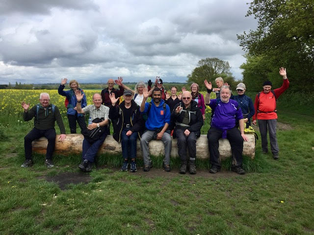
An Alternative Essex Way Part 1, Saturday 15th May 202118 walkers, 19 miles - leader Ron Williamson
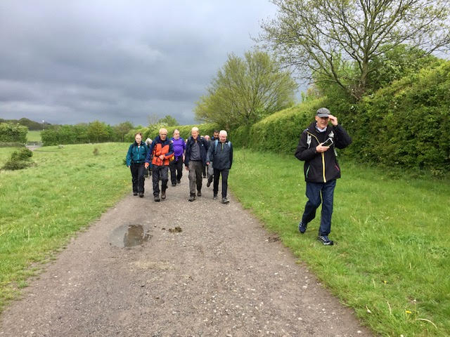
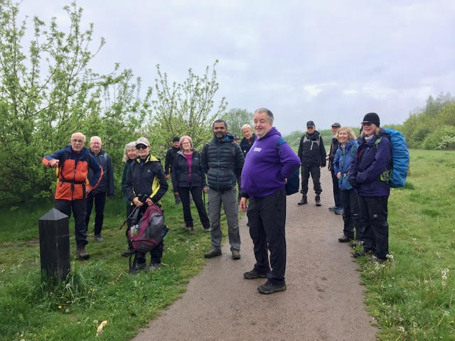
18 members braved the dismal forecast to embark on the first segment of the 2021 walk across Essex. Their optimism was vindicated by a rewarding ramble through field and forest with warm sunny periods far exceeding the occasional light rain.
A few hundred yards from the station we entered the emerging forested area of the Thames Chase followed by the ancient open land of Upminster Common before crossing the M25 and the border into Essex. Uphill along narrow pathways where thankfully bramble and nettle had yet to takeover and soon we reached the well-heeled Brentwood suburb of Warley, after a short tarmac section we entered the former estate of Thorndon Hall, which for some time has been designated a country park. Encouraged by the better than expected weather and an enthusiastic group a decision, unbeknown by most, was made to explore the area more fully on a 2/3 mile loop.
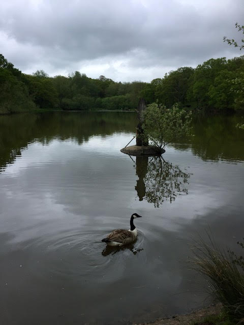
The Park is in two parts, the heavily wooded northern section on a gravel ridge and the southern more open part on clay soil lower down with extensive views over the Thames to the north Kent hills. The two parts are now linked by Old Thorndon Pastures, which is farmland that has been restored to a traditional farming landscape with small hedged fields, grazed by cattle. Perhaps of more interest to most of us the Southern section boasts some of the best public W.C.s ever encountered on a walk.
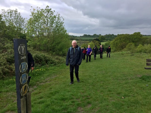
The after-lunch walk was characterised by a wide-open landscape of green and yellow arable fields intermingled with clusters of verdant copses, yet never more than a few miles from densely populated areas. A sting in the tail proved to be a series of some 10 or more seemingly massive styles which certainly would slow the swiftest and sprightliest and caused one member to take drastic action by trying to burrow under the adjacent fencing.
So, it was with four minutes to spare we reached our destination of Ingatestone station and having earned one bonus mile.
The end of part one, to be continued next month.
Photographs by Gill Struthers
Other Files
Download Walk ReportGallery
Maps:
You can use the interactive controls to zoom in and out and to move around the map, or click on a marker for more info. (interactive map help)
Contains Ordnance Survey data © Crown copyright and database right 2016.
© OpenStreetMap contributors under Open Database Licence.
Rights of way data from selected Local Authorities.
Large scale digital mapping is provided by John Thorn.
© OpenStreetMap contributors under Open Database Licence.
Rights of way data from selected Local Authorities.
Large scale digital mapping is provided by John Thorn.


