


Up and Down and Round About
Sat 24th Oct 2020
Walk Details:
A linear walk over the downs and through woods and open spaces to Croydon
Entry Details:
Walk Report
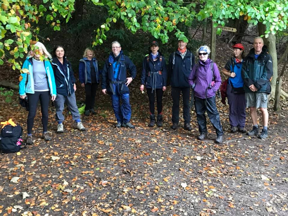
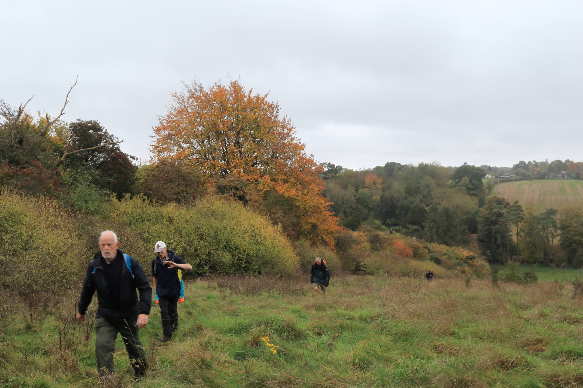
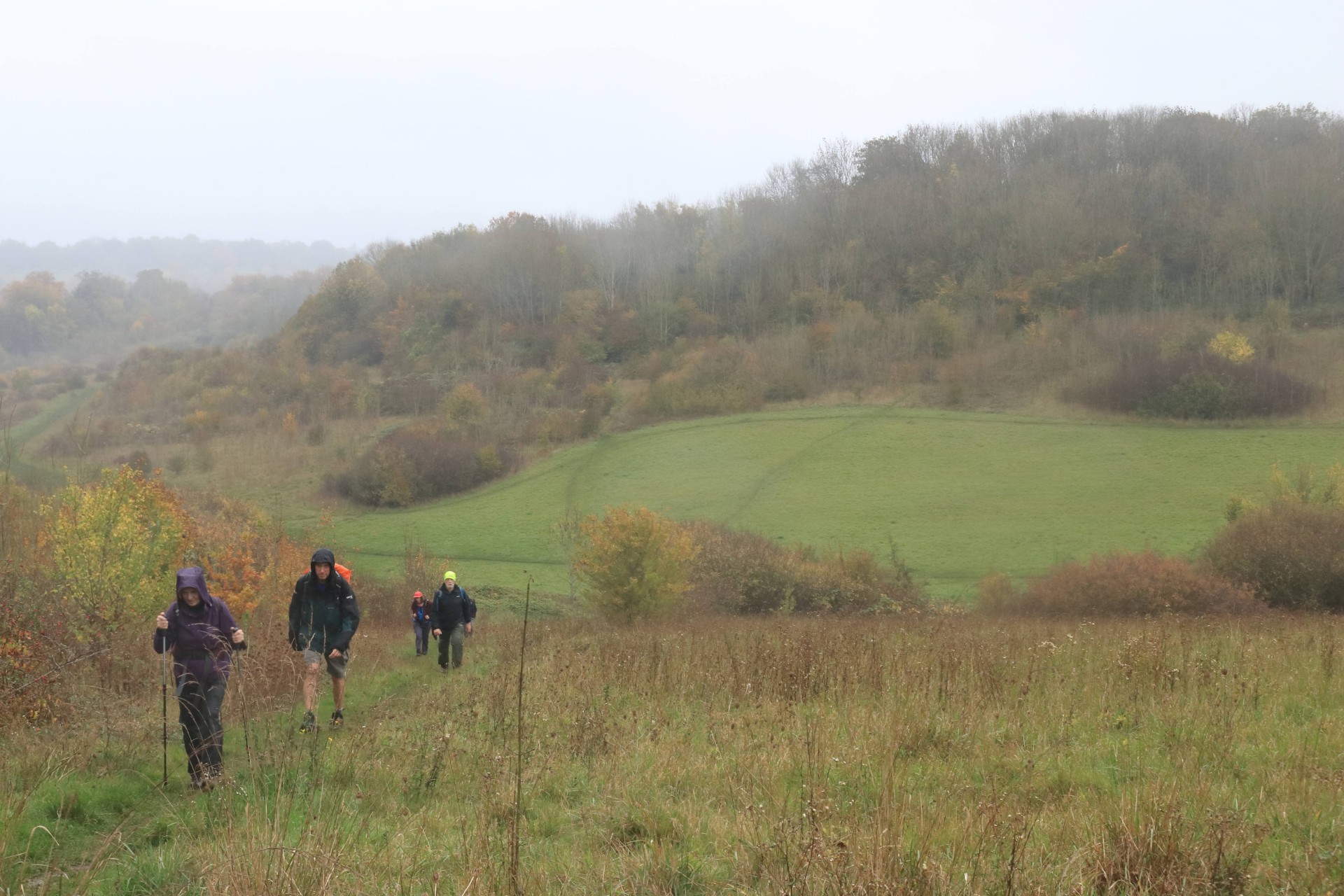
Up and Down and Round About, Saturday 24th October 202011 walkers, 20.9 miles - leader Gavin Fuller
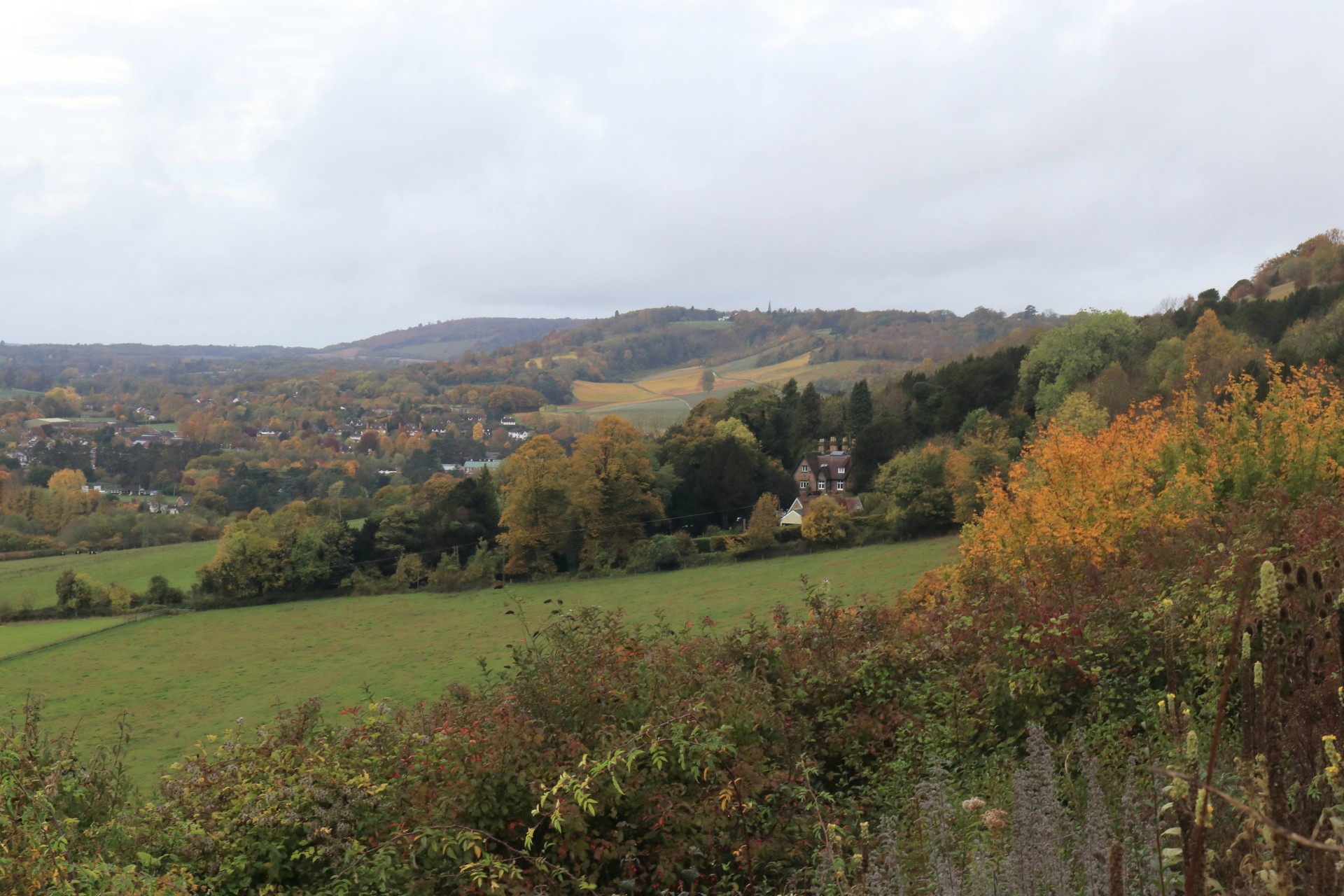
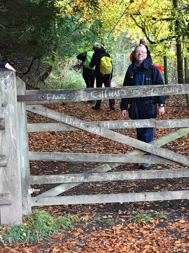
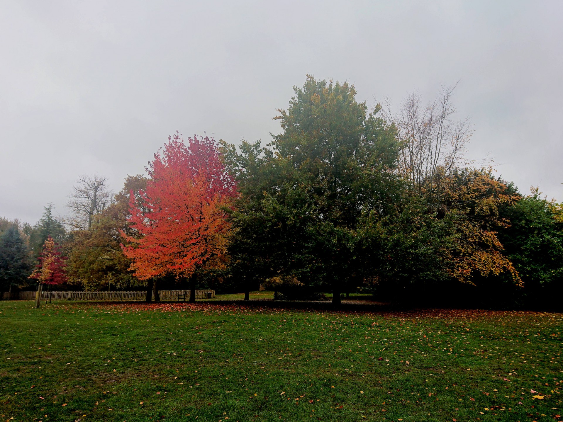
A gloomy day which unfortunately proved wetter than forecast didn't deter ten walkers joining the leader in Dorking for a walk through Surrey in its autumnal cloak to leafy Croydon (well earlier that week it had been listed in the 20 areas in England with the most tree cover per area!). First up (literally) was the "Down" of the title, in the shape of the North Downs, which were ascended, descended and ascended again to a windswept Colley Hill, where even the notably shaggy cows were seeking cover. Turning north, in due course the distinctly unfamous Shabden and Upper Gatton Circular Walk (the "Up" of the title) was reached and followed for a few miles, before another turn to the north crossed the second railway line of the day over a couple more undulations to Banstead Wood and a somewhat belated lunch on the green at Woodmansterne which afforded some cover from the deteriorating weather, whilst the local pub provided a couple of walkers with takeaway tea and coffee in the unfamiliar receptacle of plastic pint glasses! Things got a bit more urban afterwards but there were several green spaces for the walk to pass through including Oaks Park and Roundshaw (the "Round" of the title); the latter being a nature reserve on the site of London's original international airport not that you could tell now. One final open space in the shape of Duppas Hill Recreation ground too the walk into Croydon, where the plethora of transport options saw the party go three separate ways - the mileage given above is that of those who stayed with the leader to his semi-official finish at East Croydon.
Photographs by Gavin Fuller and Ian Watson; more by Gavin and Ian on the Group Facebook page
Other Files
Download Walk ReportGPX
A GPX file of the above route may be downloaded by clicking the link below.
Note: GPX files of Group Walks are created by LDWA Group members, and may be downloaded only by other LDWA members. They should not be made available outside the LDWA, and are used at members' own risk.
Login to Download (Members Only)You can use the interactive controls to zoom in and out and to move around the map, or click on a path or a marker for more info. (interactive map help)
You can use the interactive controls to zoom in and out and to move around the map, or click on a path or a marker for more info. (interactive map help)
© OpenStreetMap contributors under Open Database Licence
Rights of way data from selected Local Authorities
Large scale digital mapping is provided by John Thorn
At high zoom levels the route is indicative only.
Gallery


Maps:
You can use the interactive controls to zoom in and out and to move around the map, or click on a marker for more info. (interactive map help)
© OpenStreetMap contributors under Open Database Licence.
Rights of way data from selected Local Authorities.
Large scale digital mapping is provided by John Thorn.


