


London 25th Anniversary Walk: Brighton
Sat 12th Sep 2020
Walk Details:
Up and down, in and out and along the South Downs way; 25 miles to celebrate 25 years of London group finishing on Brighton pier with fish and chips, a drink and a swim (well maybe)
Entry Details:
Walk Report
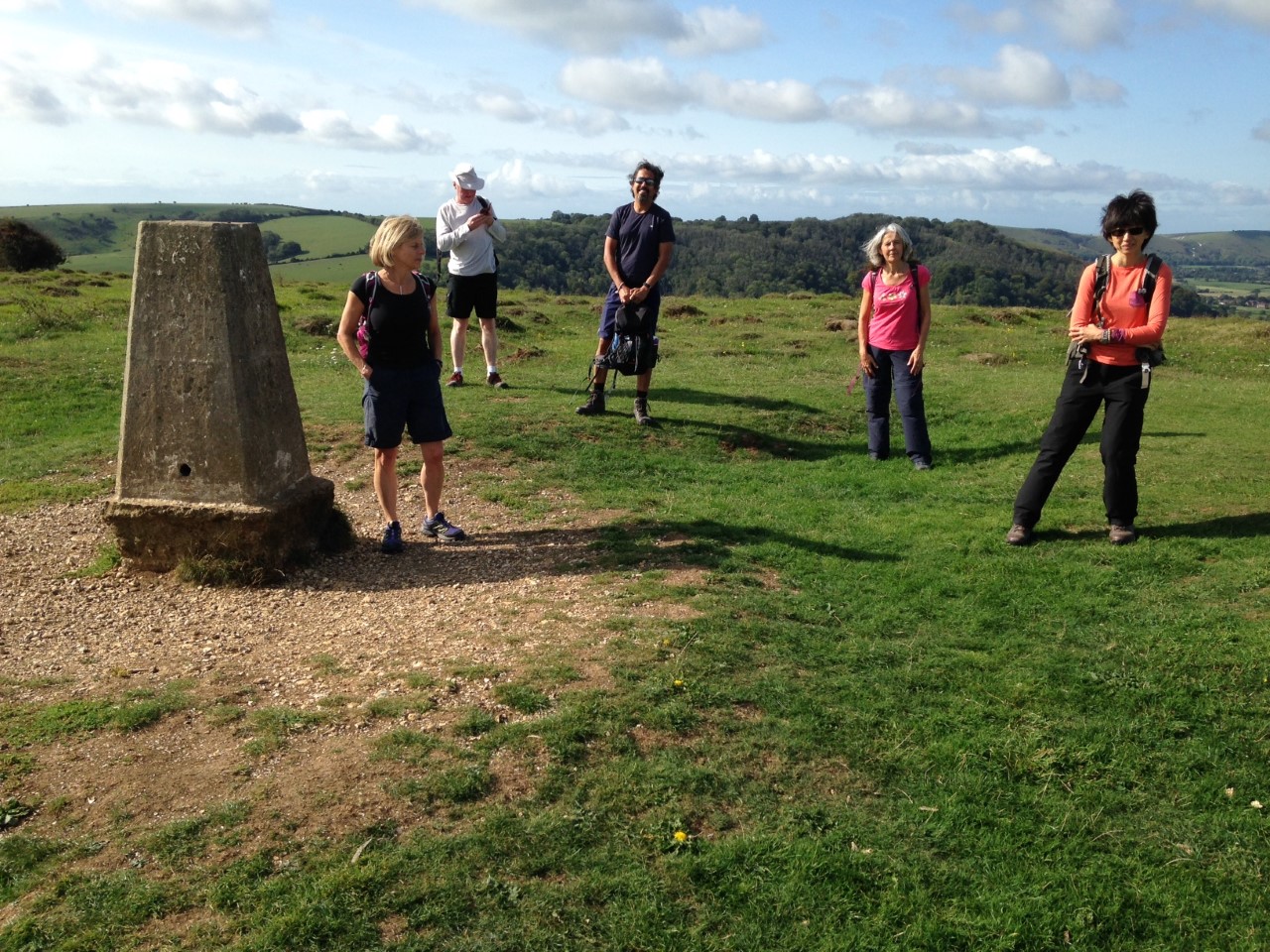
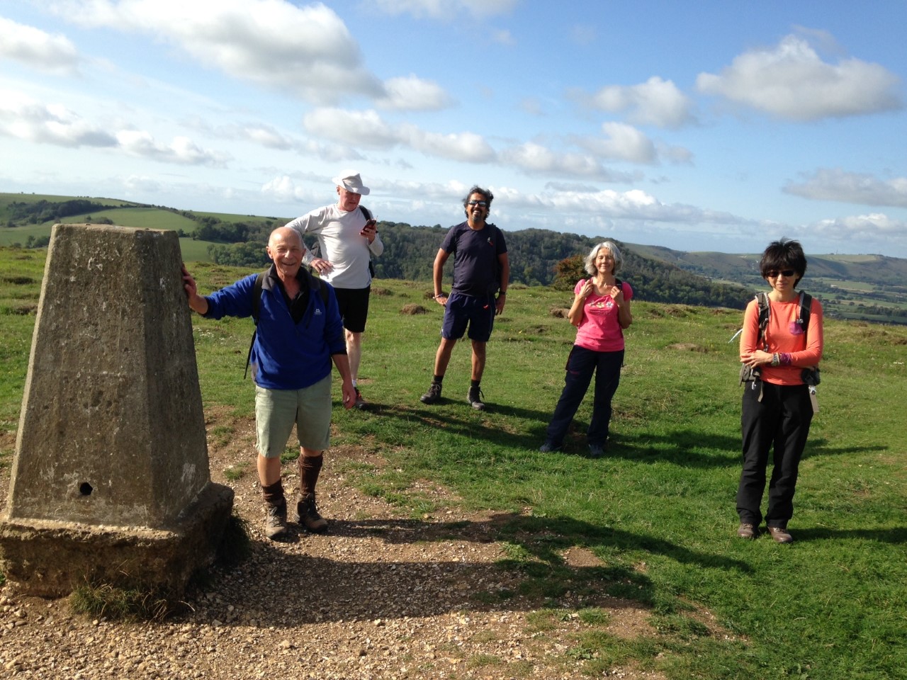
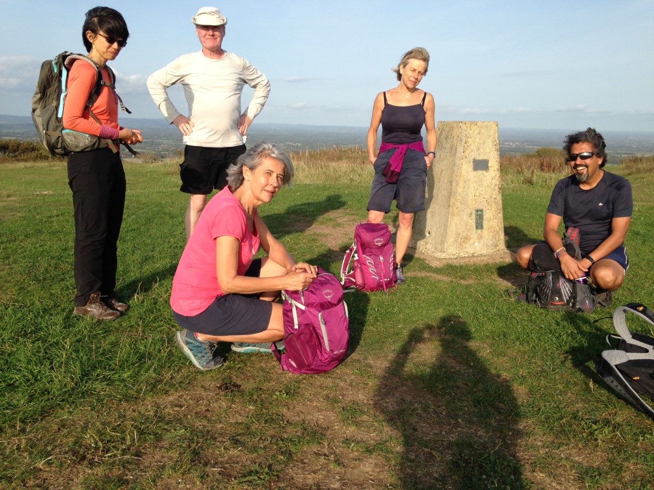
South Downs 25th Celebration Bonanza, Saturday 12th September 20206 walkers, 25.3 miles - leader Jerome Ripp
There was a late change to the planned route as it was felt that finishing in Brighton on the last Saturday evening before the new Covid 19 restrictions might be risky with the crowds of people.
Hence it became a circular from Hassocks and 25 miles for the 25th anniversary of the London group seemed appropriate.
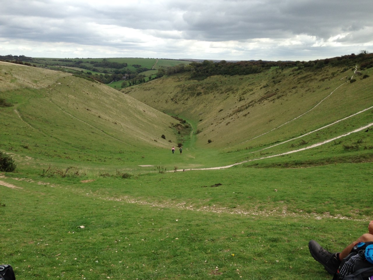
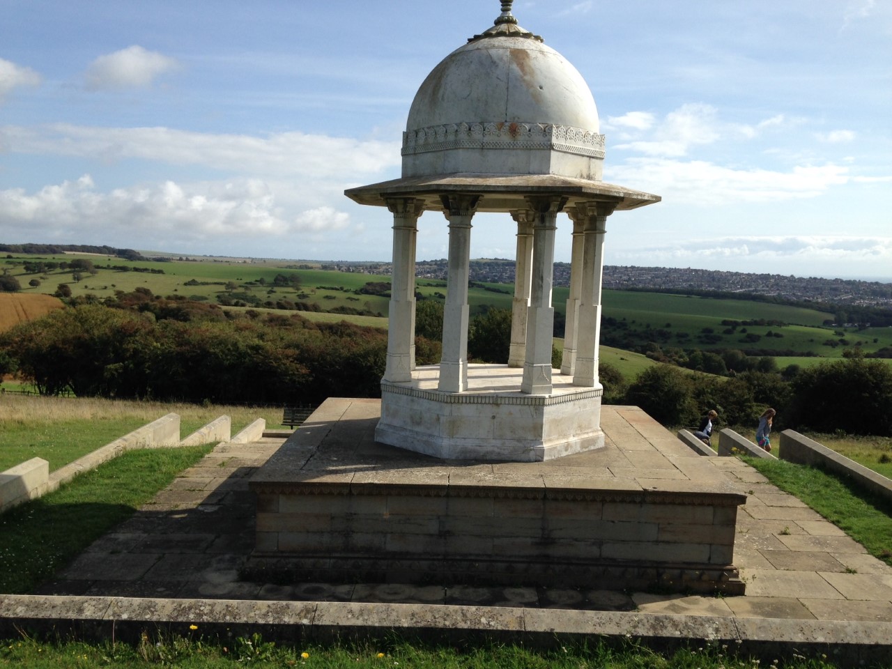
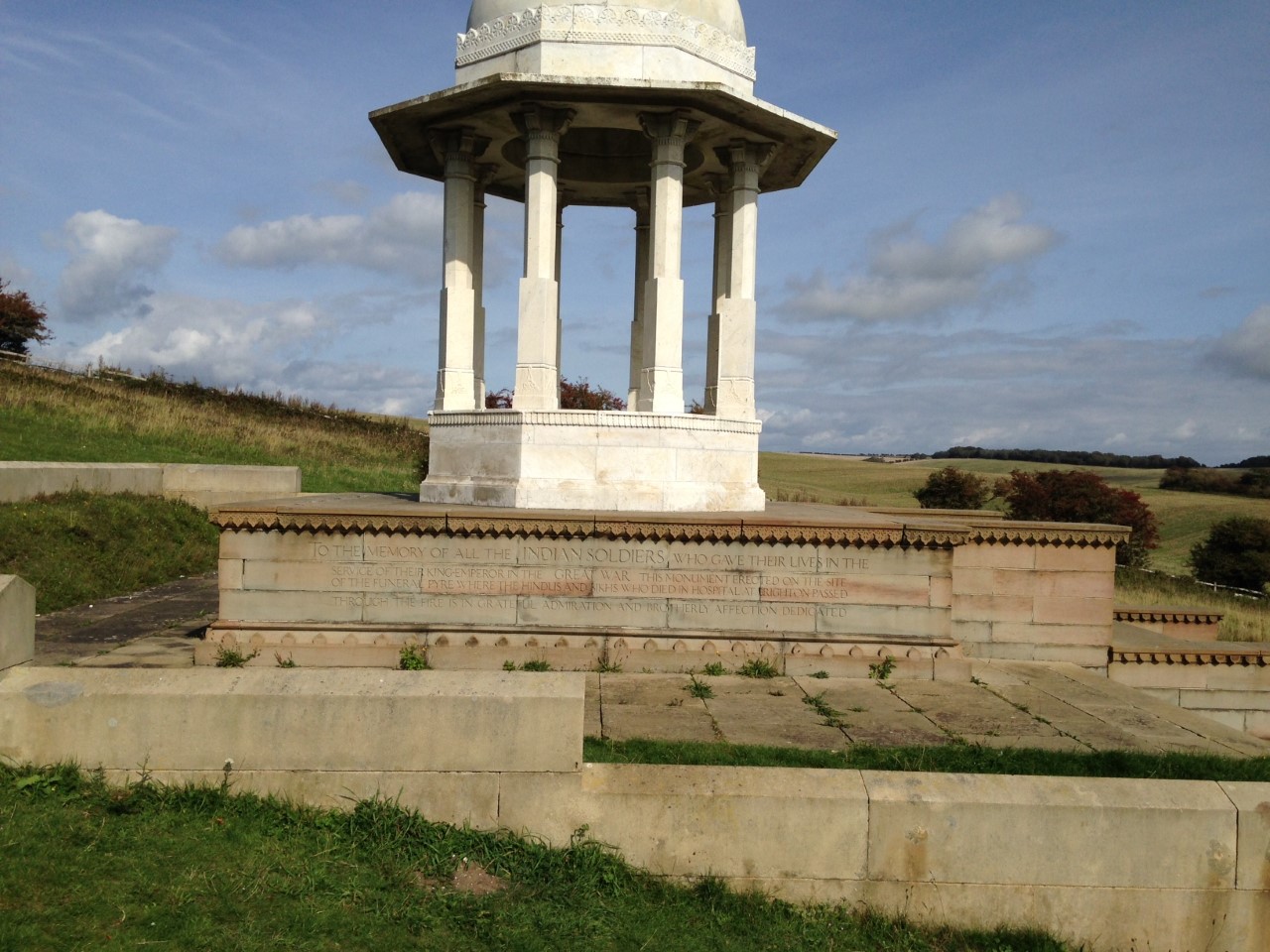
One person missed a train connection but was able to meet up at the Jack and Jill pub at Clayton without any loss of time. We were in the hills all day starting to the west with Wolstonbury Hill, Newtimber Hill, Devils Dyke, Fulking Hill with a section of the South Downs Way. The Sussex Border Path took us to the edge of the Brighton conurbation then Monarch's Way over Benfield and Round Hill and another section of the Border Path took us east of the A23 and up to the Chattri Indian war memorial for a well-deserved late lunch.
A zigzag route north east with views over Brighton and the Amex stadium over Stanmer Down and back to the South Downs Way. Then a straight route along the windy ridge, Ditchling Beacon, the Jack and Jill windmills at Clayton and descent to the hamlet of Clayton, the only habitation of the day and finally back to Hassocks to complete a 9-hour circuit of almost exactly 25 miles. A perfect celebration walk, with ideal weather and ground conditions.
We are all looking forward to doing 50 miles for the 50th anniversary.
Photographs by Jerome Ripp
Other Files
Download Walk ReportGPX
A GPX file of the above route may be downloaded by clicking the link below.
Note: GPX files of Group Walks are created by LDWA Group members, and may be downloaded only by other LDWA members. They should not be made available outside the LDWA, and are used at members' own risk.
Login to Download (Members Only)You can use the interactive controls to zoom in and out and to move around the map, or click on a path or a marker for more info. (interactive map help)
You can use the interactive controls to zoom in and out and to move around the map, or click on a path or a marker for more info. (interactive map help)
© OpenStreetMap contributors under Open Database Licence
Rights of way data from selected Local Authorities
Large scale digital mapping is provided by John Thorn
At high zoom levels the route is indicative only.
Gallery
Maps:
You can use the interactive controls to zoom in and out and to move around the map, or click on a marker for more info. (interactive map help)
© OpenStreetMap contributors under Open Database Licence.
Rights of way data from selected Local Authorities.
Large scale digital mapping is provided by John Thorn.


