


Halloween Ramble East of Epping
Sat 31st Oct 2020
Walk Details:
Linear with good tube connection between the start and end point and car park each end
Entry Details:
Walk Report
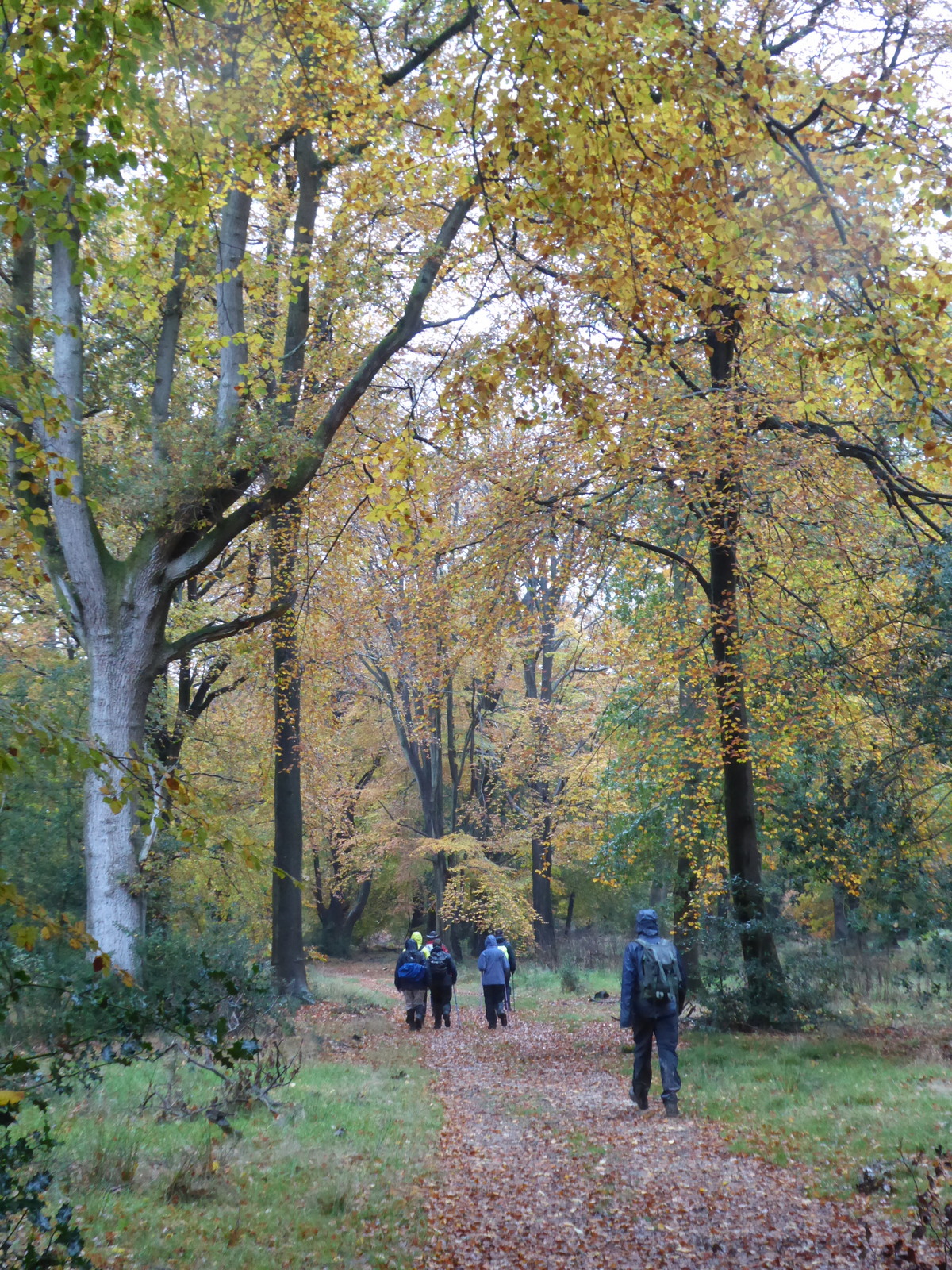
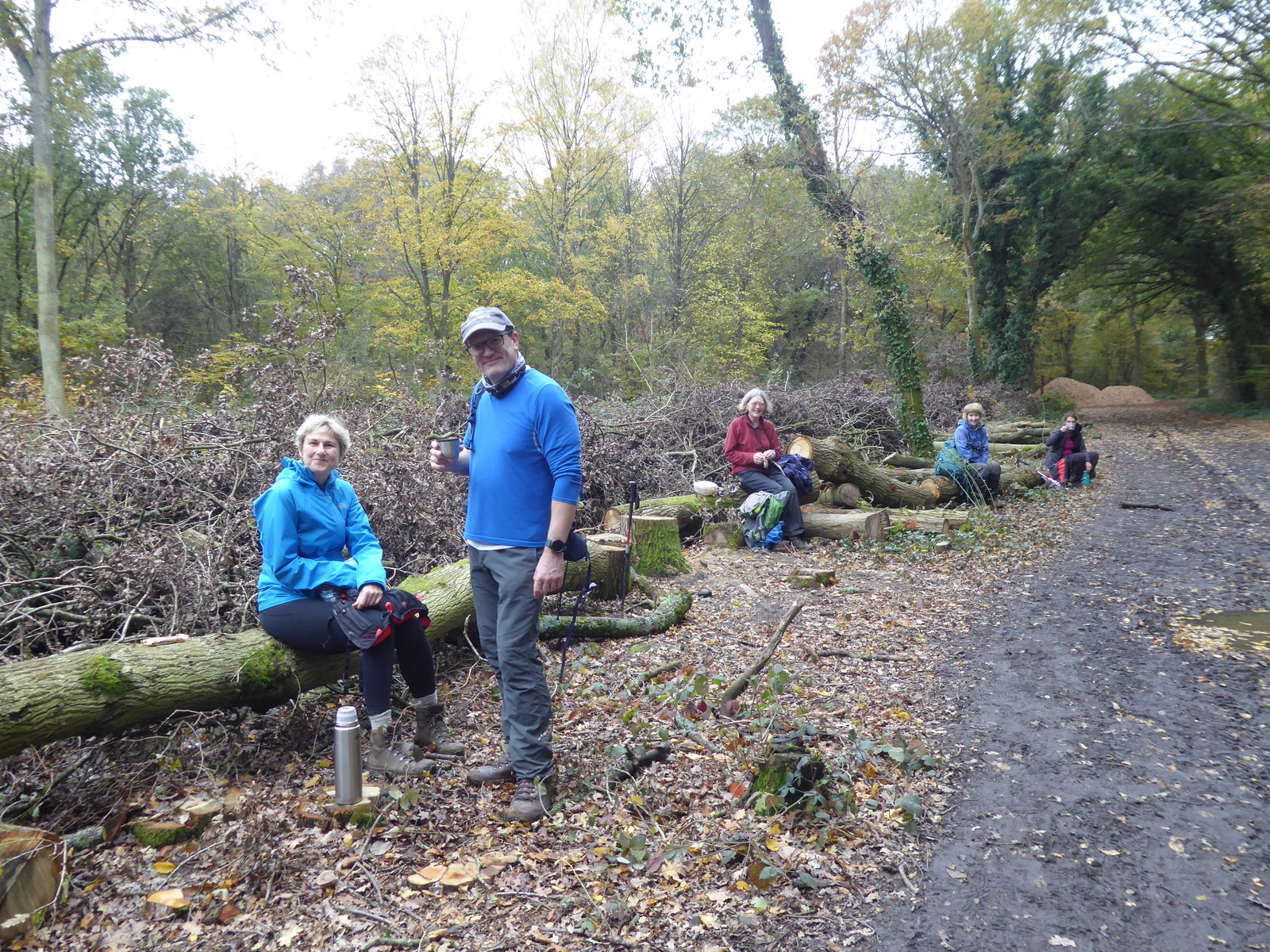
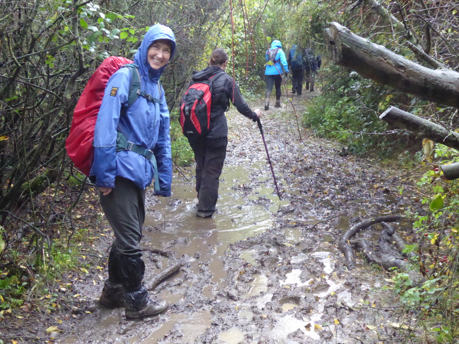
Halloween Ramble East of Epping, Saturday 31st October 20206 walkers, 14.5 miles - leader Lonica Vanclay
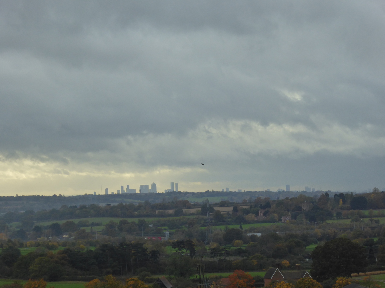
6 of us in total set off from Loughton for an East of Essex Ramble. It looked promising - even a bit of sunshine. However by the time we got to Hainault Forest the rain had set in - and it continued on and off for the rest of the day. And the mud got worse too! Two short lunch stops in churchyards and by the second we were sufficiently wet and tired that everyone voted to shorten the walk and head for Epping. Lots of lovely autumn leaves en route but the low cloud meant the views were hidden. 14.5 miles in total.......maybe I'll offer the walk in midsummer as a contrast!
Photographs by Paul Lawrence
Other Files
Download Walk ReportGPX
A GPX file of the above route may be downloaded by clicking the link below.
Note: GPX files of Group Walks are created by LDWA Group members, and may be downloaded only by other LDWA members. They should not be made available outside the LDWA, and are used at members' own risk.
Login to Download (Members Only)You can use the interactive controls to zoom in and out and to move around the map, or click on a path or a marker for more info. (interactive map help)
You can use the interactive controls to zoom in and out and to move around the map, or click on a path or a marker for more info. (interactive map help)
© OpenStreetMap contributors under Open Database Licence
Rights of way data from selected Local Authorities
Large scale digital mapping is provided by John Thorn
At high zoom levels the route is indicative only.
Gallery
Maps:
You can use the interactive controls to zoom in and out and to move around the map, or click on a marker for more info. (interactive map help)
© OpenStreetMap contributors under Open Database Licence.
Rights of way data from selected Local Authorities.
Large scale digital mapping is provided by John Thorn.


