


Purley Perambulation
Sat 24th Feb 2024
Walk Details:
Suburban walking peters out into an undulating ramble largely following the Vanguard Way to the North Downs, then more undulations back through Marden Park to Caterham, Happy Valley and Farthing Down before descending to the finish at Coulsdon South. If the undulations get too much (there is around 2,000ft/600m of ascent during the day), there is a breakpoints at Caterrham station (14 miles; in zone 6, bus routes also available once we get there)
Entry Details:
Walk Report
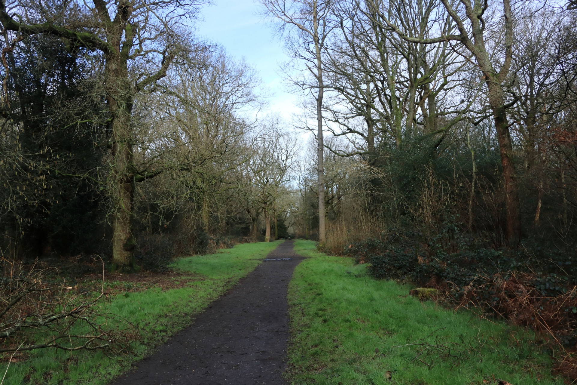
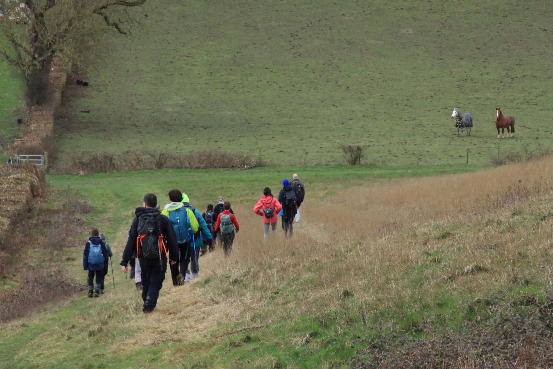
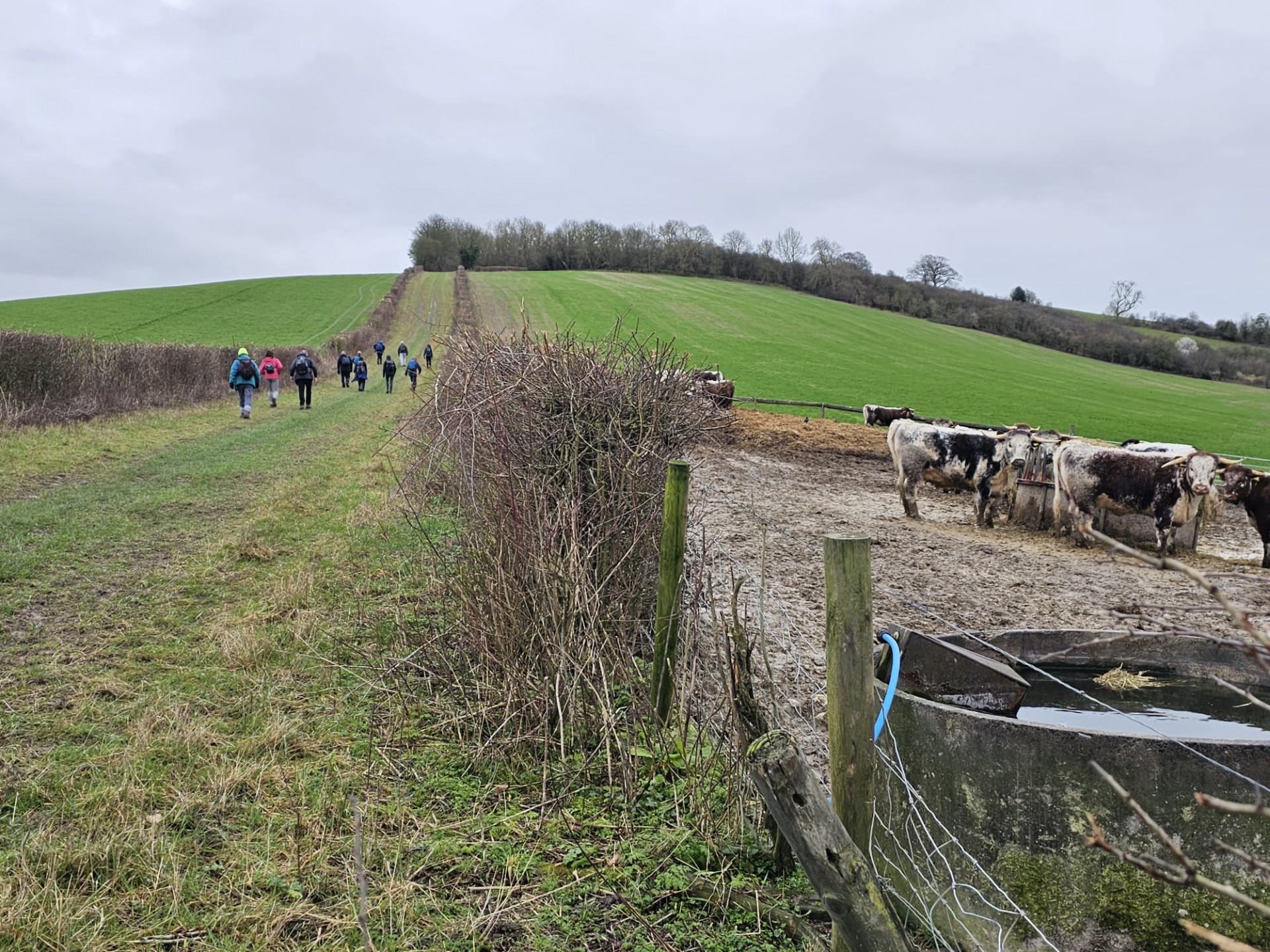
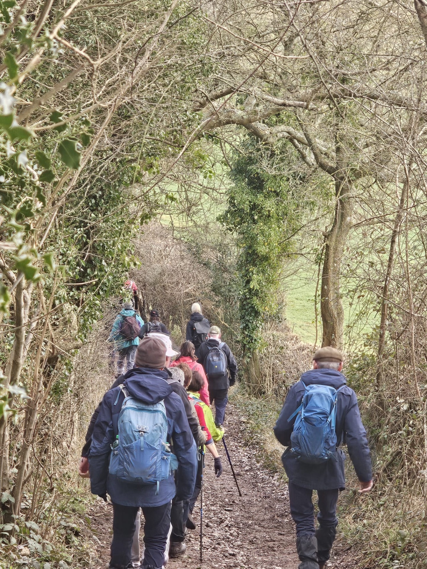
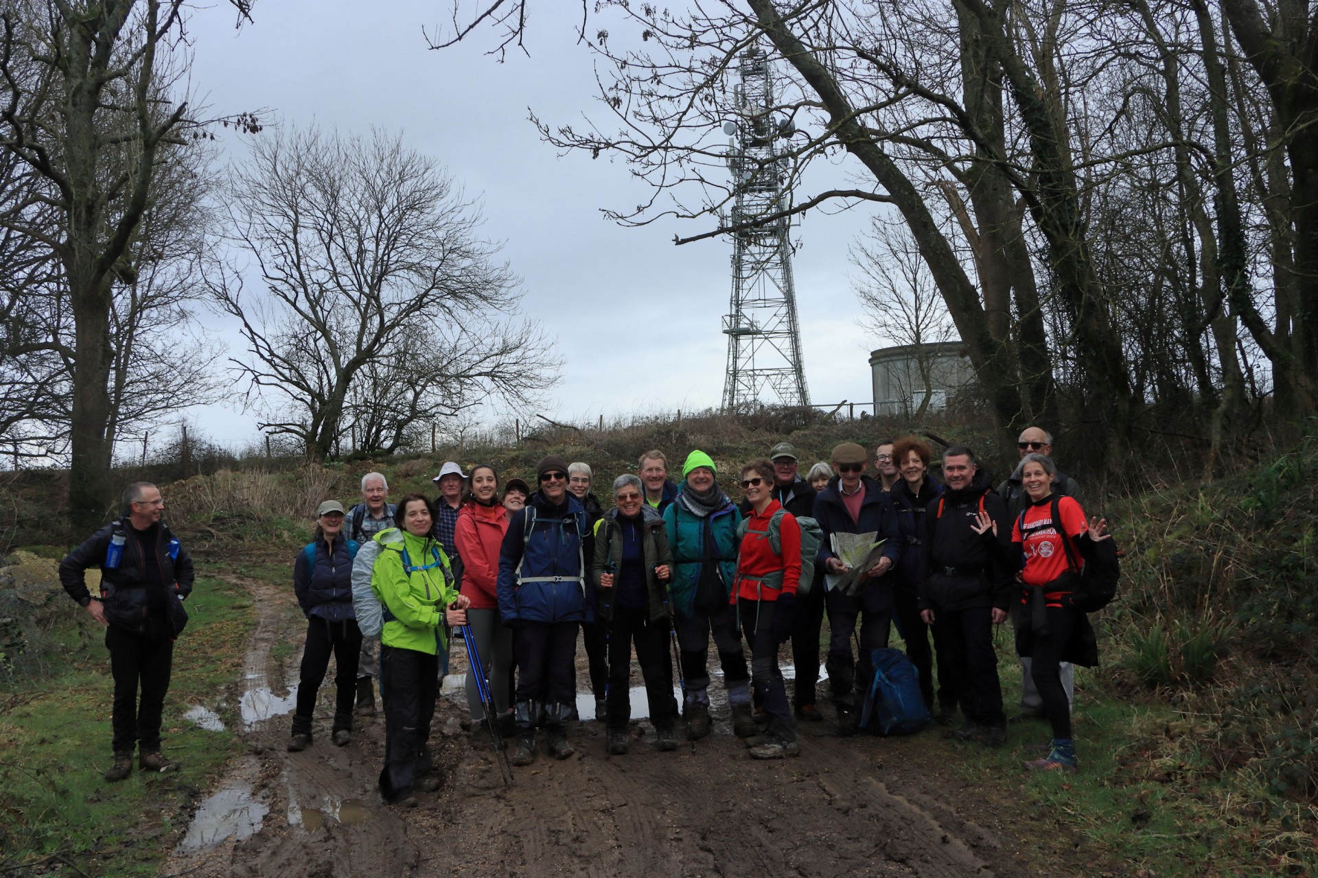
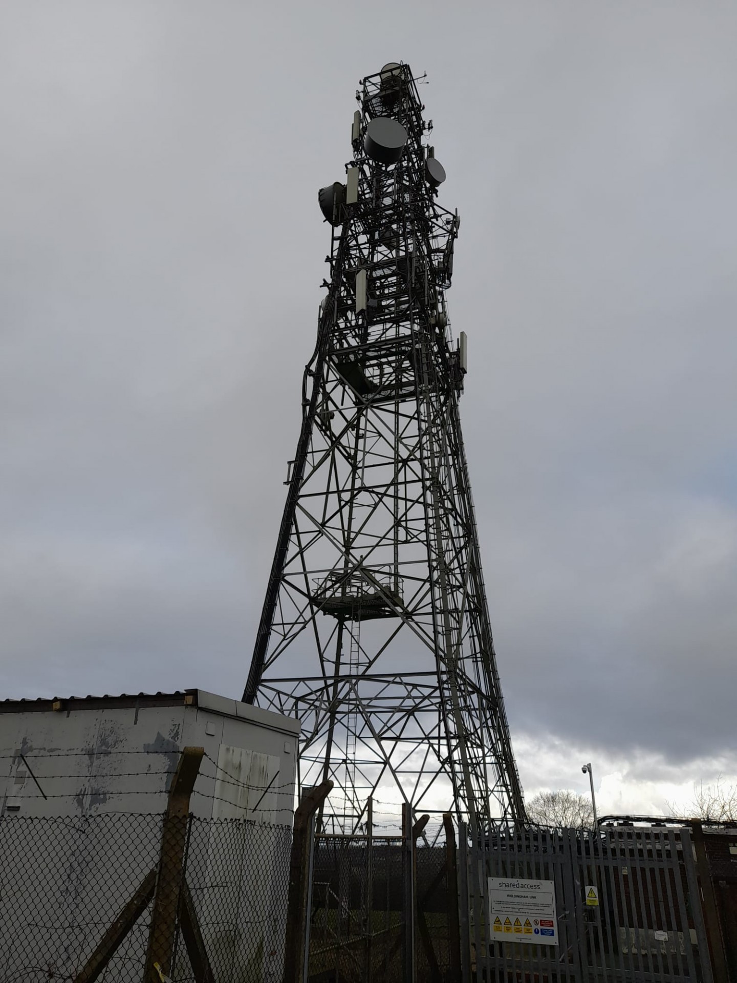
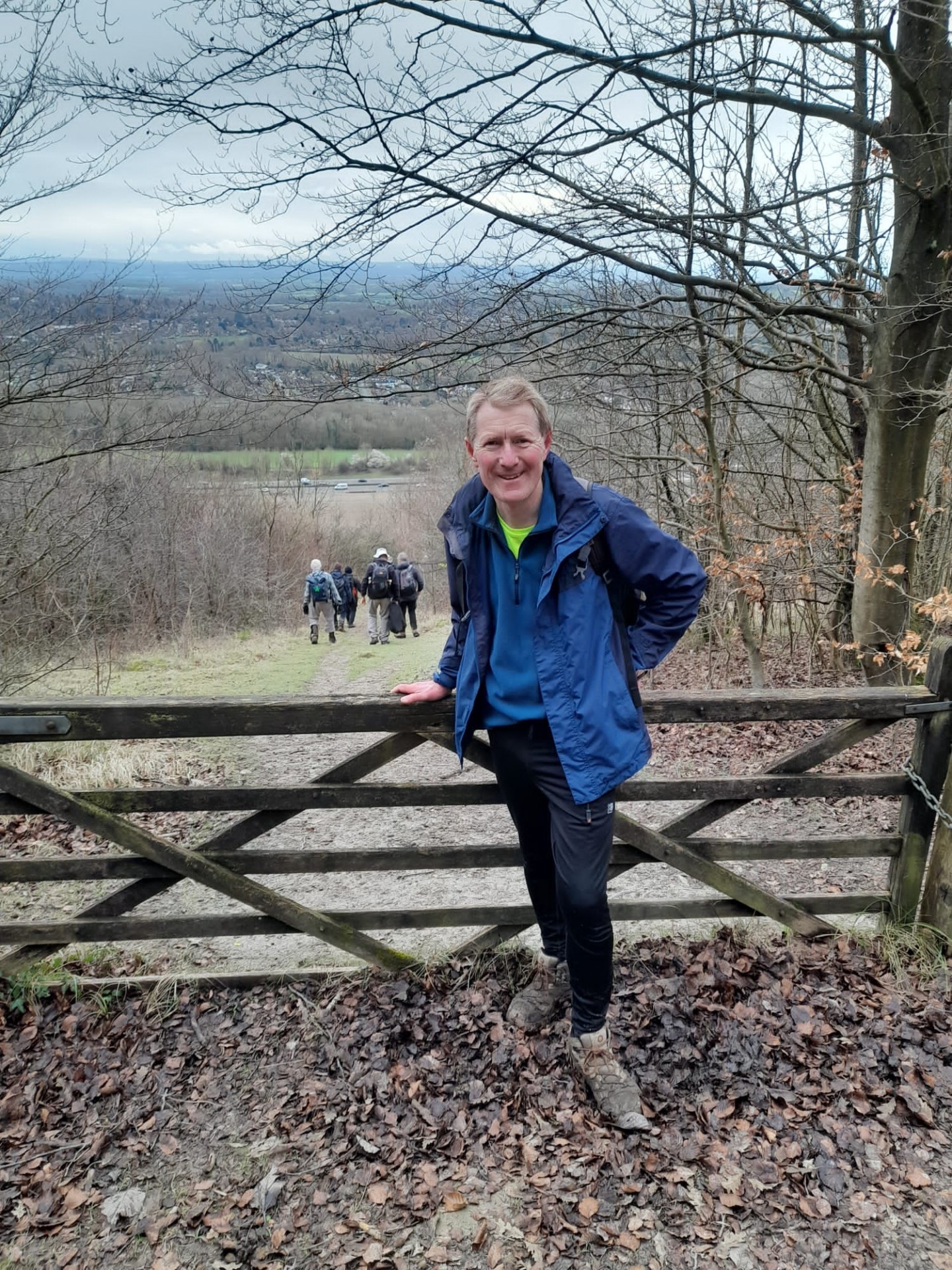
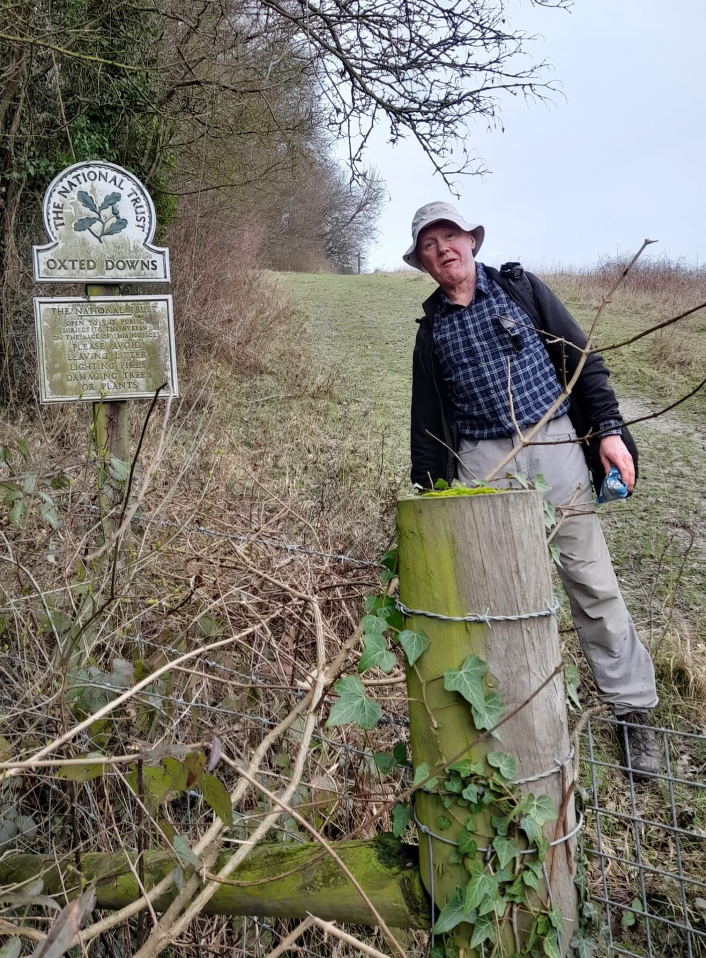
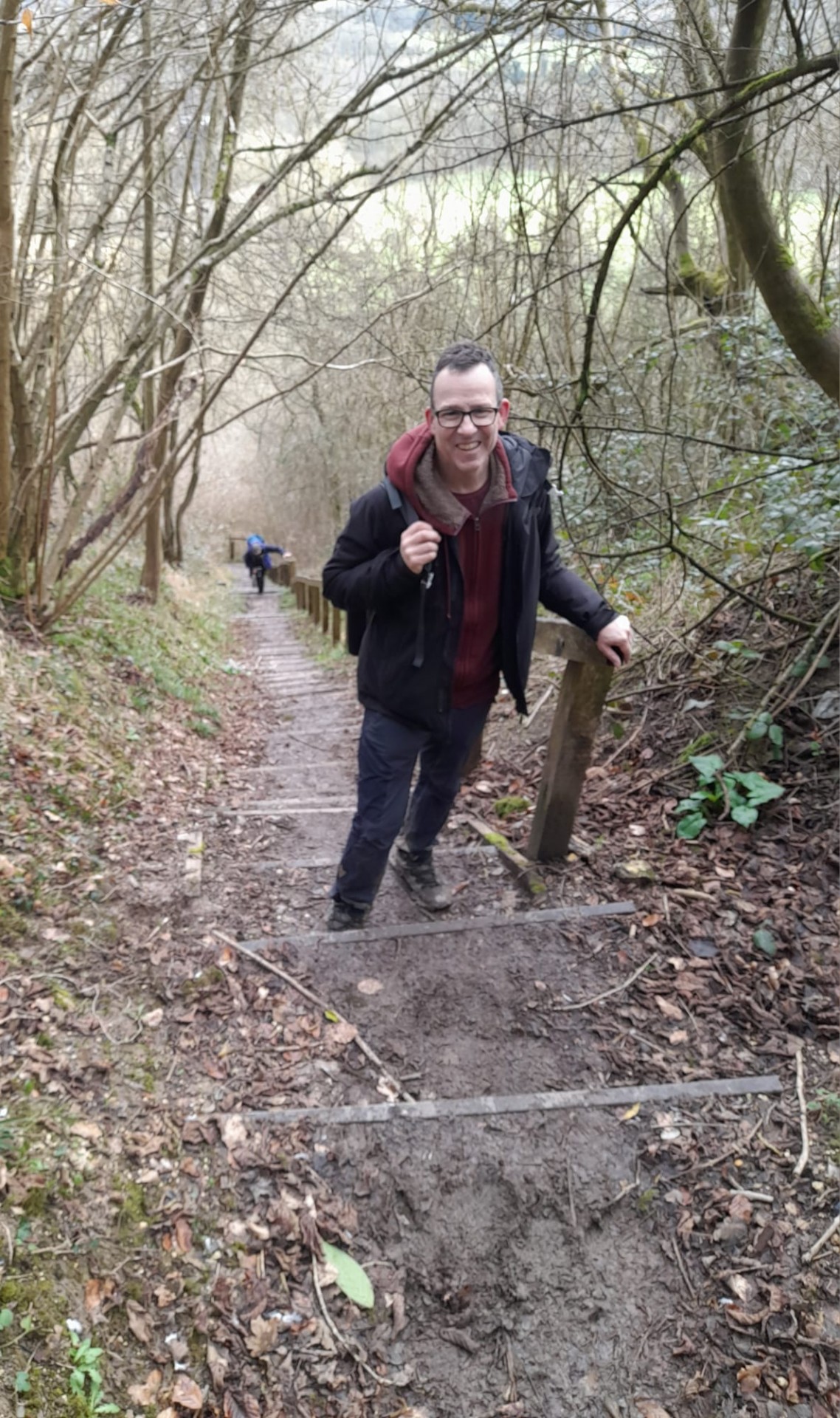
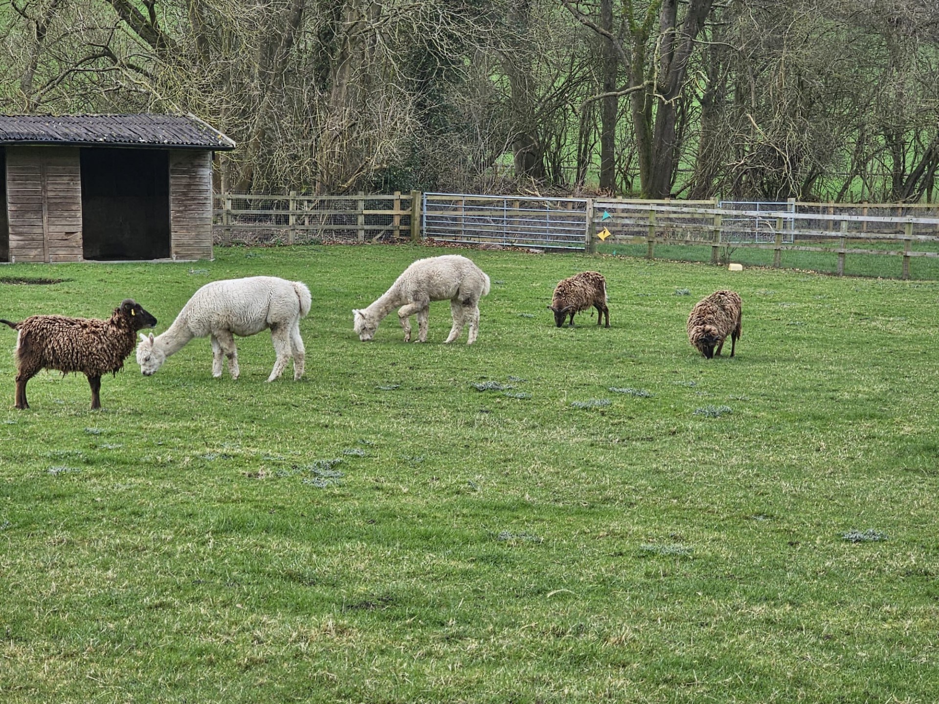
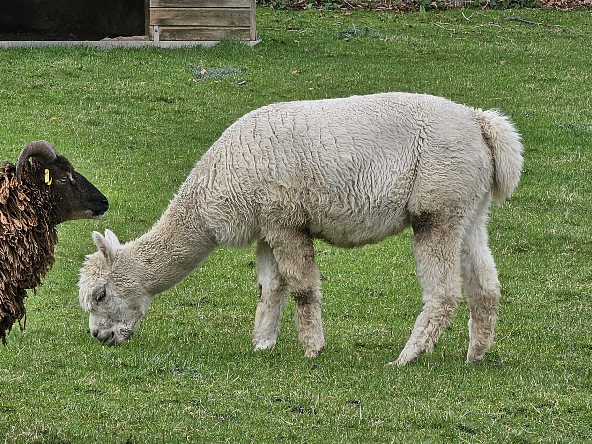
22 walkers, 19 miles with 2,045ft of ascent - leader Gavin Fuller21 walkers joined our leader for the group's first walk from Purley Oaks station, which honoured to an extent old-timer birthday boy Dave Williams by going over some ground he'd covered on a walk six years to the day previously. It was soon a case of going from Oaks to Beeches as the walk wended its way through Wettern Tree Garden to Purley Beeches, before for the sake taking in Croydon's Borough Top in Sanderstead Plantation. Then past one of the Stones of Croydon it was eventually out of suburbia in Kings Wood, and on to a route made very muddy by the plentiful rain there had been over the previous few days.
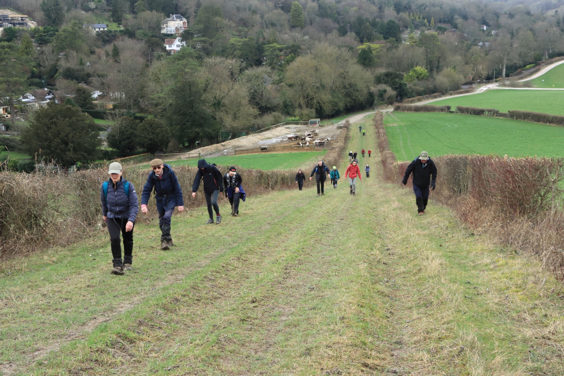
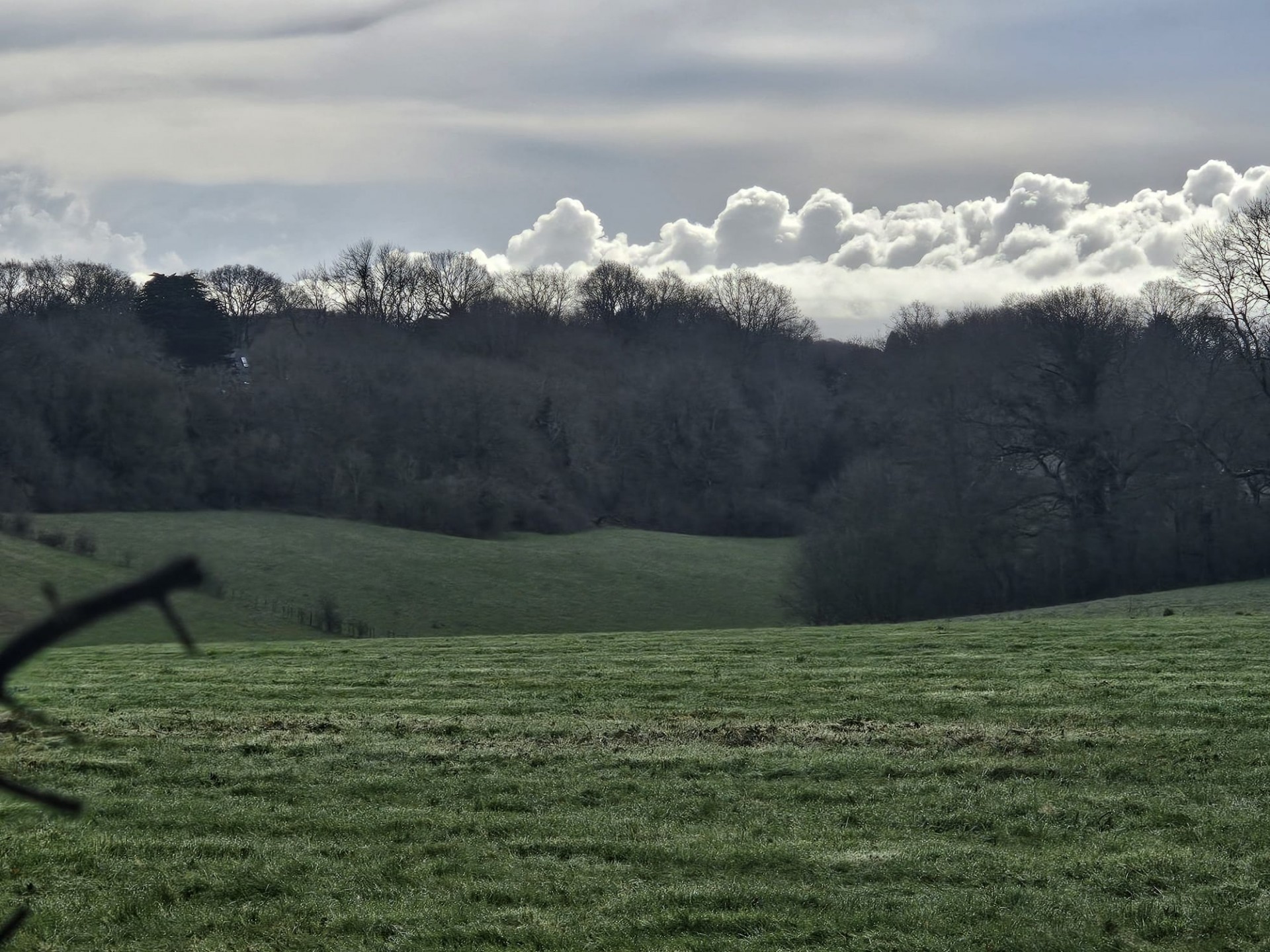
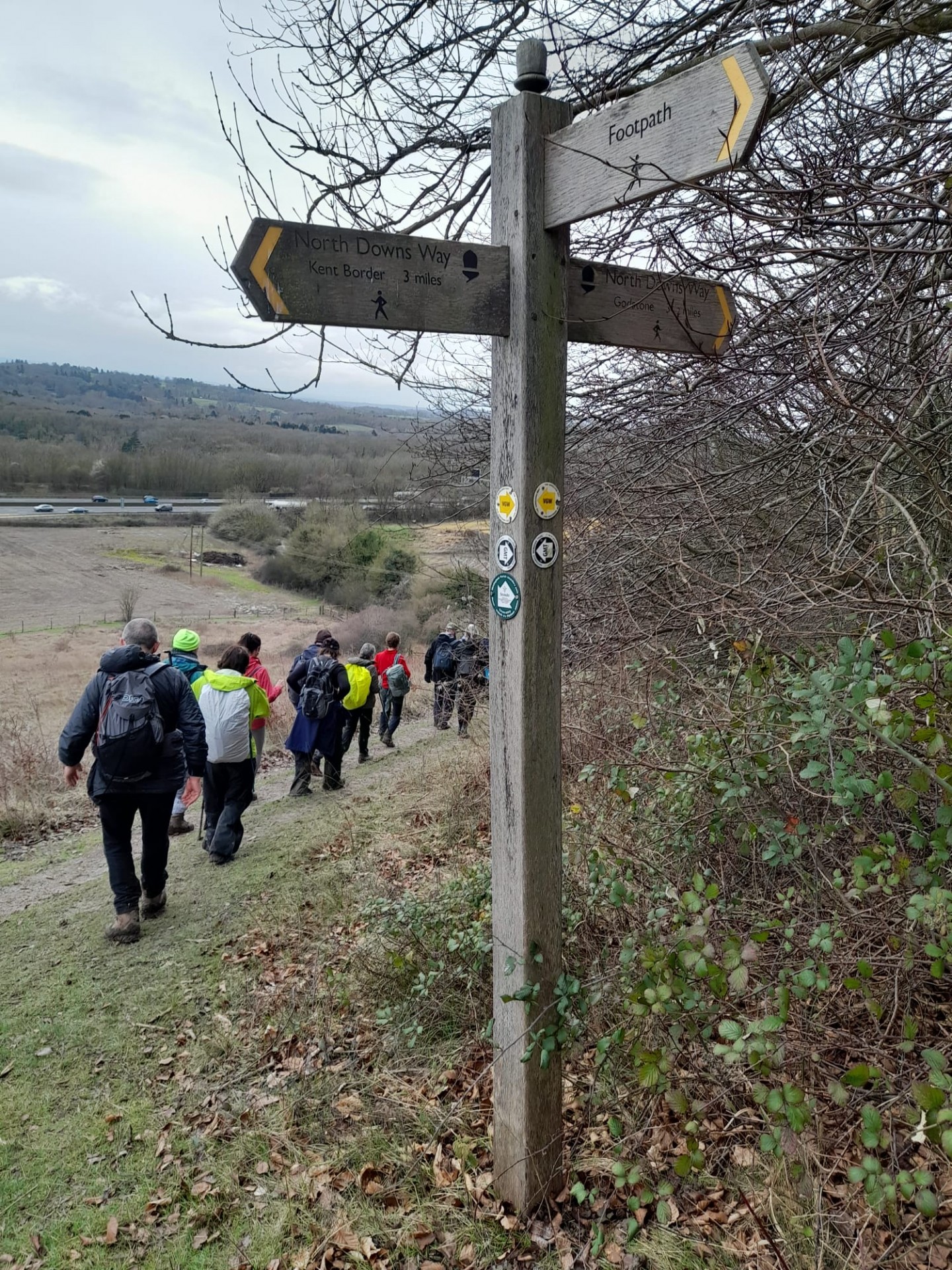
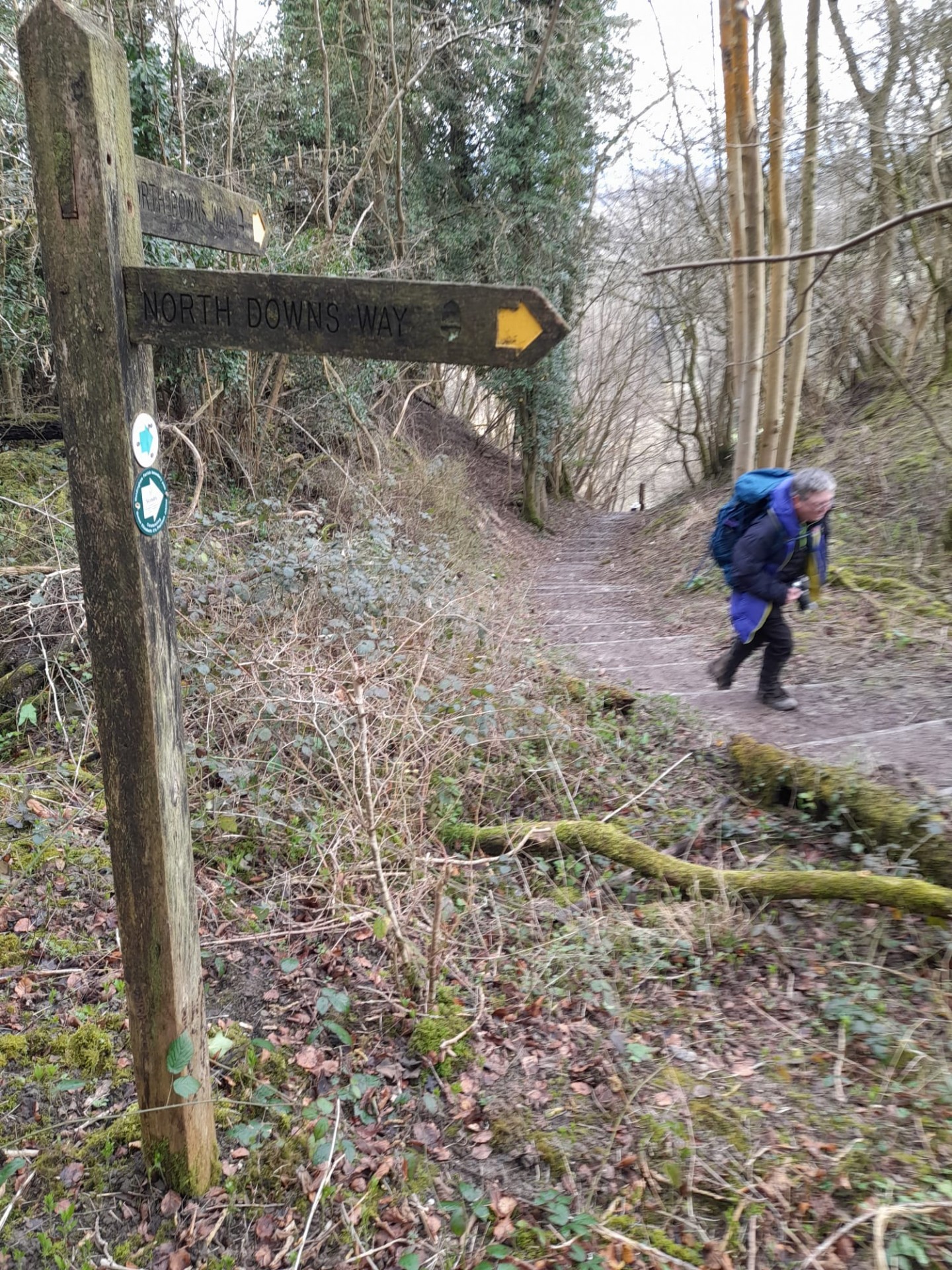
As a result a walk which our leader had found not overly taxing when on a recce in December proved to be far more so on the day of staging; not helpful when there was a fair bit of undulation! It was over the North Downs via the Woldingham Parish Boundary Path, set up by the local Scouts for the Platinum Jubilee, and certainly not a stroll in the park as once over the Downs and down a steep descent, it was not long before a 100+ flight of steps back up onto them.
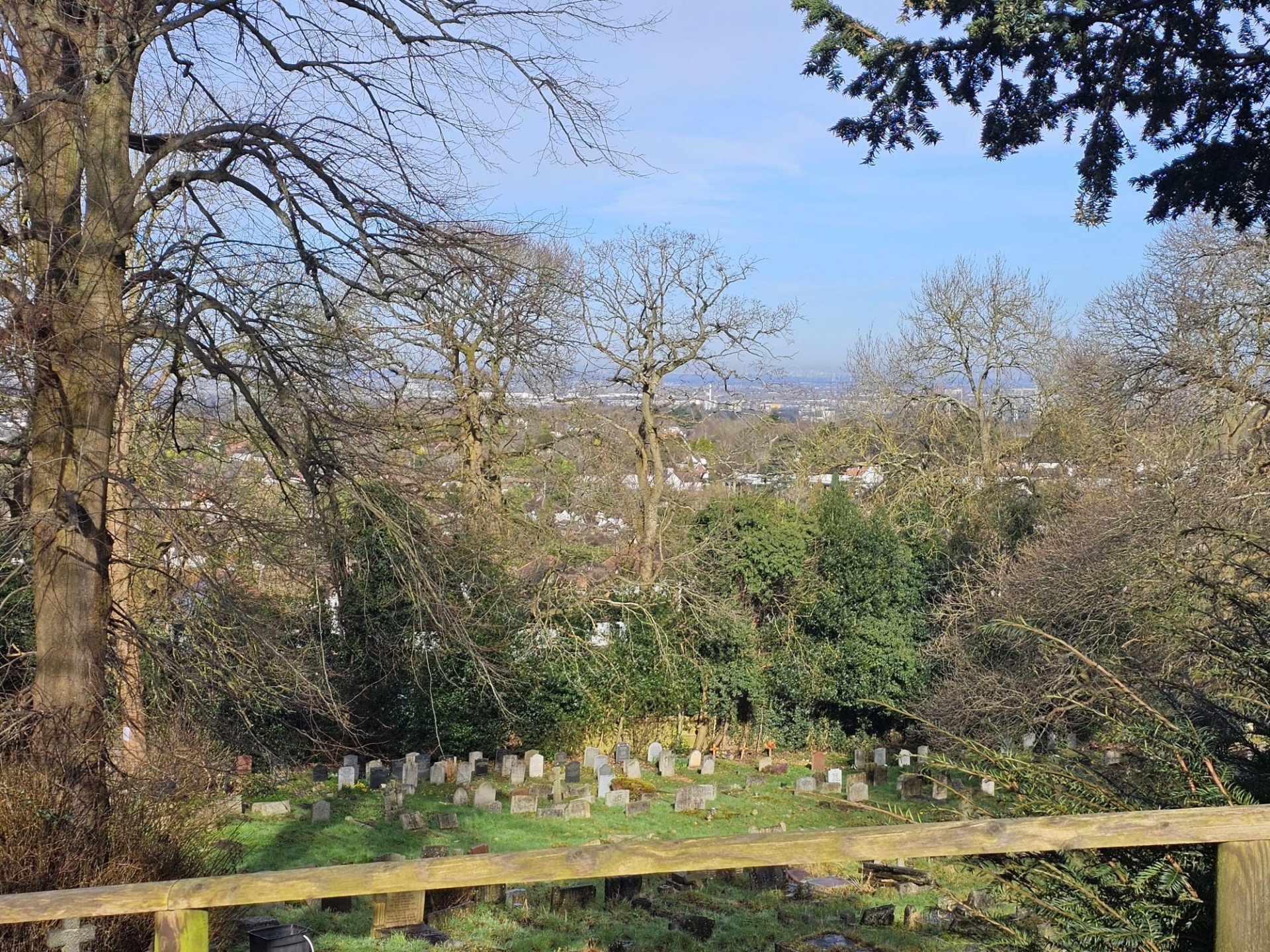
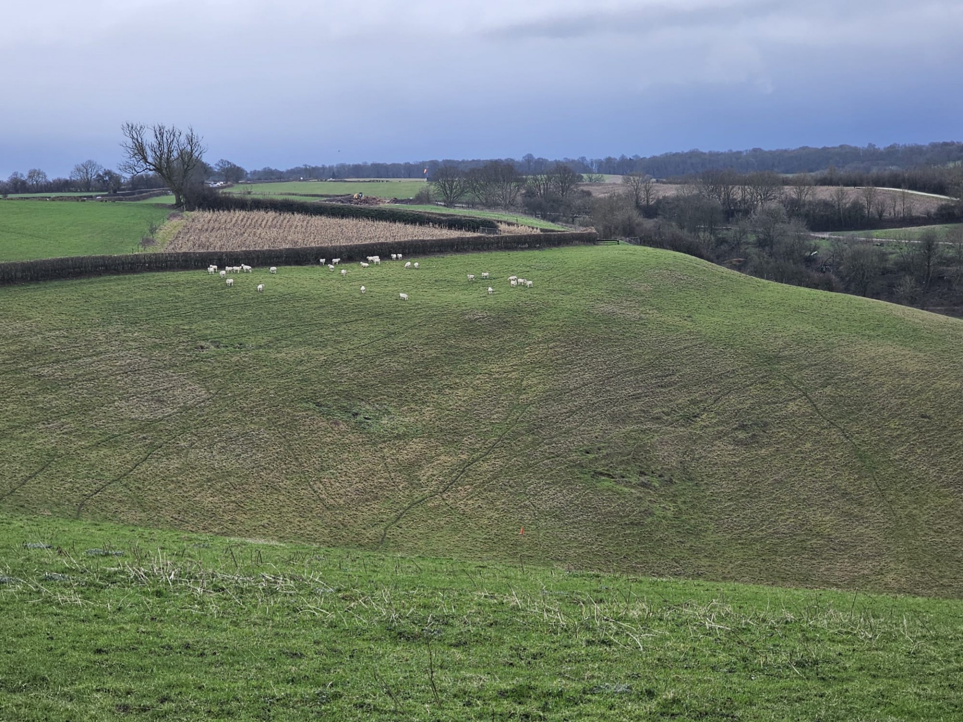
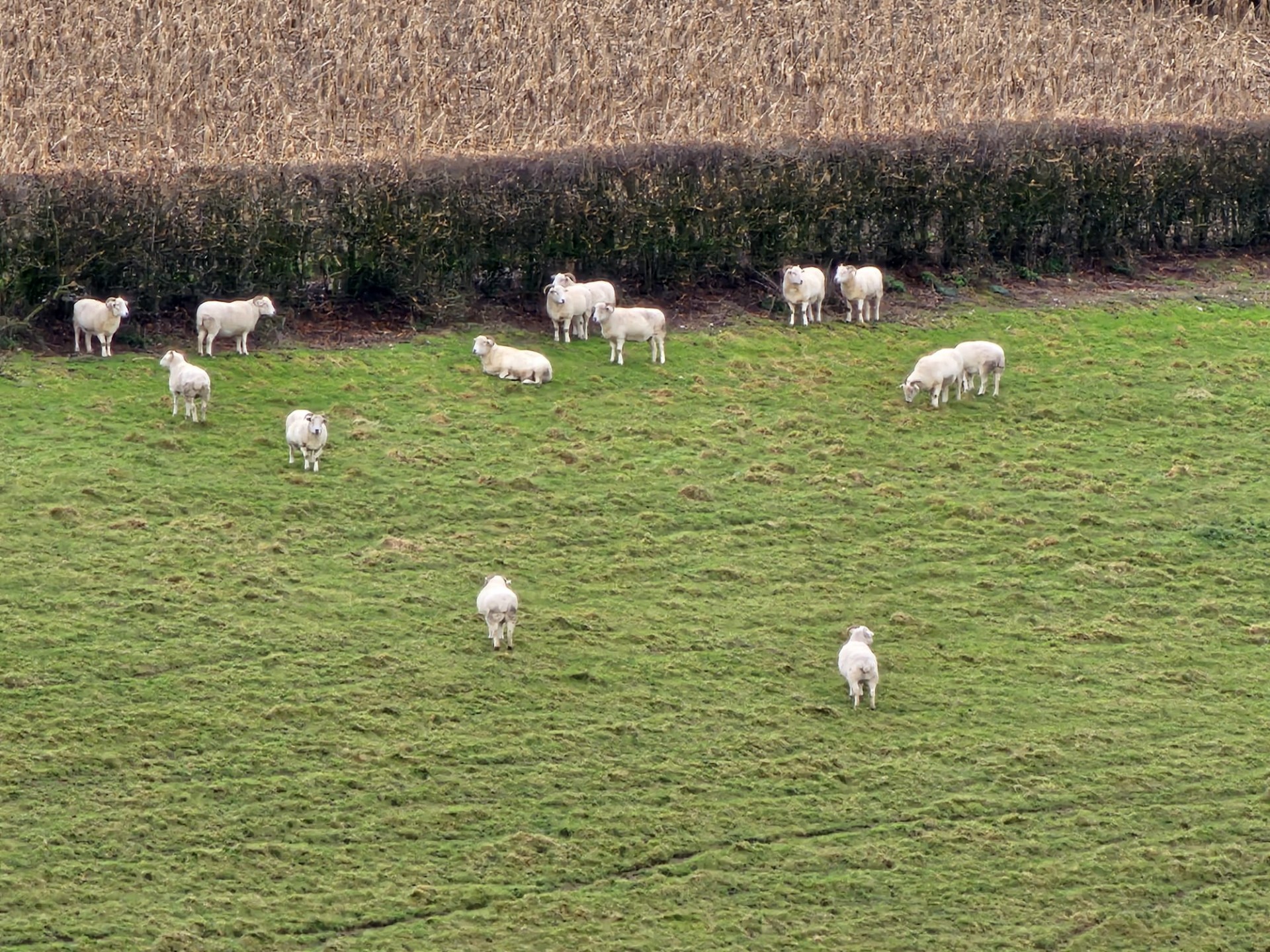
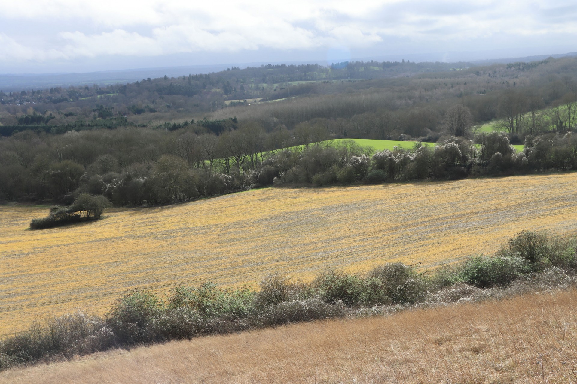
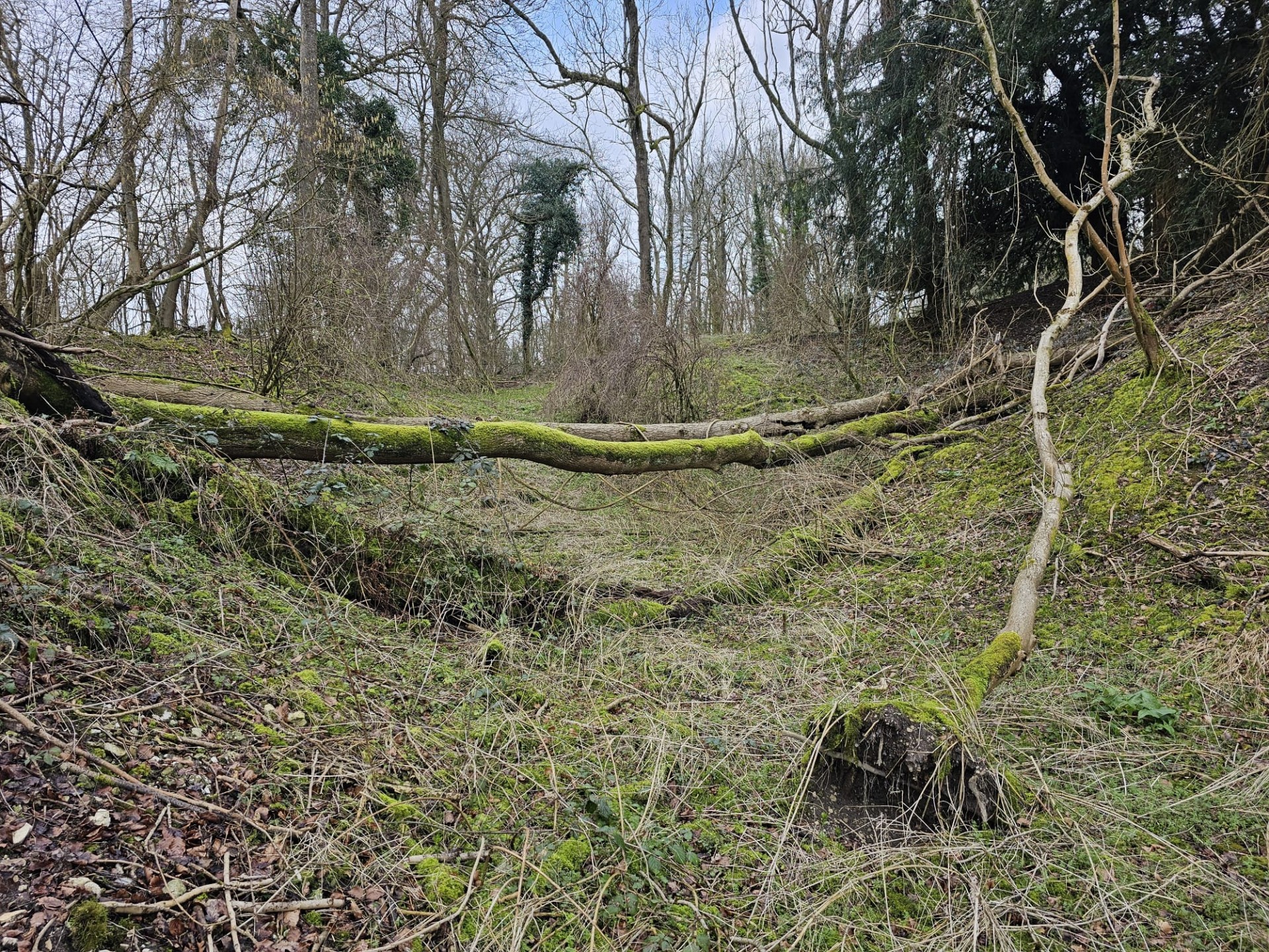
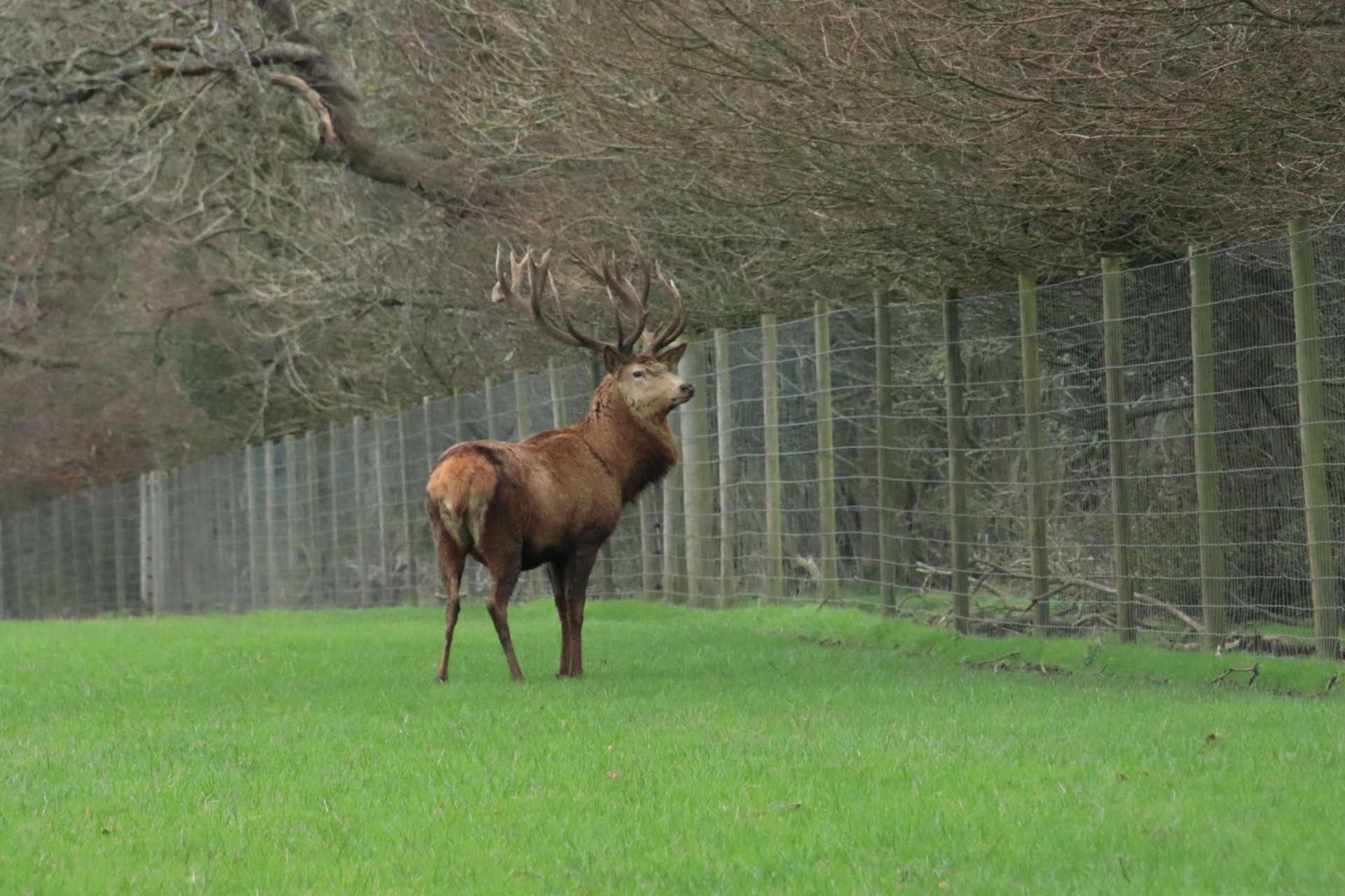
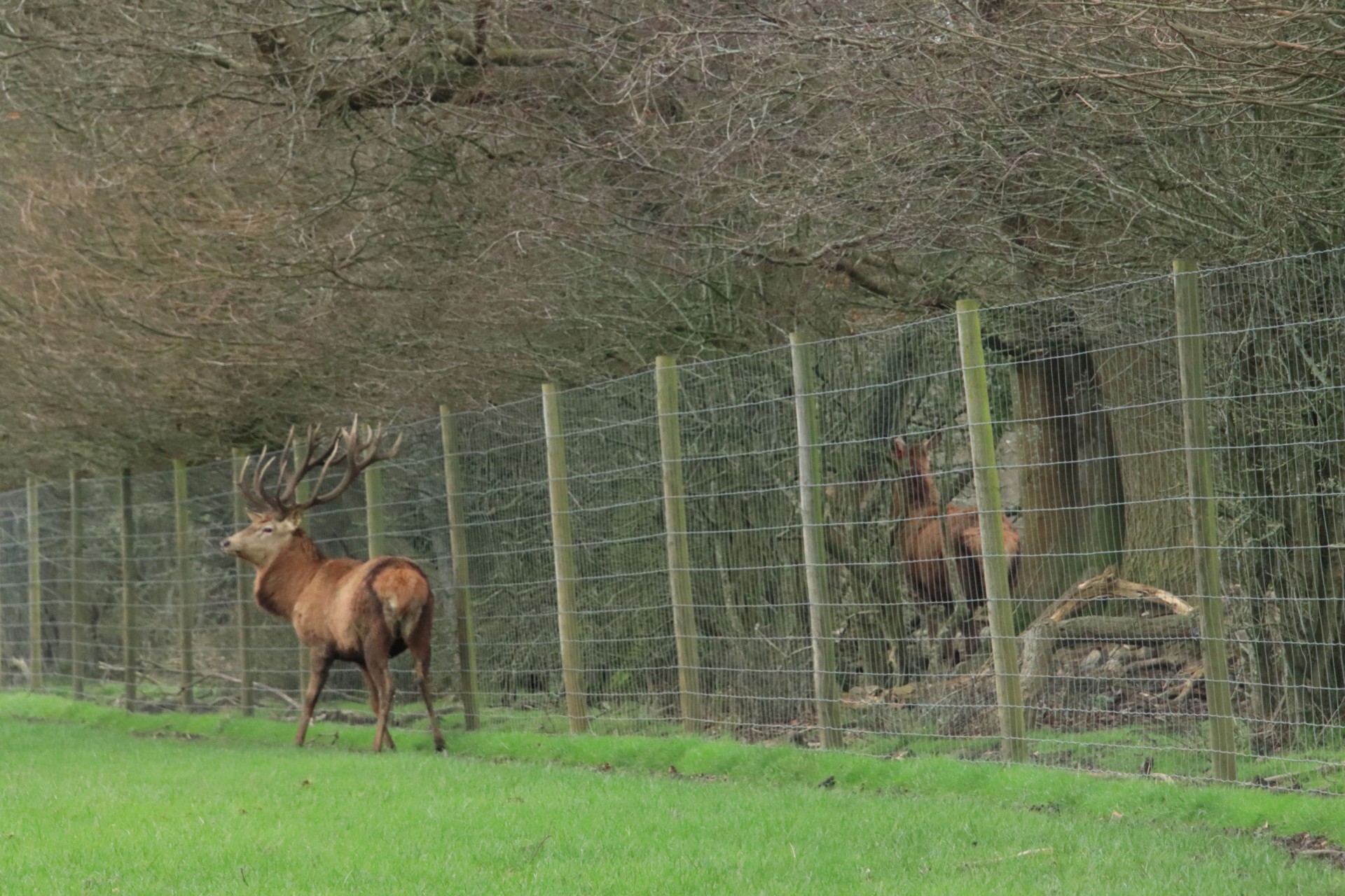
Fortunately the lunch break in Marden Woods came not long after this, and then it was a gentle descent past Woldingham School and then more undulations out of the part, enlivened by negotiating a couple of fallen trees and the sight of a rather impressive stag. Back onto the WPBP, it was down into Caterham, where two people left at the break point, and the sight of the next hill in the village made a third decide to break off as well!
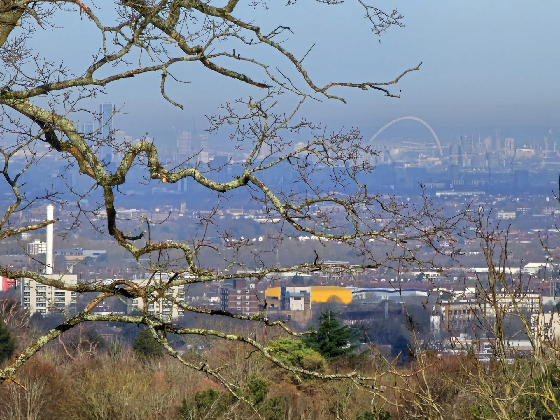
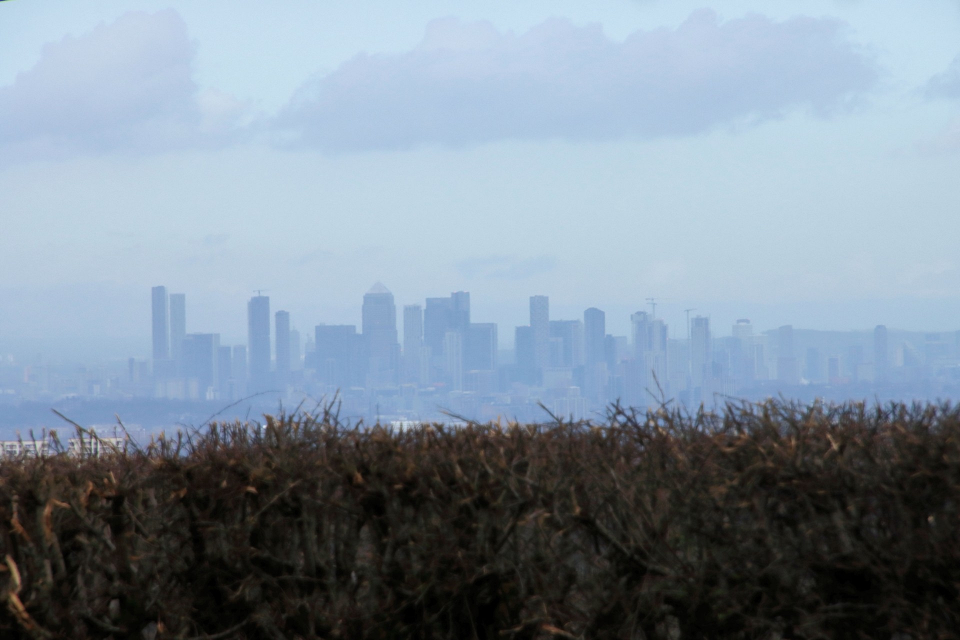
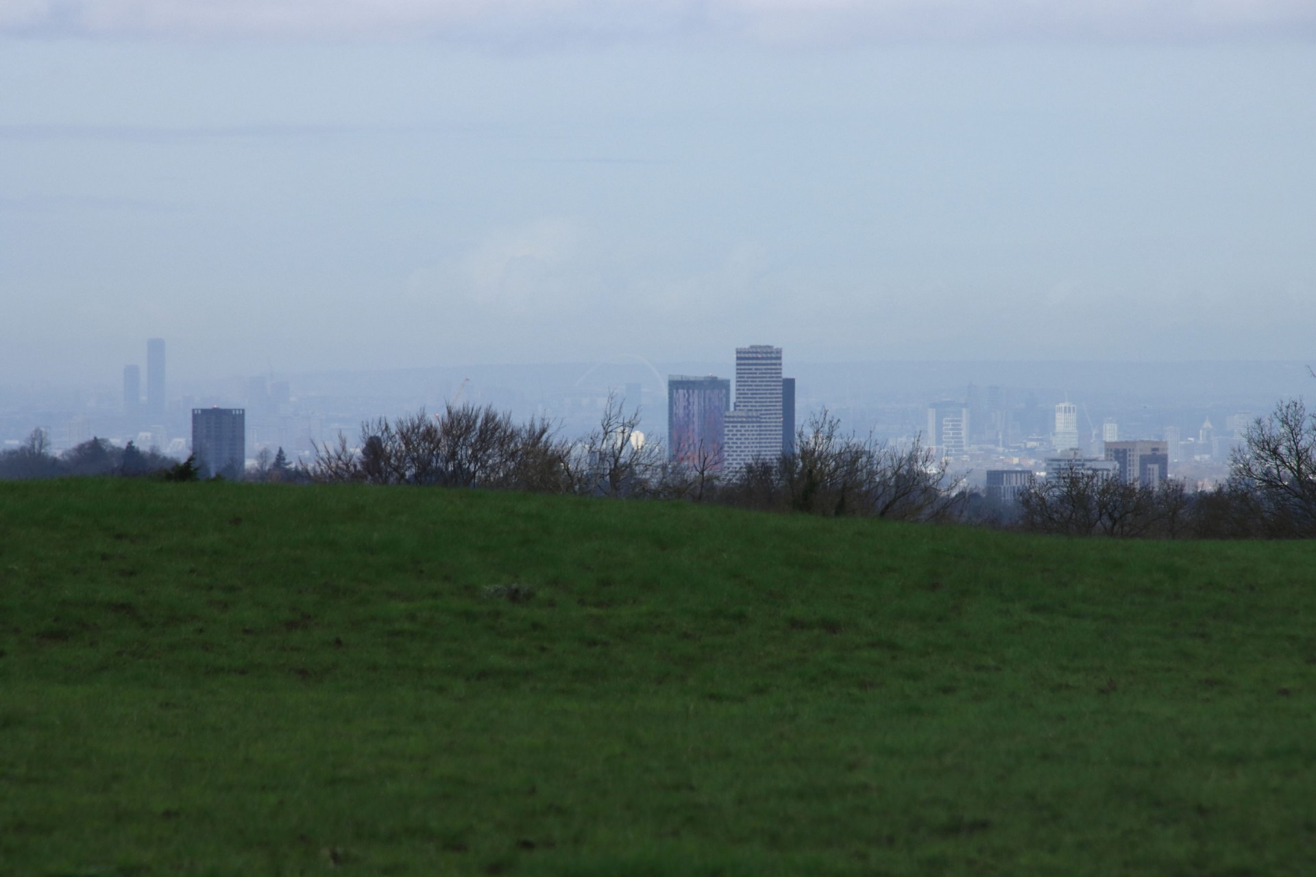
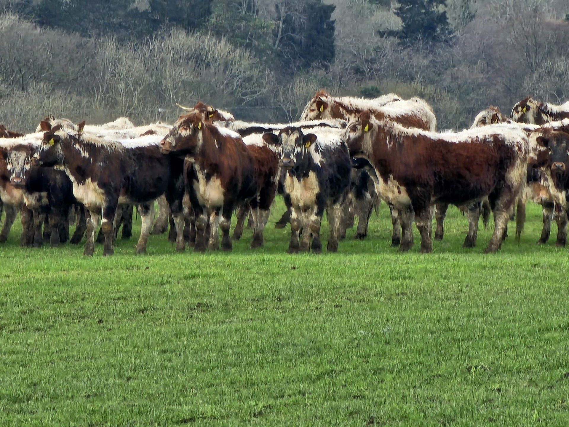
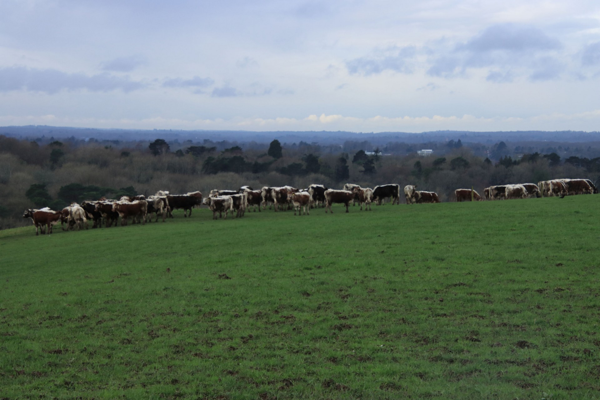
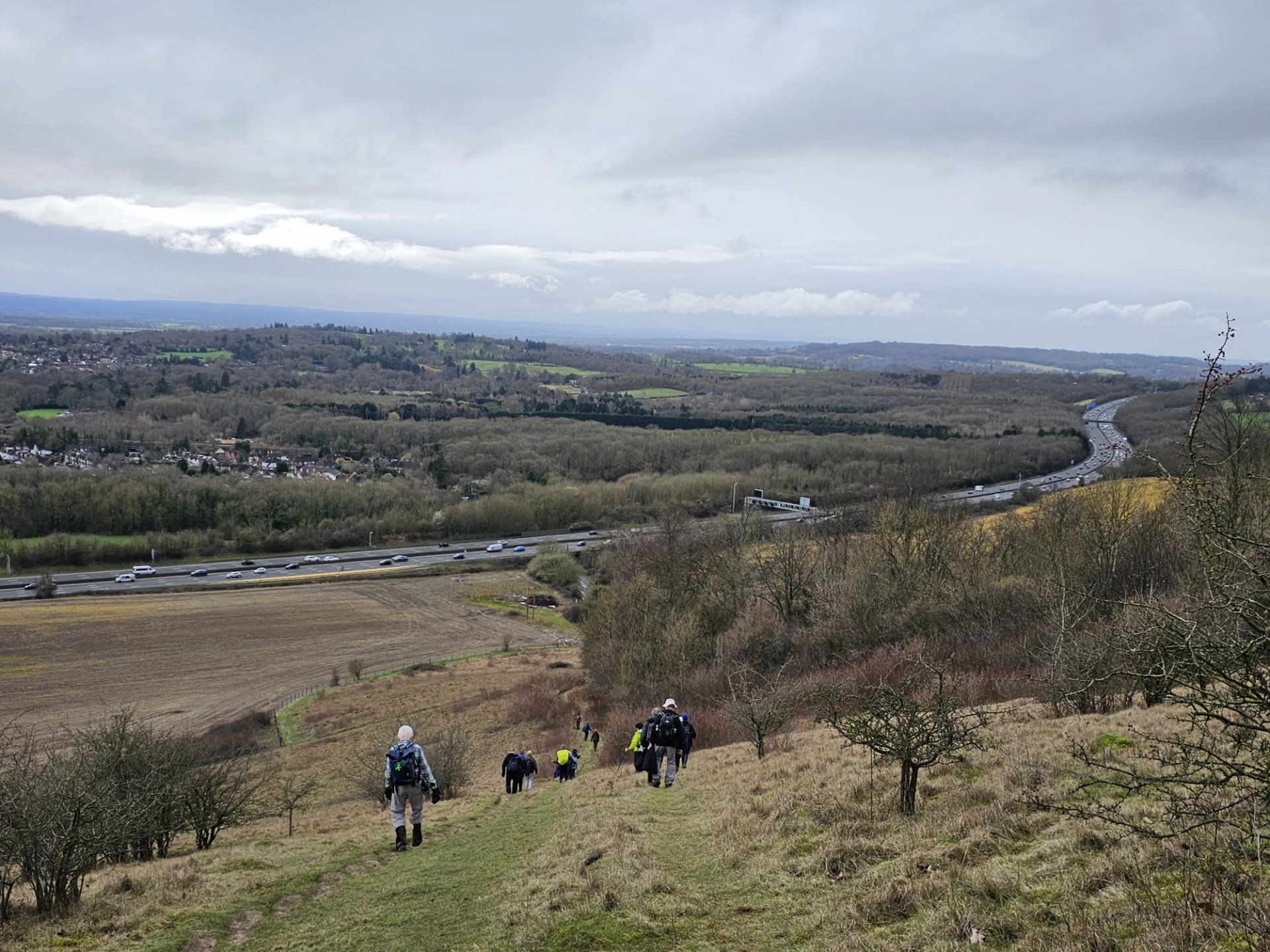
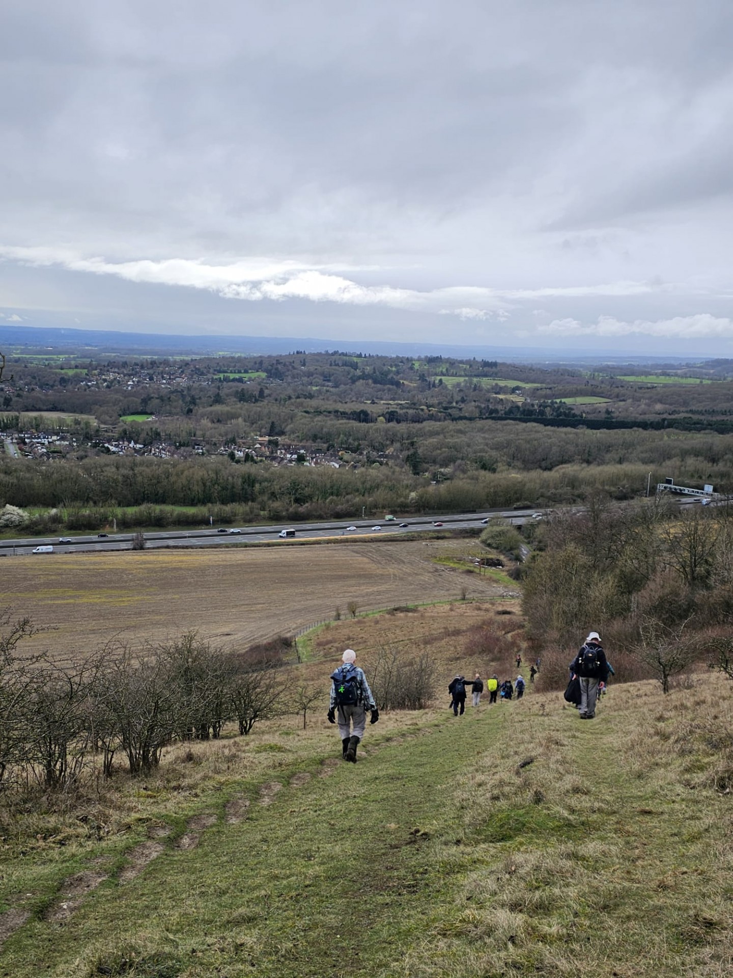
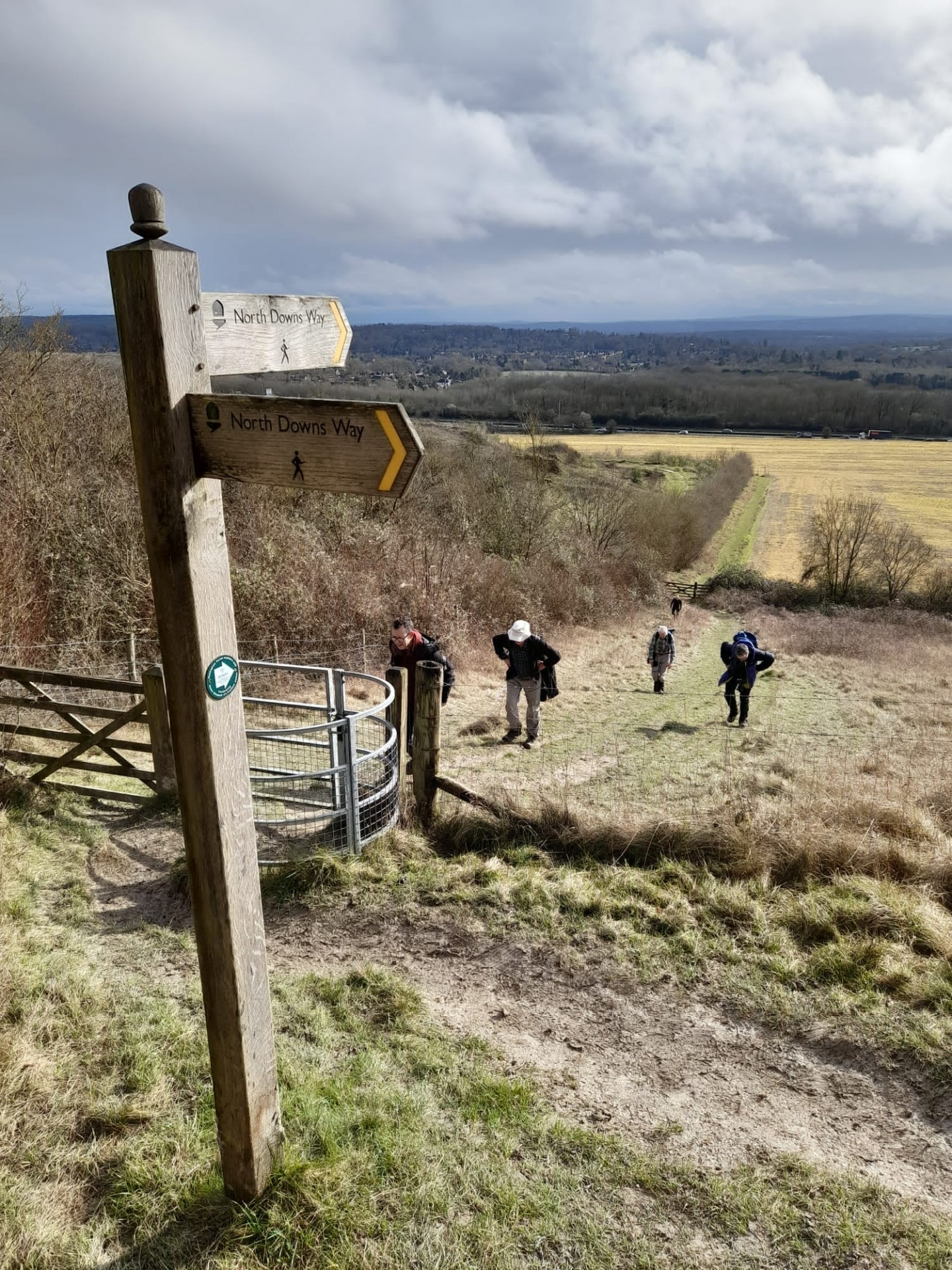
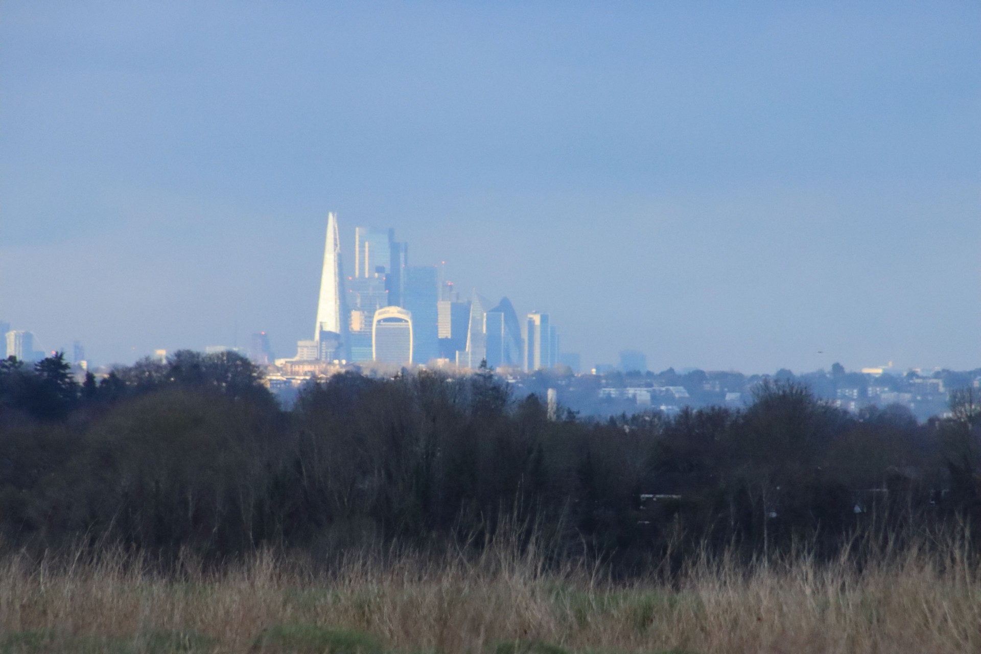
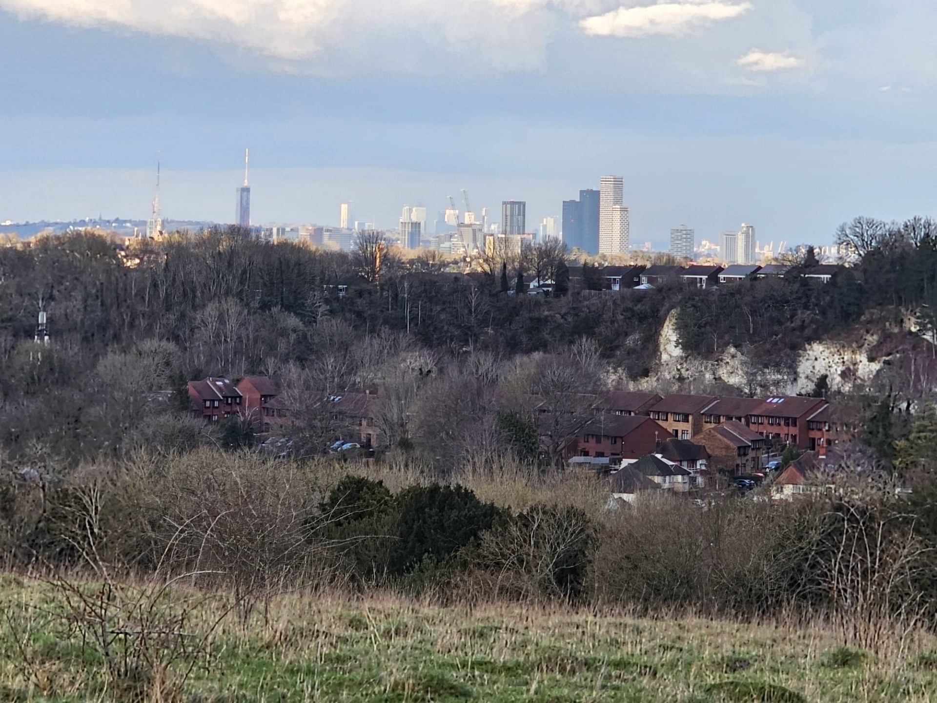
Then it was more undulations across a somewhat empty Surrey National Golf Course, a walk across the length of Happy Valley where at the end despite all their tribulations everyone opted for the steep ascent out rather than the gradual one. The climb onto Farthing Down saw our exhausted walkers rewarded with a splendid view of the towers of the City of London and the Shard gleaming in the evening sunlight, which lifted the spirits for the final descent to welcome relief in the sight of Coulsdon South station, by which time they'd come up with some alternative adjectives for the walk!
Photographs by Barry Eade, Gavin Fuller and Steve Wills
Other Files
Download Walk ReportGPX
A GPX file of the above route may be downloaded by clicking the link below.
Note: GPX files of Group Walks are created by LDWA Group members, and may be downloaded only by other LDWA members. They should not be made available outside the LDWA, and are used at members' own risk.
Login to Download (Members Only)You can use the interactive controls to zoom in and out and to move around the map, or click on a path or a marker for more info. (interactive map help)
You can use the interactive controls to zoom in and out and to move around the map, or click on a path or a marker for more info. (interactive map help)
© OpenStreetMap contributors under Open Database Licence
Rights of way data from selected Local Authorities
Large scale digital mapping is provided by John Thorn
At high zoom levels the route is indicative only.
Gallery


Maps:
You can use the interactive controls to zoom in and out and to move around the map, or click on a marker for more info. (interactive map help)
© OpenStreetMap contributors under Open Database Licence.
Rights of way data from selected Local Authorities.
Large scale digital mapping is provided by John Thorn.


