


Southend West
Sat 26th Sep 2020
Walk Details:
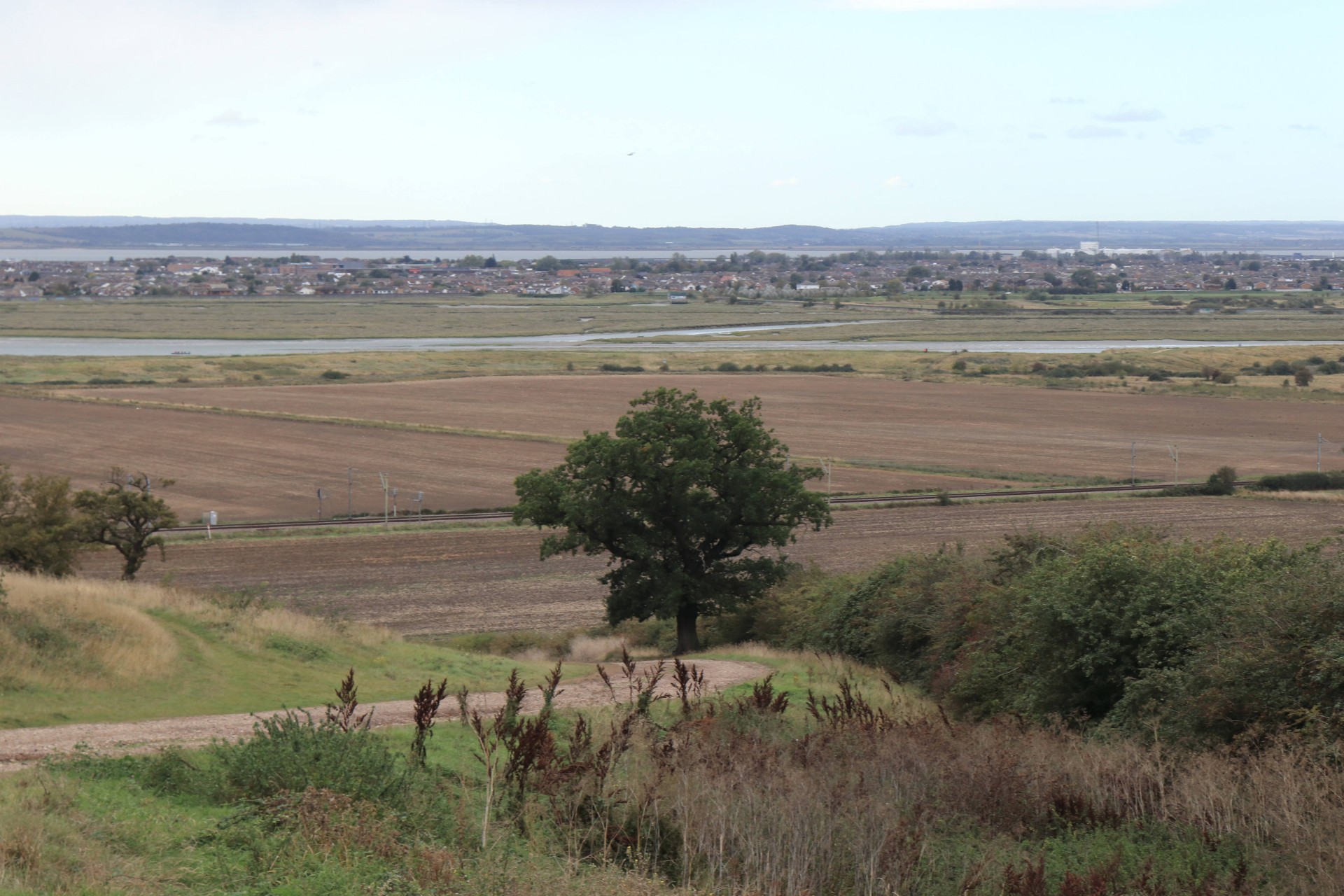
An exploration of the countryside on the western fringe of the Londoners playground, followed by a promenade along the sea front to the centre of town
Entry Details:
Walk Report
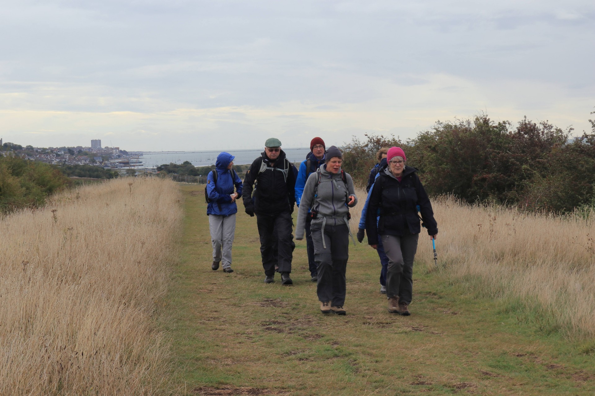
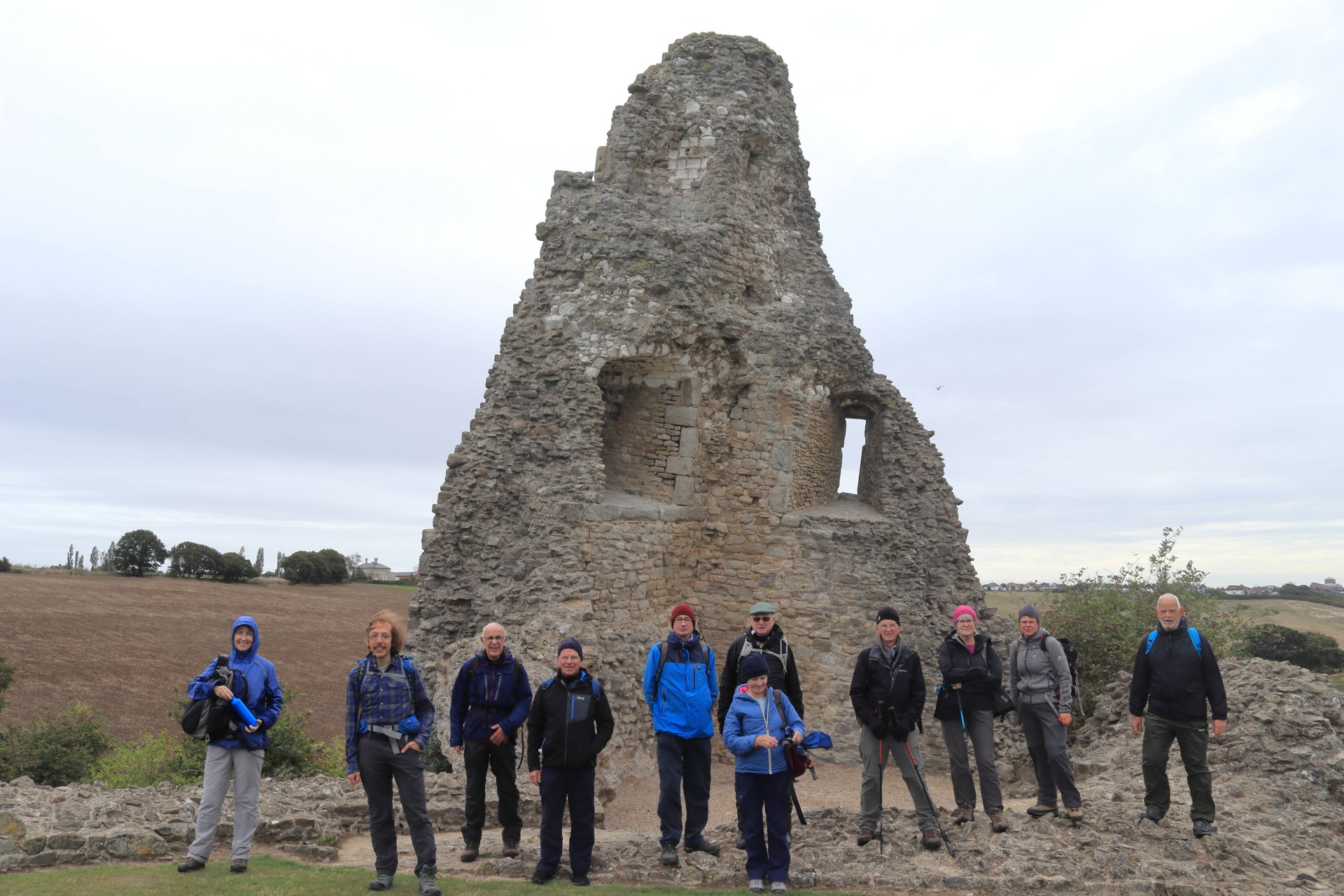
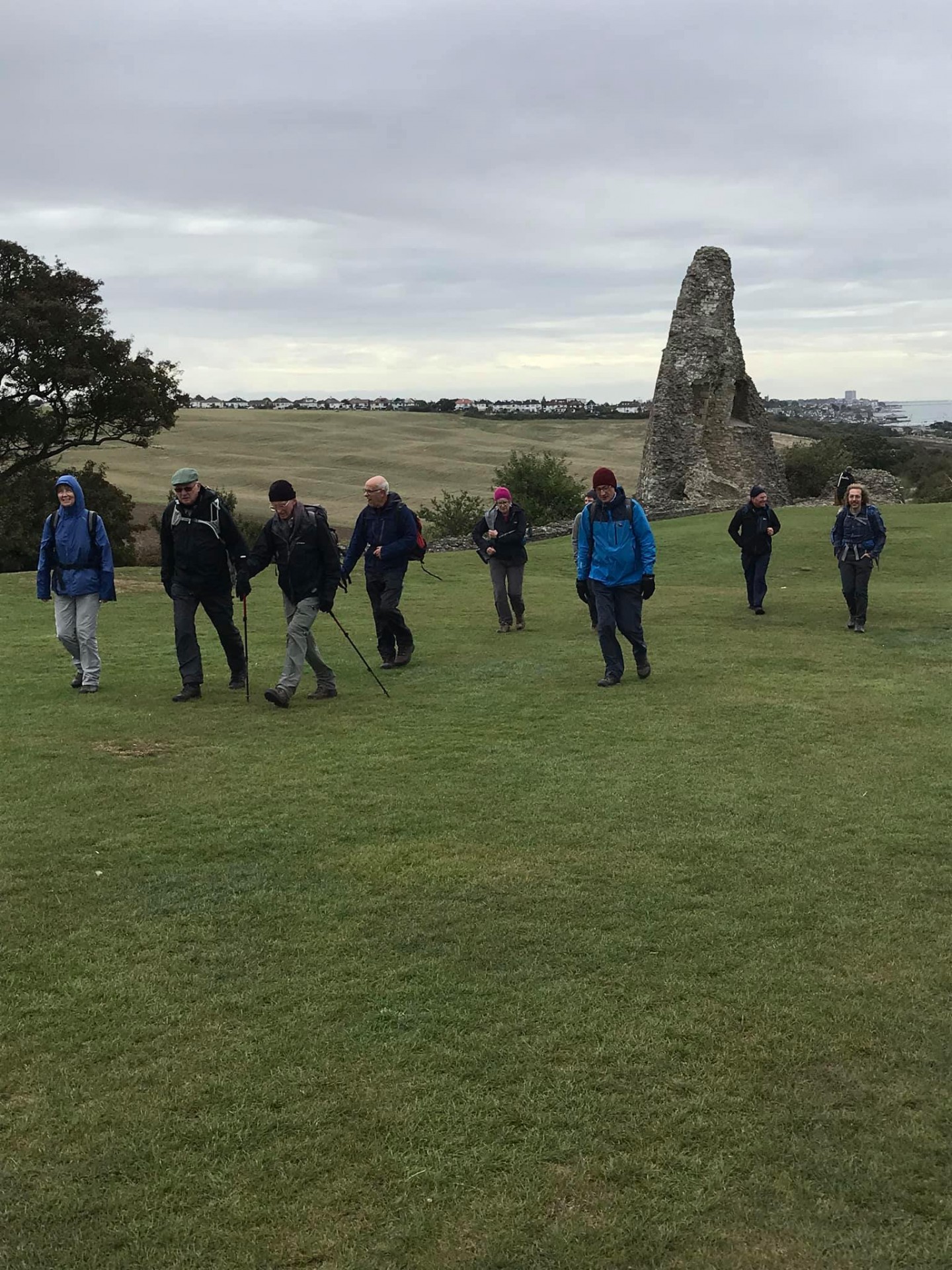
Southend West, Saturday 26th September 202012 walkers, 19 miles - leader Ron Williamson
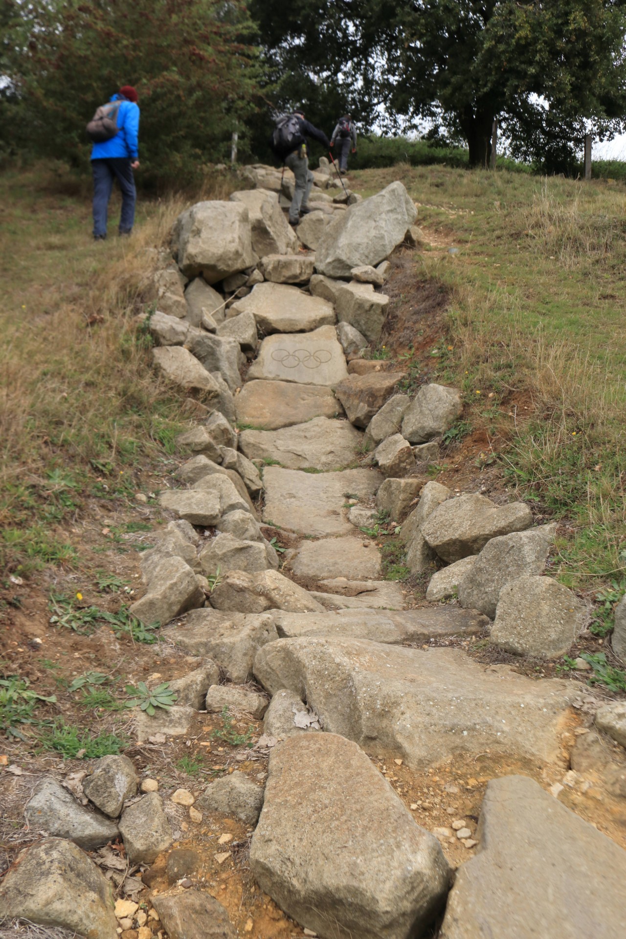
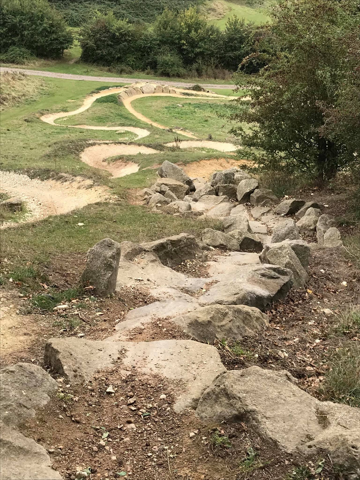
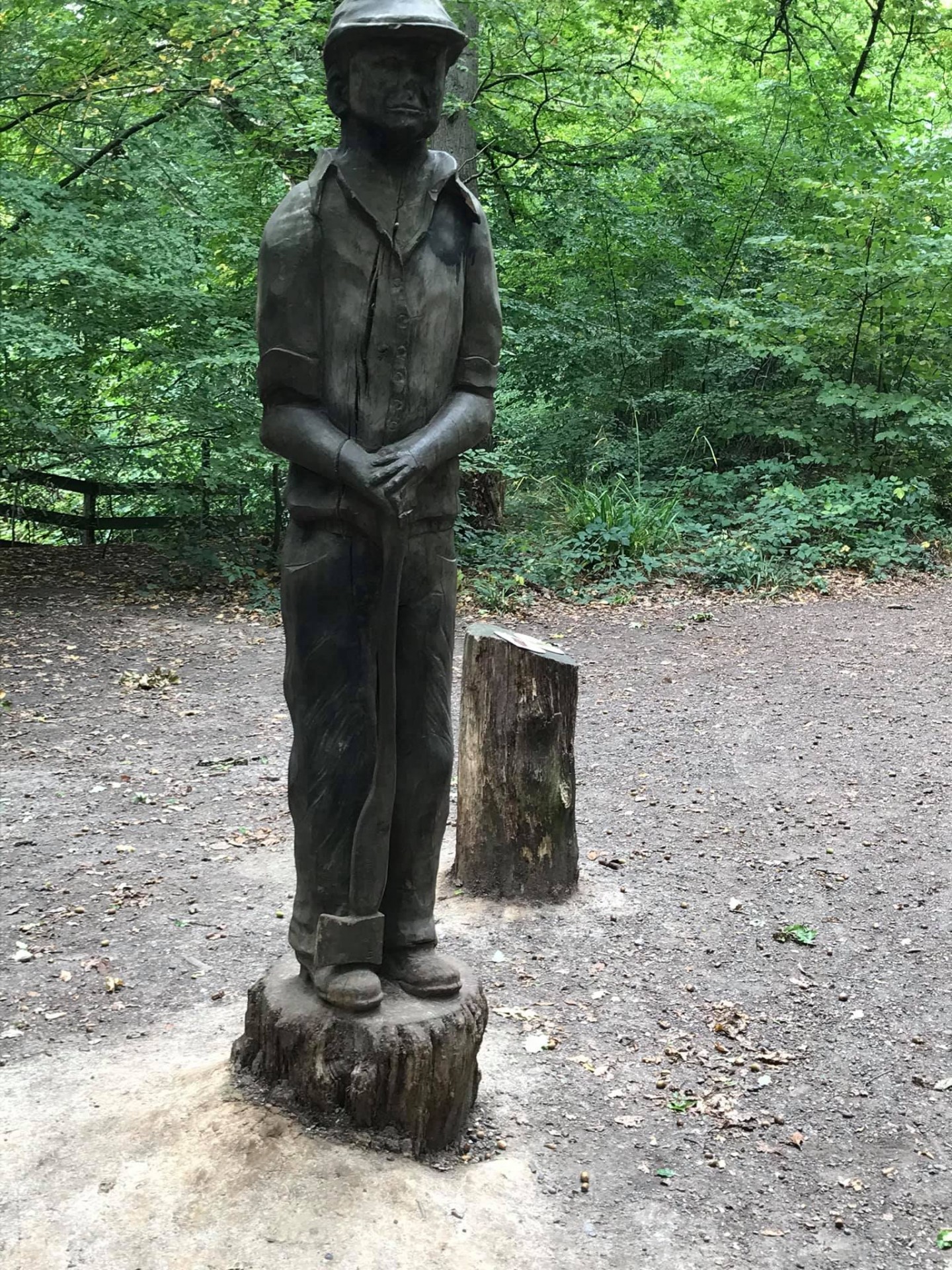
The shorts and T-shirts so prevalent earlier in the week had been replaced with winter warmers when today's adventurers ventured forth under grey skies into a fresh North-Westerly. Not the most encouraging morning for an early start, but having pre-booked we had to turn up and is so often the case in such circumstances the strong wind soon blew any cobwebs away whilst the arctic-like temperatures ensured that we did not overheat on the hill climbs. Never far from the urban jungle of South-East Essex our route linked various pockets of wood and parkland before a somewhat undulating introduction to the sea front.
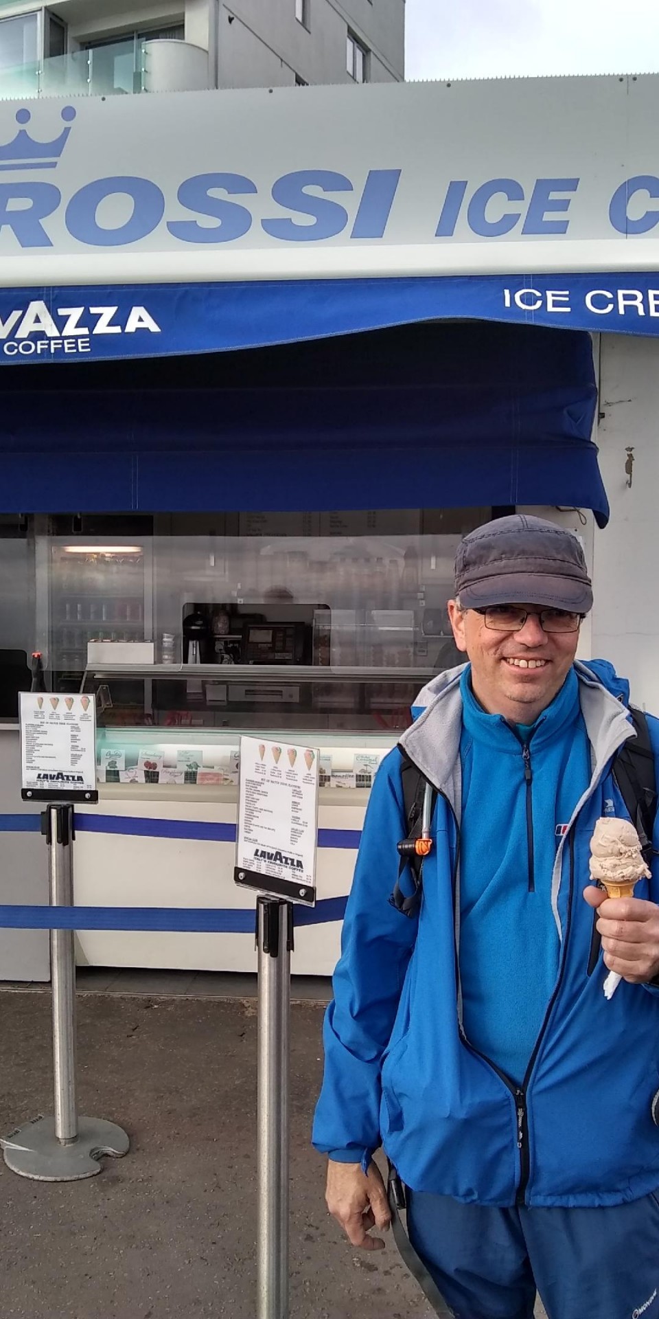
Only one brave soul partook of an ice cream but 7 members defied the elements to walk the pier and thereby complete the 19 miles and 1,000 ft of climb.
Photographs by Gavin Fuller, George Johns and Ian Watson
Other Files
Download Walk ReportGPX
A GPX file of the above route may be downloaded by clicking the link below.
Note: GPX files of Group Walks are created by LDWA Group members, and may be downloaded only by other LDWA members. They should not be made available outside the LDWA, and are used at members' own risk.
Login to Download (Members Only)You can use the interactive controls to zoom in and out and to move around the map, or click on a path or a marker for more info. (interactive map help)
You can use the interactive controls to zoom in and out and to move around the map, or click on a path or a marker for more info. (interactive map help)
© OpenStreetMap contributors under Open Database Licence
Rights of way data from selected Local Authorities
Large scale digital mapping is provided by John Thorn
At high zoom levels the route is indicative only.
Gallery


Maps:
You can use the interactive controls to zoom in and out and to move around the map, or click on a marker for more info. (interactive map help)
© OpenStreetMap contributors under Open Database Licence.
Rights of way data from selected Local Authorities.
Large scale digital mapping is provided by John Thorn.


