


South Chilterns Tour
Sat 31st Aug 2019
Walk Details:
Event Type
Group Walk
Region
Southern England
Local Group
London
Distance
19ml.
Start Time
09.10
Route
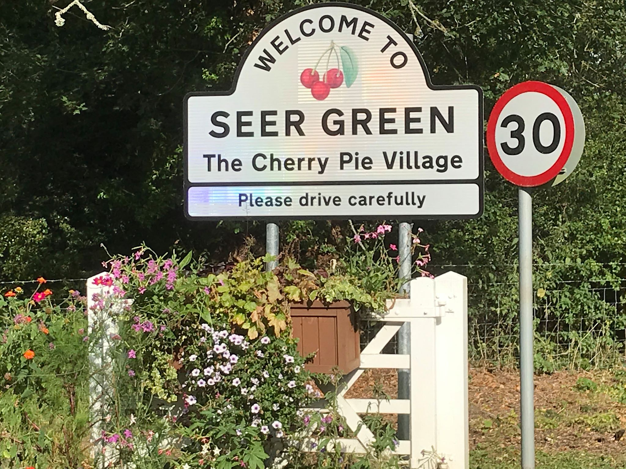
Seer Green (8.43 from Marylebone) and finish at Beaconsfield. Buy returns to Beaconsfield
Moderate hills and bluebell woods. Linear walk (nearly circular)
General Notes
Picnic or pub lunch
Web Site
Start
Finish
Entry Details:
Cost
Walk Report
South Chilterns Tour, Saturday 31st August 20199 walkers, 21 miles â leader Jerome Ripp
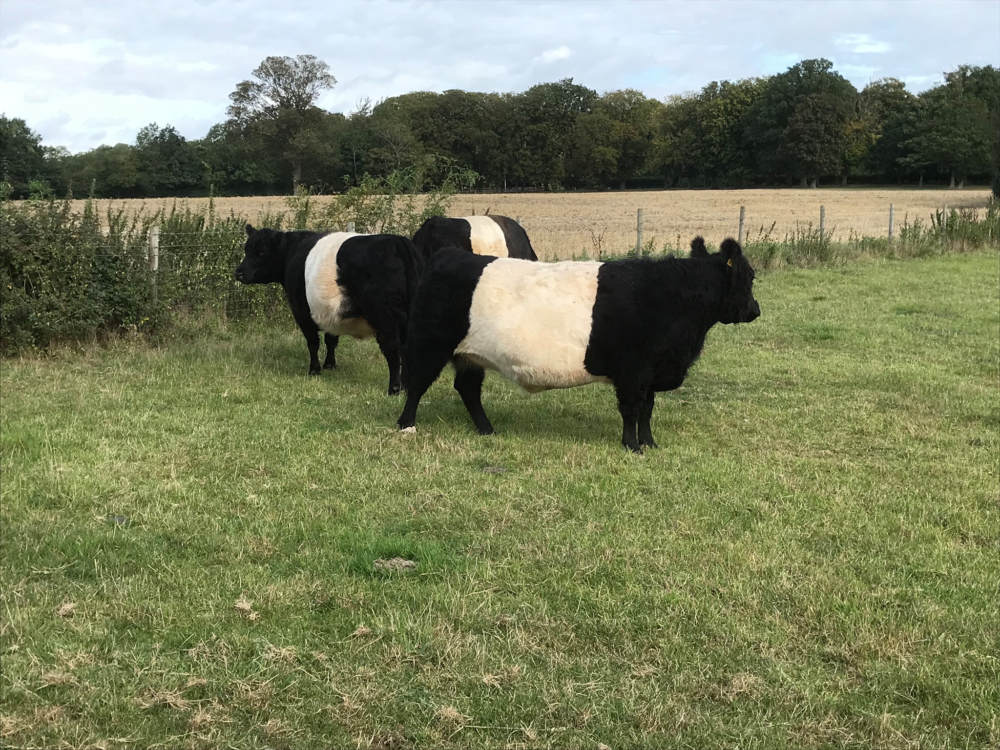
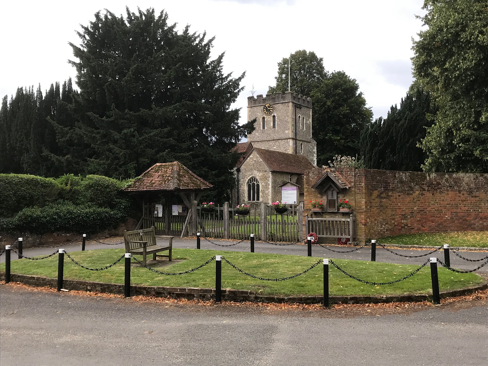
A footpath starts right outside the pocket handkerchief Victorian station of Seer Green and Jordans into the first of many woodlands which together with rolling hills, quiet country and long views were the features of the day. North to meet the Chiltern Way which was to be our companion for much of the day. West to Winchmore Hill for morning break and then south with a hillside picnic lunch overlooking Wycombe golf course and a vast panorama. The second part of lunch was at the flower-bedecked Crooked Billet pub at Flackwell and after further woods it was south to Little Marlow, lakes and the Thames path. From Bourne End, an old railway line lead to Wotton Green and then a "killer hill" to the edge of Beaconsfield. There was still an opportunity for another section of Chiltern Way before the final rather disorderly dash to the station. We were fortunate with the weather, an ideal late summer day for walking and the black clouds which threatened several times produced only a few minutes of drizzle. The leader did produce a few of his special extras on the day such as a walk down a private drive to view a special gate and a loop around a golf course but it was all taken in good spirits by the group â hopefully!!
Photographs by Ian Watson; more by In on the group Facebook site
Other Files
Download Walk ReportGallery
Maps:
You can use the interactive controls to zoom in and out and to move around the map, or click on a marker for more info. (interactive map help)
Contains Ordnance Survey data © Crown copyright and database right 2016.
© OpenStreetMap contributors under Open Database Licence.
Rights of way data from selected Local Authorities.
Large scale digital mapping is provided by John Thorn.
© OpenStreetMap contributors under Open Database Licence.
Rights of way data from selected Local Authorities.
Large scale digital mapping is provided by John Thorn.


