


Beane to Mimram
Sat 30th Nov 2019
Walk Details:
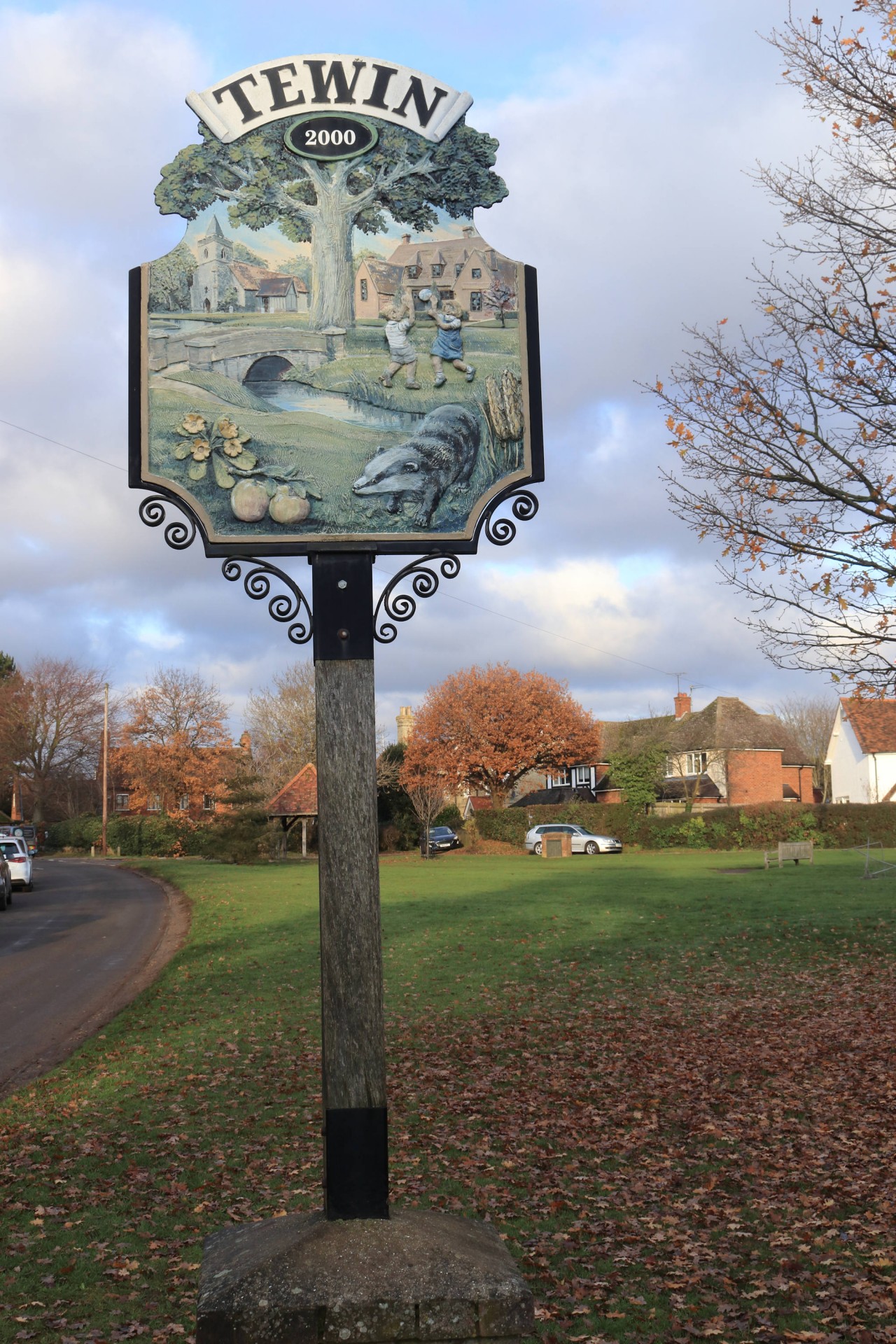
Out through the landscaped grounds of Woodhall Park, back by Bramfield Woods. Please bring a headtorch in case of a late finish
Entry Details:
Walk Report
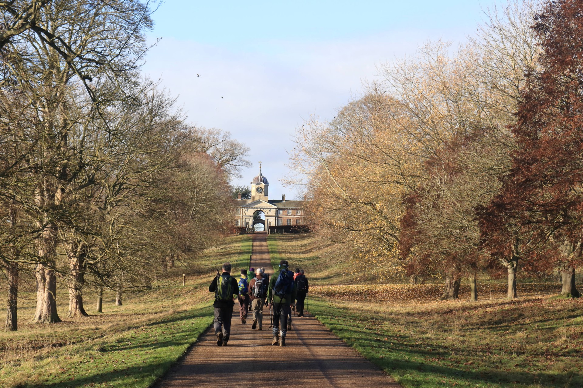
Beane to Minram, Saturday 30th November 201911 walkers, 18.4 miles - leader Peter Aylmer. Mud rating 5/10
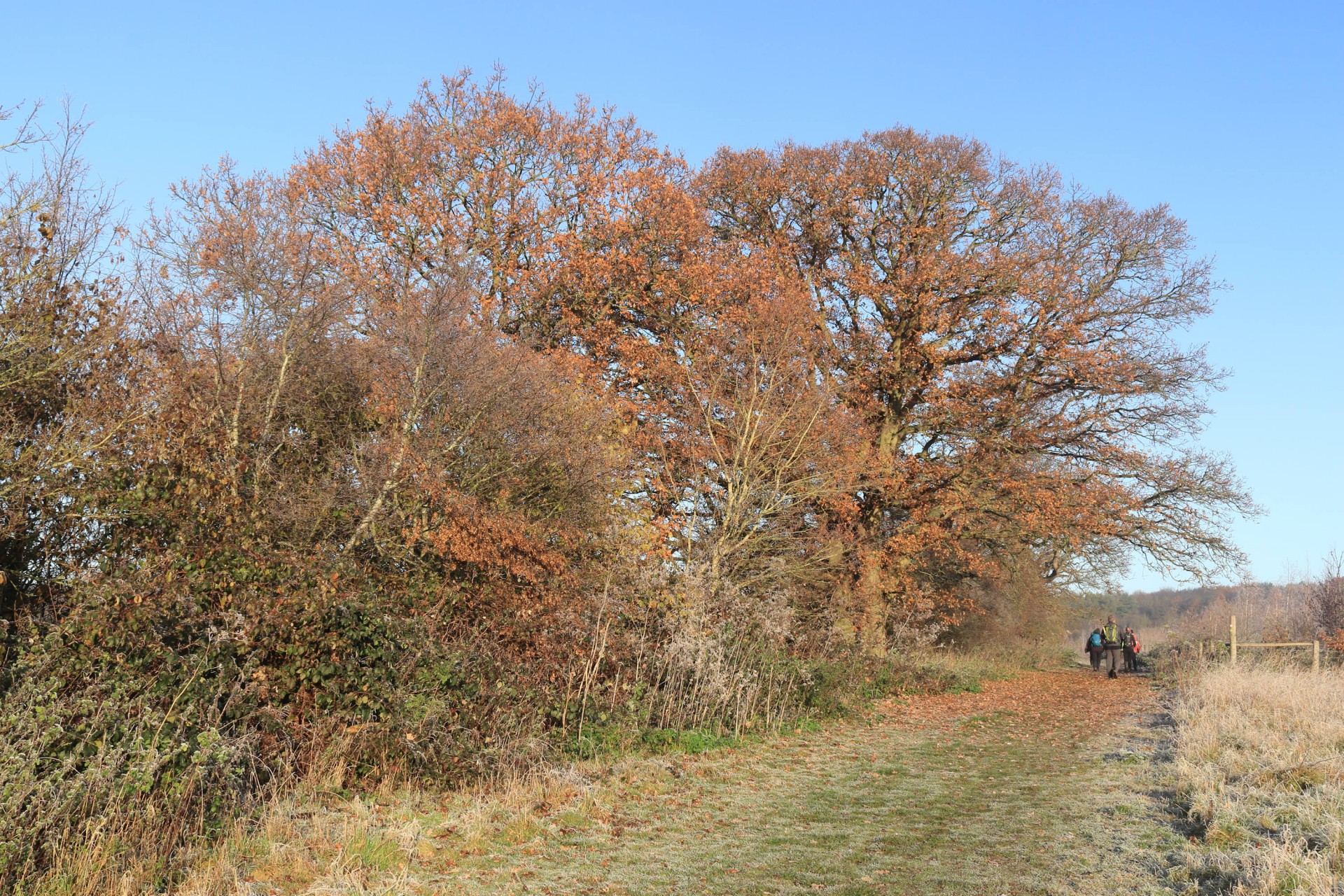
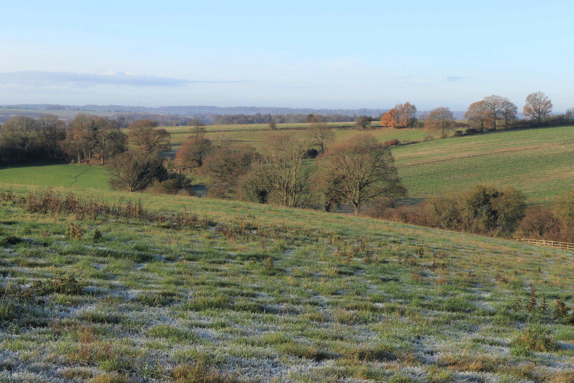
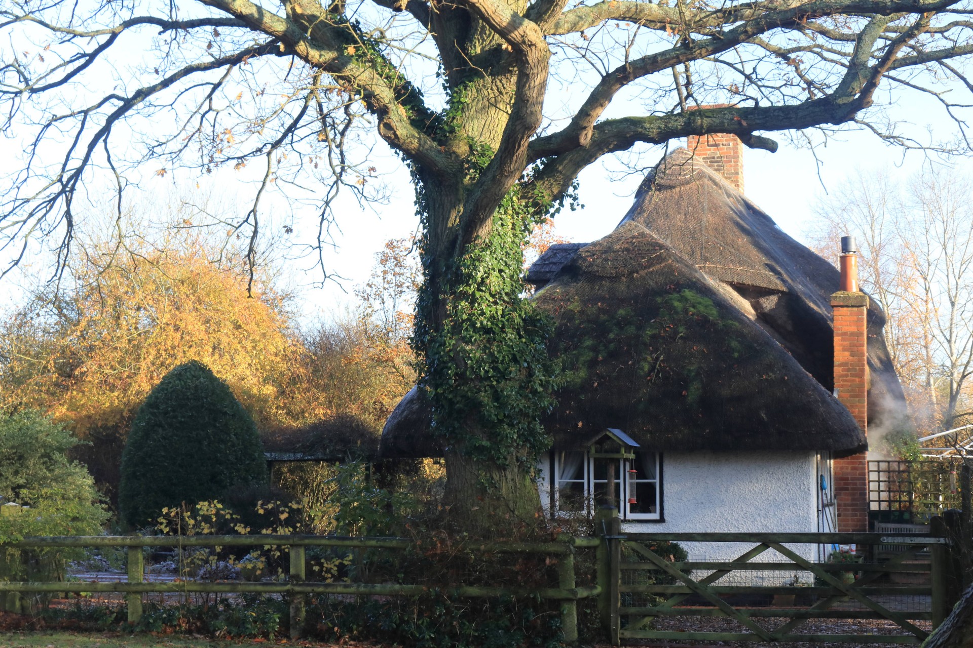
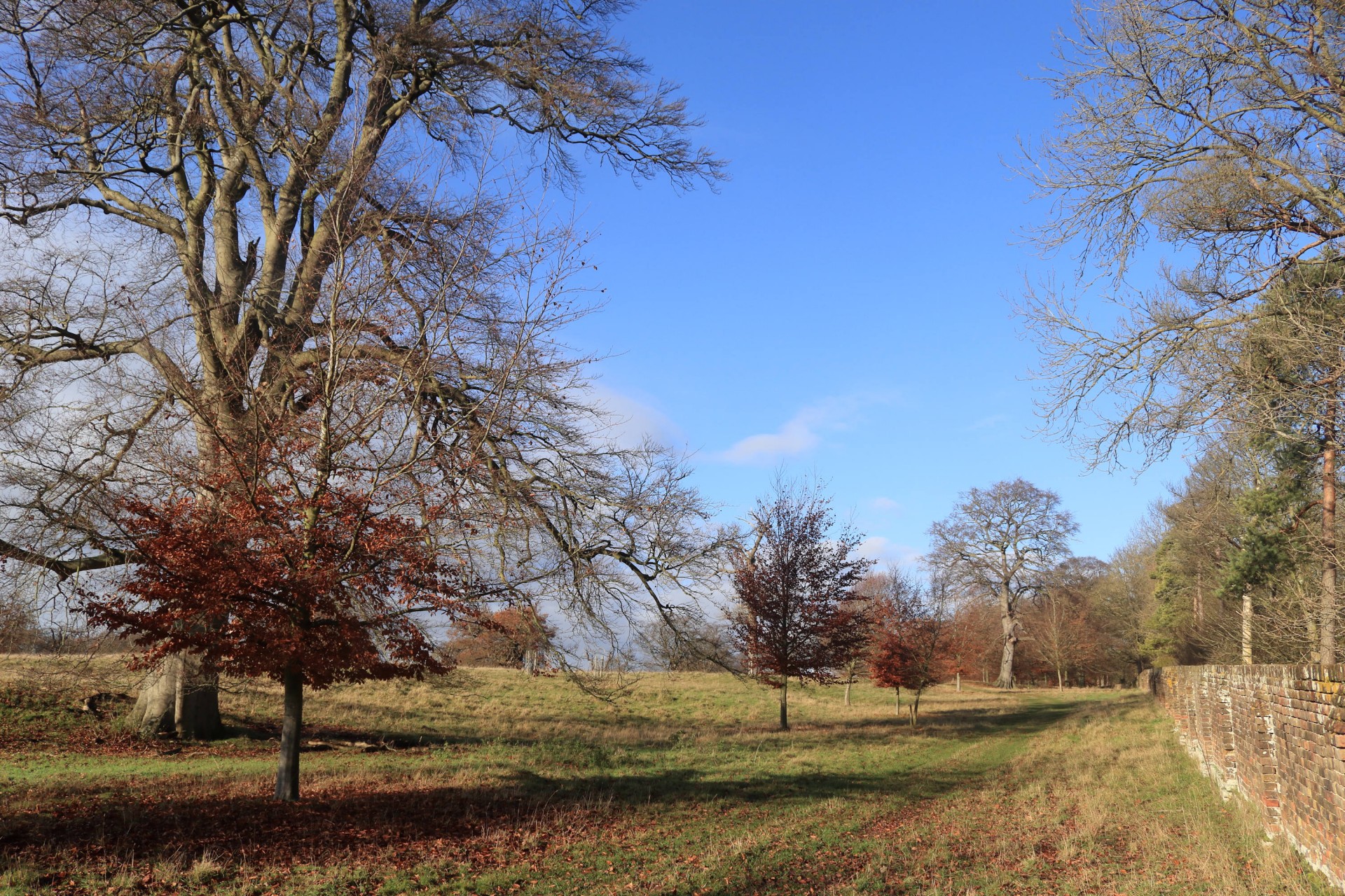
Sometimes the weather does good things and today was one of those days. A bit chilly at the start, but nothing a brisk stride down to the first of today's rivers, the Beane, couldn't cure. And soon we were deep into rural Hertfordshire, just 20 miles from the capital but a world away from London's bustle and noise. We even had a ladder stile to contend with, bridging the stout wall around the Woodhall Estate. The Estate are good to walkers. They provide many permissive paths, which we made good use of for the remainder of the walk.
The Grandison at Bramfield sounds posh and indeed there were many diners tucking into the fine menu, but the staff welcomed us happily. From here the walk alternated between woods and fields, with views over the Mimram valley to the delights of Welwyn. Those with eagle eyes just about managed to beat the dark - and the 1635 was conveniently late for those headed back to town.
Photographs by Gavin Fuller; more from Gavin and Ian Fairweather on the group Facebook site.
Other Files
Download Walk ReportGPX
A GPX file of the above route may be downloaded by clicking the link below.
Note: GPX files of Group Walks are created by LDWA Group members, and may be downloaded only by other LDWA members. They should not be made available outside the LDWA, and are used at members' own risk.
Login to Download (Members Only)You can use the interactive controls to zoom in and out and to move around the map, or click on a path or a marker for more info. (interactive map help)
You can use the interactive controls to zoom in and out and to move around the map, or click on a path or a marker for more info. (interactive map help)
© OpenStreetMap contributors under Open Database Licence
Rights of way data from selected Local Authorities
Large scale digital mapping is provided by John Thorn
At high zoom levels the route is indicative only.
Gallery

Maps:
You can use the interactive controls to zoom in and out and to move around the map, or click on a marker for more info. (interactive map help)
© OpenStreetMap contributors under Open Database Licence.
Rights of way data from selected Local Authorities.
Large scale digital mapping is provided by John Thorn.


