


Maldon from the South
Wed 24th Oct 2018
Walk Details:
Another route to this ancient town via sea walls and a dismantled railway
Entry Details:
Walk Report
Maldon from the South, Wednesday 24th October 201811 walkers, 18 miles - leader Ron Williamson
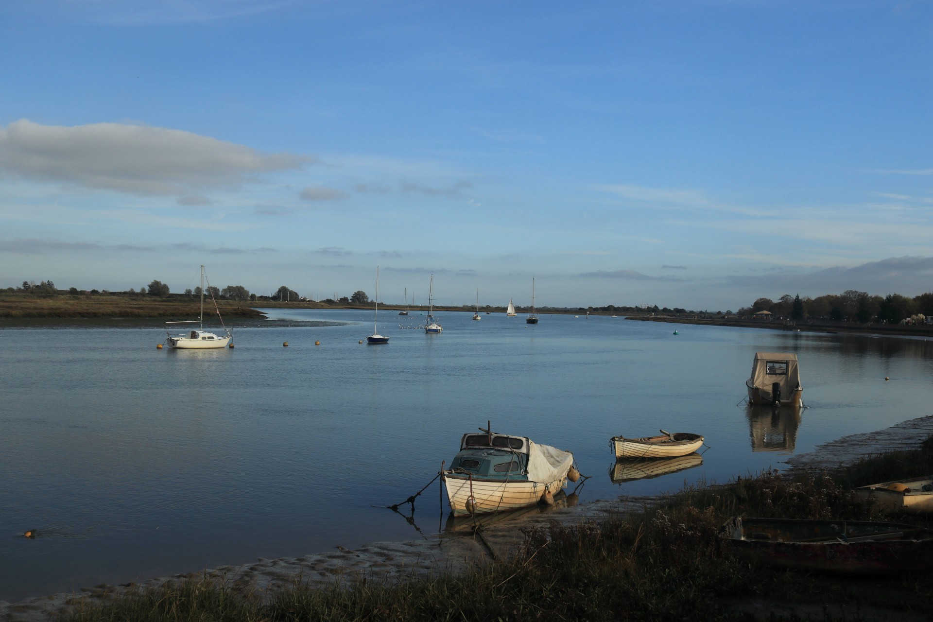
Continuing a recent theme of investigating the countryside surrounding stations of the Essex single track branch lines, we alighted at North Fambridge a village on the edge of the Dengie peninsula north of the River Crouch. Our intended route was to progress northwards for some 7 miles along the western boundary of the Dengie to Maldon before heading back to Althorne through the heart of the peninsula.
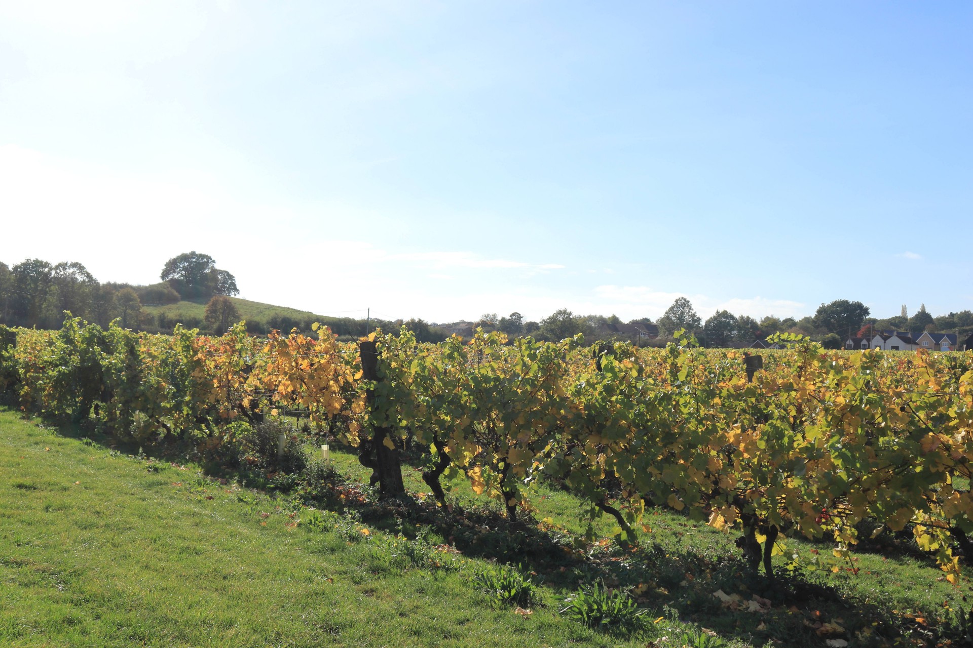
Good progress was made through Cold Norton with its church a mile from its parishioners. Somewhat surprised to find hills in this notoriously horizontal landscape we were glad of refreshments at Purleigh on top of the world. Onwards through the Essex vineyards, passing grand moated farm houses our approach to the Saxon town of Maldon was along a dismantled rail line which last saw passenger traffic nearly 80 years ago.
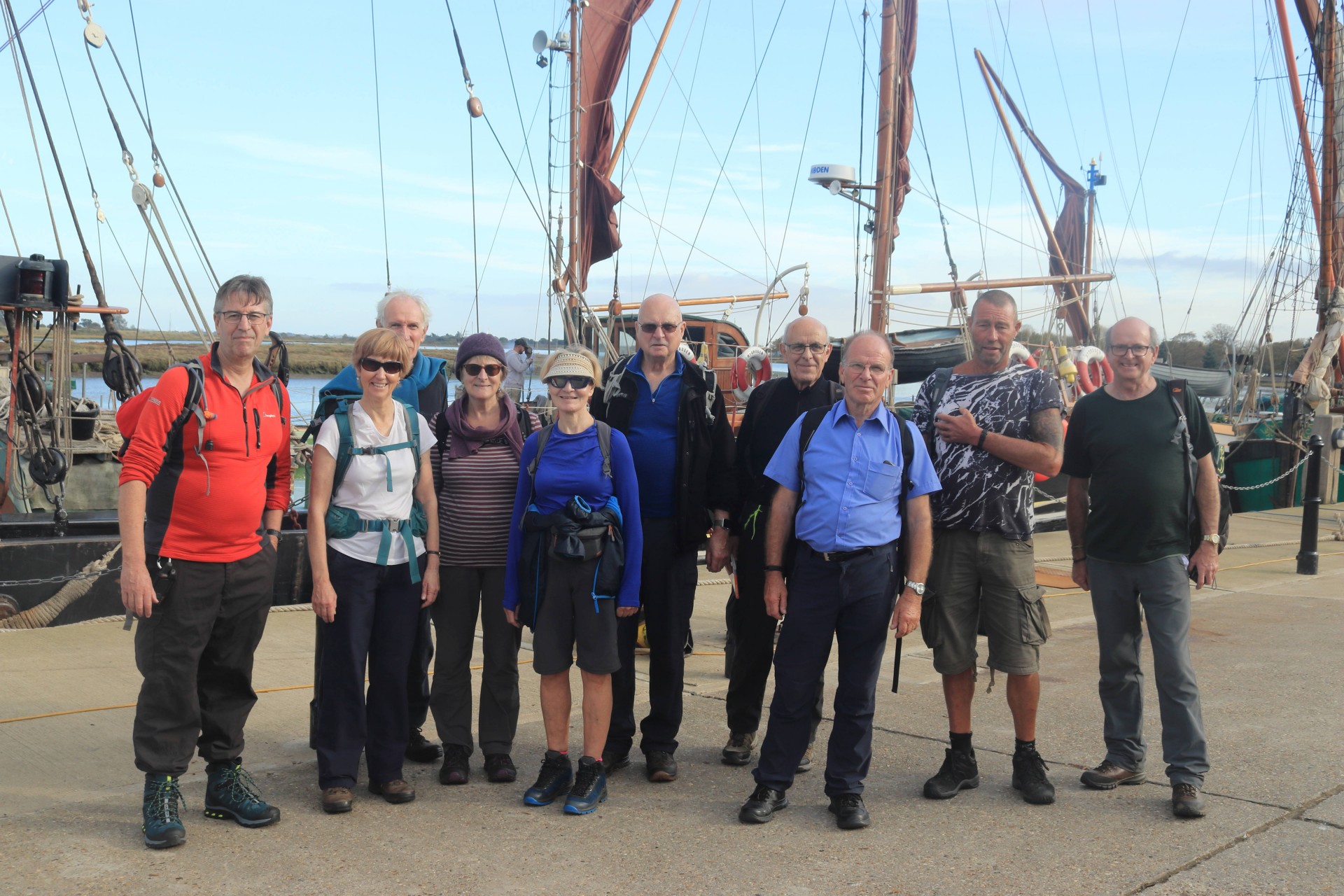
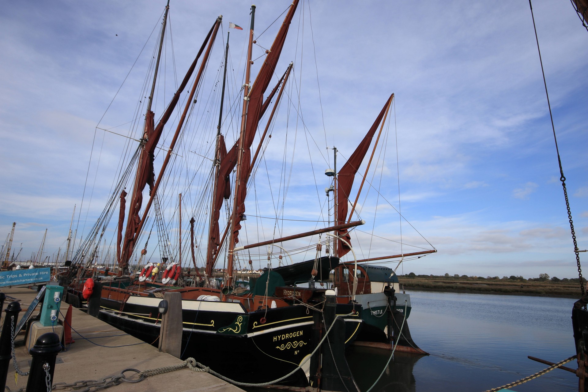
There is a lot to see of interest in Maldon and this nearly resulted in disaster. Less than a mile from our lunch stop and half a mile from our photo shoot the group had split in two. A fleet of immaculately restored Thames barges, the associated historic workshops and other marine artefacts proved such a distraction that some members seemed to forget there were still 8 miles to walk.
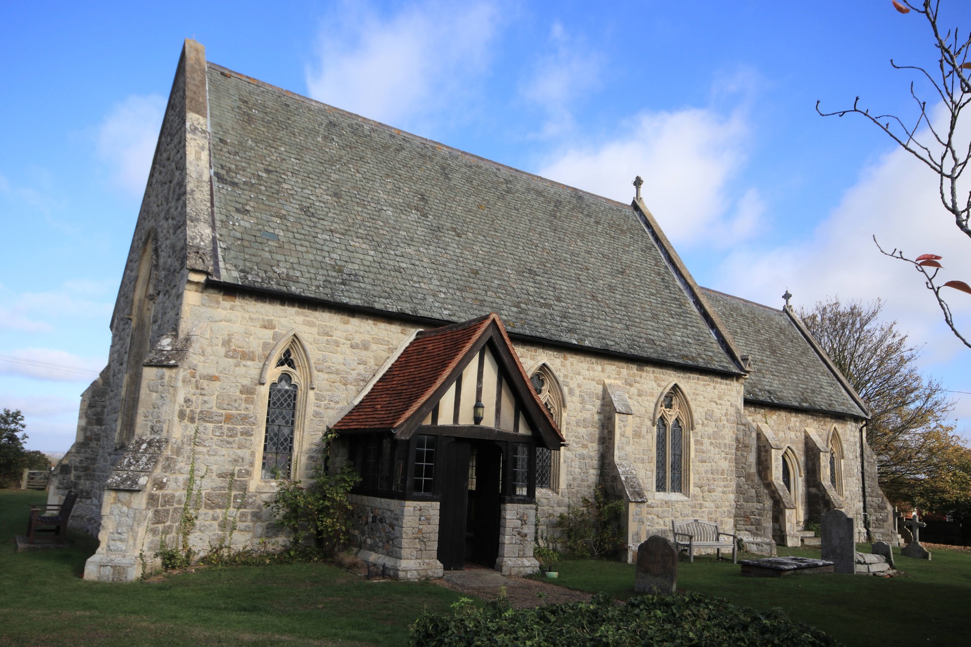
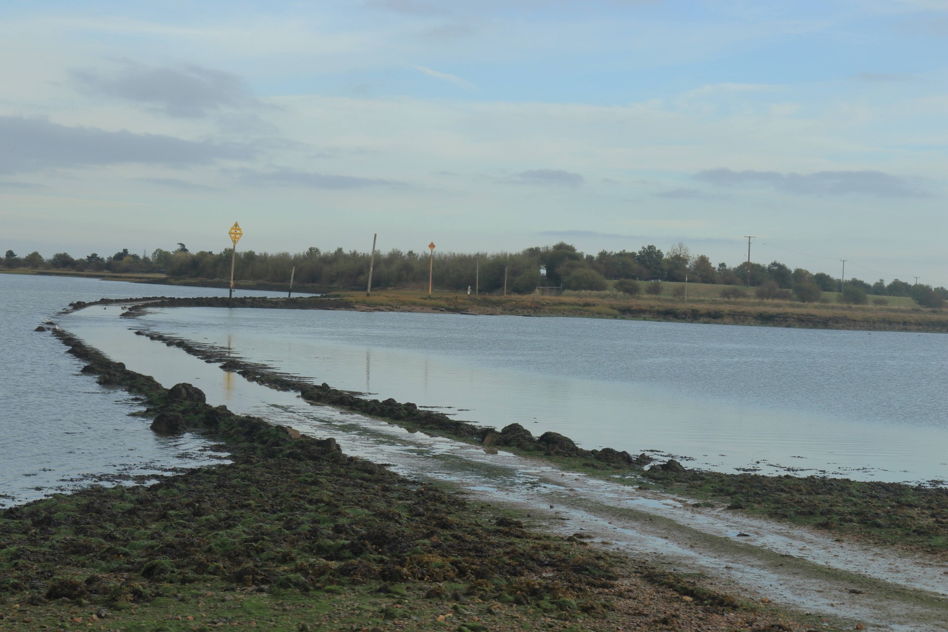
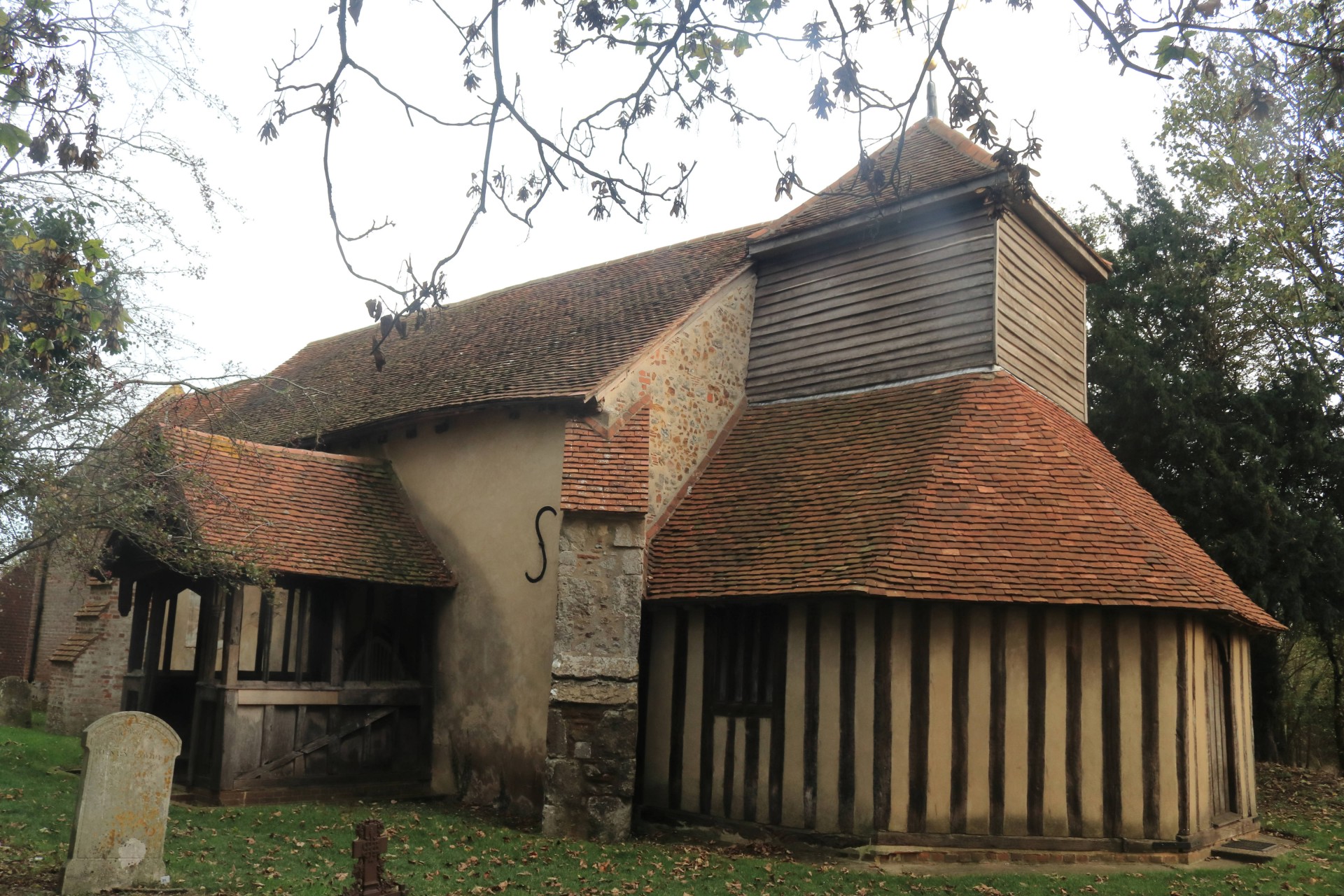
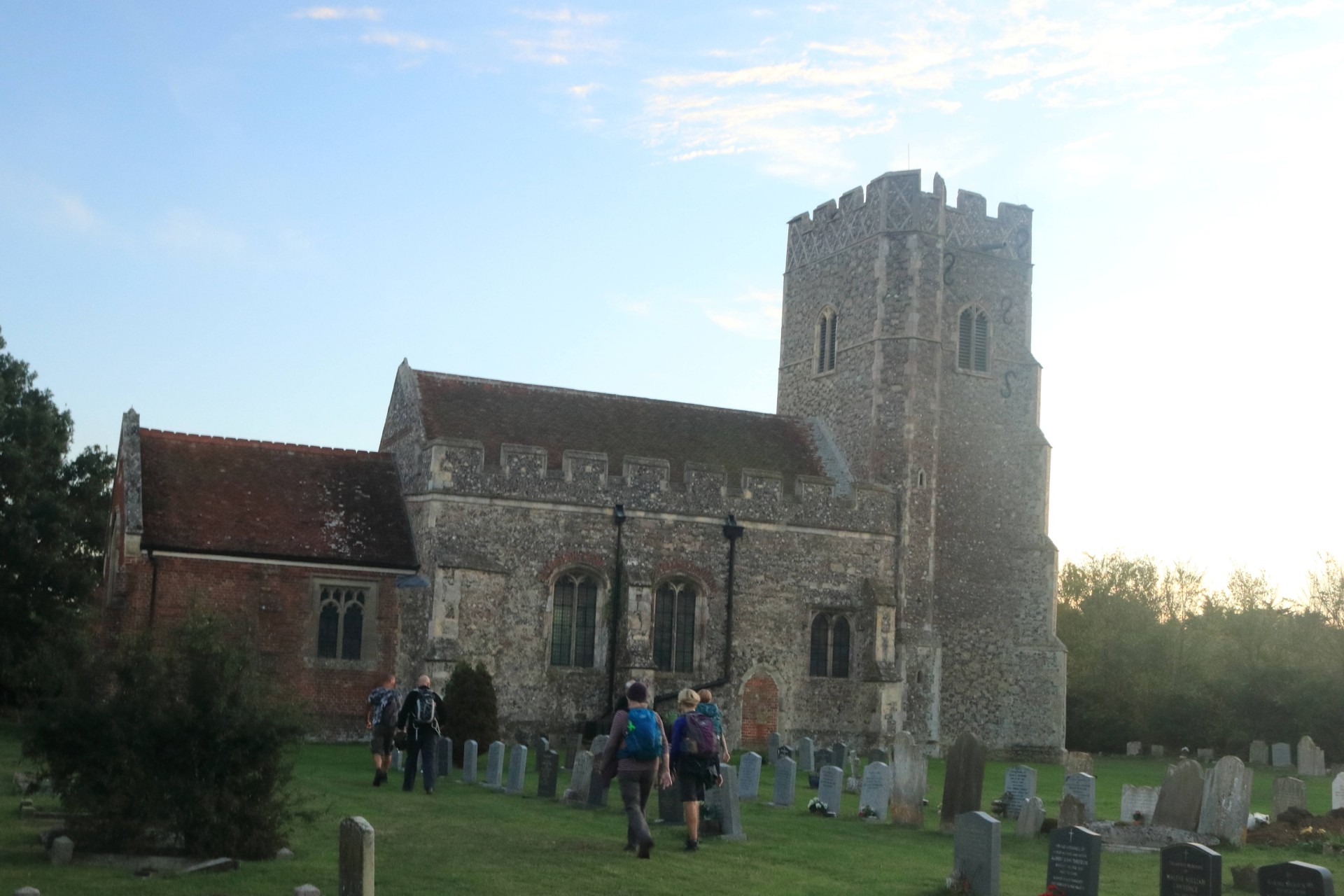
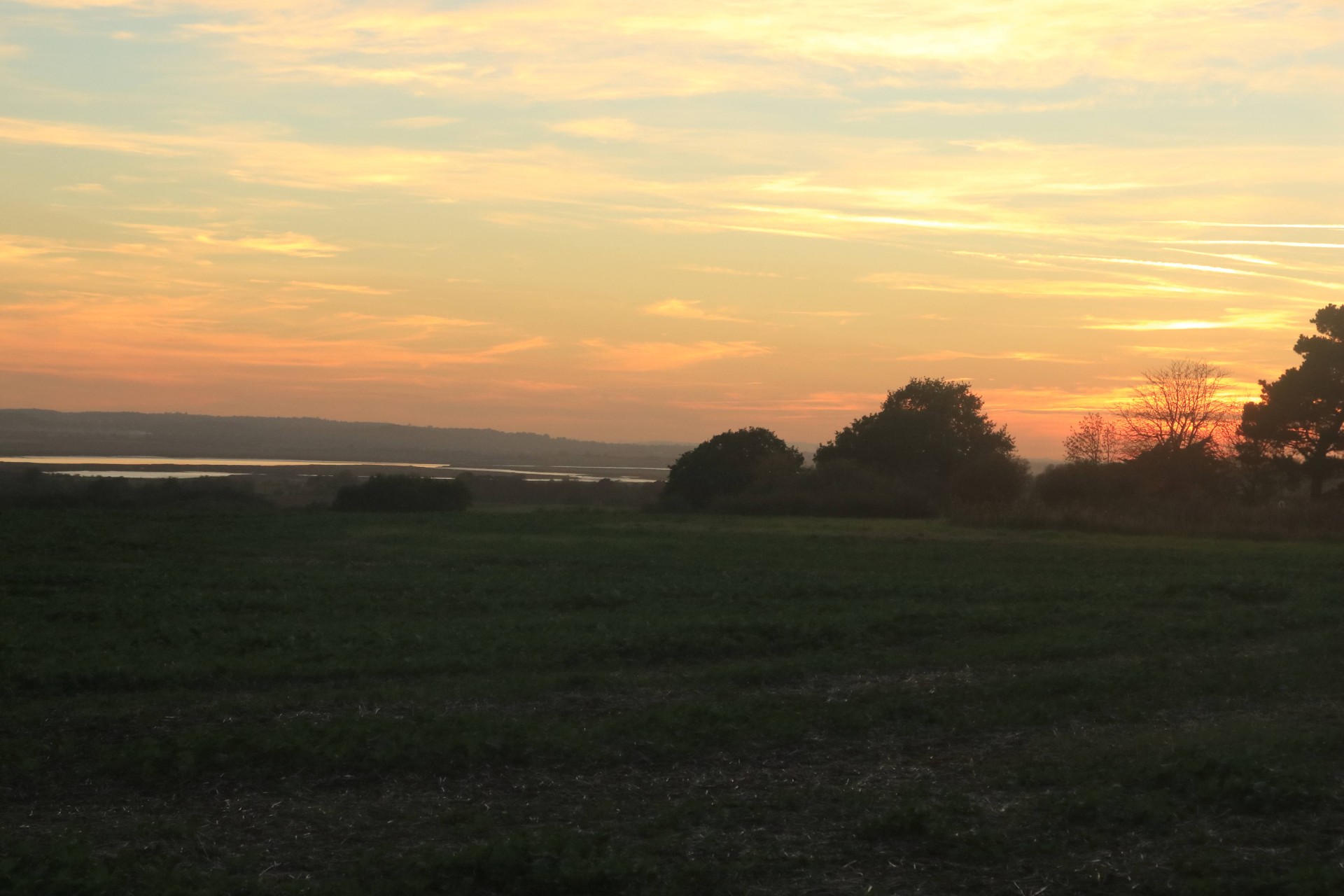
Eventually re-grouped we continued past Northey island, with its causeway still covered by the tide and were now experiencing the vast expanse of the Essex salt marshes a land so remote that it inspired HG Wells description of the Martian landing site in the War of the Worlds. The redundant church of St Marys' Mundon added to this sense of isolation as we made our way back to civilisation at Althorne the deserted station waiting in the sunset for its rush hour.
We were fortunate today to have the services of Gavin our resident photographer whose pictorial account of our exploits can be seen here and on the Group Facebook page, along with photos by Barry Arnold on the latter.
Other Files
Download Walk ReportGPX
A GPX file of the above route may be downloaded by clicking the link below.
Note: GPX files of Group Walks are created by LDWA Group members, and may be downloaded only by other LDWA members. They should not be made available outside the LDWA, and are used at members' own risk.
Login to Download (Members Only)You can use the interactive controls to zoom in and out and to move around the map, or click on a path or a marker for more info. (interactive map help)
You can use the interactive controls to zoom in and out and to move around the map, or click on a path or a marker for more info. (interactive map help)
© OpenStreetMap contributors under Open Database Licence
Rights of way data from selected Local Authorities
Large scale digital mapping is provided by John Thorn
At high zoom levels the route is indicative only.
Gallery

Maps:
You can use the interactive controls to zoom in and out and to move around the map, or click on a marker for more info. (interactive map help)
© OpenStreetMap contributors under Open Database Licence.
Rights of way data from selected Local Authorities.
Large scale digital mapping is provided by John Thorn.


