


Exploring Barnes Village and its environs
Thu 21st Jun 2018
Walk Details:
Event Type
Group Walk
Region
Southern England
Local Group
London
Distance
7.5ml.
Start Time
18.00
Route
Start and finish at Putney Bridge Underground Station
Walk the route of the Boat Race from the Barnes side and then explore Barnes Village and its open spaces. We follow the Barnes Trail with its attractive Oar waymarks. We return to Putney via the shrine to Marc Bolan marking the spot where he died in a car accident
General Notes
We conclude with refreshments in the (quite upmarket) Wetherspoon in Putney
Web Site
Start and Finish
Entry Details:
Cost
Walk Report
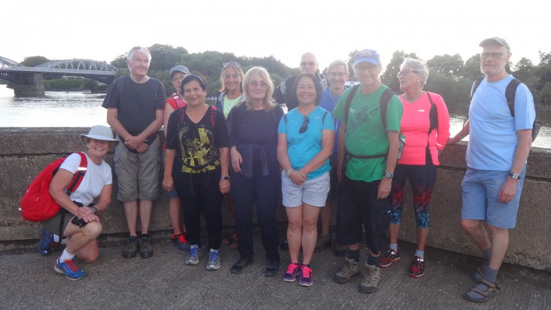
Exploring Barnes Village and its Environs, Thursday 21st June 201813 walkers, 8 miles - leaders Gail & John Elrick
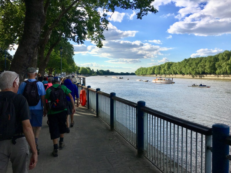
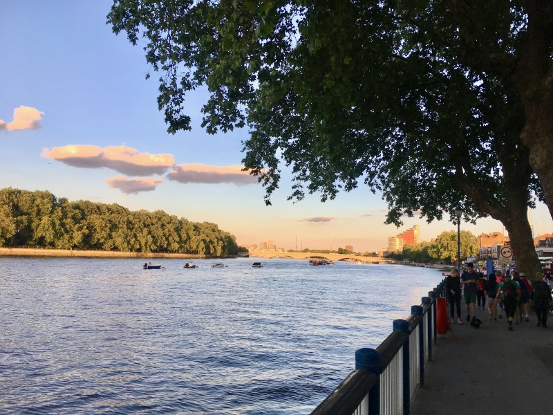
Thirteen people met at Putney Bridge Station. Having crossed the footbridge over the river we continued on the towpath, stopping to look at the monument to Steve Fairburn, the founder of the Head of the River Race. The race is rowed from Mortlake to Putney (i.e. the Boat Race course in reverse) and is usually held on the third or fourth Saturday in March, depending on the tides.
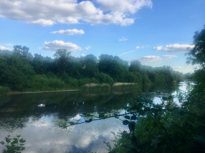
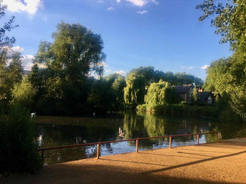
We left the towpath to walk alongside the Barnes Nature Reserve and then followed the Barnes Trail through the village. The Trail is marked by metal oars which carry information about the local area. At Barnes Green we stopped by the pond and then headed over towards Barnes Common to view the Marc Bolan Shrine. This marks the spot where the pop star was killed in a car crash in 1977 at the age of 29.
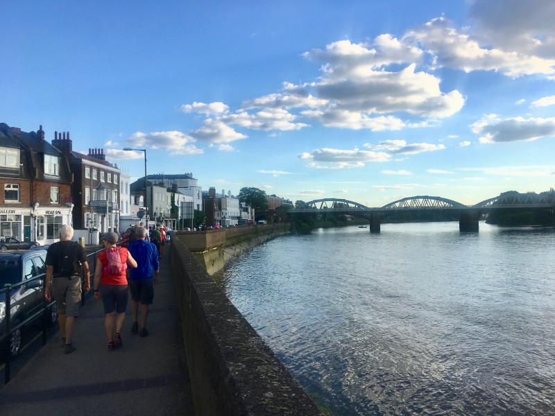
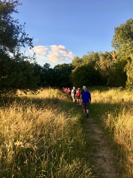
We continued on to Putney Lower Common which looked very rural with the long grass and bright evening sunshine. The path took us back to the river and Putney Bridge. A Midsummer Day's walk blessed with fine weather. Everyone deserved their drink at the nearby Wetherspoon!
Photographs by Gail Elrick
Gallery


Maps:
You can use the interactive controls to zoom in and out and to move around the map, or click on a marker for more info. (interactive map help)
Contains Ordnance Survey data © Crown copyright and database right 2016.
© OpenStreetMap contributors under Open Database Licence.
Rights of way data from selected Local Authorities.
Large scale digital mapping is provided by John Thorn.
© OpenStreetMap contributors under Open Database Licence.
Rights of way data from selected Local Authorities.
Large scale digital mapping is provided by John Thorn.


