


Walk to the Abbey (Linear)
Sat 13th Jan 2018
Walk Details:
Linear walk from Radlett to St. Albans City. Exploring the Hertfordshire way and Colne/Ver valley
Entry Details:
Walk Report
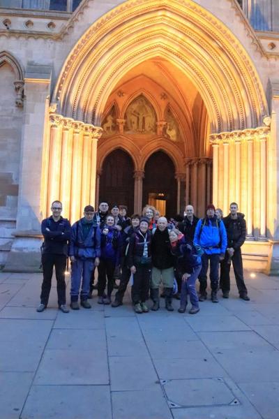
Walk to the Abbey, Saturday 13th January 201821 walkers, 20 miles - leader Jerome Ripp
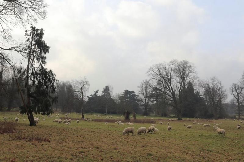
Starting at Radlett, we were soon into woodland and across fields to join the Hertfordshire Way heading east to the first of 5 Motorway crossings over the M25 near the South Mimms service station. Another fine stretch of woodland lead to the remote North Mimms church and estate park. Lunch at the Crooked Billet in Colney Heath was a very pleasant affair with huge plates of cheesy chips being shared around.
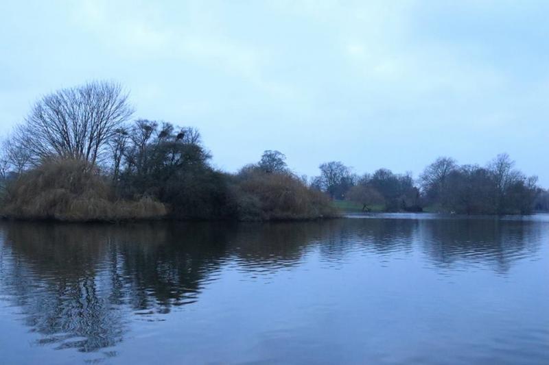
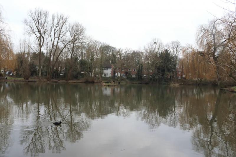
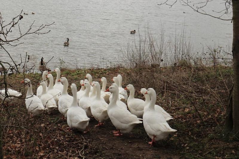
The rather grey murky weather steadily improved over the day and some blue skies appeared for the afternoon section on the Watling Chase Trail around the peaceful Willow lakes passing first a family of geese who seemed to be on their afternoon stroll and later a delightful pram train ride near the family outing farm.
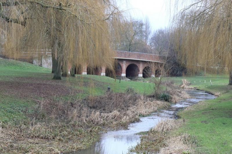
Now following the rivers Colne and later Ver, we headed north to reach our destination of St. Alban's cathedral above Verulanium park, just as the sun set. Walking through the market area as it was closing lead to the only split up of the group all day but fortunately all made it by some method to the station just before 5. A most pleasant walk in such a built-up area and surprisingly no natural wastage.
Photos by Gavin Fuller
Other Files
Download Walk ReportGPX
A GPX file of the above route may be downloaded by clicking the link below.
Note: GPX files of Group Walks are created by LDWA Group members, and may be downloaded only by other LDWA members. They should not be made available outside the LDWA, and are used at members' own risk.
Login to Download (Members Only)You can use the interactive controls to zoom in and out and to move around the map, or click on a path or a marker for more info. (interactive map help)
You can use the interactive controls to zoom in and out and to move around the map, or click on a path or a marker for more info. (interactive map help)
© OpenStreetMap contributors under Open Database Licence
Rights of way data from selected Local Authorities
Large scale digital mapping is provided by John Thorn
At high zoom levels the route is indicative only.
Gallery


Maps:
You can use the interactive controls to zoom in and out and to move around the map, or click on a marker for more info. (interactive map help)
© OpenStreetMap contributors under Open Database Licence.
Rights of way data from selected Local Authorities.
Large scale digital mapping is provided by John Thorn.


