


Beverley Brook Walk (linear)
Tue 6th Jun 2017
Walk Details:
Event Details Updated
Update 2/6
(1) meet at the platform 1 exit to New Malden station (2) there is a very nice little pub at the finish called the Eight Bells.
Event Type
Group Walk
Region
Southern England
Local Group
London
Distance
8ml.
Start Time
18.00
Route
Meet New Malden station (meet at the platform 1 exit ) (17.36 Waterloo), Finish Putney Bridge tube
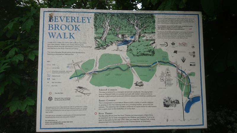
Following the Beverley Brook through Wimbledon Common, Richmond Park and Barnes Common to its confluence with the Thames
General Notes
There is a very nice little pub at the finish called the Eight Bells
Web Site
Start
Finish
Entry Details:
Cost
Walk Report
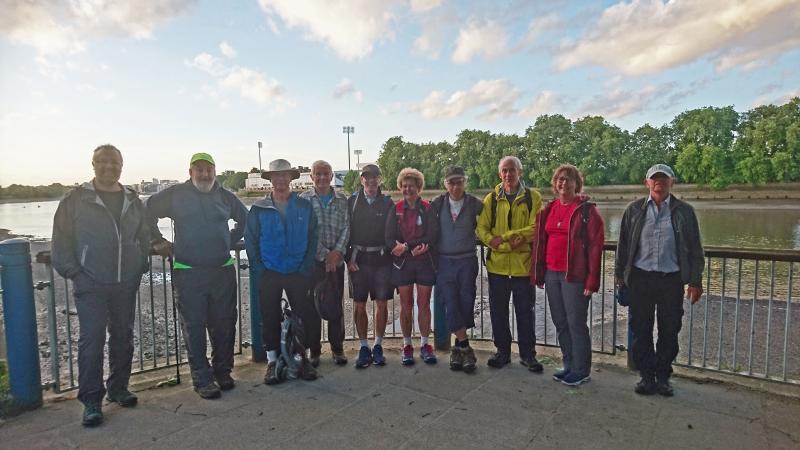
Beverley Brook Walk, Wednesday 6th June 201710 walkers, 8 miles - leader Peter Aylmer
Nine regulars were joined by one new walker, Jane. She was a little concerned whether she could keep up but we later hear that's she's a triathlon regular, so no surprises that she reached the end with much in hand.
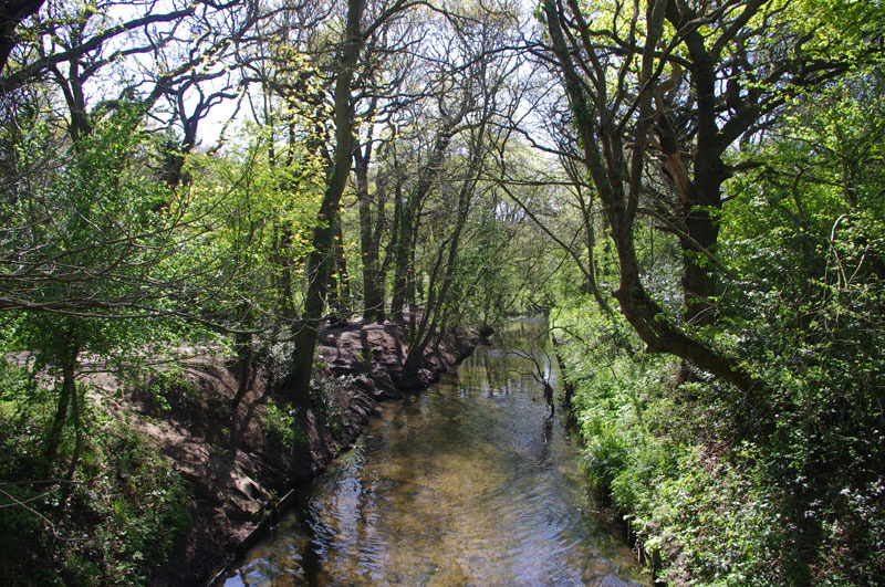
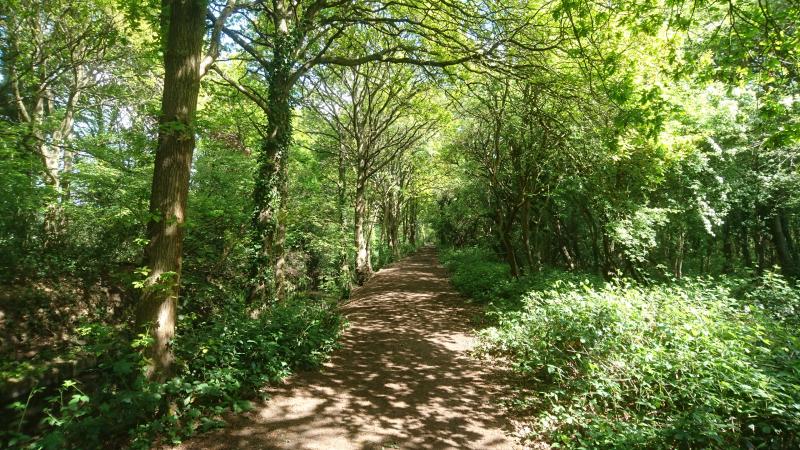
Beverley Brook is a little Thames tributary rises which in Worcester Park but the walk itself starts a little to the north, at New Malden. We first find the brook in a mean little concrete culvert beneath a little bridge just north of the A3, but things do get better as the stream flows busily through Wimbledon Common and then Richmond Park, where a brief heavy shower has us scurrying for the waterproofs. We're pushed off on to roads around the back of East Sheen and find ourselves dallying unwontedly at a level crossing outside Barnes station where no fewer than four trains pass before the barriers lift. We catch another glimpse of the brook on Barnes Common before joining it on Putney Lower Common - one of the wildest places in inner London - for its last few hundred yards to the Thames. Strangely, the brook is narrower here than back in Richmond Park. Just an easy stroll now, past the Thames boathouses to Putney Bridge. For the finish I chose the rather sweet Eight Bells pub, round the corner from Putney Bridge tube, but it was rather crowded and strangely a splinter group headed back over the bridge, muttering something about Wetherspoons.
More photographs by Ian Fairweather on the group Facebook page
Other Files
Download Walk ReportGallery

Maps:
You can use the interactive controls to zoom in and out and to move around the map, or click on a marker for more info. (interactive map help)
Contains Ordnance Survey data © Crown copyright and database right 2016.
© OpenStreetMap contributors under Open Database Licence.
Rights of way data from selected Local Authorities.
Large scale digital mapping is provided by John Thorn.
© OpenStreetMap contributors under Open Database Licence.
Rights of way data from selected Local Authorities.
Large scale digital mapping is provided by John Thorn.


