


An 'Effingham' good walk!
Sat 19th Nov 2016
Walk Details:
19 miles on the commons and foothills of the Downs
Entry Details:
Walk Report
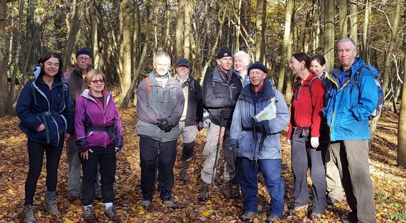
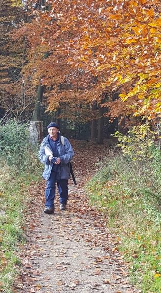
An 'Effingham' Good Walk, Saturday 19th November 201612 walkers, 18.5 miles - leader Jerome Ripp
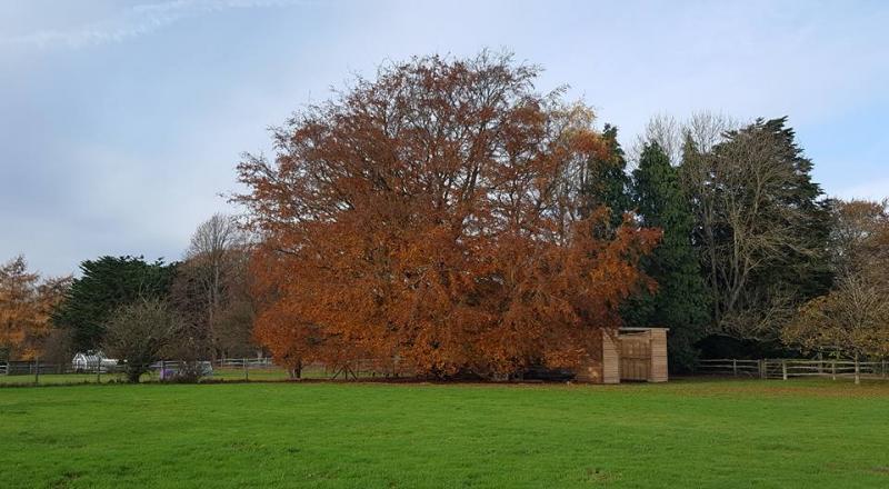
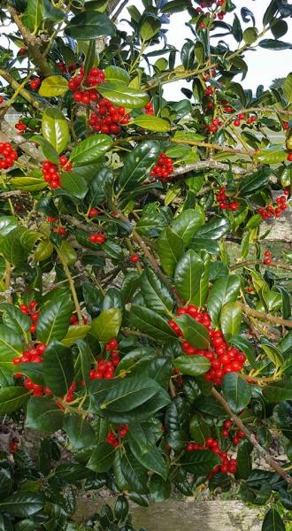
A perfect autumn day, some sunshine, clear and cold, warm as you walked and the most beautiful autumnal colours on the trees. Straight from the station onto a footpath and open common and it was an hour before we came to tarmac and 2 hours before the first stile. However we did encounter a whole range of bizarre stiles subsequently; non-existent, broken, half eaten by horses, slippery, and one of exceptional height which required a perilous descent.
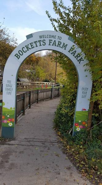
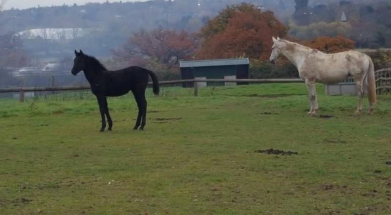
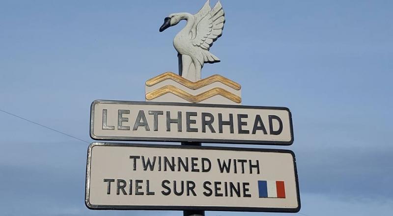
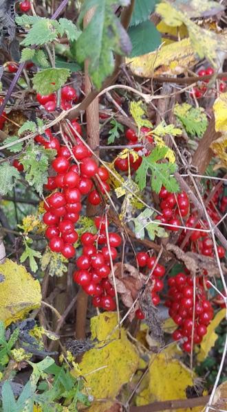
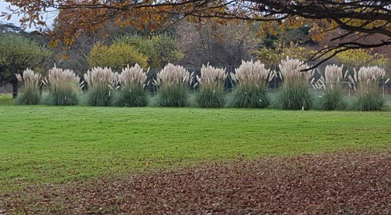
South on the Horsley trail, to foothills of the Downs and then a great loop to the north east to pass below Polesden Lacey and our lunch stop at the Old Barn at Bocketts Farm. Despite the crowds which the fine weather had brought out, food came quickly and we were away in under 40 minutes. A quieter section through the outskirts of Leatherhead, and farmland with some frisky horses before the final section in Great Bookham Common with several loops, finishing just as the sun went down. Photos by Bola Baruwa
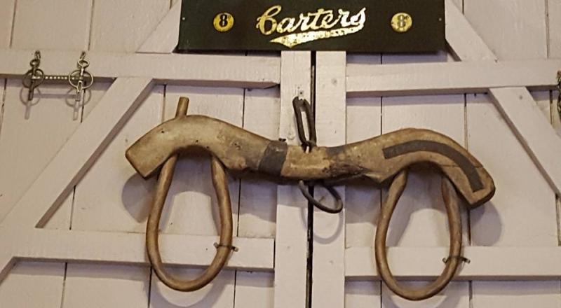
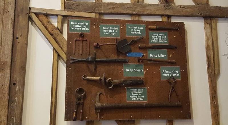
Peter Russell comments on two of the photographs: "Bottom left is an unlabelled Burdizzo clamp castrator that crushes the scrotum just above the testes. The testes become starved of blood and shrivel up. On the right it is a bull, not bulb, ring nose piercer.
I used both about 50 years ago."
Don't try at home!
Other Files
Download Walk ReportGPX
A GPX file of the above route may be downloaded by clicking the link below.
Note: GPX files of Group Walks are created by LDWA Group members, and may be downloaded only by other LDWA members. They should not be made available outside the LDWA, and are used at members' own risk.
Login to Download (Members Only)You can use the interactive controls to zoom in and out and to move around the map, or click on a path or a marker for more info. (interactive map help)
You can use the interactive controls to zoom in and out and to move around the map, or click on a path or a marker for more info. (interactive map help)
© OpenStreetMap contributors under Open Database Licence
Rights of way data from selected Local Authorities
Large scale digital mapping is provided by John Thorn
At high zoom levels the route is indicative only.
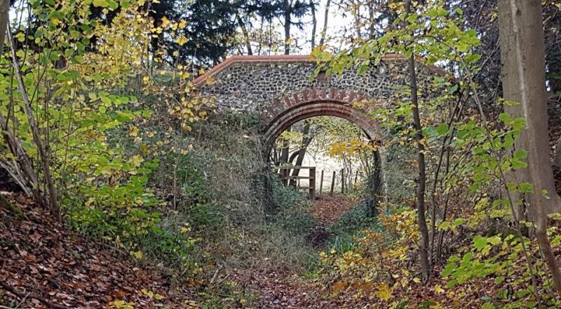
Gallery


Maps:
You can use the interactive controls to zoom in and out and to move around the map, or click on a marker for more info. (interactive map help)
© OpenStreetMap contributors under Open Database Licence.
Rights of way data from selected Local Authorities.
Large scale digital mapping is provided by John Thorn.


