


Richmond Park and Ham Common (Linear)
Wed 24th Aug 2016
Walk Details:
Event Type
Group Walk
Region
Southern England
Local Group
London
Distance
8ml.
Start Time
18.00
Route
Meet Richmond stn (frequent Rail or District Line service). Finish Kingston stn
Up Richmond Hill to Richmond Park, usually quite tranquil at this time of day, to exit via Ham Gate then through Ham Common to the River Thames and along the towpath to Kingston
General Notes
Finish at a pub (probably the Wetherspoons). Map: London South (Explorer 161)
Web Site
Start
Finish
Entry Details:
Cost
Walk Report
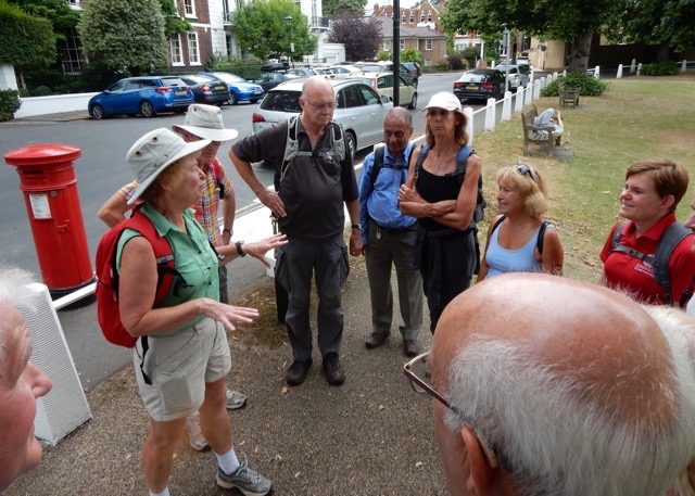
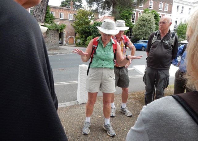
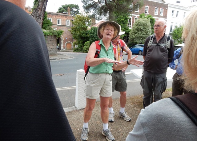
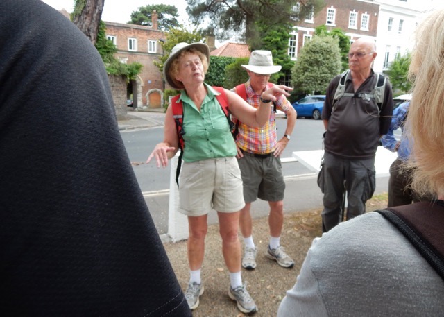
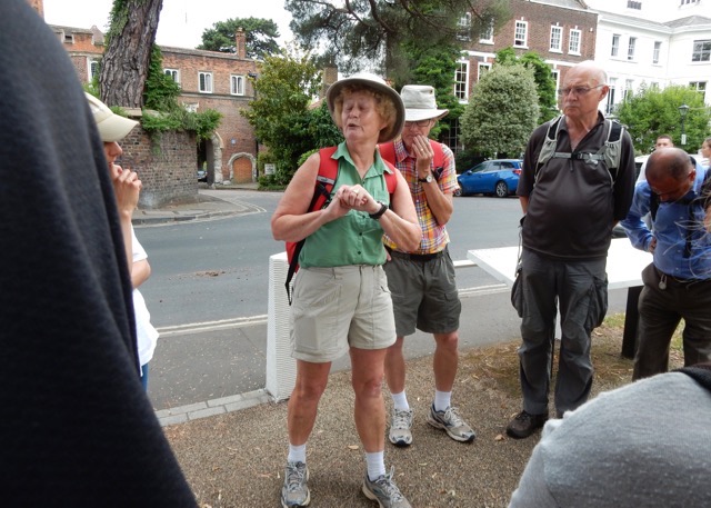
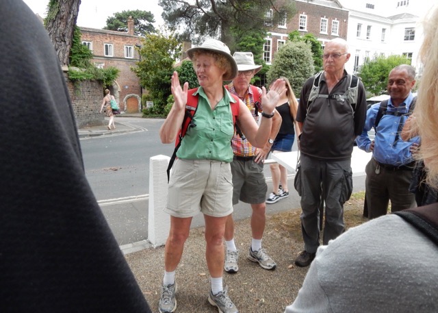
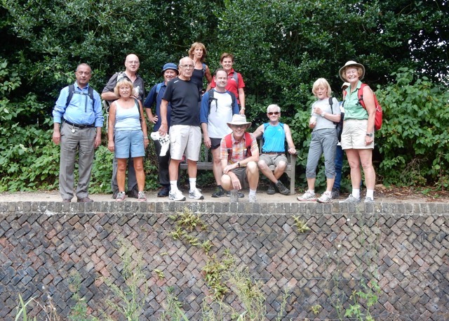
Richmond Park and Ham Common, Wednesday 24th August 201615 walkers, 8.5 miles - leaders Gail and John Elrick
The hottest day of the year and problems on the rail and tube did not deter the 14 walkers who managed to get to the start at Richmond station. We headed off along the towpath and across Petersham Meadows (still with cows) to emerge at the eerily quiet Petersham Road which is completely closed for August whilst new gas pipes are laid. Heading up to Pembroke Lodge we stopped to look at the Ian Dury bench, which remembers the pop star who died in 2000, and Poet's Corner in remembrance of the 18th century poet, James Thomson, who died at Richmond in 1748. From there we stopped briefly at King Henry's Mound but it was too hazy to see St. Paul's Cathedral along the protected vista.
Emerging on to Ham Common we saw Dave who had finally managed to catch us up after a long delay on the train at Clapham Junction. On reaching Teddington Lock we stopped at the RNLI lifeboat station to admire the black granite monument opposite the site of Toughs Boatyard where over 100 little ships were organised to help in the Dunkirk evacuation in May 1940. The new RNLI lifeboat based at Teddington is the 'Peter Saw', a gift by Hilary Saw in memory of her late husband Peter Saw, who had been an active London LDWA member.
After a brisk walk along the towpath, accompanied by some vivid lightning, we emerged at Kingston where some of the group left for home whilst others retired to the nearby Wetherspoons pub.
Photographs by Godfrey O'Callaghan
Other Files
Download Walk ReportGallery
Maps:
You can use the interactive controls to zoom in and out and to move around the map, or click on a marker for more info. (interactive map help)
Contains Ordnance Survey data © Crown copyright and database right 2016.
© OpenStreetMap contributors under Open Database Licence.
Rights of way data from selected Local Authorities.
Large scale digital mapping is provided by John Thorn.
© OpenStreetMap contributors under Open Database Licence.
Rights of way data from selected Local Authorities.
Large scale digital mapping is provided by John Thorn.


