


The Other Way in Essex (linear)
Sat 25th Jun 2016
Walk Details:
Route taking us through Gernon Bushes, along(ish) the Essex Way through Toot Hill bypassing Chipping Ongar to a first b-y-o refreshment stop at Shelley churchyard (approx 9 miles).
Then via Clatterford End to meet up with the Three Forests Way and a second b-y-o refreshment stop at Abbess Roding (approx 14 miles).
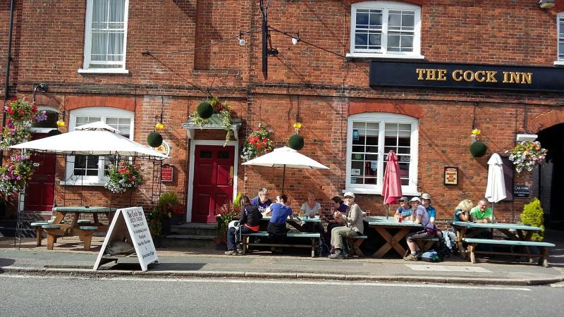
Continue along the Three Forests Way (approximately) to the first opportunity for purchased food/drink in White Roding (approx 16.5 miles); onward again mostly along the Three Forests Way to the second food/drink option at the Cock Inn in Hatfield Broad Oak (approx 20 miles).
Final leg branches off and we traverse the lower part of Hatfield Forest before crossing the fields into Bishops Stortford.
Entry Details:
Walk Report
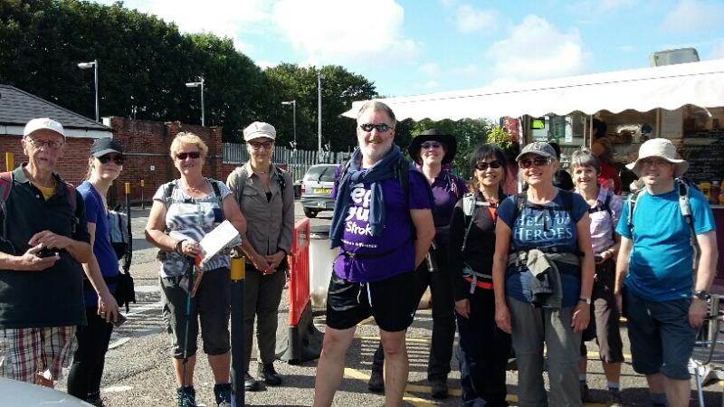
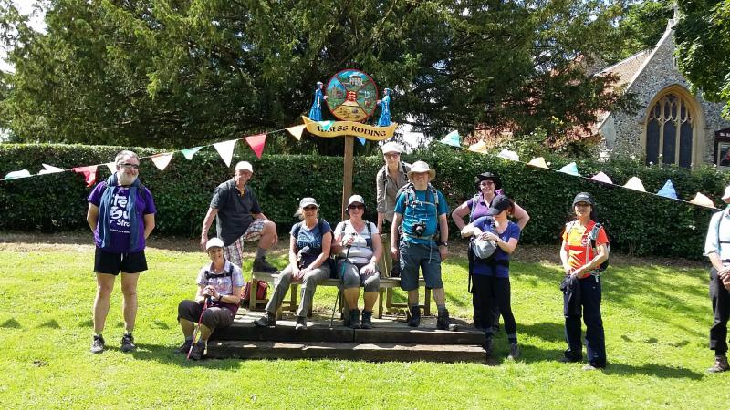
The Other Way in Essex, Saturday 25th June 201612 walkers, 26 miles - leader Dick Bowman
At 26 miles, I believe that this was the longest group walk on the London LDWA calendar so far this summer. The walk largely followed two footpaths; the Essex Way from Epping Forest towards Toot Hill and Chipping Ongar, a little after which we picked up the Three Forests Way near Fyfield, towards Bishops Stortford.
There were four 'pit stops' on this walk, which were perfectly timed. The first at St Peter's Church, Shelley after our first 9 miles, the second at Abbess Roding, then later at Bretts farm shop in White Roding, a great find, as was the Cock Inn Public House in Hatfield.
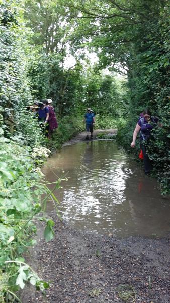
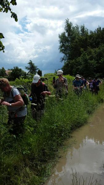
The unseasonably heavy rain we've had in the South East of England over the last couple of weeks was certainly evident under foot throughout the walk.
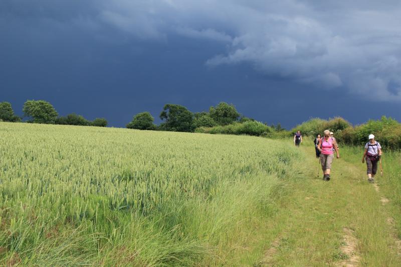
We were fortunate with the weather, being mostly sunny all day, but it was humid, especially in the fields. Despite the rumbles of thunder and spectacular lighting seen afar, the rain-heavy black clouds seemed to bypass our route until the very last few miles, as we headed towards our finish. It was quite refreshing! At least it gave us a boost to get to the station on time and to finish the walk in 10 hours, which included our well-earned breaks. Well done to all!
Report by Helen Franklin
Twelve walkers, well-led by Dick, set off on a 26 mile "marathon" trip around some of Essex's well- but also lesser-known paths.
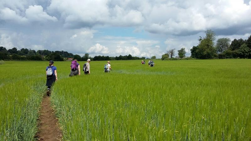
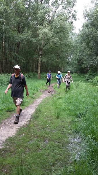
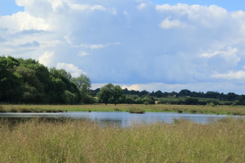
We splashed through "some" mud and pools of lying water. (You were right Dick, we loved The Marsh!) but mainly followed beautiful long grassy trails, woodland tracks and "snaked" through fields of yellowing barley and fresh green wheat. Colours were heightened by bright sunshine under wide east country skies. The tree-line views in the distances were at their Essex best.
Four much-needed and interesting refreshment breaks fuelled our progress, including one at Abbess Roding, site of St Edmunds church of which the medieval abbess of Barking was patron. All twelve walkers finished the trail, well satisfied with our day's prowess.
Report by Dorothy Shepherd
Photographs by Joelle Paul & Gavin Fuller
Other Files
Download Walk ReportGPX
A GPX file of the above route may be downloaded by clicking the link below.
Note: GPX files of Group Walks are created by LDWA Group members, and may be downloaded only by other LDWA members. They should not be made available outside the LDWA, and are used at members' own risk.
Login to Download (Members Only)You can use the interactive controls to zoom in and out and to move around the map, or click on a path or a marker for more info. (interactive map help)
You can use the interactive controls to zoom in and out and to move around the map, or click on a path or a marker for more info. (interactive map help)
© OpenStreetMap contributors under Open Database Licence
Rights of way data from selected Local Authorities
Large scale digital mapping is provided by John Thorn
At high zoom levels the route is indicative only.
Gallery
Maps:
You can use the interactive controls to zoom in and out and to move around the map, or click on a marker for more info. (interactive map help)
© OpenStreetMap contributors under Open Database Licence.
Rights of way data from selected Local Authorities.
Large scale digital mapping is provided by John Thorn.


