


Greenwich Tops
Wed 11th May 2016
Walk Details:
Circular featuring the hills of Greenwich Park and Charlton, the Thames Path and a Wetherspoons at the end
Entry Details:
Walk Report
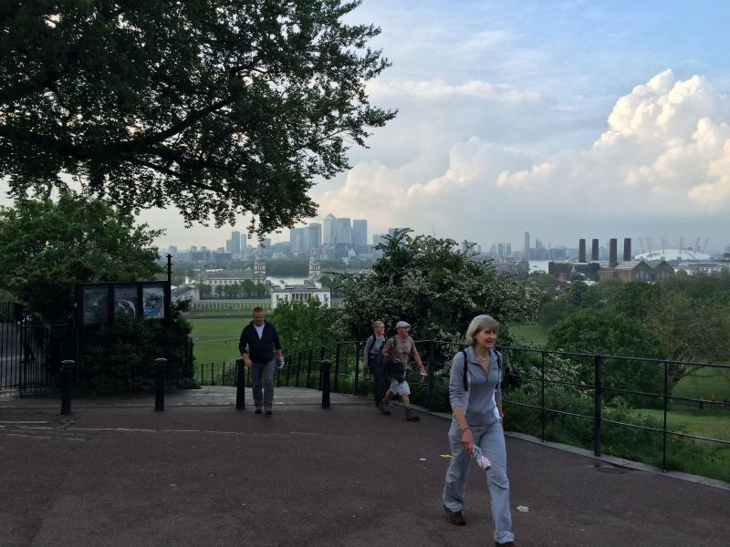
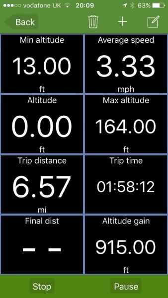
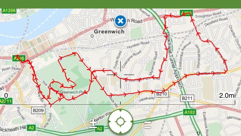
Greenwich Tops, Wednesday 11th May 201612 walkers, 6.5 miles - leader Julie Welch
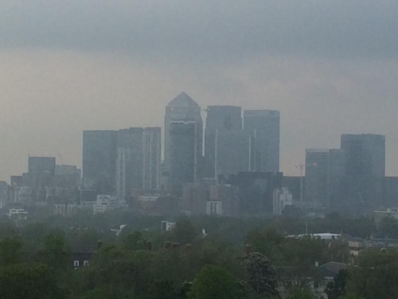
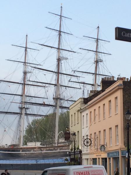
A balmy spring evening zig-zagging up and down the hills of Greenwich Park before heading towards Charlton House and descending into the maelstrom of Woolwich Road. We escaped by scaling Westcombe Hill and took in Greenwich Park's central mini-Alp before our finish at Cutty Sark.
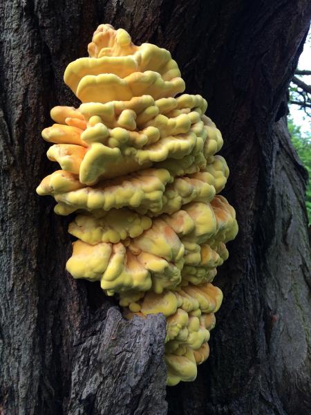
Photographs by Julie Welch and Adam Dawson
Other Files
Download Walk ReportGPX
A GPX file of the above route may be downloaded by clicking the link below.
Note: GPX files of Group Walks are created by LDWA Group members, and may be downloaded only by other LDWA members. They should not be made available outside the LDWA, and are used at members' own risk.
Login to Download (Members Only)You can use the interactive controls to zoom in and out and to move around the map, or click on a path or a marker for more info. (interactive map help)
You can use the interactive controls to zoom in and out and to move around the map, or click on a path or a marker for more info. (interactive map help)
© OpenStreetMap contributors under Open Database Licence
Rights of way data from selected Local Authorities
Large scale digital mapping is provided by John Thorn
At high zoom levels the route is indicative only.
Gallery


Maps:
You can use the interactive controls to zoom in and out and to move around the map, or click on a marker for more info. (interactive map help)
© OpenStreetMap contributors under Open Database Licence.
Rights of way data from selected Local Authorities.
Large scale digital mapping is provided by John Thorn.


